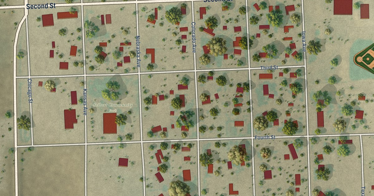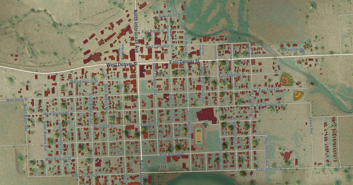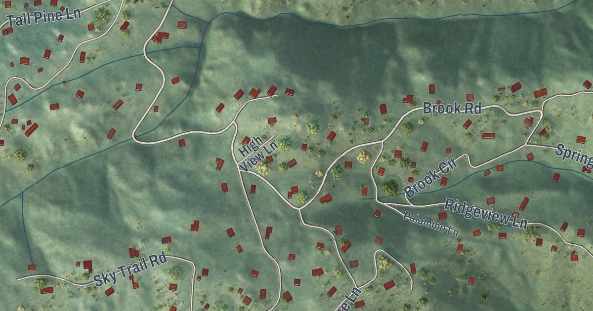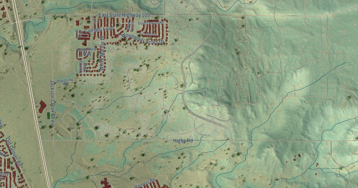
This beautifully detailed map of Monument, Colorado was created in 2026 using aerial imagery combined with modern topographical, census, street and landmark data. It’s a one-of-a-kind view of Monument that combines accurate data with a vintage aesthetic. The map shows every building in its true location, many of the roads carry their names, and the shaded topographic relief shows the shape of the land.
Explore an aerial view of Monument, Colorado
On the map you’ll find Jackson Creek Parkway, Leather Chaps Drive, Forest Lakes Drive, Woodmoor Acres Drive, Old Denver Road, Beacon Lite Road, Old Denver Highway, Washington Street, North Monument Lake Road, Higby Road, Mitchell Avenue, Lyons Tail Road, and more. If you look closely you can even find your house accurately drawn in its correct location. Zoom in on the preview to look for yours.
Did you know this piece of Monument, Colorado history?
From the Colorado Encyclopedia: "The Palmer Divide is a ridge between Denver and Colorado Springs that runs east from Palmer Lake, separating the Arkansas River and South Platte River drainage systems. In the 1860s, homesteaders and ranchers began to settle the area and founded the town of Monument in 1865."
Take a closer look at the Monument map
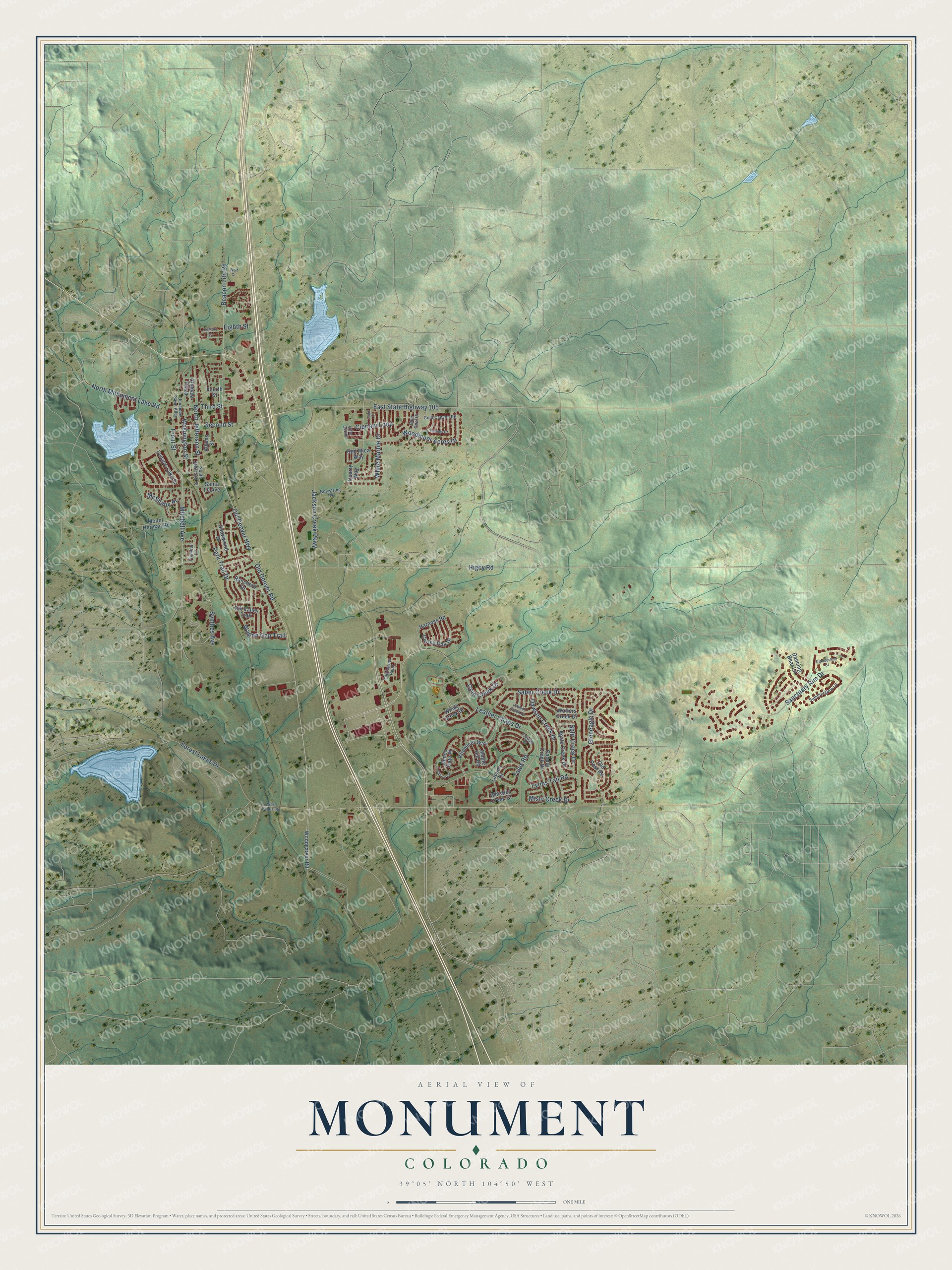
Street names on the Monument, Colorado map
These names are printed on the map of Monument, Colorado.
Streets and roads: Jackson Creek Parkway, Leather Chaps Drive, Forest Lakes Drive, Woodmoor Acres Drive, Old Denver Road, Beacon Lite Road, Old Denver Highway, Washington Street, North Monument Lake Road, Higby Road, Mitchell Avenue, Lyons Tail Road.
More street names, A to Z
Adams Street, Agate Creek Drive, Blue Opal Court, Bowstring Road, Candle Creek Drive, Century Lane, Chapala Plaza, Cipriani Loop, Clandestine Court, Curled Oak Drive, Dancing Bear Lane, Dawson Creek Drive, East State Highway 105, Eighth Street, Elk Valley Trail, Fourth Street, Front Street, Gleneagle Drive, Gold Canyon Road, Gold Creek Drive, Harness Road, James Gate Place, Kitchener Way, Lacuna Drive, Lapis Court, Leisure Lake Drive, Maple Hill Road, McShane Place, Misty Creek Drive, Mount Herman Road, North Jefferson Street, Old Forest Point, Old Post Road, Oxbow Drive, Paiute Circle, Park Trail Drive, Quarry Way, Ranchero Drive, Red Mica Way, Saber Creek Drive, Sanctuary Rim Drive, Santa Fe Avenue, Second Street, Snowwood Drive, South Jefferson Street, Split Creek Drive, Summerglow Lane, Synthes Avenue, Tailings Drive, Talus Road, Third Street, Trumbull Lane, Unnamed Saint Alley, Venison Creek Drive, Villa Grove, Wagon Gap Trail, Walters Creek Drive, West Baptist Road, Whistler Creek Court, White Marble Drive, Windy Creek Drive, Wolf Court, Woodcarver Road.
See the Monument, Colorado map on a wall
The Monument map as an 18 x 24 inch print in a black frame.

This beautifully detailed map of Monument makes an attractive addition to your office, library, or den, and it can even be used to teach children the geography and history of the area. It also makes a great gift for anyone with Monument roots. When you’re done exploring, click here to get your copy of the Monument map.