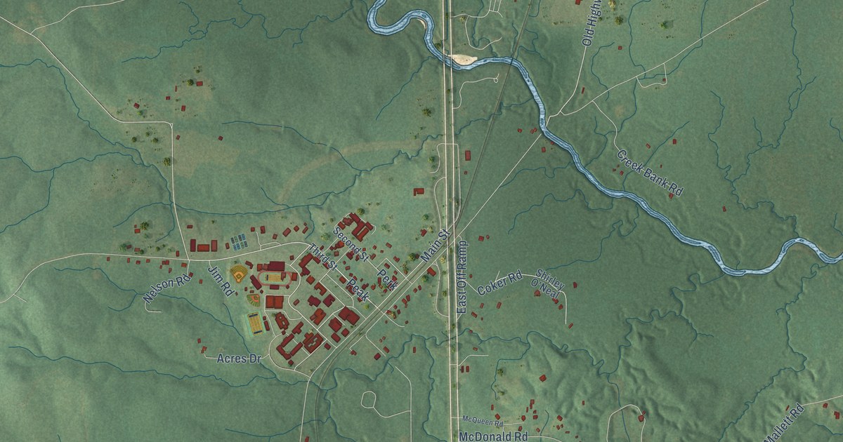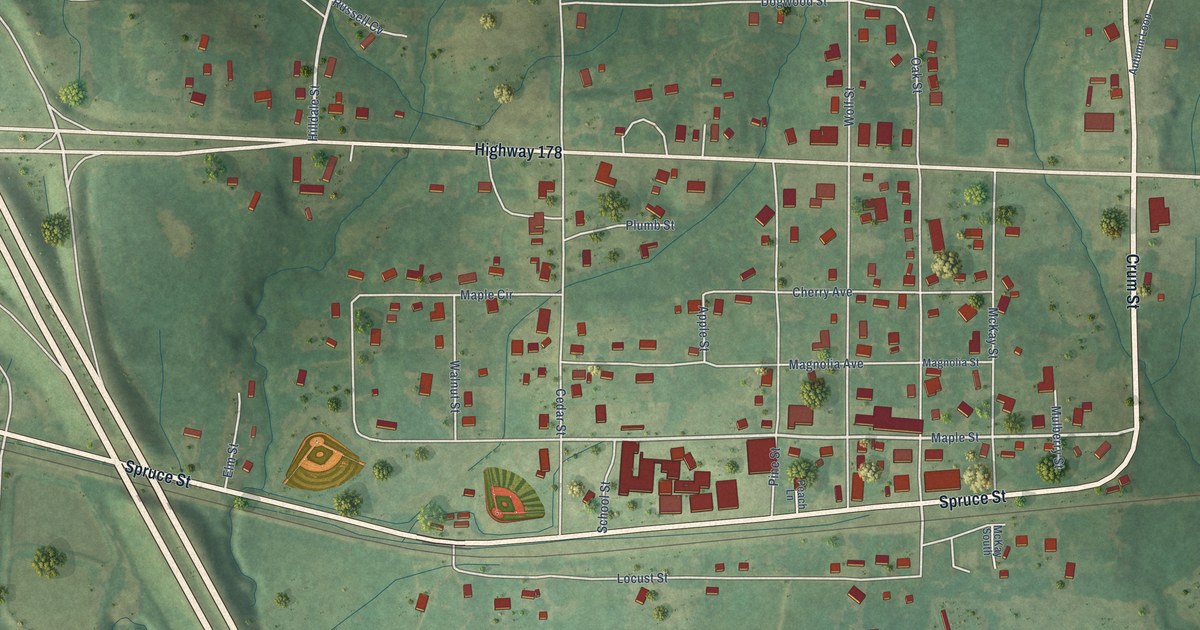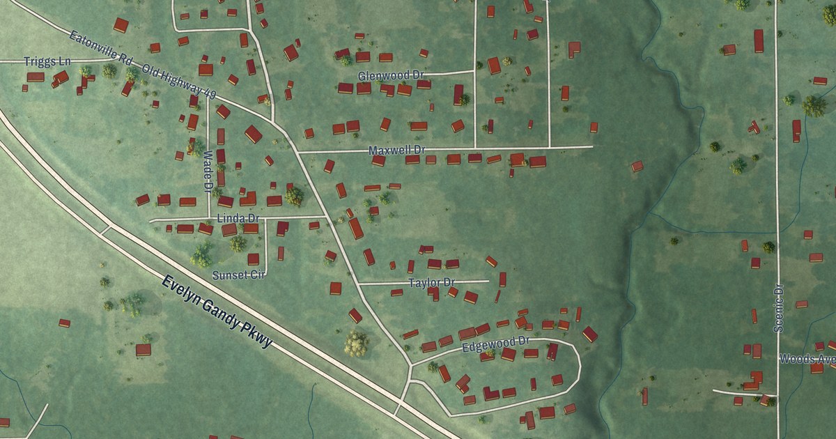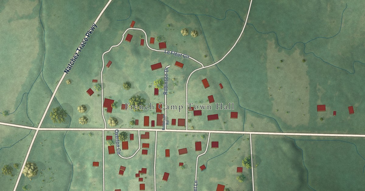
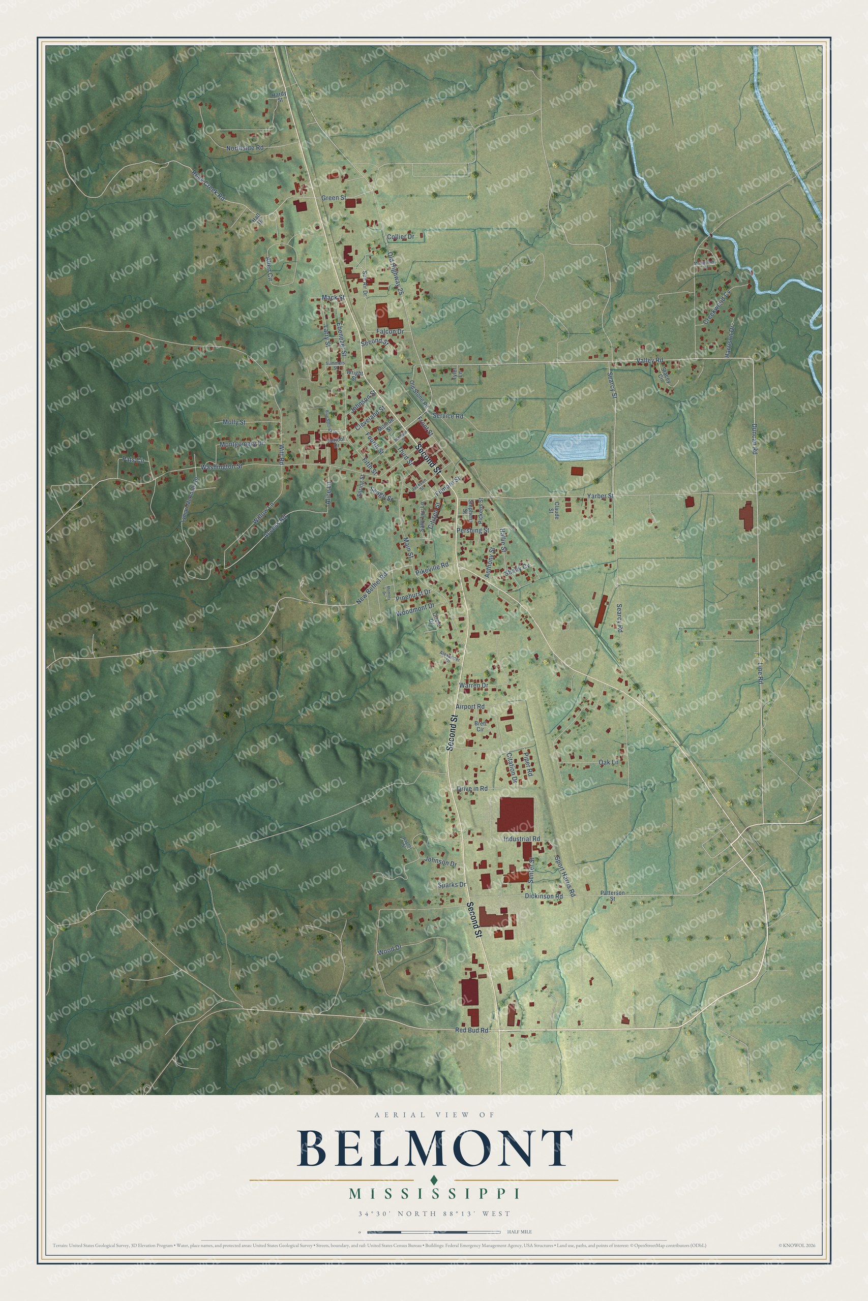
This beautifully detailed map of Belmont, Mississippi was created in 2026 using aerial imagery combined with modern topographical, census, street and landmark data. It’s a one-of-a-kind view of Belmont that combines accurate data with a vintage aesthetic. The map shows every building in its true location, many of the roads carry their names, and the shaded topographic relief shows the shape of the land.
Explore an aerial view of Belmont, Mississippi
On the map you’ll find Second Street, Red Bud Road, Duncan Road, Valley Road, Ebenezer Street, Johnson Street, Old Highway 25, Searcy Street, Filmore Street, Yarber Street, Industrial Road, Wood Drive, and more. If you look closely you can even find your house accurately drawn in its correct location. Zoom in on the preview to look for yours.
Did you know this piece of Belmont, Mississippi history?
From the Mississippi Legislature: "After a couple of years of surveying and right-of-way purchasing, construction began on a rail line that would connect Corinth, Mississippi, and Haleyville, Alabama, passing, of course, through Belmont."
Take a closer look at the Belmont map
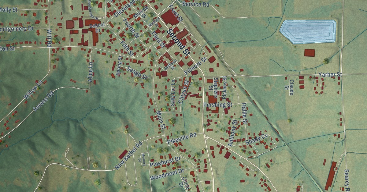
Street names on the Belmont, Mississippi map
These names are printed on the map of Belmont, Mississippi.
Streets and roads: Second Street, Red Bud Road, Duncan Road, Valley Road, Ebenezer Street, Johnson Street, Old Highway 25, Searcy Street, Filmore Street, Yarber Street, Industrial Road, Wood Drive.
More street names, A to Z
Access Road, Airport Road, Alexander Drive, Alice Lane, Allen Circle, Anthony Street, Blue Springs Drive, Brett Circle, Circle Drive, Citation Drive, Citizen Street, Claude Street, Cleveland Street, Collier Drive, Creekwood Cv, Dickinson Road, Drive in Road, Falcon Drive, Fifth Street, Fourth Street, Front Street, Green Street, Hall Drive, Hallie Street, Hardy Street, Harrison Drive, Jackson Street, Johnson Drive, Larry Street, Line Road, Lyman McAnally Drive, Mack Street, Madison Street, Main Street, Memory Drive, Molly Street, Monroe Street, Montgomery Circle, Montgomery Drive, New Bethel Road, Northside Road, Oak Lane, Old Stone Road, Pats Circle, Patterson Street, Pershing Street, Pickens Street, Pikeville Road, Pinehurst Drive, Piper Road, Raptor Street, Rock Creek Road, Sally Lou Lane, School Drive, Seago Street, Searcy Road, Senter Street, Service Road, Shady Cv, Sparks Drive, Sport Harris Road, Spring Street, Stacey Circle, Stephens Street, Summers Street, Sun Air Drive, Third Street, Tyler Lane, Warren Drive, Washington Street, Willow Lane, Witt Road, Woodmont Drive, Wright Street.
See the Belmont, Mississippi map on a wall
The Belmont map as an 18 x 24 inch print in a black frame.

This beautifully detailed map of Belmont makes an attractive addition to your office, library, or den, and it can even be used to teach children the geography and history of the area. It also makes a great gift for anyone who grew up in Belmont or moved away. When you’re done exploring, click here to get your copy of the Belmont map.