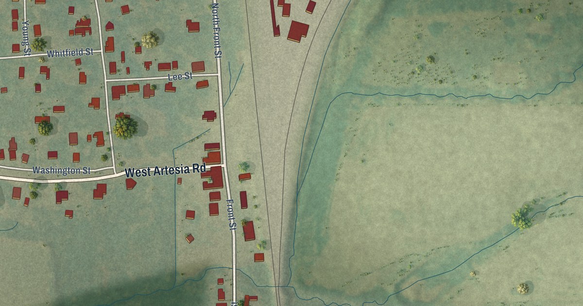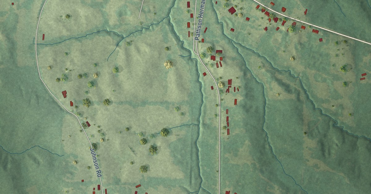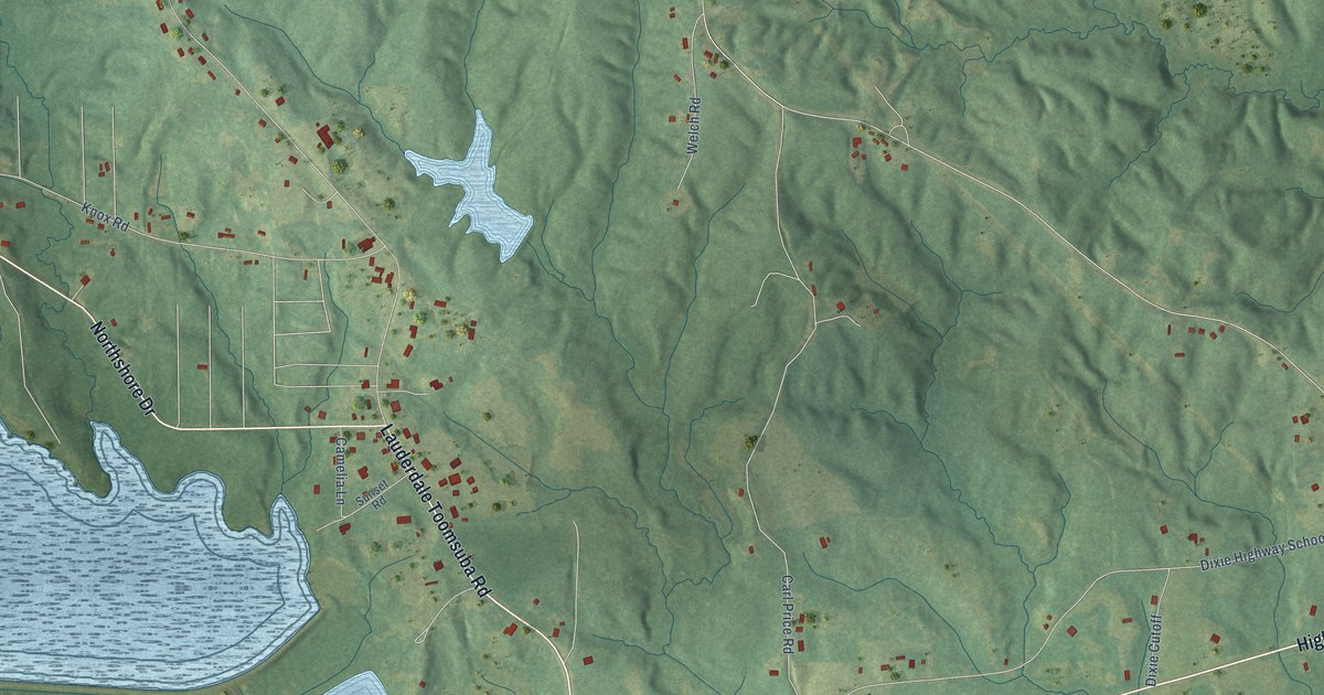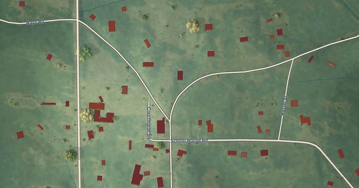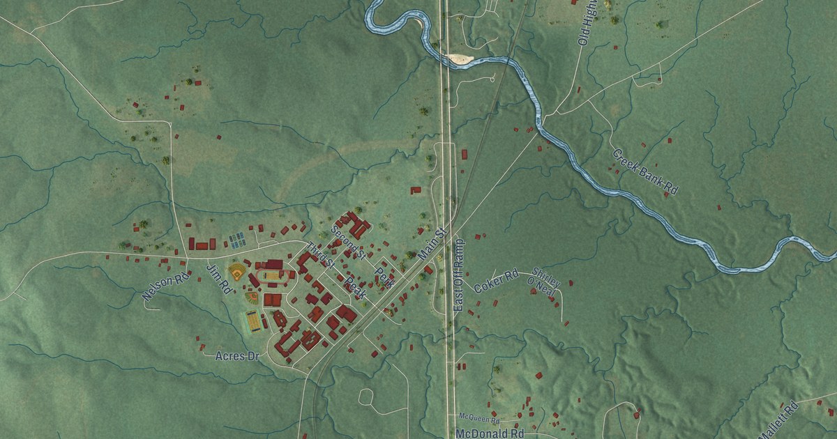
This beautifully detailed map of Perkinston, Mississippi was created in 2026 using aerial imagery combined with modern topographical, census, street and landmark data. It’s a one-of-a-kind view of Perkinston that combines accurate data with a vintage aesthetic. The map shows every building in its true location, many of the roads carry their names, and the shaded topographic relief shows the shape of the land.
Explore an aerial view of Perkinston, Mississippi
On the map you’ll find Ten Mile and Peak, along with South Azalea Drive, Wire Road West, Cecil Daniels Road, Albert Cuave Road, Hickman Cemetery Road, North Inda Road East, Sunflower Road, Old Highway 49, Perkinston Silver Run Road, Price Road, and more. If you look closely you can even find your house accurately drawn in its correct location. Zoom in on the preview to look for yours.
Did You Know?
From Internet Archive: "At Perkinston is located the Harrison-Stone- Jackson Agricultural High School, one of the best educational institutions in the state."
Perkinston is a community in Stone County.
Take a closer look at the Perkinston map
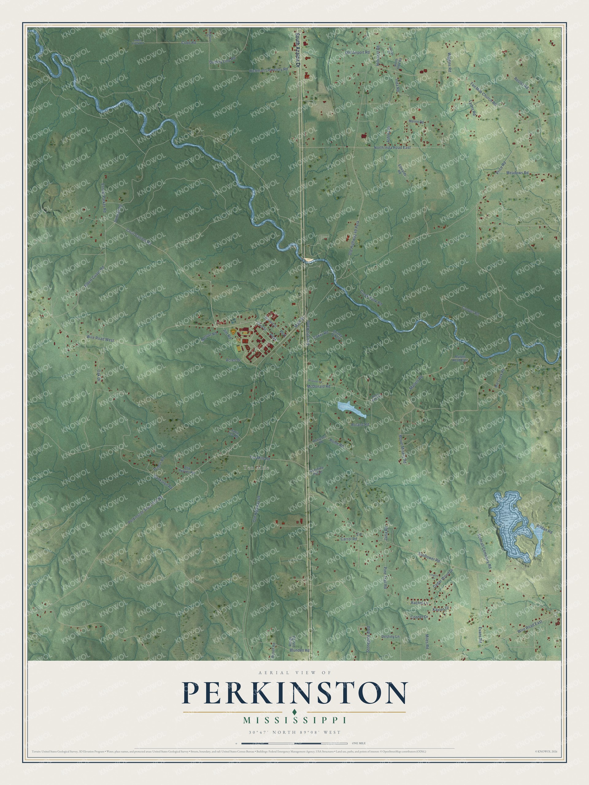
Names on this map
These names are printed on this map.
Places: Ten Mile.
Streets and roads: South Azalea Drive, Wire Road West, Peak, Cecil Daniels Road, Albert Cuave Road, Hickman Cemetery Road, North Inda Road East, Sunflower Road, Old Highway 49, Perkinston Silver Run Road, Price Road, McDonald Road.
More street names, A to Z
Acres Drive, Ashley Drive, Author Road, Bankston Road, Blundell Road, Carrol Road, Cedar Wood Drive, Cobb Road, Coker Road, Conner Drive, Cooper Road, Creek Bank Road, Destiny Lane, Dummy Line Road, East Off Ramp, Edwards Road, Ekv Road, Ernest Parker Road, Evans Road, Herschel Road, Hillcrest Road, Hillsdale Road, Imber Creek Road, Inda Road, Jana Road, Jim Road, Jordan Road, Kaylen Drive, Longcoy Lane, Lyons Road, Main Street, Mallett Road, Mallett Road East, McQueen Road, Meadows Road, Melvin Road, Mertz Bond Road, Miles Road, Mill Creek Road, Mount Misery Road, Nelson Road, North Inda Road, Oak Drive, Old Airport Road, Old Highway 49 Perk, Ollie Reeves Road, Perk, Pine Trail Road, Rachel Lane, Range Line Road, Rester Road, Roland Road, Rome Road, Sadie Lee Road, Second Street, Shirley O'Neal, Stonegate Boulevard, Sumrall Cemetery Road, Sumrall Road, Sunshine Hill Drive, Ten Mile Church Road, Ten Mile Road, Third Street, Wiggins Road, Wire Road East, Woodland Drive, Wynell Road.
See it on a wall
The Perkinston map as a framed print. Swipe for more.


This beautifully detailed map of Perkinston makes an attractive addition to your office, library, or den, and it can even be used to teach children the geography and history of the area. It also makes a great gift for anyone with Perkinston roots. When you’re done exploring, click here to get your copy of the Perkinston map.