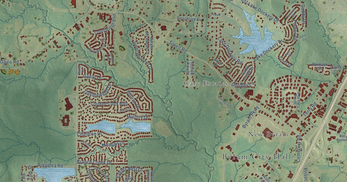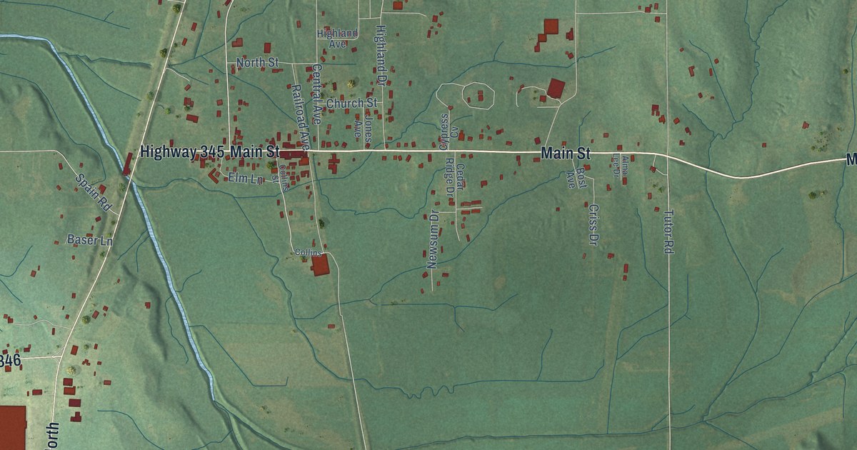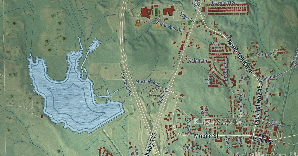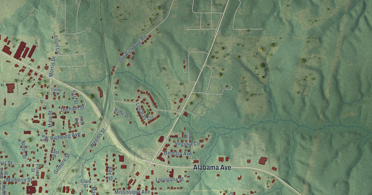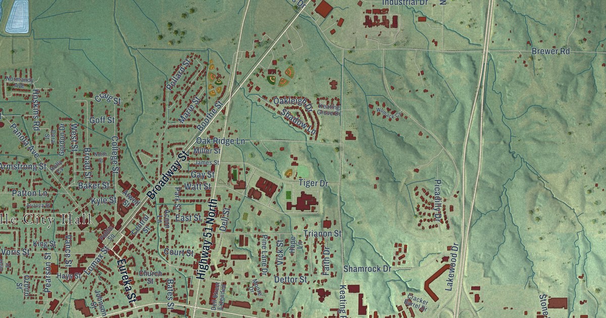
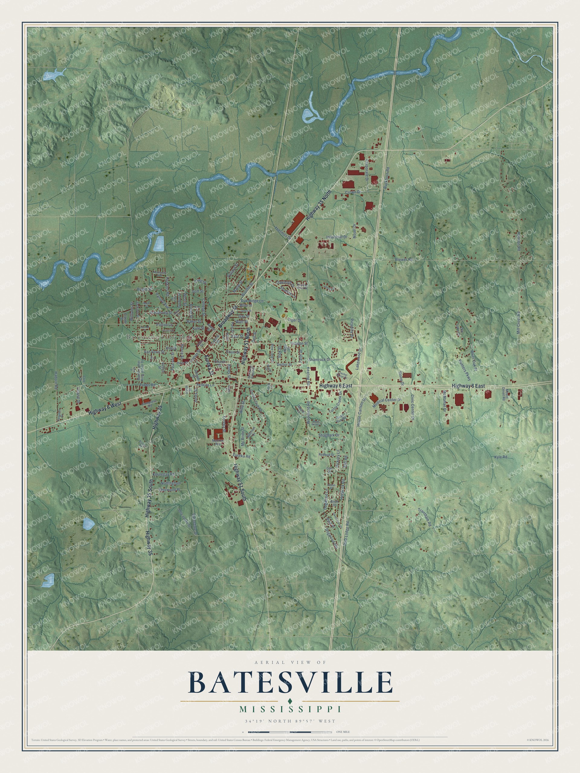
This beautifully detailed map of Batesville, Mississippi was created in 2026 using aerial imagery combined with modern topographical, census, street and landmark data. It’s a one-of-a-kind view of Batesville that combines accurate data with a vintage aesthetic. The map shows every building in its true location, many of the roads carry their names, and the shaded topographic relief shows the shape of the land.
Explore an aerial view of Batesville, Mississippi
On the map you’ll find Batesville City Hall, along with Highway 51 South, Broadway Street, Highway 35 North, Eureka Street, Highway 6 East, Highway 6 West, Highway 51 North, Highway 35, Highway 35 South, Tiger Drive, West Street, and more. If you look closely you can even find your house accurately drawn in its correct location. Zoom in on the preview to look for yours.
Did you know this piece of Batesville, Mississippi history?
From Dunbar Rowland’s 1907 encyclopedia of Mississippi history: "With the advent of the Mississippi & Tennessee railroad (now the Illinois Central), the town of Batesville sprang up in 1855, and it soon absorbed the town of Panola, only one mile distant."
Take a closer look at the Batesville map
Street and place names on the Batesville, Mississippi map
These names are printed on the map of Batesville, Mississippi.
Places: Batesville City Hall.
Streets and roads: Highway 51 South, Broadway Street, Highway 35 North, Eureka Street, Highway 6 East, Highway 6 West, Highway 51 North, Highway 35, Highway 35 South, Tiger Drive, West Street, Barnsdale Drive.
More street names, A to Z
Acorn Lane, Arizona Street, Armstrong Street, Atwell Street, Baker Street, Bates Street, Birch Drive, Boothe Street, Boyd Street, Brazzell Road, Brewer Road, Bright Street, Broad Street, Buckhorn Road, Campbell Street, Central Street, Church Street, Civic Center Drive, Claude Street, Cole Drive, College Street, Compress Road, Corporate Drive, Country Club Road, Court Street, Cracker Barrel Drive, Craig Street, Crown Drive, Dell Street, Dell Street Extended, Dettor Street, Dickey Drive, Dogwood Heights, Dogwood Lane, Dora Street, East Street, Elm Road, Eureka Road, Faith Drive, Gay Street, Goff Street, Gordon Drive, Gore Street, Hadorn Road, Harmon Road, Hays Street, Hemlock Road, Hickory Lane, Hillcrest Drive, Holly Cv, Hope Lane, Hoskins Road, House-Carlson Drive, Hunters Parkway, Industrial Drive, Jackson Street, James Street, Johnson Street, Jolly James Drive, Jones Street, Keating Grove Drive, Keating Road, King Street, Kornegay Road, Kyle Road, Kyle Street, Lakewood Drive, Leland Drive, Leonard Street, Lomax Street, Mackey Avenue, Maple Lane, Marie Street, Martin Luther King Junior Drive, Mc Bride Street, McMahan Drive, Medical Center Drive, Mill Cross Road, Miller Street, Moore Drive, Mount Olivet Road, Normandy Avenue, North Street, Nosef Drive, Nottingham, Oak Drive, Oakleigh Drive, Oak Ridge Lane, Old Lake Cv, Ozbirn Street, Panola Avenue, Park Street, Patton Lane, Pearson Street, Pecan Drive, Perkins Lane, Pettit Street, Picadilly Drive, Pine Lane Drive, Pine Lodge Road, Pine Place, Pollard Street, Public Square, Quail Run Road, Redbud Drive, River Oak Place, Robin Lane, Shadow Lane, Shagbark Drive, Shamrock Drive, Sherwood Place, Smith Street, Stone Drive, Sweet Gum Drive, Thermos Drive, Trantham Road, Trianon Street, Tubbs Road, Turtle Creek Drive, Vance Street, Van Voris Street, Vick Street, Watt Street, Willa Street, Williams Street, Womack Cv, Wood Duck Cv, Woodland Road.
See the Batesville, Mississippi map on a wall
The Batesville map as an 18 x 24 inch print in a black frame.

This beautifully detailed map of Batesville makes an attractive addition to your office, library, or den, and it can even be used to teach children the geography and history of the area. It also makes a great gift for someone who left Batesville and still calls it home. When you’re done exploring, click here to get your copy of the Batesville map.