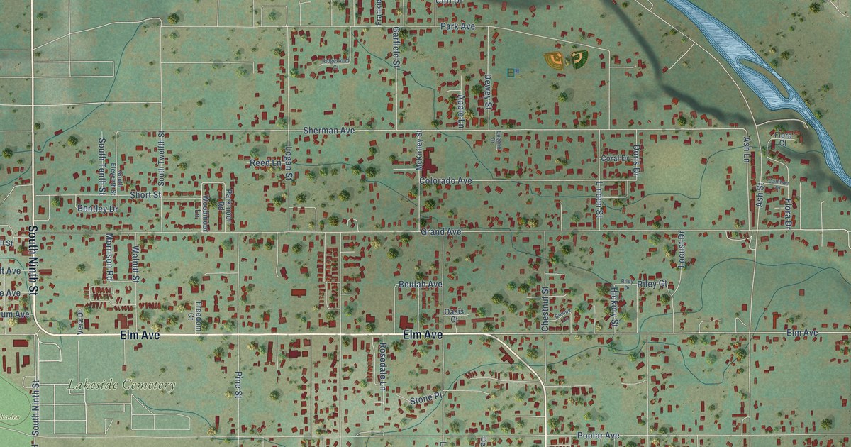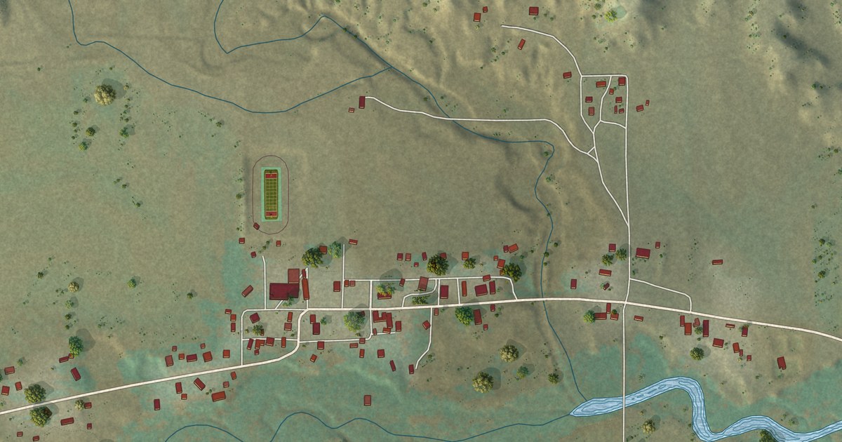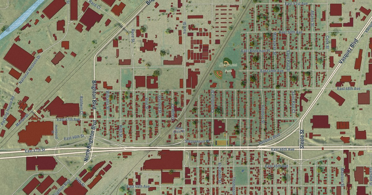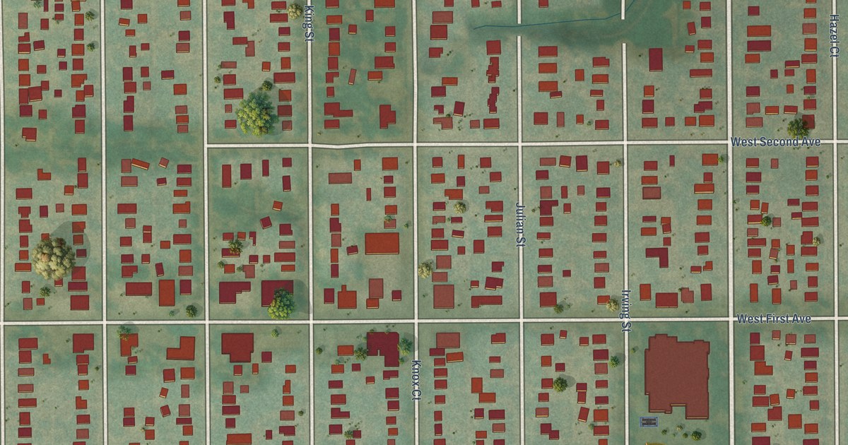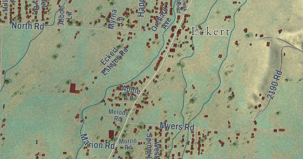
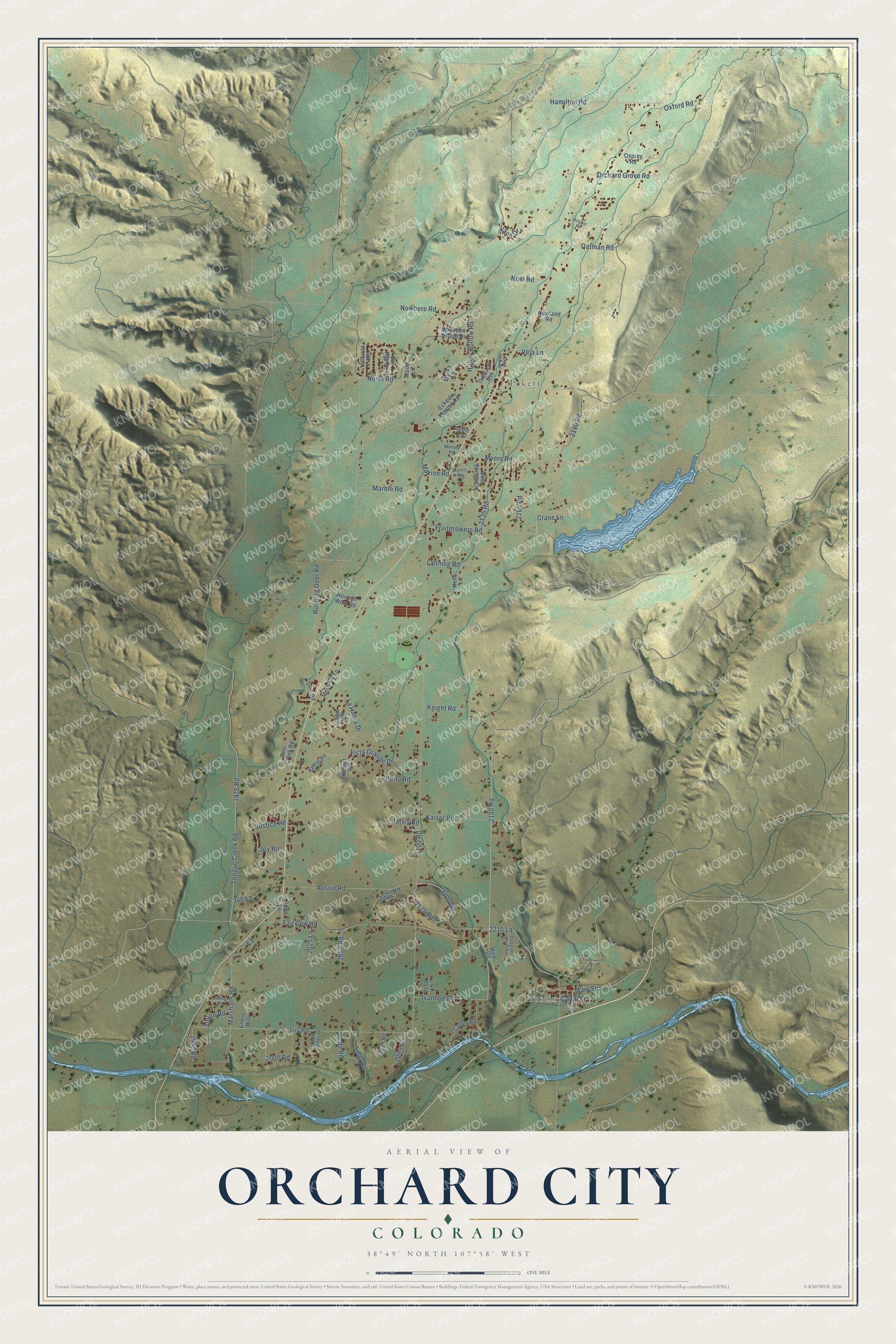
This beautifully detailed map of Orchard City, Colorado was created in 2026 using aerial imagery combined with modern topographical, census, street and landmark data. It’s a one-of-a-kind view of Orchard City that combines accurate data with a vintage aesthetic. The map shows every building in its true location, many of the roads carry their names, and the shaded topographic relief shows the shape of the land.
Explore an aerial view of Orchard City, Colorado
On the map you’ll find Austin, Cory, and Eckert, along with 2150 Road, 2050 Road, 2100 Road, Austin Road, Fairview Road, North Road, Running Deer Road, Iris Road, 2210 Lane, and more. If you look closely you can even find your house accurately drawn in its correct location. Zoom in on the preview to look for yours.
Did you know this piece of Orchard City, Colorado history?
From the National Register of Historic Places: "Well-known to area residents and travelers through Delta County for most of the past century, the First Presbyterian Church of Eckert is one of the most picturesque historic buildings in this region of the state."
Take a closer look at the Orchard City map
Street and place names on the Orchard City, Colorado map
These names are printed on the map of Orchard City, Colorado.
Places: Austin, Cory and Eckert.
Streets and roads: 2150 Road, 2050 Road, 2100 Road, Austin Road, Fairview Road, North Road, Running Deer Road, Iris Road, 2210 Lane, Happy Hollow Road, Tongue Creek Road, Vista Grande Drive.
More street names, A to Z
1950 Road, 1975 Road, 2000 Road, 2010 Lane, 2025 Lane, 2075 Road, 2085 Road, 2095 Road, 2110 Lane, 2125 Road, 2135 Road, 2165 Road, 2190 Road, 2200 Road, 2211 Road, Albion Road, Alboe Lane, Apple Lane, Bobs Road, Canal Street, Coffey Road, Coogans Bluff Road, Crane Lane, Creek Side Road, Deer Creek Road, Del Ray Drive, Eckert Estates Road, Ellens Way, Fox Ridge Drive, Fruitgrowers Road, Hamilton Road, Hice Road, Hillcrest Road, Horizon West Road, Irving Road, Ivanhoe Road, J40 Lane, Jarvis Road, Jay Road, Joy Road, Justice Road, Kaiser Road, Kelly Lane, Keno Road, Kermit Road, Kettle Road, Knight Road, La Habra Drive, Lanning Road, Long Road, Main Street, Marble Road, Marion Road, Marshalls Road, Melody Road, Mesa View Drive, Mesa Vw Lp, Morris Road, Mountain Village Drive, Myers Road, Myrna Lane, Newland Road, Noel Road, Nowhere Road, Oatman Road, October Road, Orchard Avenue, Orchard Grove Road, Osprey Road, Oxford Road, Stell Road, Vaca Drive, Vela Lane, West Spring Circle.
See the Orchard City, Colorado map on a wall
The Orchard City map as an 18 x 24 inch print in a black frame.

This beautifully detailed map of Orchard City makes an attractive addition to your office, library, or den, and it can even be used to teach children the geography and history of the area. It also makes a great gift for someone who left Orchard City and still calls it home. When you’re done exploring, click here to get your copy of the Orchard City map.