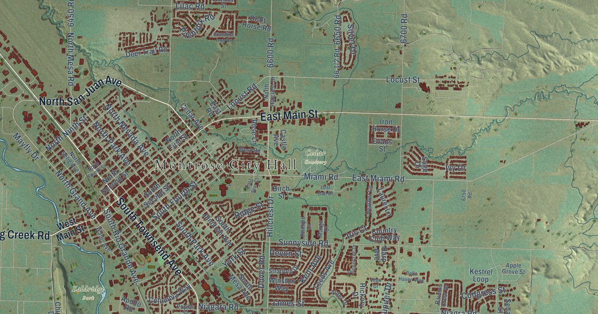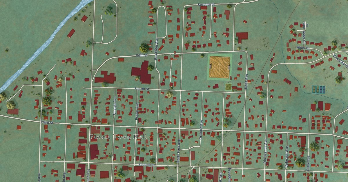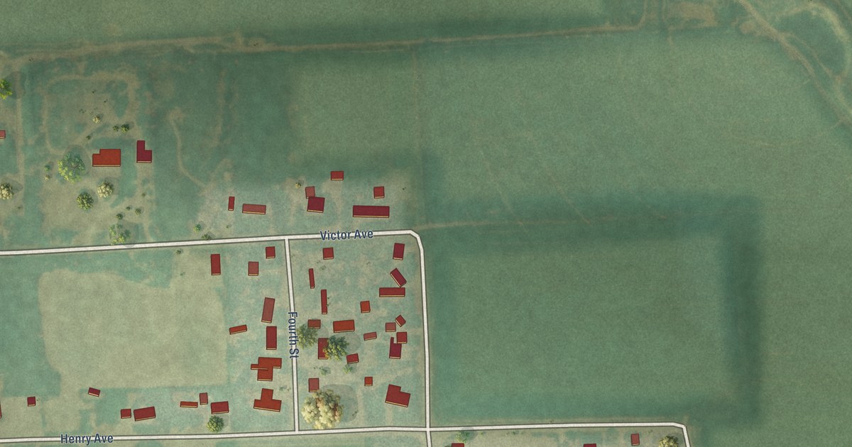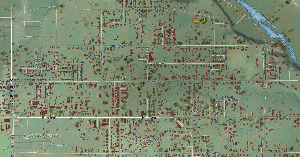
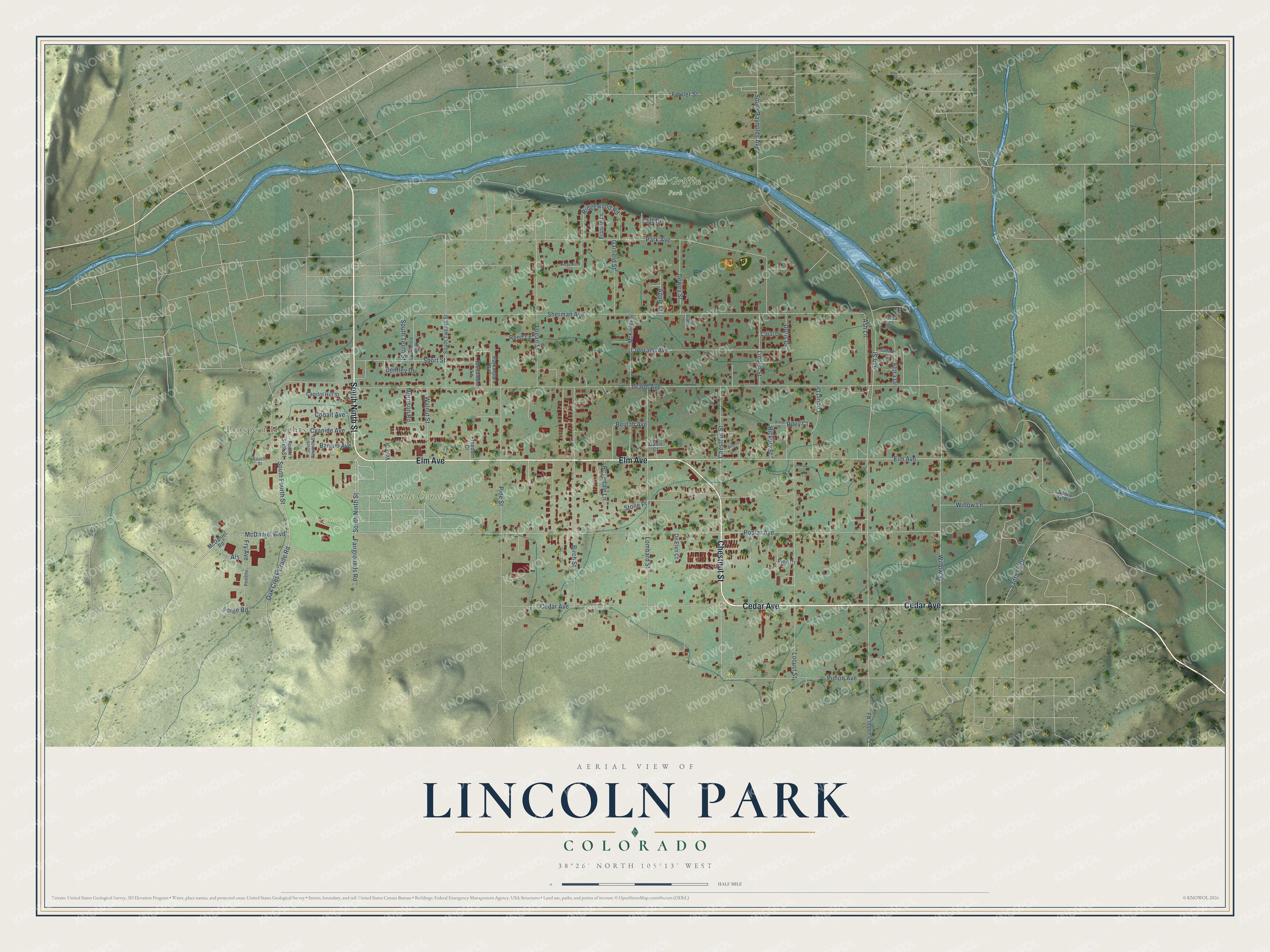
This beautifully detailed map of Lincoln Park, Colorado was created in 2026 using aerial imagery combined with modern topographical, census, street and landmark data. It's a modern aerial view of Lincoln Park in Fremont County, Colorado, that combines modern data with a vintage aesthetic. The roads feature printed names, and if you look closely you can find your exact house accurately shown in its correct location.
Explore an aerial view of Lincoln Park, Colorado
On this map you'll find Prospect Heights, John Griffin Park, Lakeside Cemetery, Royal Gorge Rodeo, South Ninth Street, Cedar Avenue, Elm Avenue, Chestnut Street, Willow Street, Pinion Avenue, Sherman Avenue, Ash Street, and more. Each red shape is a building, so zoom in on the preview and look for yours.
Lincoln Park is a community in Fremont County. The Census Bureau counted 3,934 people here in 2020. Lincoln Park sits about 4 miles northwest of Williamsburg, 4 miles south of Park Center and 5 miles northwest of Rockvale. The map prints the town name in its title panel, with the coordinates below it.
Take a closer look at the Lincoln Park map
Names on this map
These names are printed on this map.
Places: Prospect Heights, John Griffin Park, Lakeside Cemetery and Royal Gorge Rodeo.
Streets and roads: South Ninth Street, Cedar Avenue, Elm Avenue, Chestnut Street, Willow Street, Pinion Avenue, Sherman Avenue, Ash Street, Grand Avenue, Poplar Avenue, South Raynolds Avenue, Locust Street.
More street names, A to Z
Als, Apple Lane, Ash Lane, Barium Avenue, Bentley Drive, Beulah Avenue, Birch Street, Bonnie Lane, Callihan Drive, Capitol Hill Street, Chandler Road, Cliff Drive, Cobalt Avenue, Colorado Avenue, Coral Drive, Cyanide Avenue, De Elen Court, Dewey Street, Doris Drive, Eugene Drive, Fairgrounds Road, Flora Court, Flora Drive, Forge Road, Fourth Street, Fowler Street, Frankie Lane, Freedom Court, Fry Avenue, Garfield Street, Hickory Street, Linden Street, Locust Drive, Logan Street, Lombard Street, McDaniel Boulevard, McDaniel Road, McKinley Street, Morrison Road, Oak Creek Grade Road, Oasis Court, Park Avenue, Parkmoor Road, Pedotto, Pine Street, Reed Lane, Ridgewood Court, Ridgewood Road, Riley Court, Riley Drive, Rine Drive, Rosedale Lane, Santa Fe Drive, Santa Fe Road, Short Street, South Eleventh Street, South Fourth Street, South Seventh Street, South Sixth Street, South Tenth Street, South Twelfth Street, Stone Place, Vera Drive, Walnut Street, Willow Lane, Woodmoor Lane.
See it on a wall
The Lincoln Park map as a framed print. Swipe for more.


Created by KNOWOL in 2026. The buildings are small red shapes, the roads carry their printed names, and shaded relief shows the shape of the land. The title panel reads "AERIAL VIEW OF LINCOLN PARK, COLORADO" with 38°26' NORTH 105°13' WEST.
It looks right in a kitchen, an office or a den, and it's a gift for anyone who grew up in Lincoln Park or moved away. Open the preview and find your street. See sizes and frames for the Lincoln Park map.