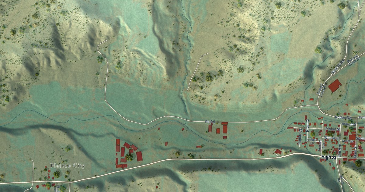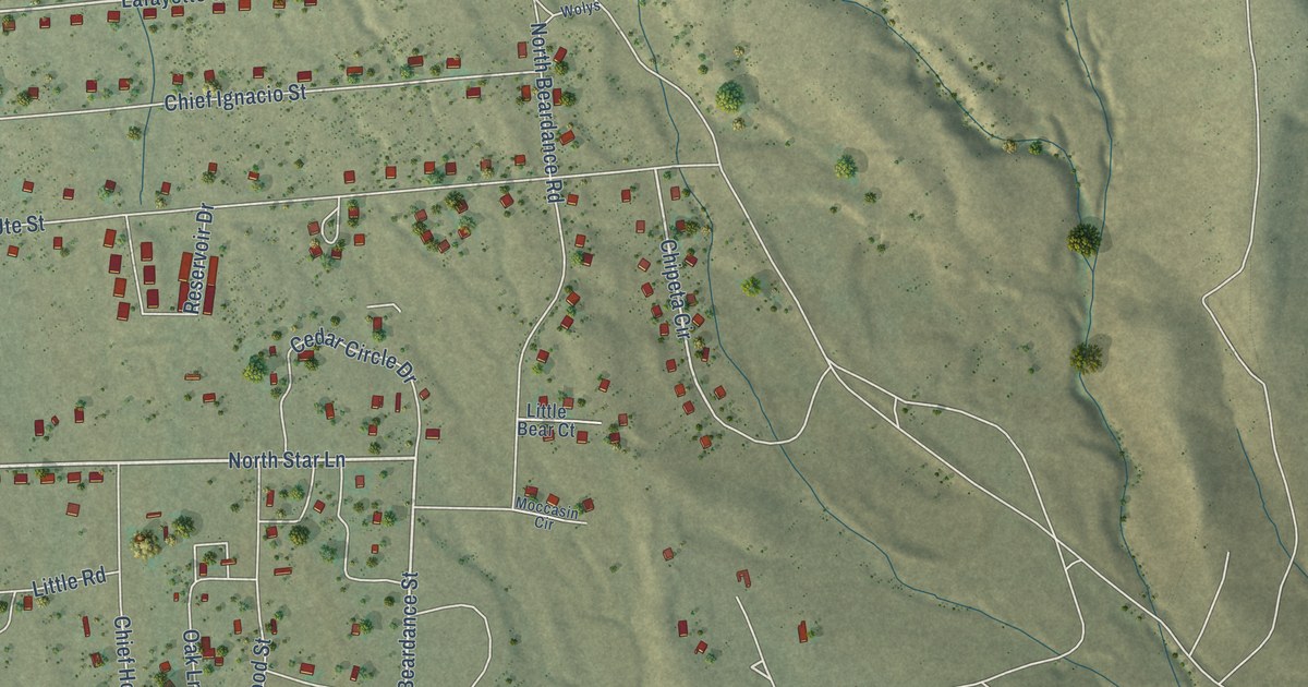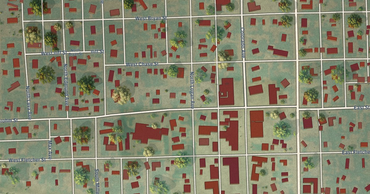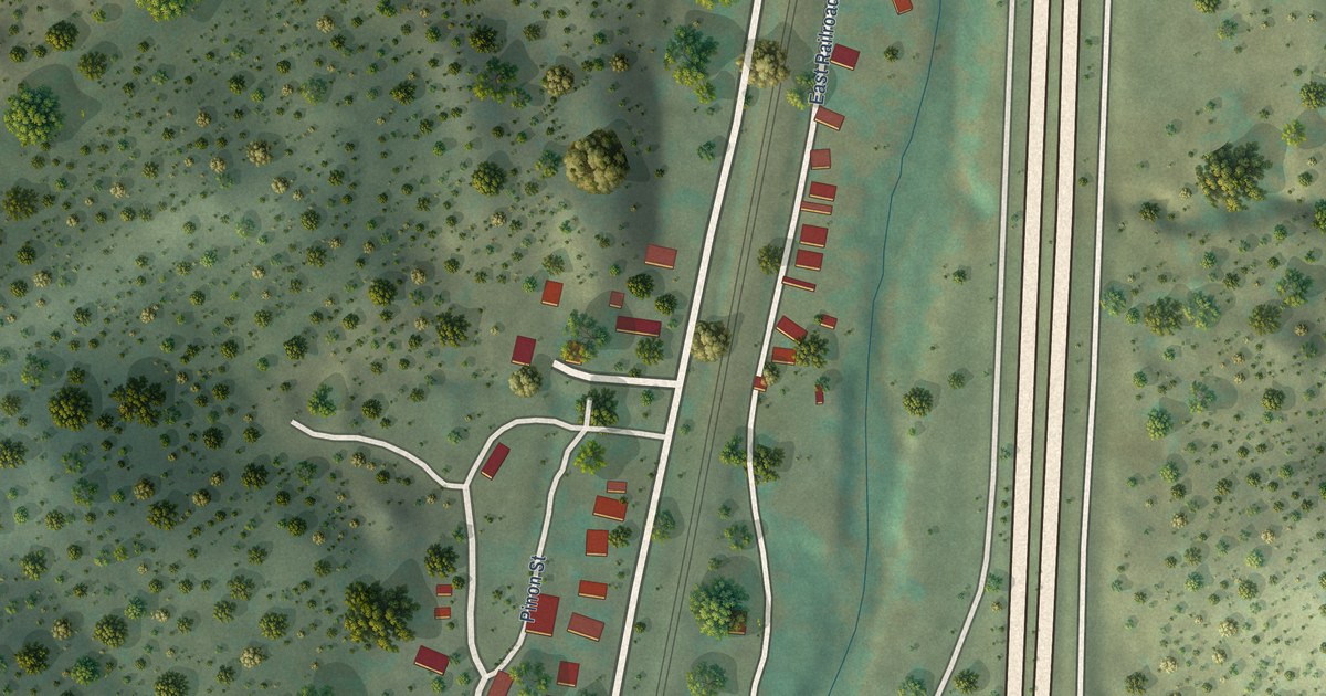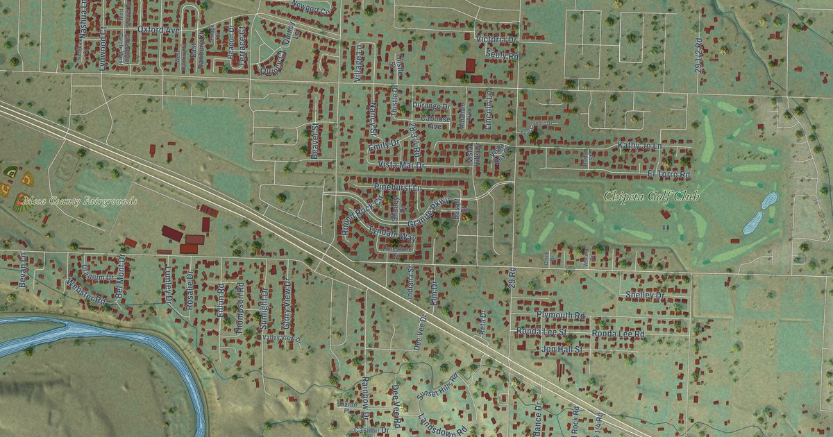
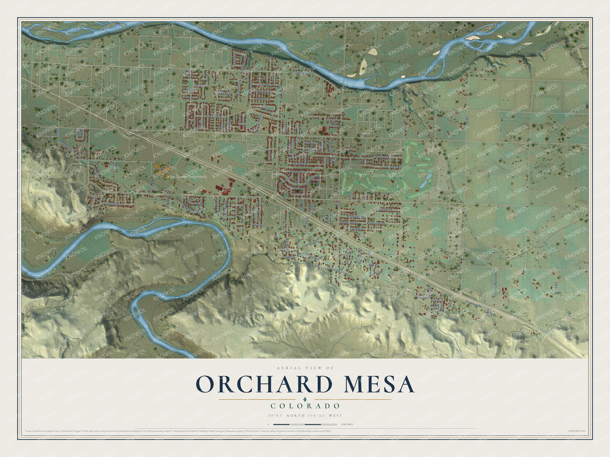
This beautifully detailed map of Orchard Mesa, Colorado was created in 2026 using aerial imagery combined with modern topographical, census, street and landmark data. It's a modern aerial view of Orchard Mesa in Mesa County, Colorado, that combines modern data with a vintage aesthetic. The roads feature printed names, and if you look closely you can find your exact house accurately shown in its correct location.
Explore an aerial view of Orchard Mesa, Colorado
On this map you'll find Mesa County Fairgrounds, Chipeta Golf Club, Edlun Road, Nashua Lane, Pinehurst Lane, Tyndale Way, Frontage Road, Unaweep Avenue, 29 Road, Oxford Avenue, Granite Parkway, 30 Road, and more. Each red shape is a building, so zoom in on the preview and look for yours.
Orchard Mesa has a story worth telling. Orchard Mesa grew into one of the most concentrated peach districts in the United States once pumping systems lifted irrigation water from the Colorado River onto the mesa. The mesa was also known as one of the most frost-free areas. Grand Valley irrigation began in 1882 with simple gravity canals from the Colorado River, and Western Slope fruit went on to win prizes all over the country. That's from the CSU Western Colorado Research Center.
Orchard Mesa is a community in Mesa County. The Census Bureau counted 6,688 people here in 2020.
Take a closer look at the Orchard Mesa map
Names on this map
These names are printed on this map.
Places: Mesa County Fairgrounds and Chipeta Golf Club.
Streets and roads: Edlun Road, Nashua Lane, Pinehurst Lane, Tyndale Way, Frontage Road, Unaweep Avenue, 29 Road, Oxford Avenue, Granite Parkway, 30 Road, Kathy Jo Lane, 27 Road.
More street names, A to Z
28 Road, Abraham Avenue, Arlington Drive, Basalt Street, Beacon Drive, Beaver Street, Bel Mont Drive, Bevan Lane, Boston Lane, Burns Drive, Caboose Avenue, Carriage Court, Casimir Drive, Chico Drive, Collum Lane, Concord Lane, Coulson Drive, Craig Street, Dartmouth Lane, Dee Vee Drive, Dee Vee Road, Desert Court, Dry Creek Road, Durango Drive, East Danbury Court, Elm Drive, El Torro Road, Emily Drive, Four Corners Drive, Gigax Lane, Glory View Drive, Gloucester Circle West, Hartford Avenue, Hill Drive, Huffer Lane, Indiana Street, Jon Hall Street, Kava Way, Kemae Court, Landsdown Road, Larry Drive, Lexington Court, Lexington Lane, Limestone Circle, Lincoln Lane, Linden Avenue, Lumley Drive, Lyle Drive, Lynwood Court, Lynwood Street, Mayku Way, Meeker Street, Mesa View Street, Milo Court, Milo Drive, Mizelle Drive, Monroe Court, Monroe Lane, Nancy Street, Nashua Court, Newport Circle, Plymouth Road, Quincy Court, Quincy Lane, Radan Street, Rainbow Drive, Red Rock Road, Reta Drive, Rincon Drive, Ronda Lee Road, Ronda Lee Street, Rosalie Drive, Round Rock Circle, Scott Street, Seely Road, Sharon Place, Shelley Drive, Shoney Drive, Sierra Vista Road, Sundance Drive, Sunlight Drive, Sunridge Road, Sunset Hills Road, Talbott Drive, Terrace Court, Thistle Drive, Thistle Street, Thompson Road, Tularosa Ranch Road, Twyman Drive, Uranium Drive, Valley View Drive, Ventura Drive, Victoria Drive, Village Lane, Vista Hills Drive, Vista Mar Drive, Vista Rey Court, Webster Road, West Danbury Court, West Hanover Circle, Whitehead Drive, Woodly Court.
See it on a wall
The Orchard Mesa map as a framed print. Swipe for more.


Created by KNOWOL in 2026. The buildings are small red shapes, the roads carry their printed names, and shaded relief shows the shape of the land. The title panel reads "AERIAL VIEW OF ORCHARD MESA, COLORADO" with 39°03' NORTH 108°32' WEST.
It looks right in a kitchen, an office or a den, and it's a gift for anyone who grew up in Orchard Mesa or moved away. Open the preview and find your street. See sizes and frames for the Orchard Mesa map.