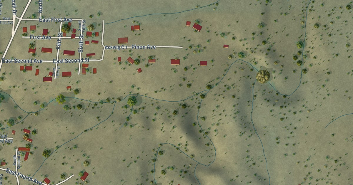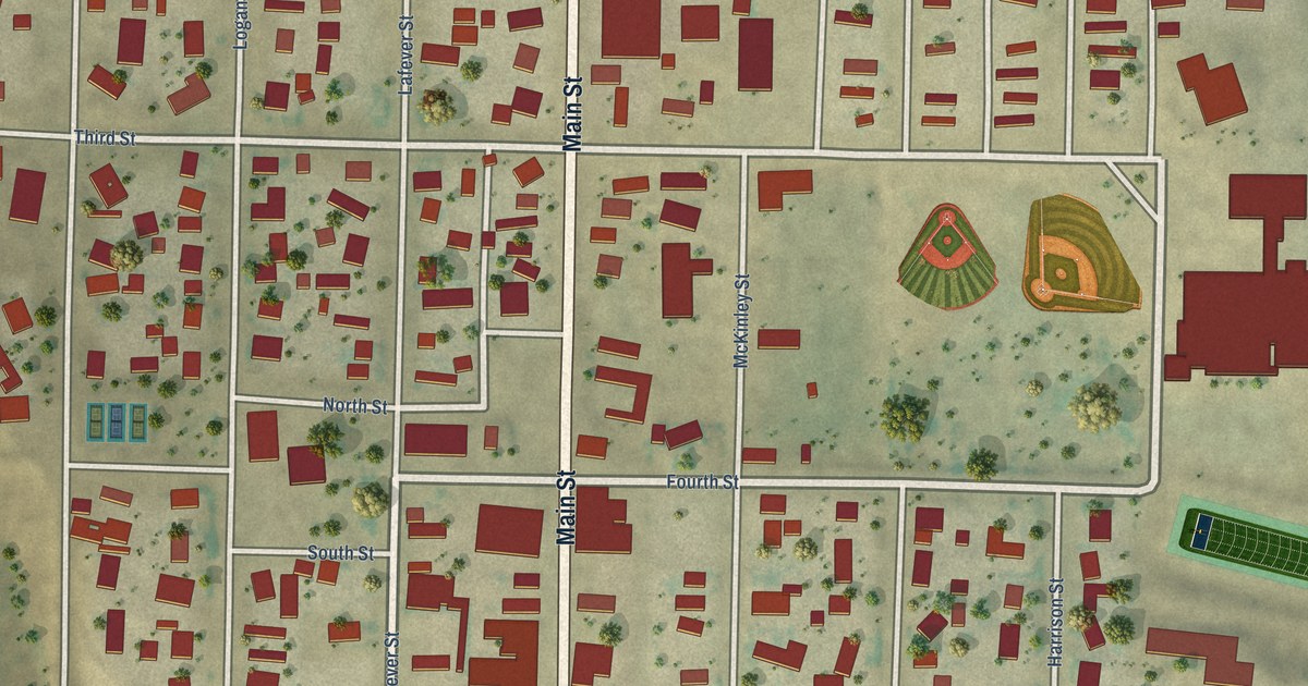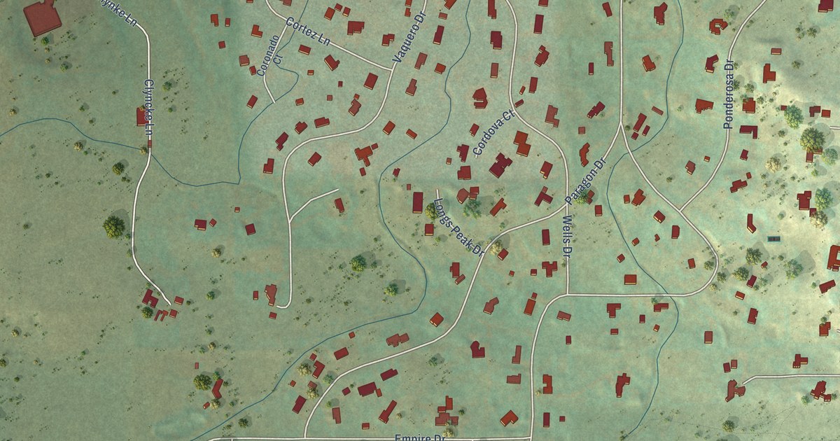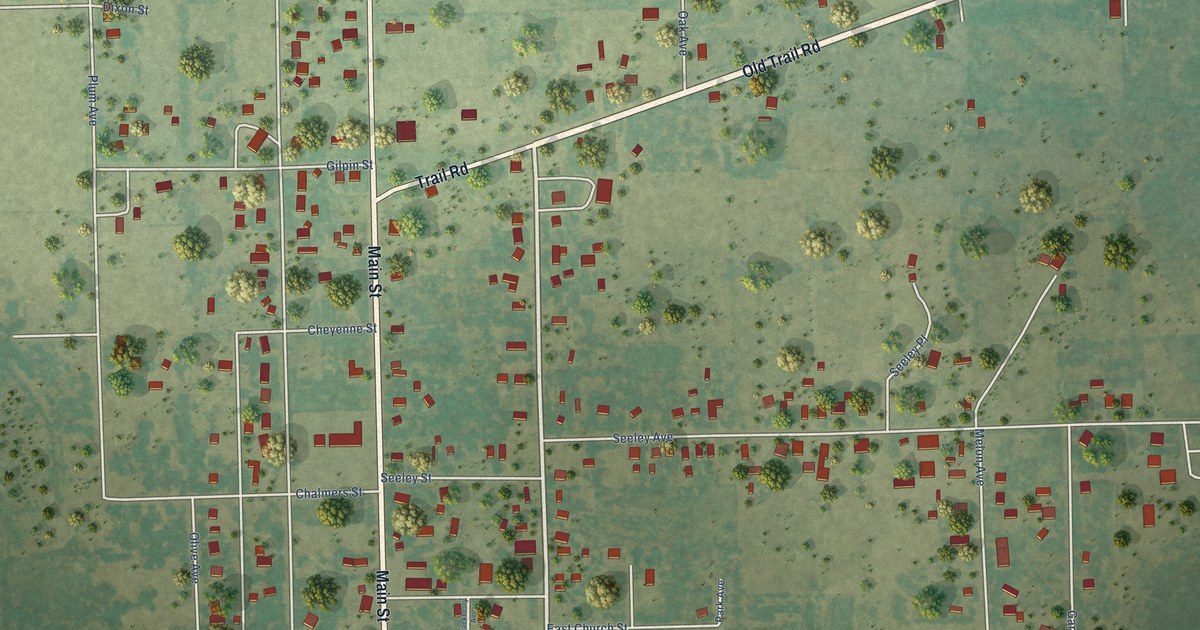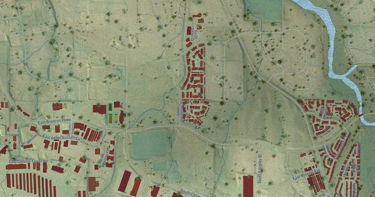
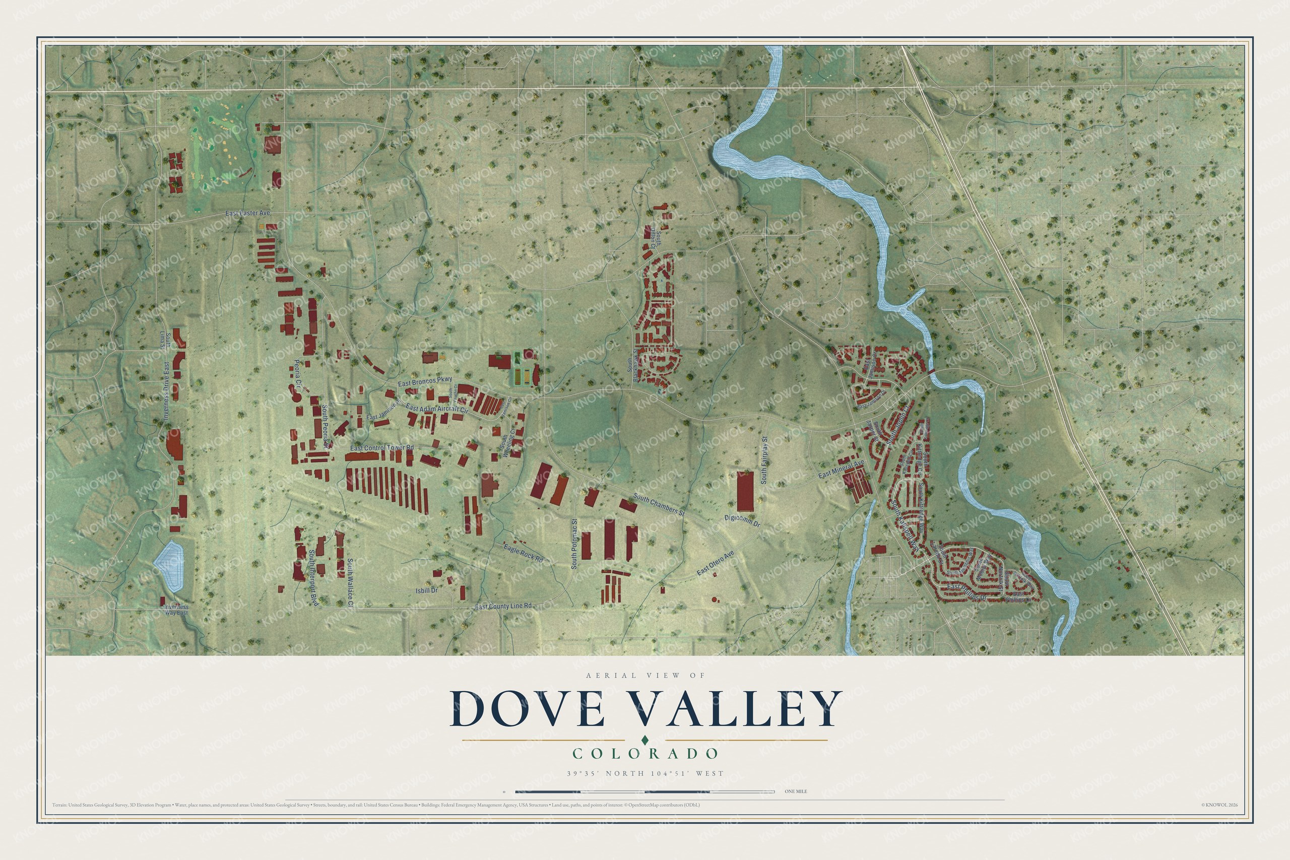
This beautifully detailed map of Dove Valley, Colorado was created in 2026 using aerial imagery combined with modern topographical, census, street and landmark data. It's a modern aerial view of Dove Valley in Arapahoe County, Colorado, that combines modern data with a vintage aesthetic. The roads feature printed names, and if you look closely you can find your exact house accurately shown in its correct location.
Explore an aerial view of Dove Valley, Colorado
On this map you'll find East Otero Avenue, South Kalispell Way, East Phillips Drive, East County Line Road, East Broncos Parkway, South Peoria Street, South Potomac Street, South Chambers Street, East Control Tower Road, South Fairplay Street, East Adam Aircraft Circle, Isbill Drive, and more. Each red shape is a building, so zoom in on the preview and look for yours.
Dove Valley has a story worth telling. The Denver Broncos held their first training camp at their Dove Valley headquarters in 2003, after 21 summers at the University of Northern Colorado in Greeley. On the first day a wild windstorm blew away the team’s 13-year-old practice bubble, but practice went on. By 2015 the hillside by the practice fields seated up to 5,000 fans, up from a limit of 500 a session in that first camp. That's from the Denver Broncos.
Dove Valley is a community in Arapahoe County. The Census Bureau counted 5,640 people here in 2020.
Take a closer look at the Dove Valley map
Names on this map
These names are printed on this map.
Streets and roads: East Otero Avenue, South Kalispell Way, East Phillips Drive, East County Line Road, East Broncos Parkway, South Peoria Street, South Potomac Street, South Chambers Street, Inverness Drive East, East Control Tower Road, South Fairplay Street, East Adam Aircraft Circle.
More street names, A to Z
Digicomm Drive, Eagle Rock Road, East Easter Avenue, East Jamison Circle, East Jamison Court, East Jamison Drive, East Jamison Place, East Mineral Avenue, East Phillips Lane, Inverness Way East, Isbill Drive, Peoria Circle, South Blackhawk Street, South Dillon Court, South Interport Boulevard, South Jasper Street, South Joplin Court, South Kalispell Circle, South Kittredge Circle, South Kittredge Court, South Kittredge Way, South Laredo Court, South Lima Street, South Memphis Way, South Mobile Way, South Norfolk Street, South Norfolk Way, South Vaughn Court, South Wallace Court, South Wheeling Court.
See it on a wall
The Dove Valley map as a framed print. Swipe for more.


Created by KNOWOL in 2026. The buildings are small red shapes, the roads carry their printed names, and shaded relief shows the shape of the land. The title panel reads "AERIAL VIEW OF DOVE VALLEY, COLORADO" with 39°35' NORTH 104°51' WEST.
It looks right in a kitchen, an office or a den, and it's a gift for anyone who grew up in Dove Valley or moved away. Open the preview and find your street. See sizes and frames for the Dove Valley map.