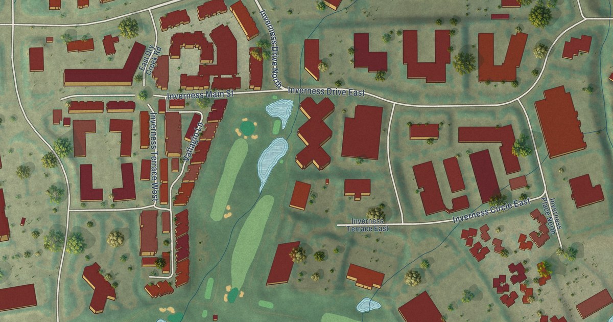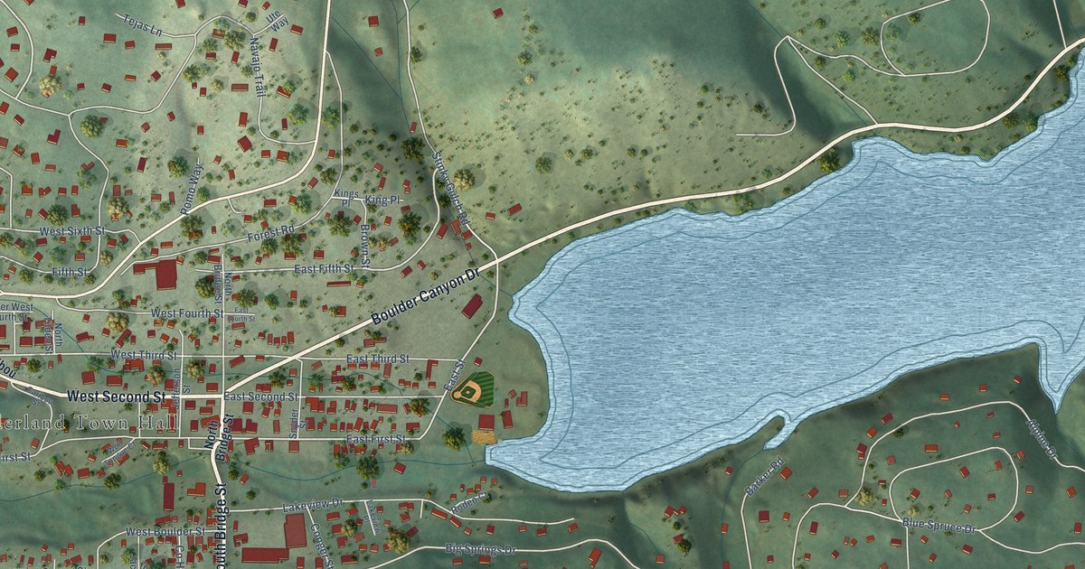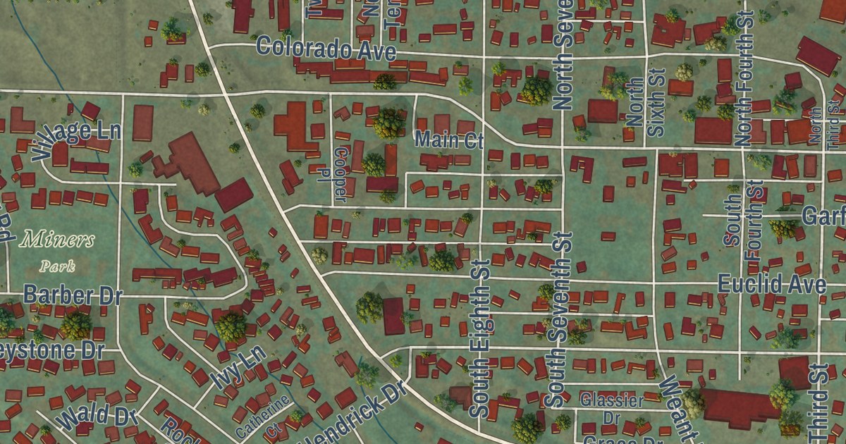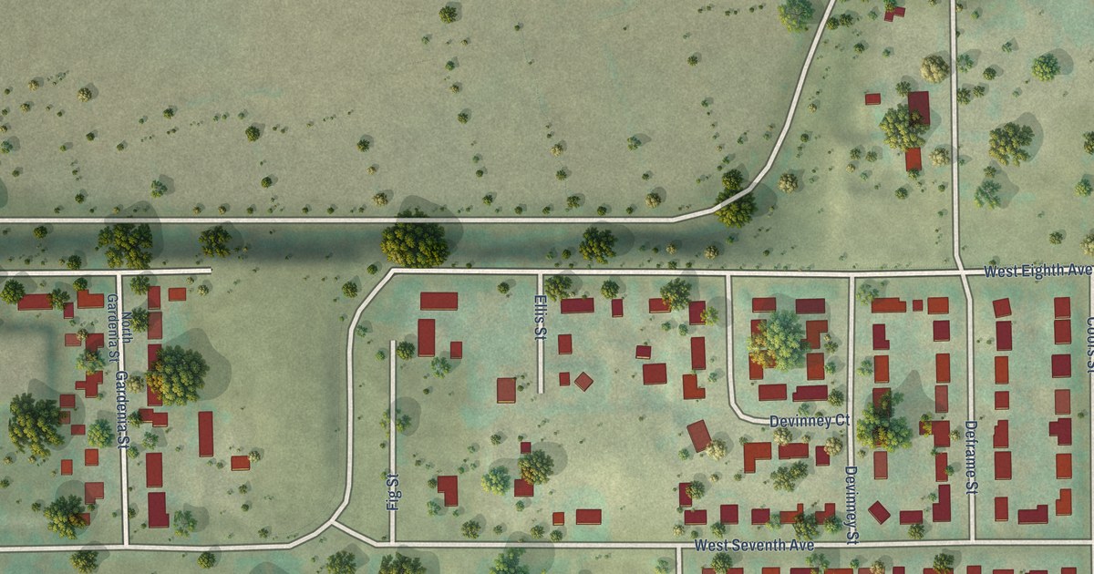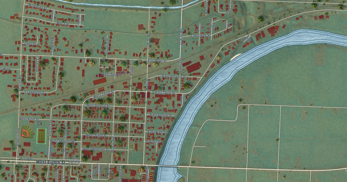
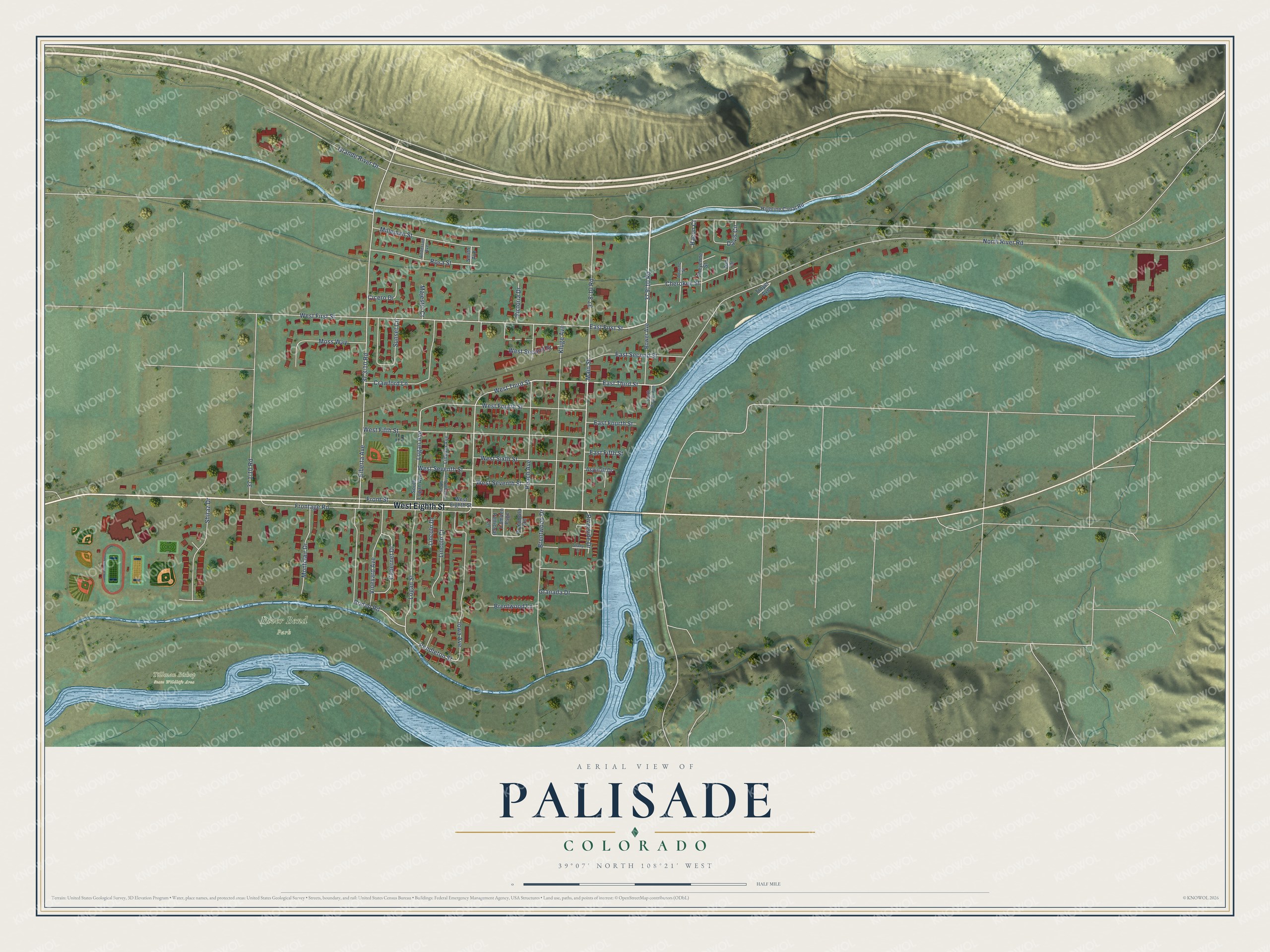
This beautifully detailed map of Palisade, Colorado was created in 2026 using aerial imagery combined with modern topographical, census, street and landmark data. It’s a one-of-a-kind view of Palisade that combines accurate data with a vintage aesthetic. The map shows every building in its true location, many of the roads carry their names, and the shaded topographic relief shows the shape of the land.
Explore an aerial view of Palisade, Colorado
On the map you’ll find River Bend Park and Tillman Bishop State Wildlife Area, along with West Eighth Street, 37 9/10 Road, East First Street, Main Street, East Third Street, West Third Street, Iowa Avenue, Logan Avenue, Pendleton Street, Rodeo Road, and more. If you look closely you can even find your house accurately drawn in its correct location. Zoom in on the preview to look for yours.
Did you know this piece of Palisade, Colorado history?
From the Colorado Encyclopedia: "Before irrigation ditches were dug near the turn of the century, J. L. Oliver and William and Frank Berger had to haul barrels of Colorado River water to their orchards. Palisade, named for the towering cliffs that protected its prosperous orchards, was founded in 1895 and incorporated in 1904."
Take a closer look at the Palisade map
Street and place names on the Palisade, Colorado map
These names are printed on the map of Palisade, Colorado.
Places: River Bend Park and Tillman Bishop State Wildlife Area.
Streets and roads: West Eighth Street, East First Street, Main Street, East Third Street, West Third Street, Iowa Avenue, Logan Avenue, Pendleton Street, Rodeo Road, North River Road, Elberta Avenue, Frontage Road.
More street names, A to Z
Anderson Avenue, Apache Street, Aspinall Drive, Bacon Court, Bower Avenue, Brentwood Drive, Brentwood Lane, Cabernet Drive, Camden Psge, Cherokee Street, Cheyenne Street, Cicero Drive, Crawford Lane, Davis Circle, East Fifth Street, East Fourth Street, East Second Street, Front Street, Granada Drive, Grande River Drive, Highline Canal Road, Kluge Avenue, Lincoln Avenue, Lincoln Court, Lincoln Drive, Logan Street, Majestic Court, Milleman Street, Montclair Drive, Moss Way, Peach Avenue, Petticoat Lane, Portobello Road, Riverside Drive, Rosa Street, Shady Lane, Shiraz Drive, Smith Avenue, South Bower Avenue, South Lincoln Avenue, South Logan Avenue, Sunset Circle, Troyer Avenue, Victoria Drive, Vineyard Avenue, West Fifth Street, West First Street, West Fourth Street, West Second Street, West Seventh Street, West Sixth Street, Zuni Drive.
See the Palisade, Colorado map on a wall
The Palisade map as an 18 x 24 inch print in a black frame.

This beautifully detailed map of Palisade makes an attractive addition to your office, library, or den, and it can even be used to teach children the geography and history of the area. It also makes a great gift for anyone with Palisade roots. When you’re done exploring, click here to get your copy of the Palisade map.