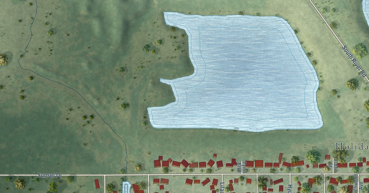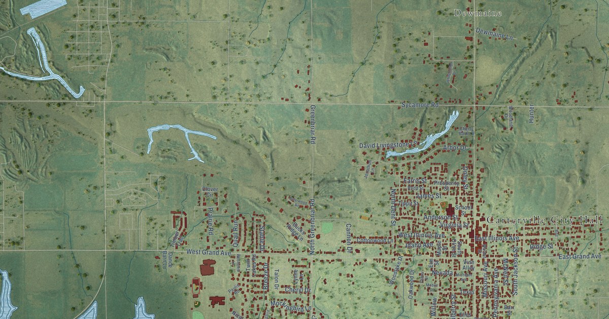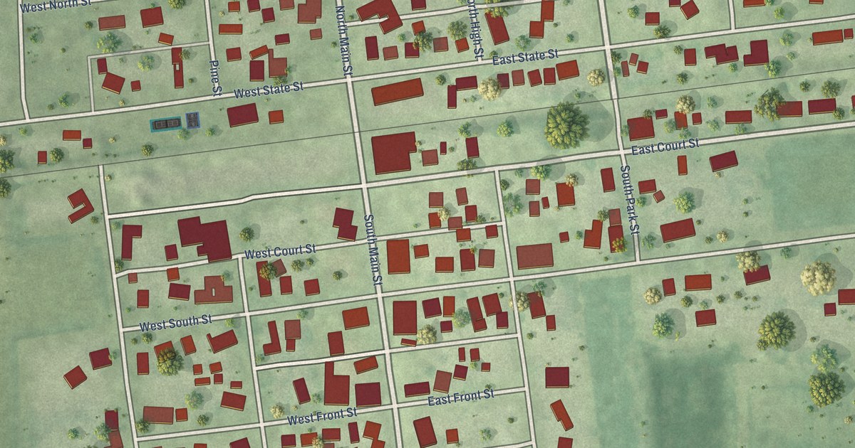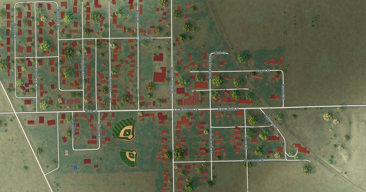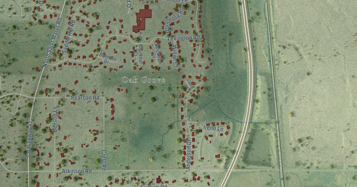
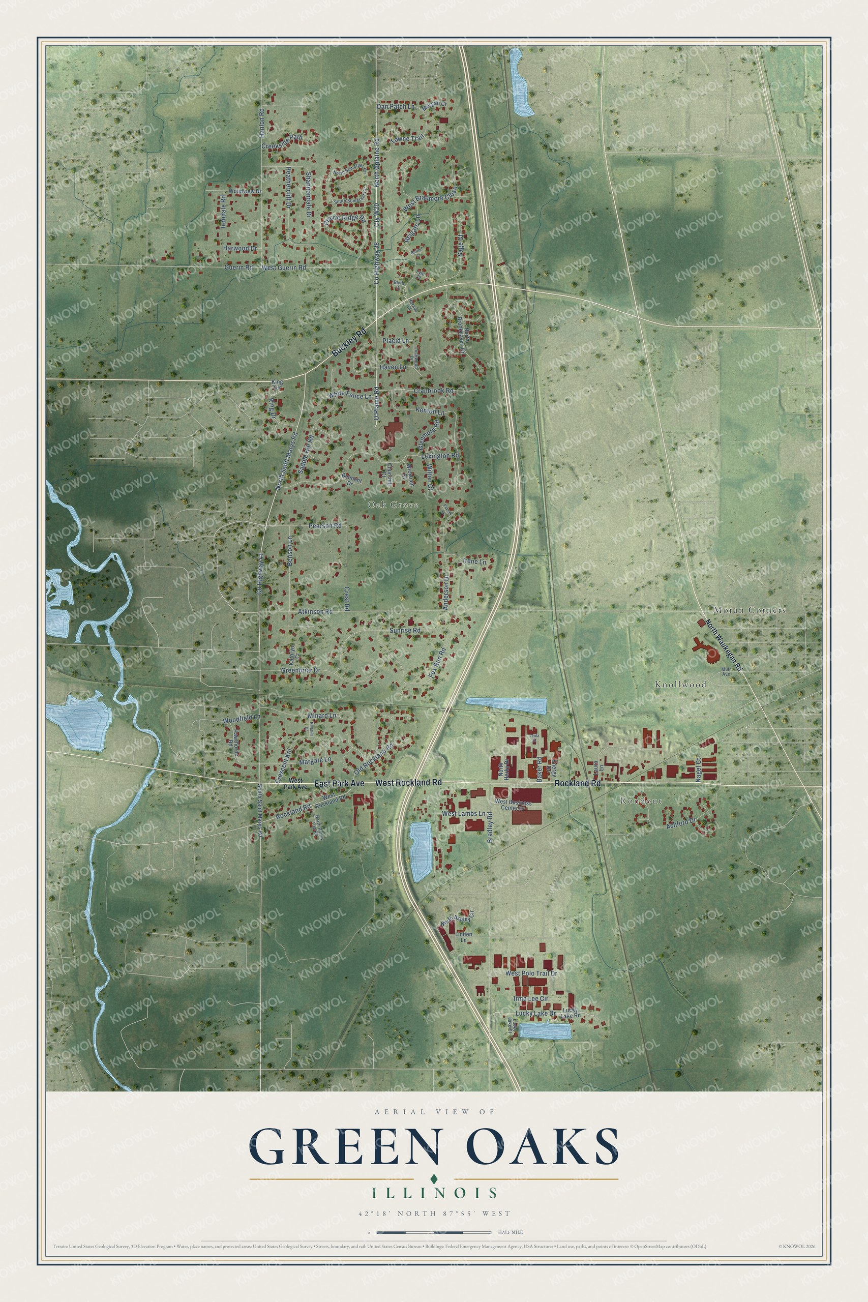
This beautifully detailed map of Green Oaks, Illinois was created in 2026 using aerial imagery combined with modern topographical, census, street and landmark data. It's a modern aerial view of Green Oaks in Lake County, Illinois, that combines modern data with a vintage aesthetic. The roads feature printed names, and if you look closely you can find your exact house accurately shown in its correct location.
Explore an aerial view of Green Oaks, Illinois
On this map you'll find Rondout, Oak Grove, Knollwood, Moran Corners, West Rockland Road, Rockland Road, Buckley Road, East Park Avenue, Cty W20, Co Highway 38, North Oplaine Road, O'Plaine Road, and more. Each red shape is a building, so zoom in on the preview and look for yours.
Green Oaks is a village in Lake County. The Census Bureau counted 4,128 people here in 2020. The map prints the town name in its title panel, with the coordinates below it.
Take a closer look at the Green Oaks map
Names on this map
These names are printed on this map.
Places: Rondout, Oak Grove, Knollwood and Moran Corners.
Streets and roads: West Rockland Road, Rockland Road, Buckley Road, East Park Avenue, Cty W20, County Highway 38, North Oplaine Road, O'Plaine Road, North Saint Marys Road, County Highway 41, Lucky Lake Drive, Towne Trail.
More street names, A to Z
Anderson Drive, Ashford Drive, Atkinson Road, Baker Road, Belmont Drive, Benson Lane, Blyth Court, Bradley Road, Burton Court, Churchill Court, Cranbrook Road, Creekside Path, Crescent Knl, Crest Road, Dan Patch Lane, Energy Drive, Fox Run Road, Glenmore Road, Greenbriar Drive, Guerin Road, Hanlon Road, Harwood Drive, Haven Lane, Hawthorne Road, Heathercliff Drive, Horace Court, Irene Lane, Irma Lee Circle, Irondale Road, Kathryn Court, Kenton Lane, King Circle, King Drive, Laura Lane, Leola Drive, Lexington Road, Linden Lane, Lockwood Drive, Lucky Lake Court, Lucky Lake Road, Lyle Court, Margate Lane, Minard Lane, Morgan Court, Muir Avenue, Nagel Court, North Ashley Circle, North Brookhaven Drive, North Herky Drive, North Rocky Top Road, North Somerset Circle, North Waukegan Road, Old Rockland Road, Palmer Lane, Parkhill Drive, Pearson Road, Placid Lane, Prairie Ridge Road, Reigate Lane, Saddle Hill Road, Sage Court, Shannondale Drive, South Saint Marys Road, South Somerset Circle, Sunrise Road, West Braemore Close, West Business Center Drive, West Guerin Road, West Lambs Lane, West Park Avenue, West Polo Trail Drive, White Fence Lane, Wickham Court, Wilton Court, Woodfield Lane, Woodview Drive.
Created by KNOWOL in 2026. The buildings are small red shapes, the roads carry their printed names, and shaded relief shows the shape of the land. The title panel reads "AERIAL VIEW OF GREEN OAKS ILLINOIS" with 42°18' NORTH 87°55' WEST.
Hang it in the hallway, the office or the cabin, or give it to someone who left Green Oaks and still calls it home. Open the preview and look for a street you know. See sizes and frames for the Green Oaks map.