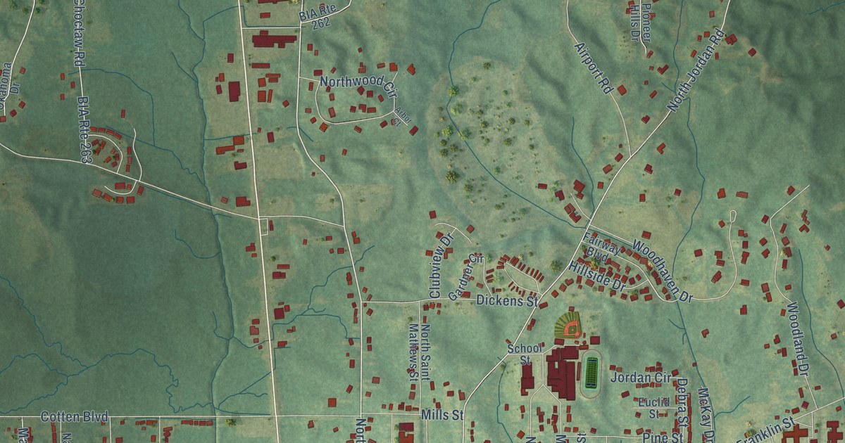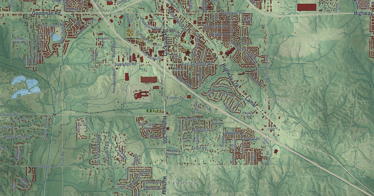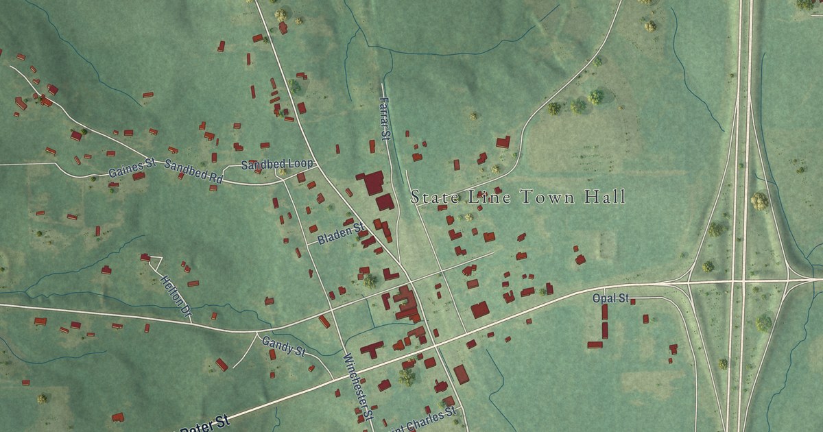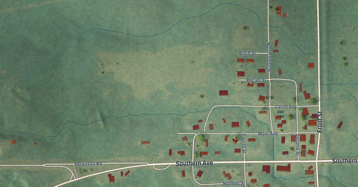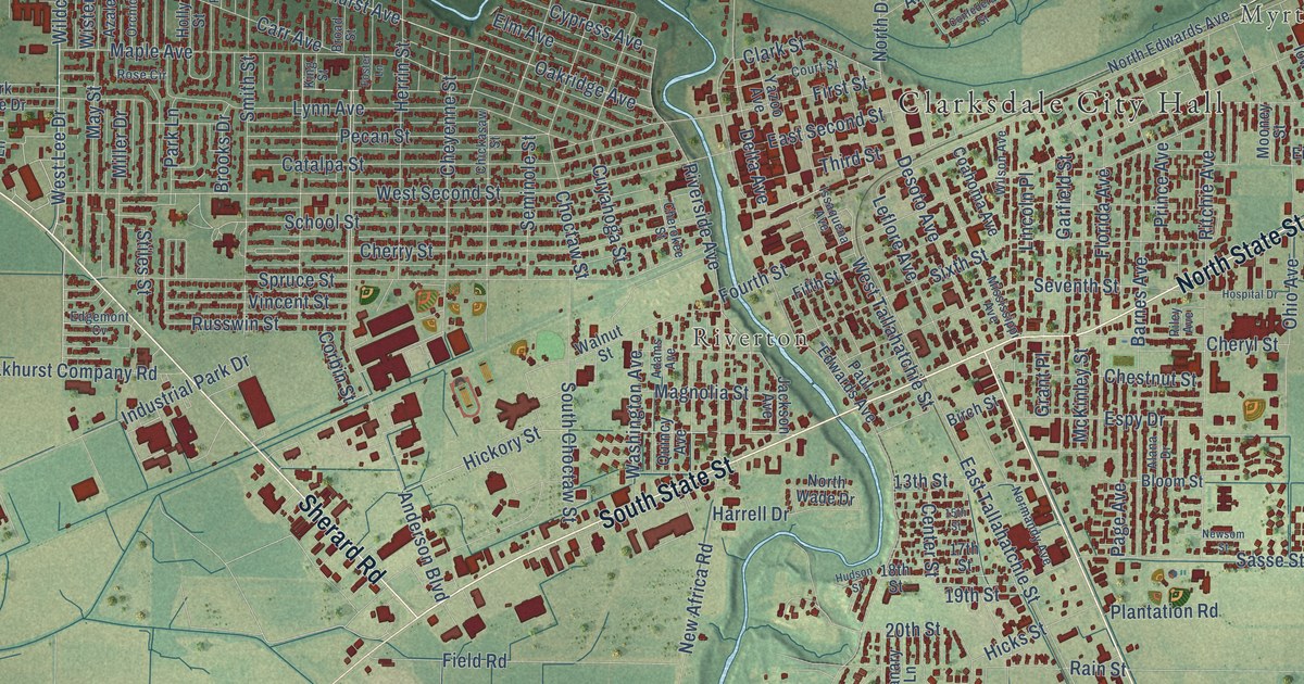
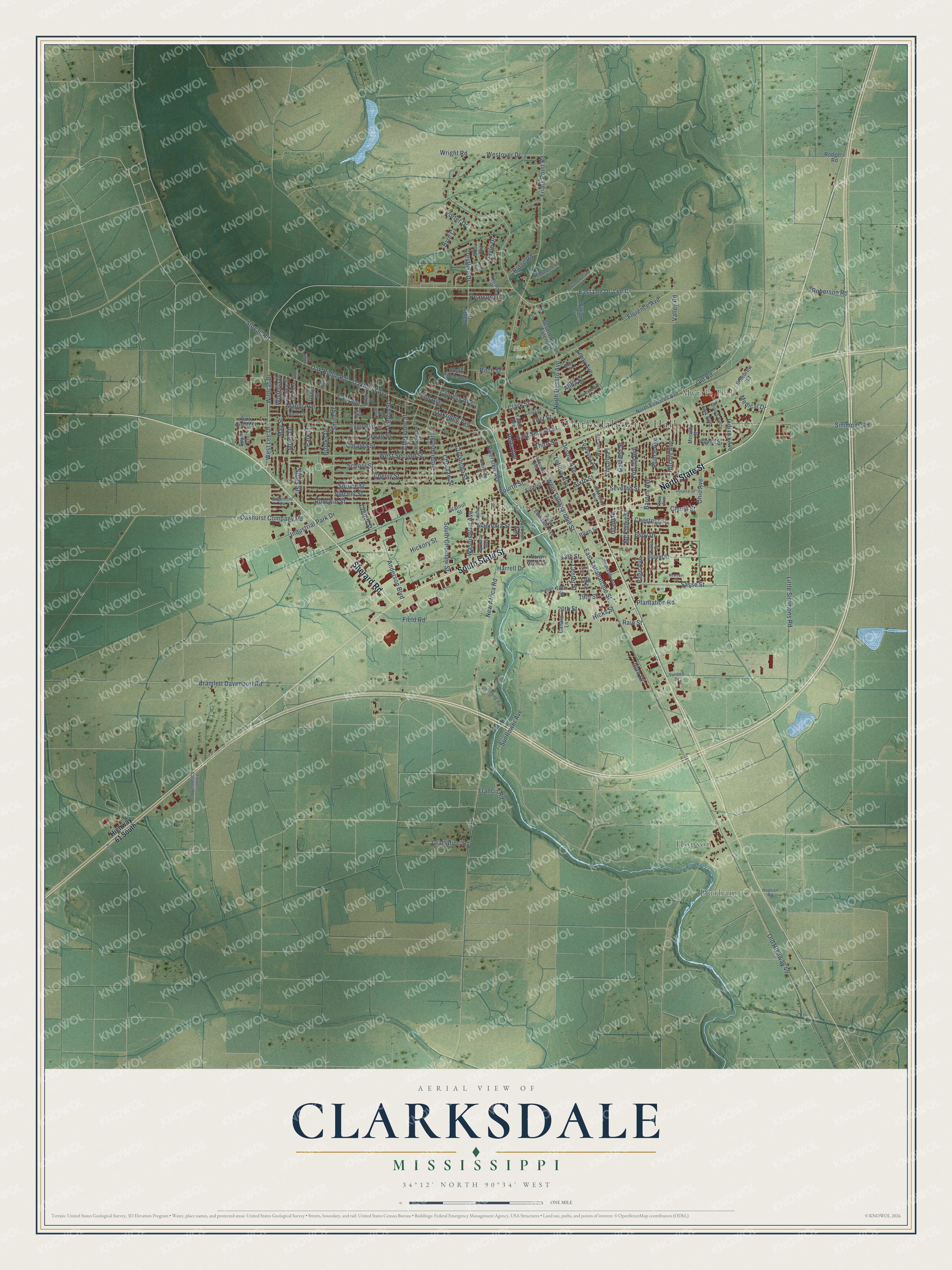
This beautifully detailed map of Clarksdale, Mississippi was created in 2026 using aerial imagery combined with modern topographical, census, street and landmark data. It’s a one-of-a-kind view of Clarksdale that combines accurate data with a vintage aesthetic. The map shows every building in its true location, many of the roads carry their names, and the shaded topographic relief shows the shape of the land.
Explore an aerial view of Clarksdale, Mississippi
On the map you’ll find Clarksdale City Hall, Durham, Hopson, Myrtle Hall, Riverton, and Nosef Park, along with Sherard Road, South State Street, North State Street, Old Road, Lee Drive, East Lee Drive, and more. If you look closely you can even find your house accurately drawn in its correct location. Zoom in on the preview to look for yours.
Did you know this piece of Clarksdale, Mississippi history?
From Mississippiencyclopedia.org: "Charlie Conerly, a football star for the University of Mississippi and the New York Giants, was born in Clarksdale in 1921."
Take a closer look at the Clarksdale map
Street and place names on the Clarksdale, Mississippi map
These names are printed on the map of Clarksdale, Mississippi.
Places: Clarksdale City Hall, Durham, Hopson, Myrtle Hall, Riverton and Nosef Park.
Streets and roads: Sherard Road, South State Street, North State Street, Old Road, Lee Drive, East Lee Drive, Anderson Boulevard, Westover Drive, Wildcat Drive, West Lee Drive, Friars Point Road, First Street.
More street names, A to Z
13th Street, 15th Street, 17th Street, 18th Street, 19th Street, 20th Street, Adams Avenue, Alana Drive, Alan Drive, Alida Street, Apple Lane, Azalea Street, Barnes Avenue, Birch Street, Bloom Street, Boyd Street, Bramlett Davenport Road, Broad Street, Brooks Drive, Byrd Cv, Canary Lane, Carr Avenue, Catalpa Street, Center Street, Chancellorsville Lane, Cherokee Street, Cherry Street, Cheryl Street, Chestnut Street, Cheyenne Street, Chickasaw Street, Choctaw Street, Clark Street, Coahoma Avenue, Confederate Street, Corbin Street, Court Street, Crestline Drive, Cuyahoga Street, Cypress Avenue, Delta Avenue, Desoto Avenue, Desoto Avenue Extended, East Second Street, East Tallahatchie Street, Edgemont Cv, Eighth Street, Elm Avenue, Emily Avenue, Espy Drive, Field Road, Fifth Street, Florence Avenue, Florida Avenue, Flowers - Catalina Road, Foster Lane, Fourth Street, Francis Road, Garfield Street, Gayle Drive, Grant Place, Grattafiori Road, Harrell Drive, Herrin Street, Hickory Street, Hicks Street, Highway 61 South, Hillcrest Drive, Holly Street, Hopson Road, Hospital Drive, Hudson Street, Illinois Avenue, Indiana Avenue, Industrial Park Drive, Iowa Avenue, Issaquena Avenue, Jackson Avenue, Jane Cv, Killebrew Street, King Street, Leflore Avenue, Lincoln Place, Little Simmons Road, Lynn Avenue, Magnolia Street, Maple Avenue, May Street, McKinley Street, Medical Drive, Miller Drive, Mississippi Avenue, Mooney Street, New Africa Road, Newsom Street, Normandy Avenue, North Desoto Avenue, North Edwards Avenue, North Wade Drive, Oakhurst Avenue, Oakhurst Company Road, Oakridge Avenue, Oak Ridge Road, Ohio Avenue, Old Highway 49, Orchid Drive, Page Avenue, Palmer Road, Park Circle Drive, Park Lane, Paul Edwards Avenue, Pearson Road, Pecan Street, Plantation Road, Porter Drive, Prince Avenue, Quincy Avenue, Rain Street, Reno Street, Ridgecrest Lane, Ridge Road, Riley Avenue, Ritchie Avenue, Ritch Street, Riverbend Road, Riverside Avenue, Roberson Road, Rodgers Road, Rose Circle, Russwin Street, Sasse Street, School Street, Seminole Street, Seventh Street, Shaw Cv, Simmons Road, Sixth Street, Smith Street, South Choctaw Street, South Circle Avenue, Spruce Street, Steen Street, Stiles Street, Stovall Road, Sunbelt Drive, Sunflower Avenue, Third Street, Urban Drive, Valley Road, Vincent Street, Walnut Street, Walter Drive, Washington Avenue, West Second Street, West Tallahatchie Street, William Cv, Wilson Avenue, Wisteria Drive, Wright Road, Yazoo Avenue.
See the Clarksdale, Mississippi map on a wall
The Clarksdale map as an 18 x 24 inch print in a black frame.

This beautifully detailed map of Clarksdale makes an attractive addition to your office, library, or den, and it can even be used to teach children the geography and history of the area. It also makes a great gift for anyone who grew up in Clarksdale or moved away. When you’re done exploring, click here to get your copy of the Clarksdale map.