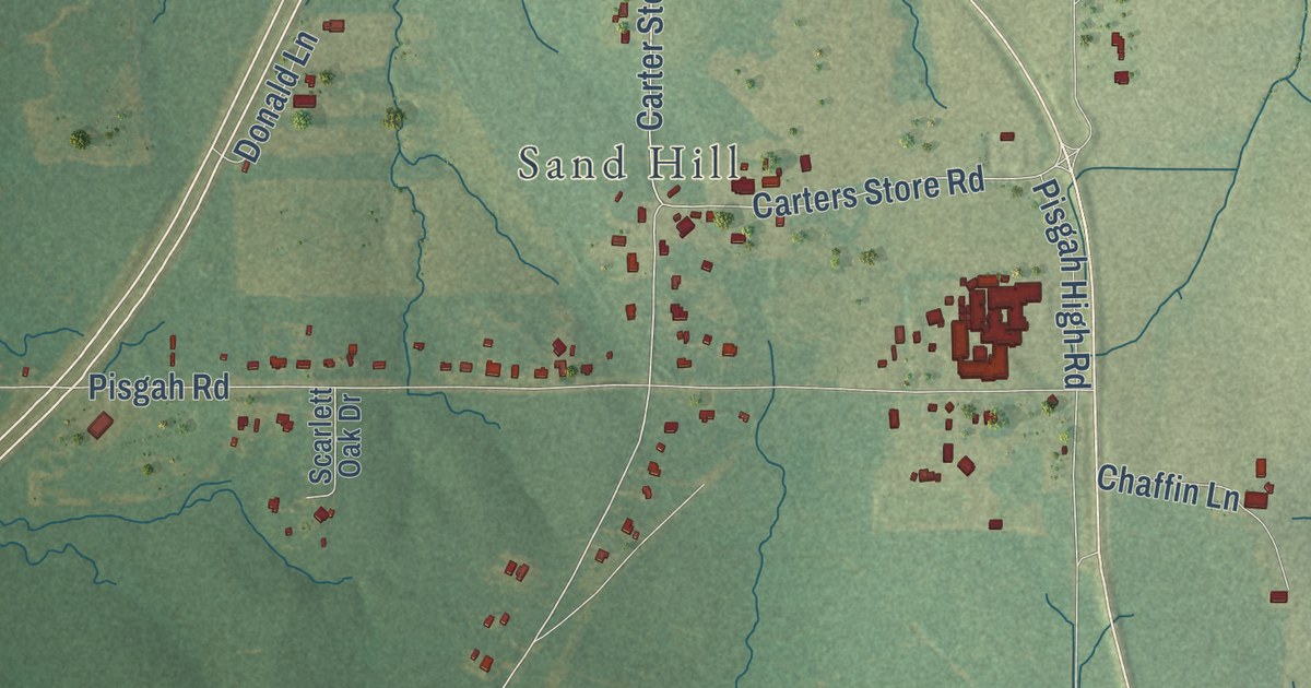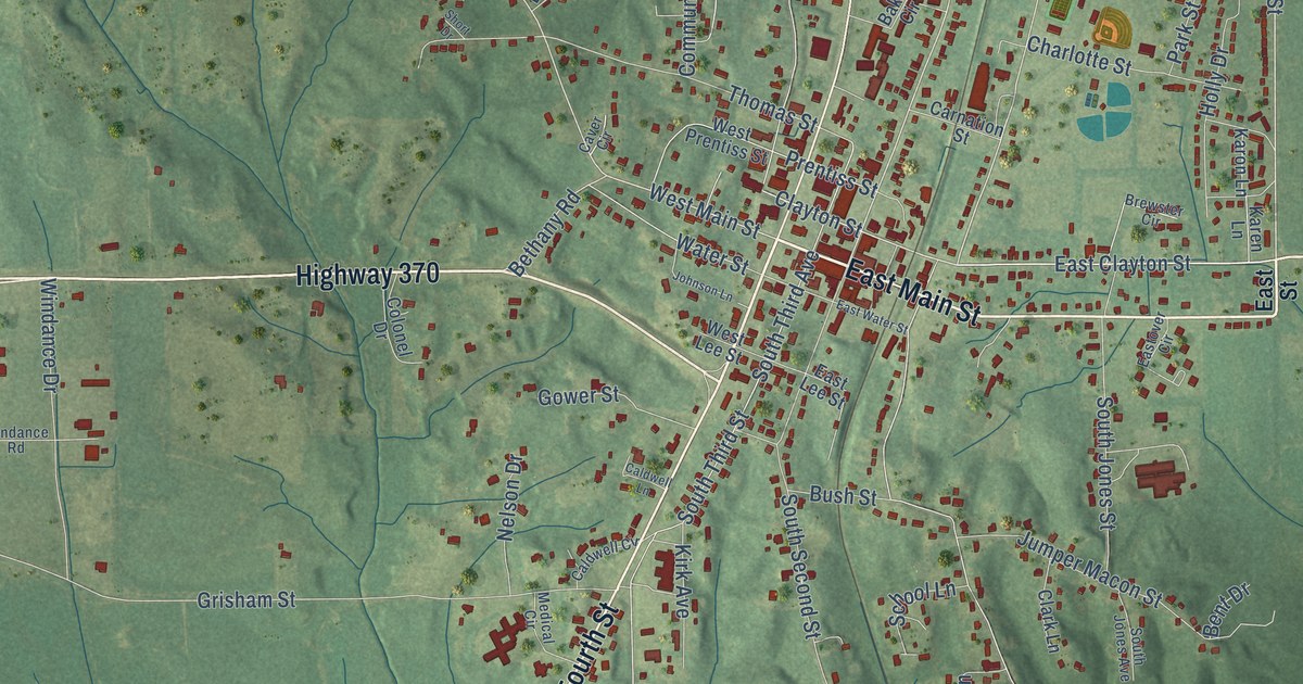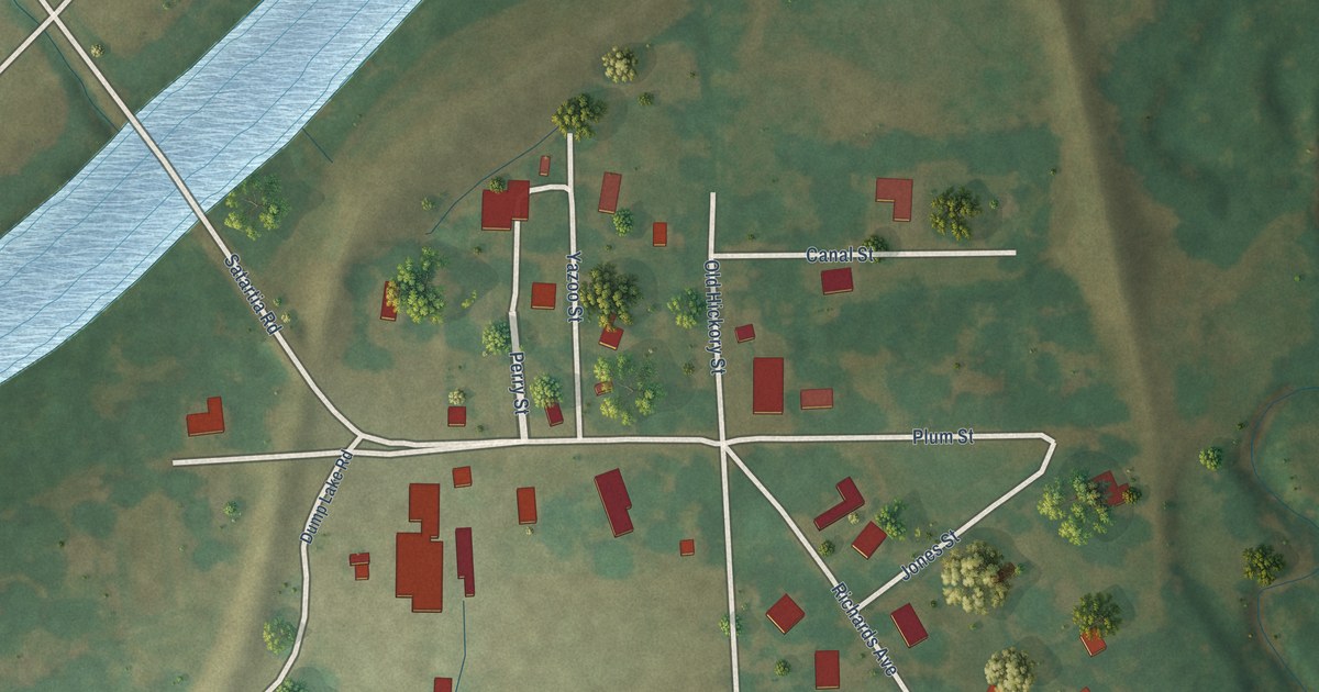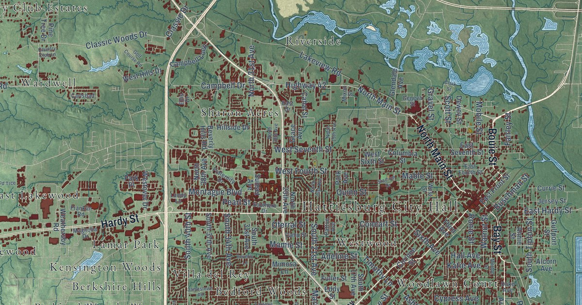
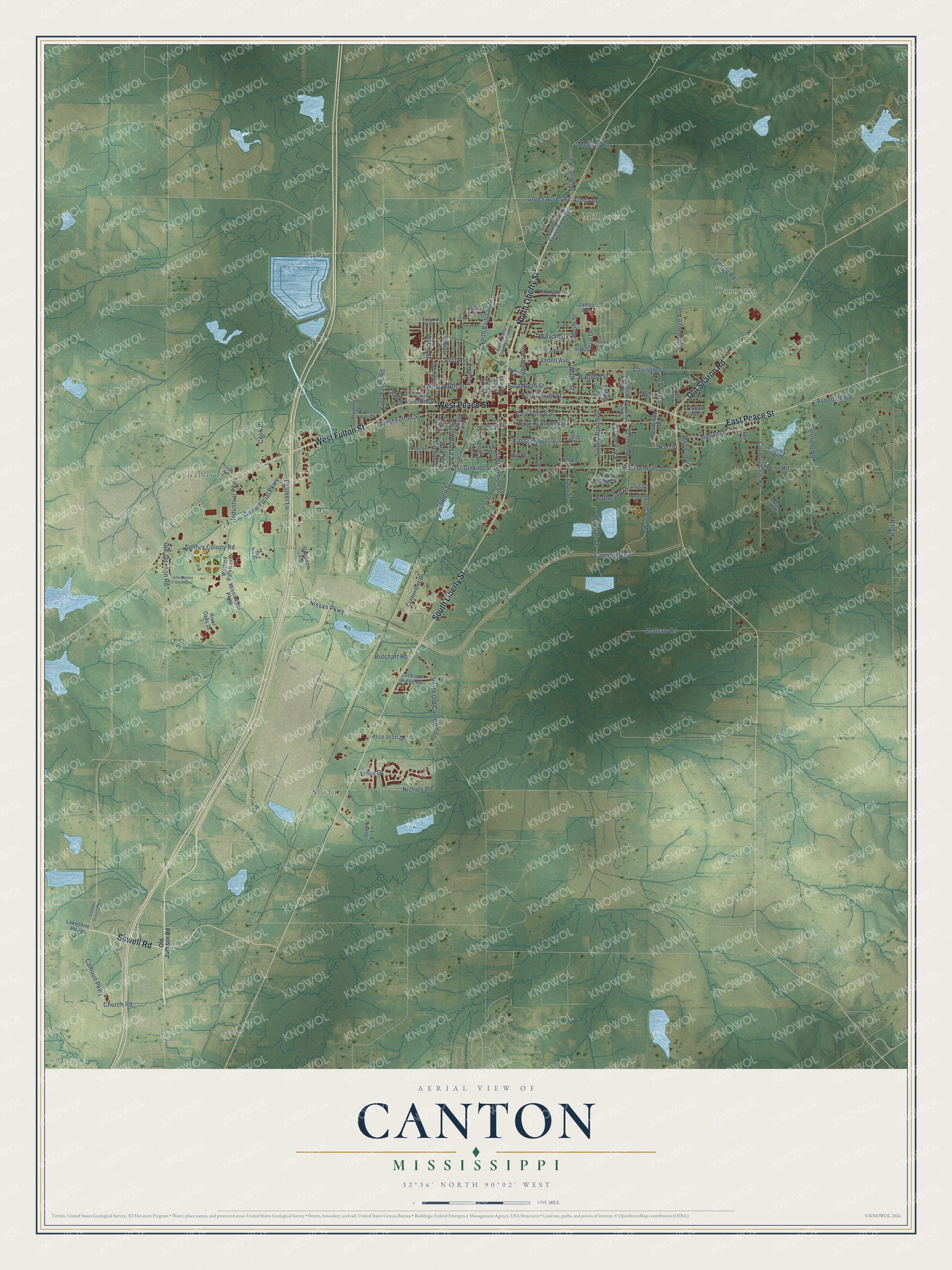
This beautifully detailed map of Canton, Mississippi was created in 2026 using aerial imagery combined with modern topographical, census, street and landmark data. It’s a one-of-a-kind view of Canton that combines accurate data with a vintage aesthetic. The map shows every building in its true location, many of the roads carry their names, and the shaded topographic relief shows the shape of the land.
Explore an aerial view of Canton, Mississippi
On the map you’ll find Milltown, Turnetta, Sloan, and Ballard, along with North Liberty Street, Sowell Road, West Peace Street, South Liberty Street, East Peace Street, West Fulton Street, Old Sharon Road, West North Street, and more. If you look closely you can even find your house accurately drawn in its correct location. Zoom in on the preview to look for yours.
Did you know this piece of Canton, Mississippi history?
From Mississippiencyclopedia.org: "The Canton civil rights movement began with efforts at voter registration in the 1950s and picked up strength when the Congress of Racial Equality, the Student Nonviolent Coordinating Committee, and eventually the Council of Federated Organizations addressed issues of voting, segregation, education, and violence."
Take a closer look at the Canton map
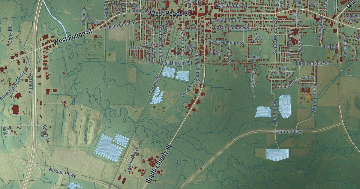
Street and place names on the Canton, Mississippi map
These names are printed on the map of Canton, Mississippi.
Places: Milltown, Turnetta, Sloan and Ballard.
Streets and roads: North Liberty Street, Sowell Road, West Peace Street, South Liberty Street, East Peace Street, West Fulton Street, Old Sharon Road, West North Street, Green Acres Road, Yandell Avenue, South Monroe Street, Industrial Parkway.
More street names, A to Z
Alice Scott Drive, Anderson Road, Avondale Road, Barfield Street, Boyd Street, Butchart Road, Calhoun Parkway, Calhoun Station Parkway, Cameron Street, Canton One Drive, Canton Parkway, Cauthen Street, Cedar Street, Cherry Street, Chinn Drive, Church Road, Cisne Avenue, Commerce Avenue, Commercial Parkway, Cook Place, Country Club Drive, Country Club Road, Covington Drive, Cowan Street, Cross Street, Denson Street, Dobson Avenue, Dowdle Drive, East Academy Street, East Center Street, East Dinkins Street, East Fulton Street, East North Street, East Semmes Street, Feather Lane, Finney Road, Fox Lane, Frey's Lane, Frost Street, Glenfield Road, Goodson Road, Grant Avenue, Gus Street, Hart Road, Hart Street, Hill Street, Hosley Street, Industrial Drive, Isabella Street, Jackson Ridge Road, James Avenue, John Bennie Smith Drive, Johnson Street, Jones Street, Katherine Drive, Kennedy Street, King Ranch Road, Lakeshire Parkway, Lee Street, Lincoln Street, Linda Drive, Links Drive, Lutz Avenue, Lyon Street, Matties Drive, McBride Road, McGraw Road, Meadowlark Drive, Miller Street, Mississippi Parkway, Morgan Road, Nancy Drive, Nichols Road, Nissan Parkway, Northgate Drive, North Hargon Street, North Hickory Street, North Kathy Circle, North Liberty Street Extended, North Old Canton Road, North Railroad Street, North Union Street, North Union Street Extended, Old Airport Road, Old Jackson Road, Park Drive, Parker Street, Penn Road, Plummer Drive, Plum Street, Ricks Drive, River Oaks Drive, Rosebud Drive, Smith Vaniz Court, Soldier Colony Road, South Canal Street, South Hargon Street, South Union Street, South Walnut Street, Steen Lane, Sunset Drive, Tex Street, Trafton Avenue, Trigg Hill Drive, Trolio Street, Tupelo Street, Van Buren Street, Virlilia Road, Watford Parkway Drive, Weems Drive, Welch Street, West Academy Street, West Dinkins Street, West Franklin Street, Wilson Street, Woodale Drive, Woodland Drive, Wood Street.
See the Canton, Mississippi map on a wall
The Canton map as an 18 x 24 inch print in a black frame.

This beautifully detailed map of Canton makes an attractive addition to your office, library, or den, and it can even be used to teach children the geography and history of the area. It also makes a great gift for anyone with Canton roots. When you’re done exploring, click here to get your copy of the Canton map.