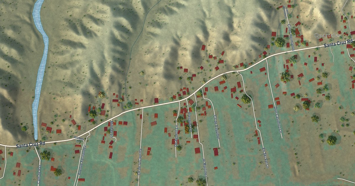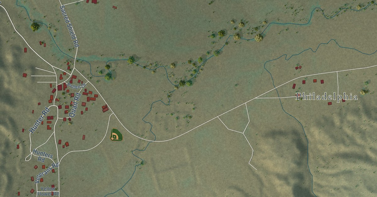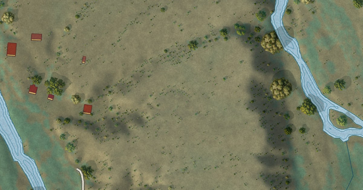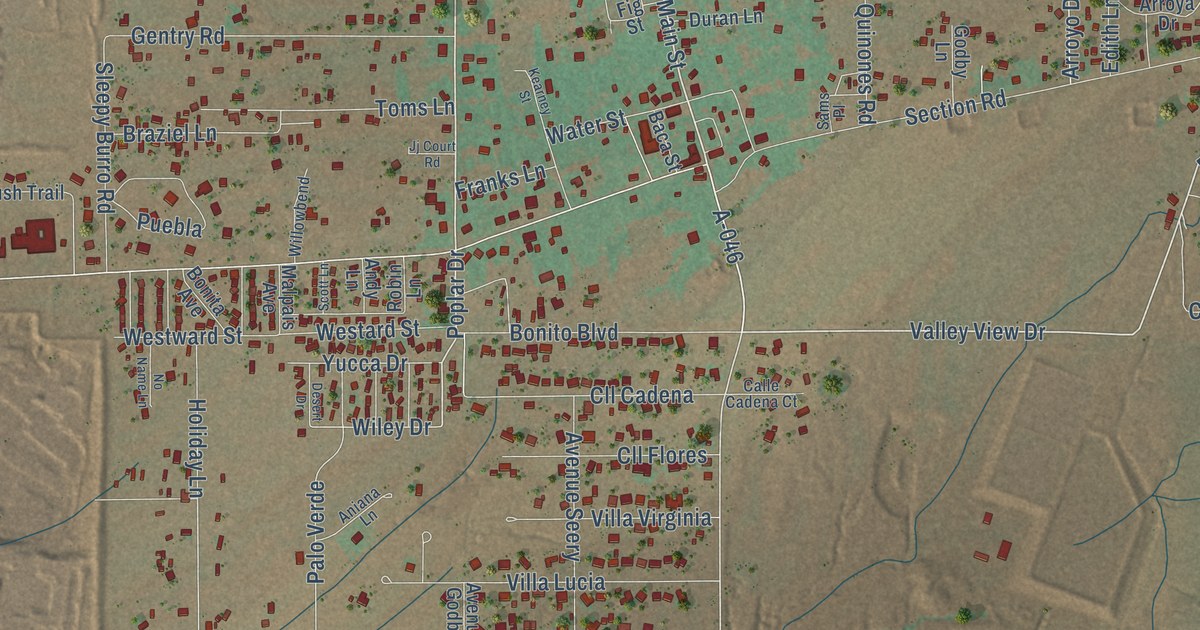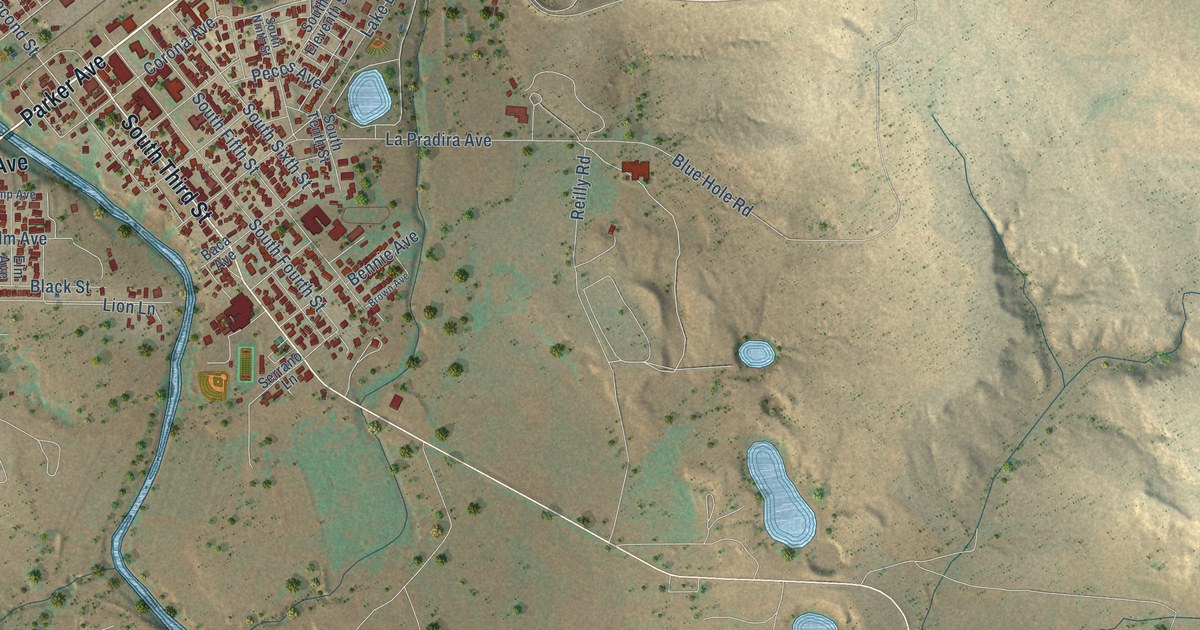
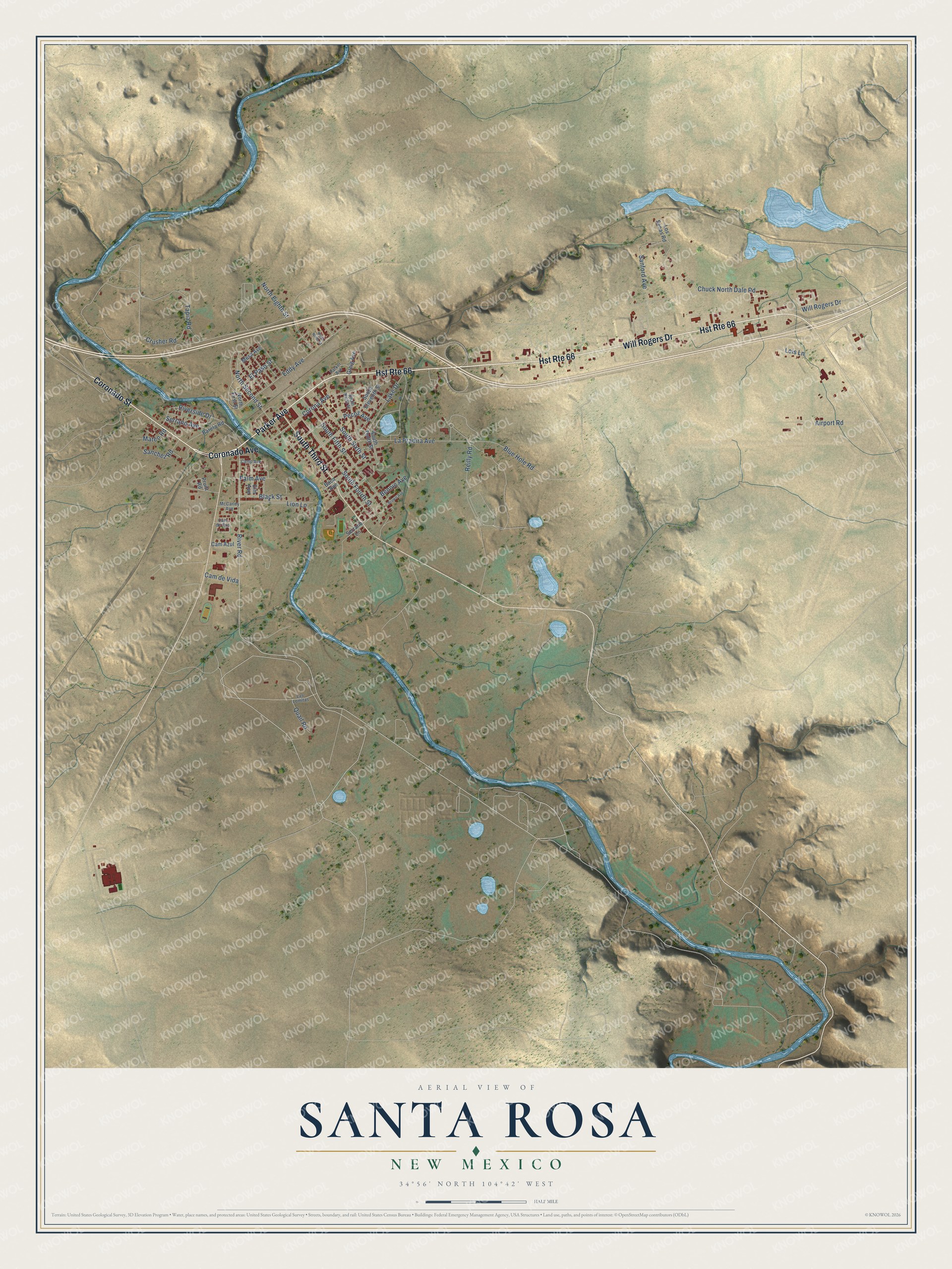
This beautifully detailed map of Santa Rosa, New Mexico was created in 2026 using aerial imagery combined with modern topographical, census, street and landmark data. It’s a one-of-a-kind view of Santa Rosa that combines accurate data with a vintage aesthetic. The map shows every building in its true location, many of the roads carry their names, and the shaded topographic relief shows the shape of the land.
Explore an aerial view of Santa Rosa, New Mexico
On the map you’ll find Will Rogers Drive, Coronado Avenue, South Third Street, Parker Avenue, Coronado Street, River Road, North Second Street, Eddy Avenue, Corona Avenue, Chuck North Dale Road, South Fourth Street, South Fifth Street, and more. If you look closely you can even find your house accurately drawn in its correct location. Zoom in on the preview to look for yours.
Did you know this piece of Santa Rosa, New Mexico history?
From the WPA Guide to New Mexico: "The first settlement here was called Agua Negra Chiquita (little black water). It developed here after 1865 when Don Celso Baca came from Mexico and became lord of the region under the old custom of range domain."
Take a closer look at the Santa Rosa map
Street names on the Santa Rosa, New Mexico map
These names are printed on the map of Santa Rosa, New Mexico.
Streets and roads: Hst Route 66, Will Rogers Drive, Coronado Avenue, South Third Street, Parker Avenue, Coronado Street, River Road, North Second Street, Eddy Avenue, Corona Avenue, Chuck North Dale Road, South Fourth Street.
More street names, A to Z
Airport Road, Baca Avenue, Barela Road, Bennie Avenue, Black Street, Blue Hole Road, Brown Avenue, Cam Azul, Cam de Oro, Cam de Vida, Camp Avenue, Crusher Road, Elm Avenue, El Paso Street, Greig Avenue, Lake Drive, La Pradira Avenue, Las Lomitas, Lion Lane, Lois Lane, Los Senas Road, Mateo Road, McCarley Avenue, Mesa Avenue, North Eighth Street, North First Street, North Ninth Street, Palm Avenue, Pecos Avenue, Pruitt Road, Quail Road, Reilly Road, Riverside Drive, Sanchez Road, Sanford Avenue, Serrano Avenue, Serrano Lane, South Eleventh Street, South Fifth Street, South Ninth Street, South Sixth Street, South Tenth Street, Tapia Road.
See the Santa Rosa, New Mexico map on a wall
The Santa Rosa map as an 18 x 24 inch print in a black frame.

This beautifully detailed map of Santa Rosa makes an attractive addition to your office, library, or den, and it can even be used to teach children the geography and history of the area. It also makes a great gift for anyone who grew up in Santa Rosa or moved away. When you’re done exploring, click here to get your copy of the Santa Rosa map.