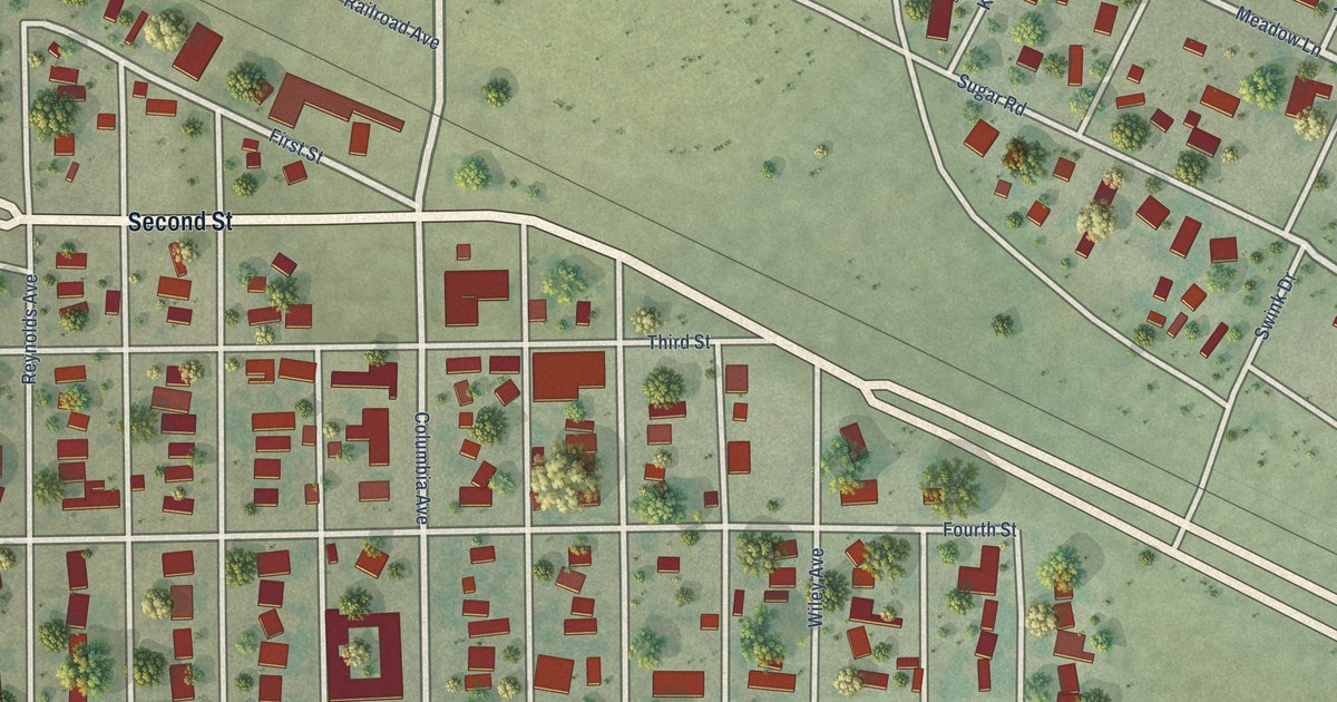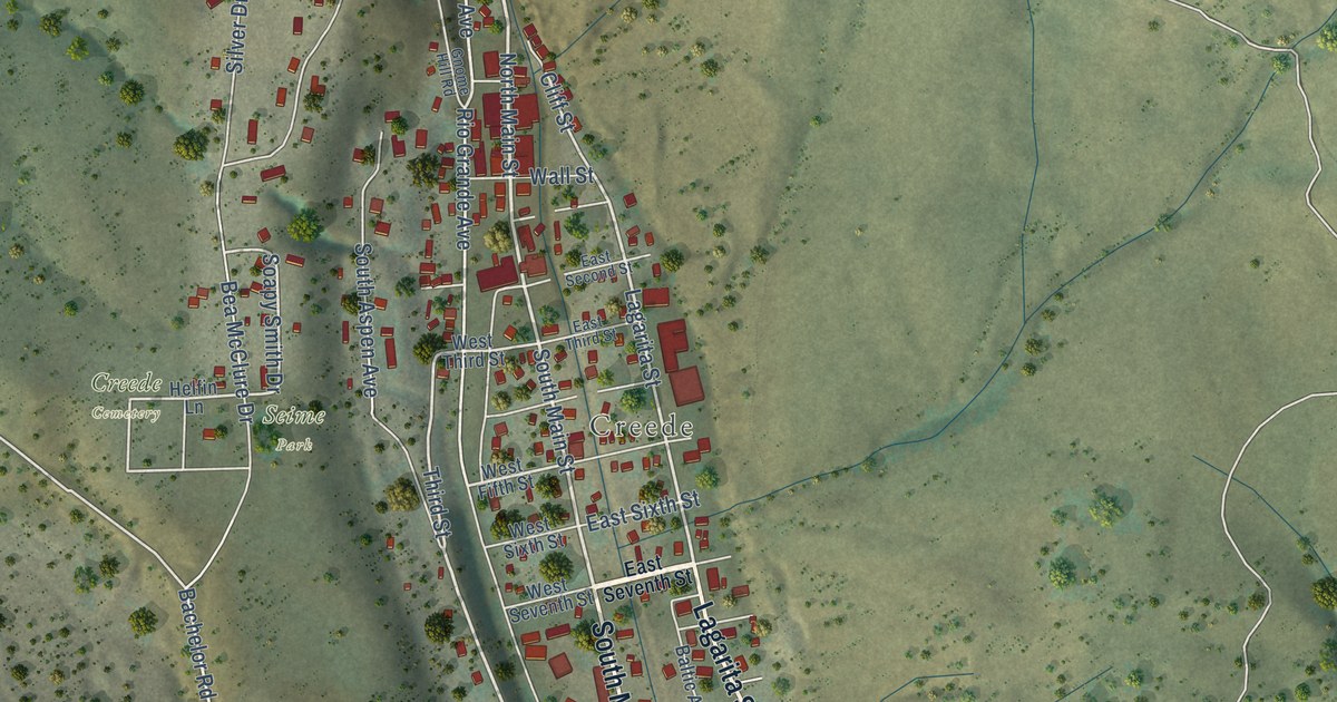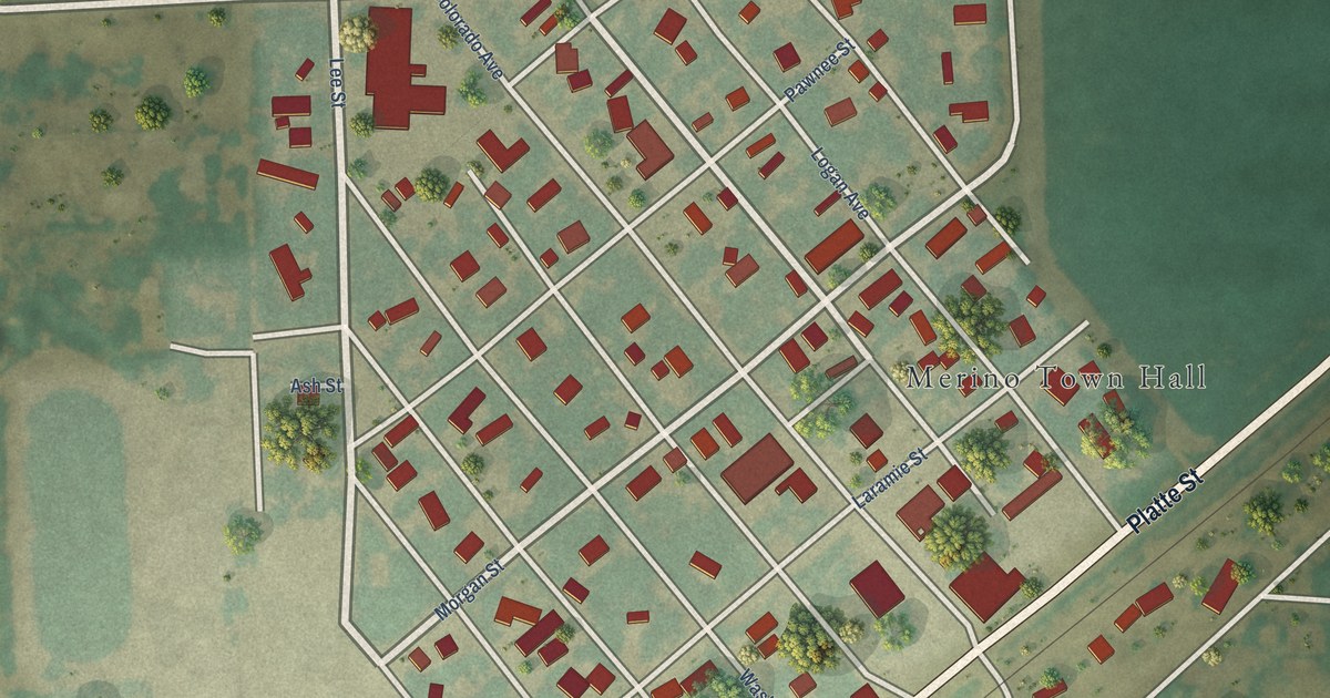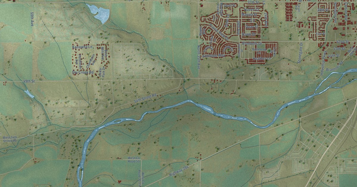
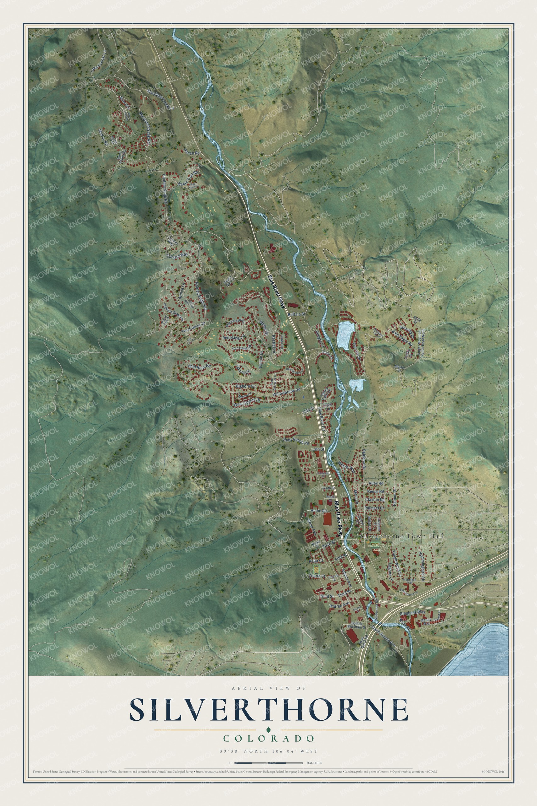
This beautifully detailed map of Silverthorne, Colorado was created in 2026 using aerial imagery combined with modern topographical, census, street and landmark data. It's a modern aerial view of Silverthorne in Summit County, Colorado, that combines modern data with a vintage aesthetic. The roads feature printed names, and if you look closely you can find your exact house accurately shown in its correct location.
Explore an aerial view of Silverthorne, Colorado
On this map you'll find Silverthorne Town Hall, Rainbow Park, Blue River Parkway, Ruby Ranch Road, Blue River Circle, Bald Eagle Road, 15th Street, Polar Court, Golden Eagle Road, Mesa Drive, Kestrel Lane, Adams Avenue, and more. Each red shape is a building, so zoom in on the preview and look for yours.
Every town has a first chapter, and Silverthorne is no exception. The Town of Silverthorne puts it this way: "After incorporating in 1967, Silverthorne evolved into a convenient refueling stop along Interstate 70 and then into its central role today as Summit County’s major retail destination."
Silverthorne is a town in Summit County. The Census Bureau counted 4,402 people here in 2020.
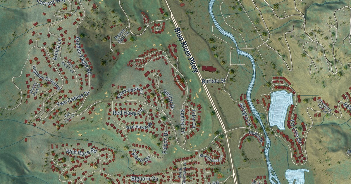
Take a closer look at the Silverthorne map
Names on this map
These names are printed on this map.
Places: Silverthorne Town Hall and Rainbow Park.
Streets and roads: Blue River Parkway, Ruby Ranch Road, Blue River Circle, Bald Eagle Road, 15th Street, Polar Court, Golden Eagle Road, Mesa Drive, Kestrel Lane, Adams Avenue, Palmers Drive, Willow Way.
More street names, A to Z
13th Street, Aerie Drive, Allegra Lane, Angler Mountain Ranch Road North, Annie Road, Arnica Lane, Bighorn Circle, Black Hawk Circle, Blue Grouse Lane, Boise Drive, Brian Avenue, Brian Court, Buffalo Mountain Drive, Buffalo Street, Bull Lake Court, Byers Valley Road, Caddis Lane, Cascade Circle, Center Circle, Clayton Road, Creek Lane, Currant Way, Current Way, Easy Bend Trail, Eleventh Street, Falcon Circle, Falcon Drive, Fifth Street, Fly Line Drive, Fourth Street, Game Trail Road, Highline Crossing, High Park Court, Hummingbird Circle, Hunters Knob Road, Lagoon Lane, Lake Everist Lane, Legend Lake Circle, Marmot Circle, Maryland Creek Lane, Maryland Creek Road, Mayfly Drive, McKay Road, McKay Trail, Meraly Way, Middle Park Court, Moss Landing, Moss Way, Ninth Street, North Chipmunk Lane, Palmer Drive, Pheasant Tail Lane, Ptarmigan Trail, Rainbow Drive, Ranch Road, Raven Golf Lane, Red Hawk Circle, Red Hawk Road, Reese Road, Riley Road, River Road, Robin Drive, Ryan Gulch Road, Second Street, Silverthorne Lane, Sixth Street, South Adams Avenue, Stellar Drive, Stephens Way, Stonefly Drive, Summit Place, Talon Circle, Tanglewood Lane, Tenth Street, Third Street, Two Cabins Drive, Warren Avenue, West Coyote Drive, Wildernest Road, Wild Rose Road, Willowbrook Road.
Created by KNOWOL in 2026. The buildings are small red shapes, the roads carry their printed names, and shaded relief shows the shape of the land. The title panel reads "AERIAL VIEW OF SILVERTHORNE COLORADO" with 39°38' NORTH 106°04' WEST.
Hang it in the hallway, the office or the cabin, or give it to someone who left Silverthorne and still calls it home. Open the preview and look for a street you know. See sizes and frames for the Silverthorne map.