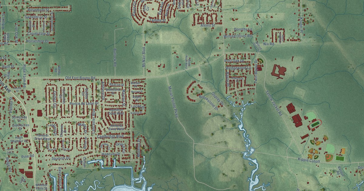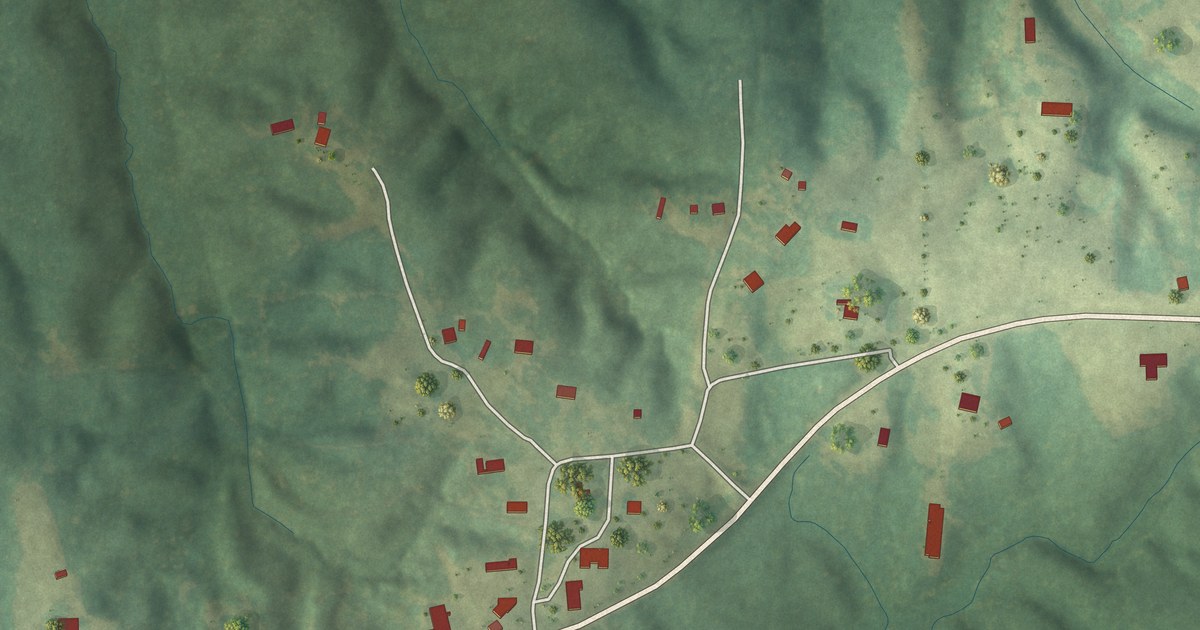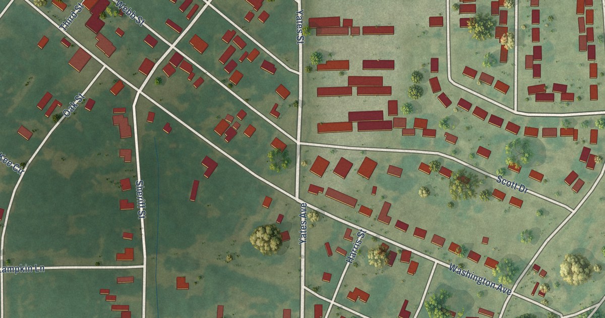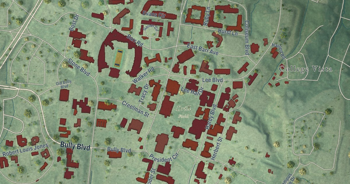
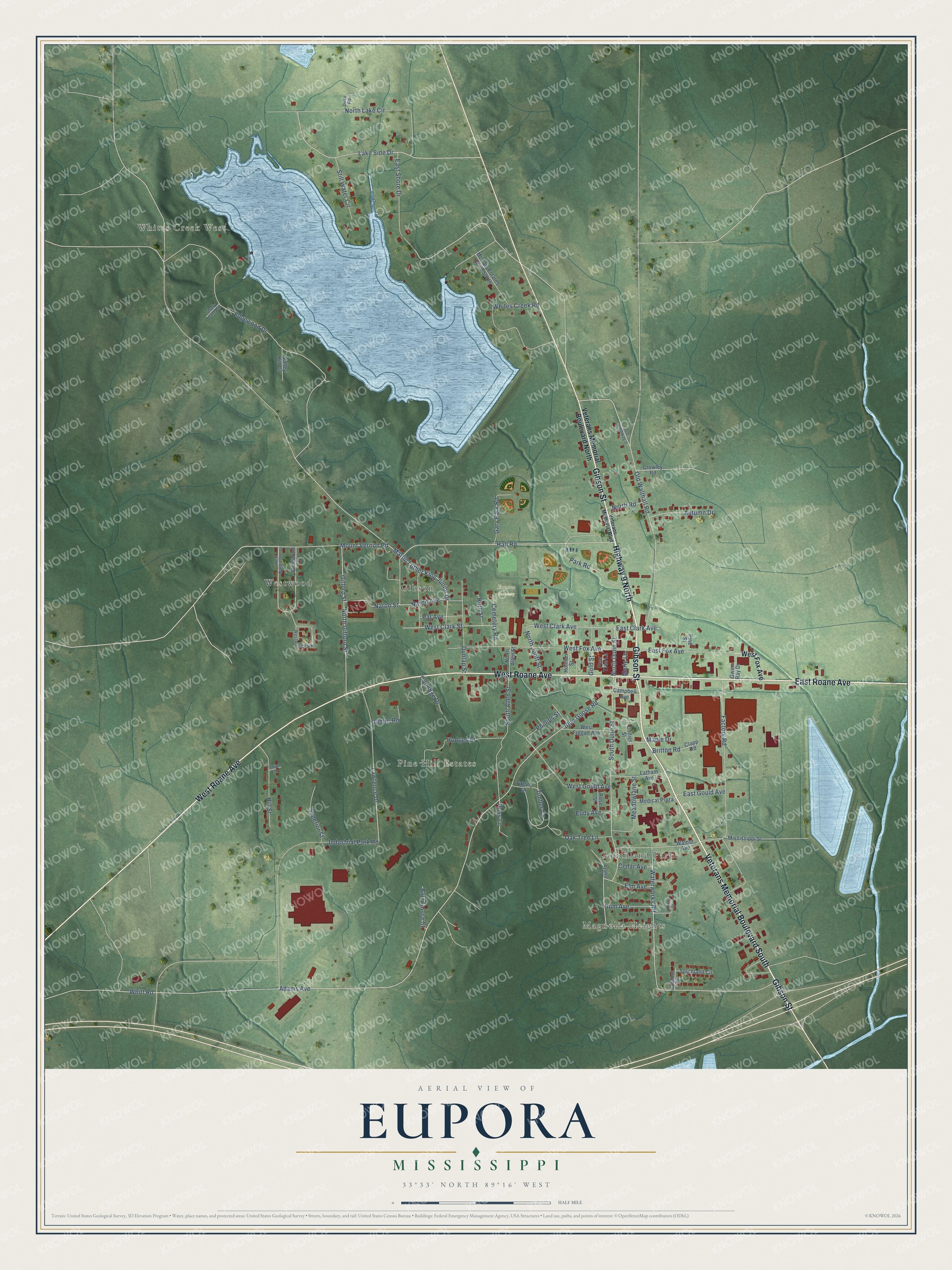
This beautifully detailed map of Eupora, Mississippi was created in 2026 using aerial imagery combined with modern topographical, census, street and landmark data. It’s a one-of-a-kind view of Eupora that combines accurate data with a vintage aesthetic. The map shows every building in its true location, many of the roads carry their names, and the shaded topographic relief shows the shape of the land.
Explore an aerial view of Eupora, Mississippi
On the map you’ll find Whites Creek West, Magnolia Heights, Pine Hill Estates, Eupora Cemetery, Gibson, Southland Park, and Westwood, along with Highway 9 North, Veterans Memorial Boulevard South, Gibson Street, East Roane Avenue, West Roane Avenue, and more. If you look closely you can even find your house accurately drawn in its correct location. Zoom in on the preview to look for yours.
Did you know this piece of Eupora, Mississippi history?
From Rowland's Mississippi: "Joseph Marshall established the Eupora Progress here in September, 1889. It is a Democratic weekly, of which M. W. Sharp is the present editor and publisher."
Take a closer look at the Eupora map
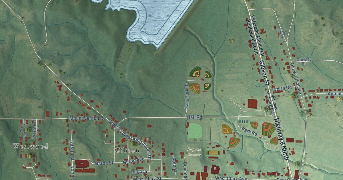
Street and place names on the Eupora, Mississippi map
These names are printed on the map of Eupora, Mississippi.
Places: Whites Creek West, Magnolia Heights, Pine Hill Estates, Eupora Cemetery, Gibson, Southland Park, Westwood and Westwood Park.
Streets and roads: Highway 9 North, Veterans Memorial Boulevard South, Gibson Street, East Roane Avenue, West Roane Avenue, East Clark Avenue, West Clark Avenue, North Dunn Street, Hall Road, South Dunn Street, North Joliff Street, Mount Vernon Road.
More street names, A to Z
Adams Avenue, Autumn Drive, Azalea Drive, Blue Goose Road, Blue Goose Street, Britton Road, Campbell Avenue, Catledge Drive, Cedar Avenue, Cemetery Road, Clapp Road, Collier Street, Colonel Street, Colonial Drive, Crowley Road, Duke Road, Dunlap Street, East Fox Avenue, East Gould Avenue, East Shore Drive, Edgewood Drive, Elm Avenue, Eudy Avenue, Factory Road, Gary Park Road, Gifford Street, Gold Street, Gum Avenue, Gunter Road, Gwen Ray Drive, Hill Street, Hodges Street, Holman Street, Industrial Park Road, Lake Side Drive, Latham Avenue, Lawrence Drive, Maple Drive, Marie Lane, Martin Luther King Junior Drive, McCain Estates Drive South, Meadowlane Street, Medical Plaza, Mississippi Street, Naron Avenue, Naron Street, North Allen Street, North Gifford Street, North Lake Circle, North Road, Oak Tree Lane, Old Highway 9, Old Walthall Road, Park Road, Pat Avenue, Pear Tree Lane, Phillips Street, Pine Street, Rose Street, Ross Lane, Ruth Street, Shady Lane Circle, South Allen Street, Southland Circle, Still Water Circle, Superior Street, Tiffany Drive, Timber Cv, Union Street, Valley Hill Circle, Veterans Memorial Boulevard, Veterans Memorial Boulevard North, Walnut Avenue, Waterworks Road, West Clark Street, West Figgatt Avenue, West Fox Avenue, West Gould Avenue, West Westwood Drive, Westwood Drive, Whites Creek Road, Whitt Road.
See the Eupora, Mississippi map on a wall
The Eupora map as an 18 x 24 inch print in a black frame.

This beautifully detailed map of Eupora makes an attractive addition to your office, library, or den, and it can even be used to teach children the geography and history of the area. It also makes a great gift for anyone who grew up in Eupora or moved away. When you’re done exploring, click here to get your copy of the Eupora map.