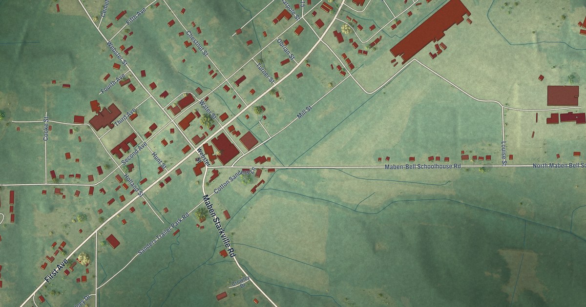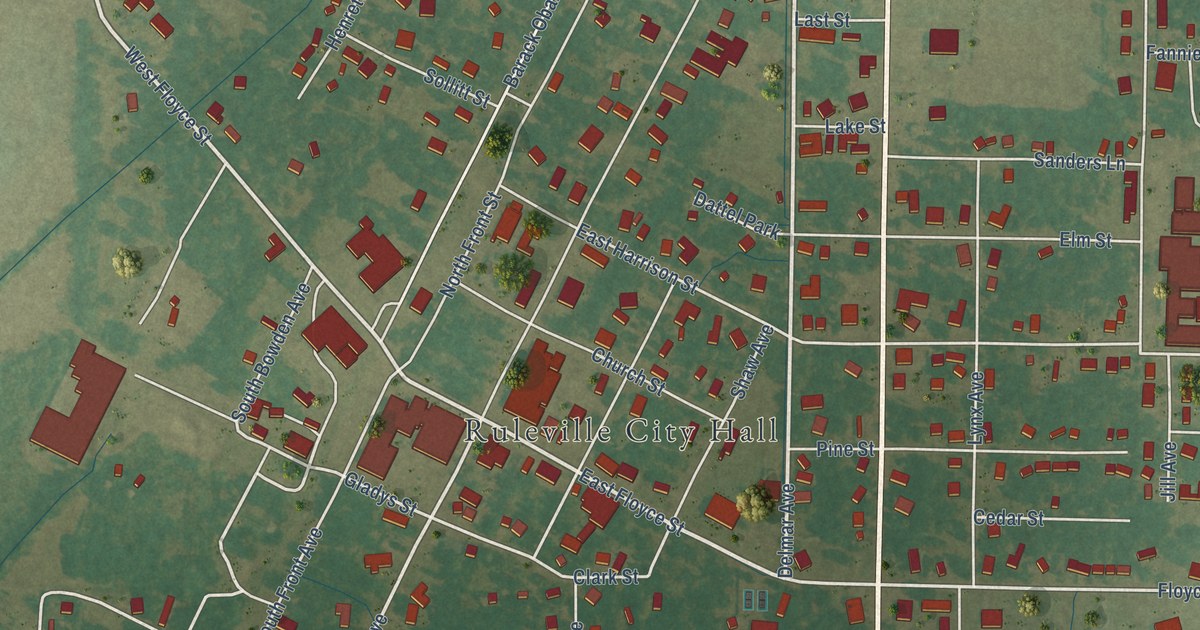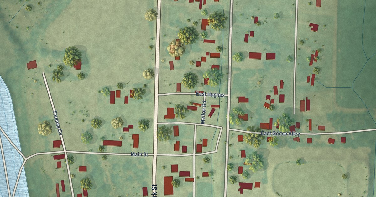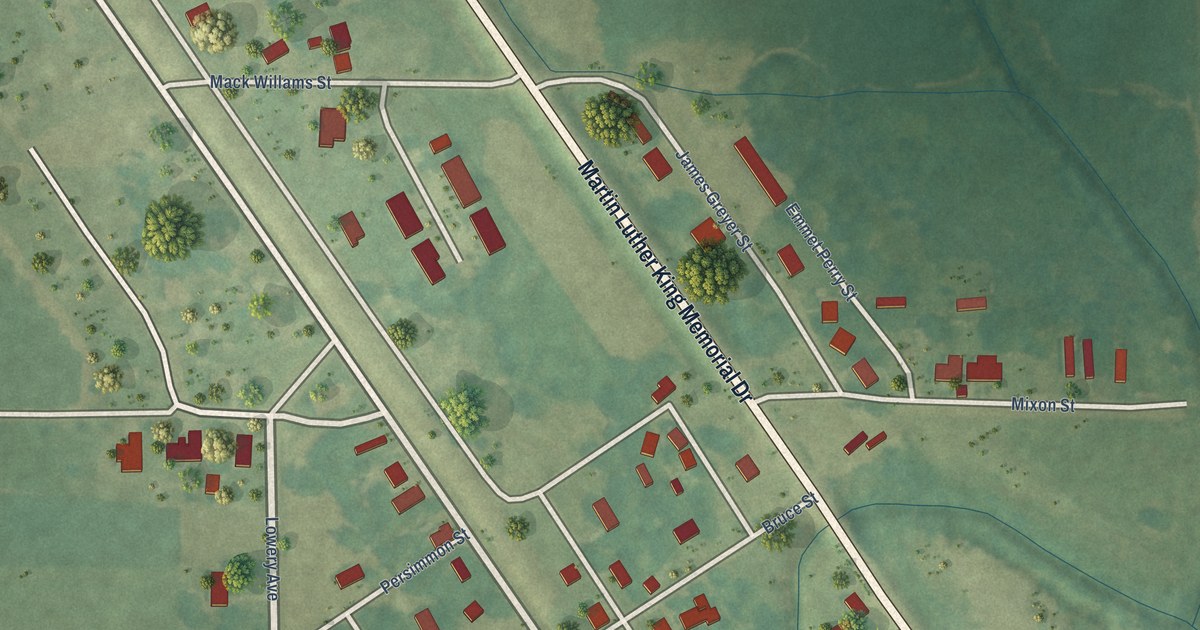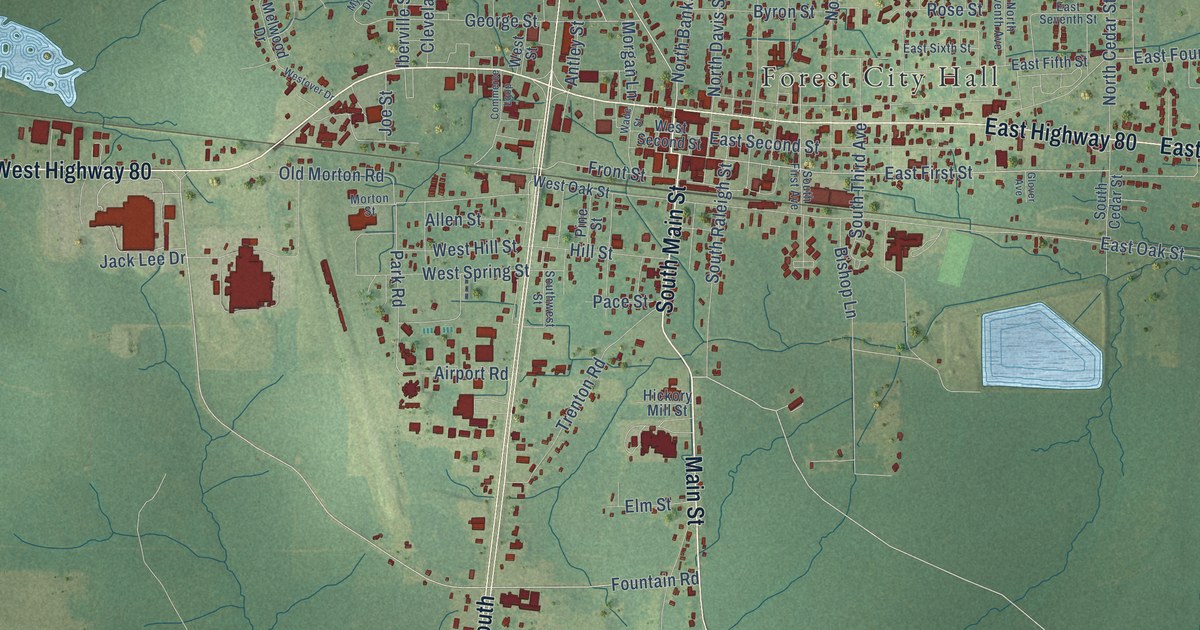
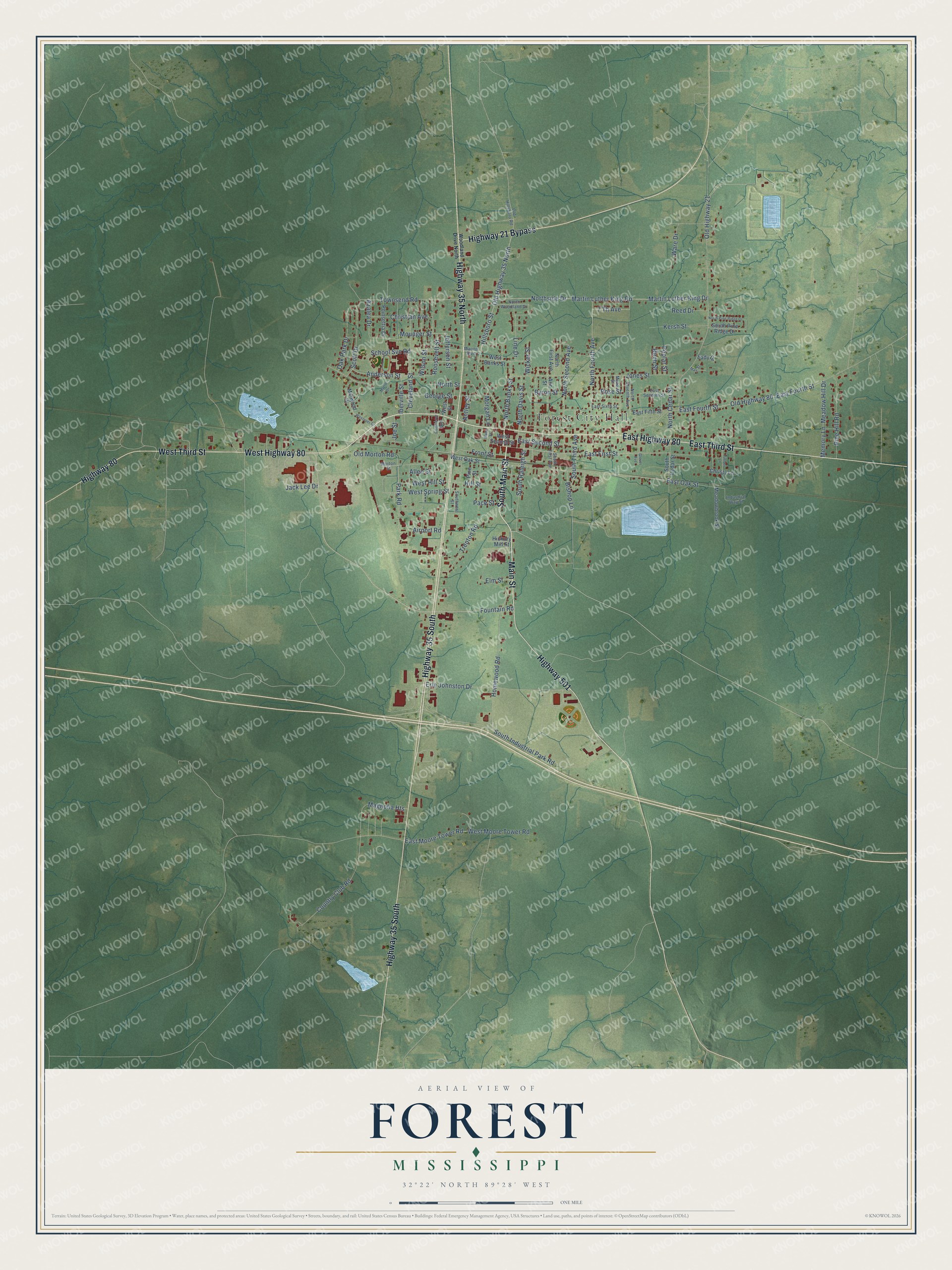
This beautifully detailed map of Forest, Mississippi was created in 2026 using aerial imagery combined with modern topographical, census, street and landmark data. It's a modern aerial view of Forest in Scott County, Mississippi, that combines modern data with a vintage aesthetic. The roads feature printed names, and if you look closely you can find your exact house accurately shown in its correct location.
Explore an aerial view of Forest, Mississippi
On this map you'll find Forest City Hall, South Main Street, Main Street, West Highway 80, East Highway 80, Highway 35 South, Highway 35 North, Highway 21 Bypass, West Third Street, East Third Street, Highway 501, Highway 80, and more. Each red shape is a building, so zoom in on the preview and look for yours.
Every town has a first chapter, and Forest is no exception. The record at mississippiencyclopedia.org puts it this way: "Bienville National Forest, established in 1936, provided 178,000 acres of land for fishing, hiking, and camping."
Forest is a city in Scott County. The Census Bureau counted 5,430 people here in 2020.
Take a closer look at the Forest map
Names on this map
These names are printed on this map.
Places: Forest City Hall.
Streets and roads: South Main Street, Main Street, West Highway 80, East Highway 80, Highway 35 South, Highway 35 North, Highway 21 Bypass, West Third Street, East Third Street, Highway 501, Highway 80, Fountain Road.
More street names, A to Z
7 Th Avenue, Airport Road, Allen Street, Anderson Street, Ann Street, Antley Street, Azalea Drive, Birch Street, Bishop Lane, Byron Street, Christian Avenue, Christy Lane, Cleveland Street, Commerce Loop, Country Club Road, Eady Drive, East Fifth Street, East First Street, East Fourth Street, East Moore Tower Road, East Oak Street, East Second Street, East Seventh Street, East Sixth Street, Elm Street, Erle Johnston Drive, Front Street, George Street, Glover Avenue, Hickory Mill Street, Hillsboro Street, Hill Street, Homewood Road, Iberville Street, Industrial Way Street, Jack Lee Drive, Jefferson Street, Joe Street, Jones Street, Kersh Street, Line Drive, Magnolia Heights, Marion Boulevard, Martin Luther King Drive, Martin Luther King Road, May Street, Meadowbrook Street, Meadow Hill Drive, Mead Street, Melwood Drive, Memory Lane, Morgan Lane, Morton Street, Mounger Street, Myrtle Drive, North Banks Street, North Cedar Street, North Davis Street, North First Avenue, North Fourth Avenue, North Pine Ridge Drive, North Second Avenue, North Seventh Avenue, Northside Drive, North Street, North Woodland Drive, Oak Park Drive, Old Highway 21, Old Highway 35 North, Old Highway 80, Old Hillsboro Road, Old Morton Road, Pace Street, Park Road, Pine Hill Road, Pine Street, Poinsettia Drive, Poplar Street, Reed Drive, Roosevelt Street, Rose Street, School Svc Road, Scott Drive, South Cedar Street, South First Avenue, South Industrial Park Road, South Pine Ridge Drive, South Raleigh Street, South Third Avenue, Southwest Street, Timber Lane, Townsend Road, Trenton Road, Wade Street, Ware Drive, West Banks Street, West Hill Street, West Moore Tower Road, West Oak Street, Westover Drive, West Second Street, West Spring Street, West Street, Wicker Street, Wilson Street, Woodland Drive North.
Created by KNOWOL in 2026. The buildings are small red shapes, the roads carry their printed names, and shaded relief shows the shape of the land. The title panel reads "AERIAL VIEW OF FOREST MISSISSIPPI" with 32°22' NORTH 89°28' WEST.
Hang it in the hallway, the office or the cabin, or give it to someone who left Forest and still calls it home. Open the preview and look for a street you know. See sizes and frames for the Forest map.