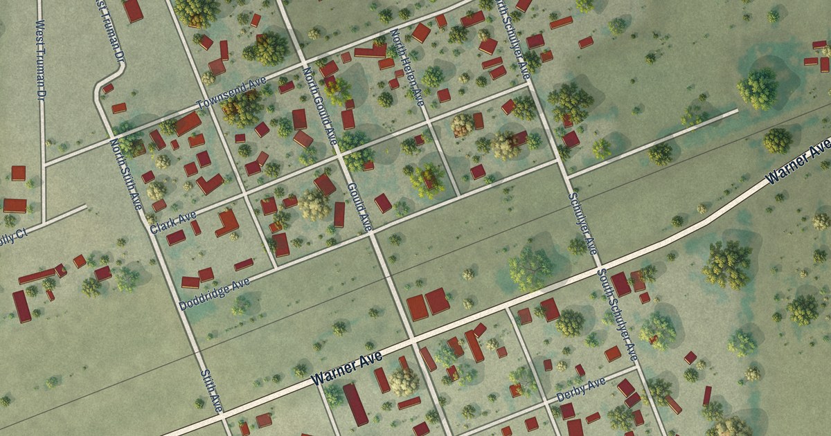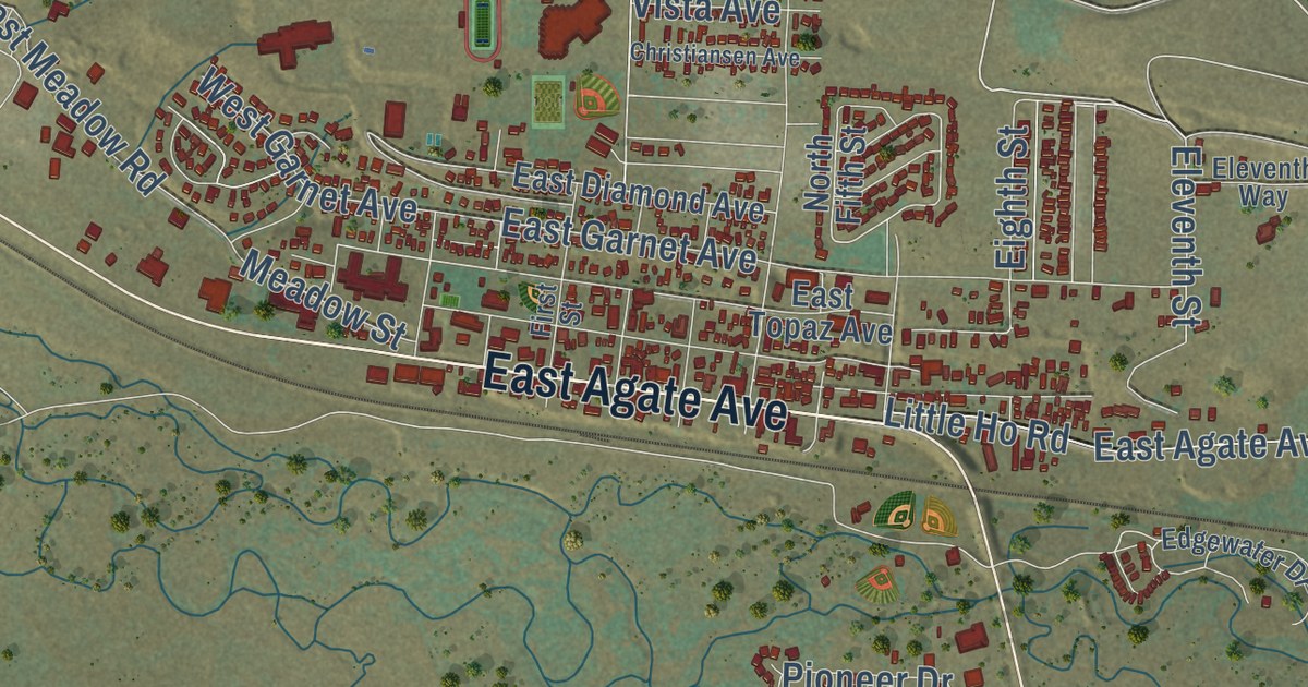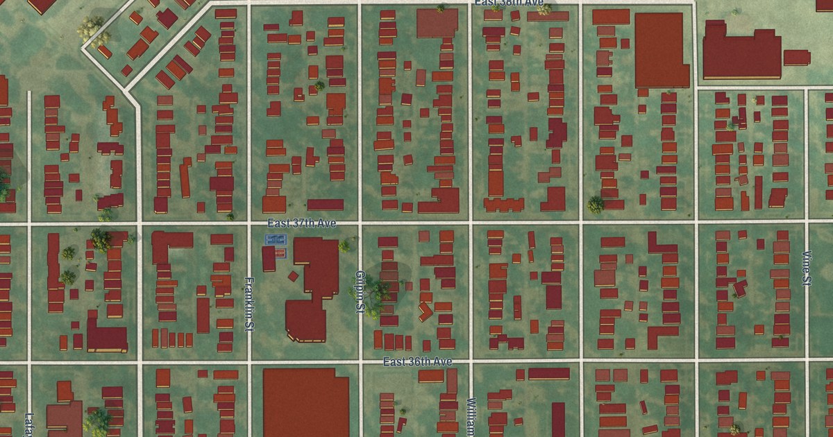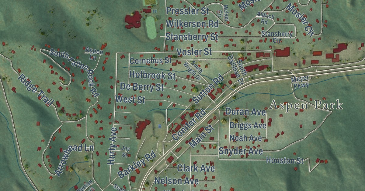
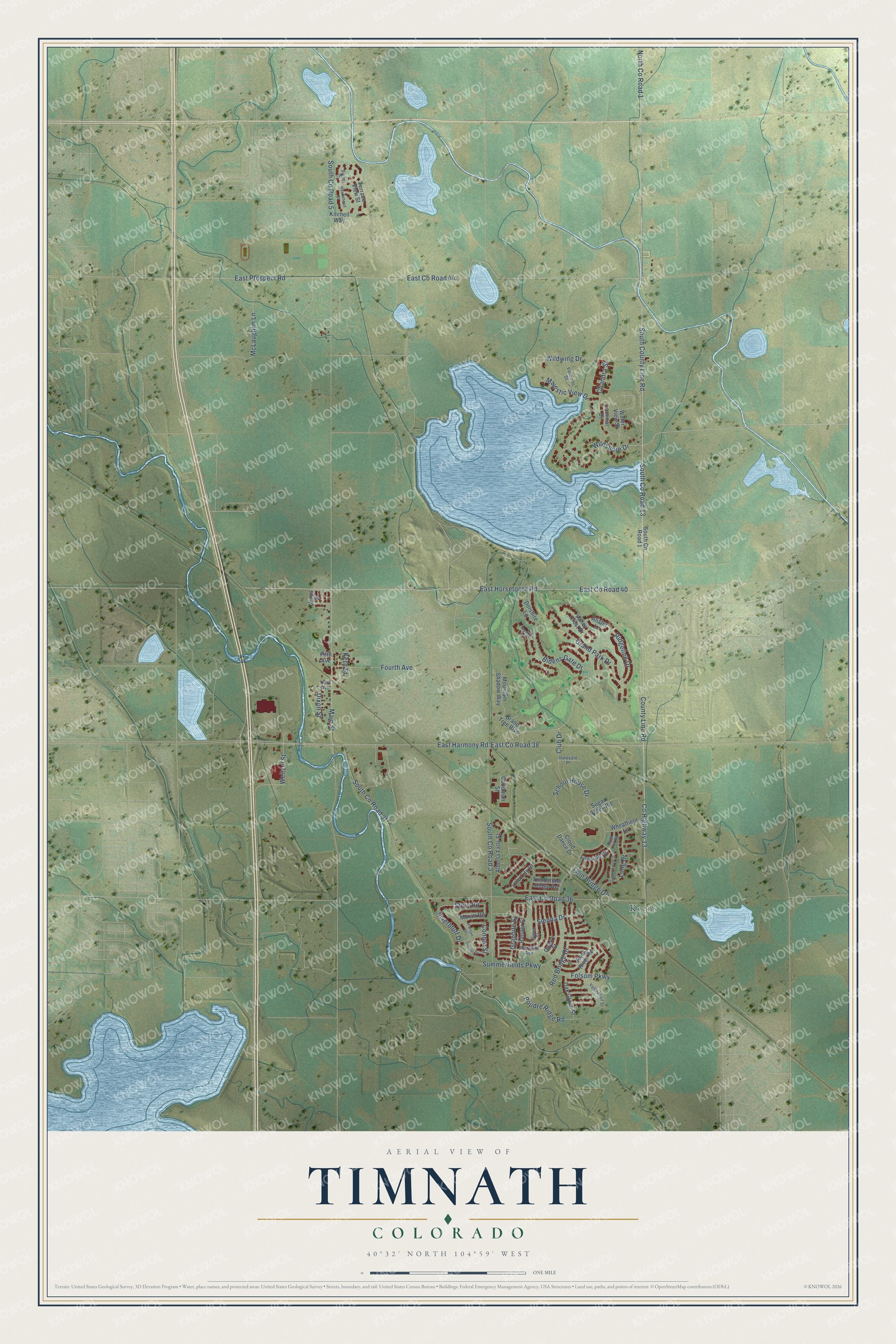
This beautifully detailed map of Timnath, Colorado was created in 2026 using aerial imagery combined with modern topographical, census, street and landmark data. It’s a one-of-a-kind view of Timnath that combines accurate data with a vintage aesthetic. The map shows every building in its true location, many of the roads carry their names, and the shaded topographic relief shows the shape of the land.
Explore an aerial view of Timnath, Colorado
On the map you’ll find Kerns, East Co Road 40, South Co Road 13, East Co Road 44, and East Co Road 38, along with South County Line Road, East Horsetooth Road, County Line Road, East Prospect Road, County Highway 13, Wildshore Drive, Summerfields Parkway, and more. If you look closely you can even find your house accurately drawn in its correct location. Zoom in on the preview to look for yours.
Did you know this piece of Timnath, Colorado history?
From Place Names in Colorado: "TIMNATH (Larimer) Named by Reverend Charles A. Taylor, who took his cue from the 14th Chapter of Judges. He was the first postmaster. Formerly known as SHERWOOD, for an early day pioneer. Timnath was the place where Sampson went to claim his bride."
Take a closer look at the Timnath map
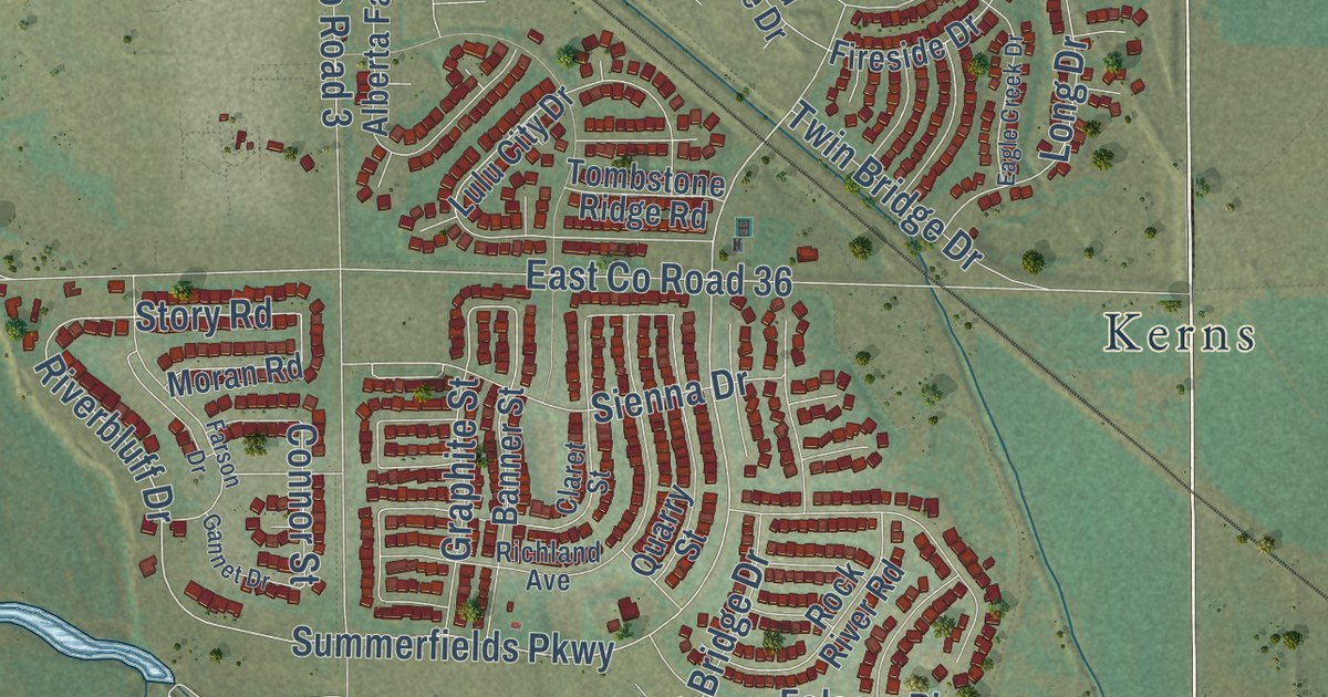
Street and place names on the Timnath, Colorado map
These names are printed on the map of Timnath, Colorado.
Places: Kerns.
Streets and roads: South County Line Road, East Horsetooth Road, County Line Road, East County Road 40, South County Road 13, East County Road 44, East Prospect Road, East County Road 38, County Highway 13, Wildshore Drive, Summerfields Parkway, Riverbluff Drive.
More street names, A to Z
Alberta Falls Street, Alister Lane, Banner Street, Bidens Gate Drive, Chandra Street, Claret Street, Cloud Dance Drive, Club Drive, Connor Street, Dixon Street, Dorshire Lane, Eagle Creek Drive, East County Road 36, East Harmony Road, Farson Drive, Fifth Avenue, Fireside Drive, Folsom Parkway, Fourth Avenue, Gannet Drive, Goodman Street, Grand Park Drive, Grand Tree Boulevard, Graphite Street, Hawkshead Street, Innovate Place, Kern Street, Kitchell Way, Laminar Drive, Long Drive, Lulu City Drive, Main Street, Majestic View Drive, McLaughlin Lane, Moran Road, Mountain Shadow Way, North County Road 1, Oak Grove Street, Poudre Ridge Road, Quarry Street, Red Bridge Drive, Richland Avenue, Ridgeline Drive, Rock Hill Road, Rock River Road, School House Drive, Sienna Drive, Signal Court, South County Road 1, South County Road 3, South County Road 5, Story Road, Sugar Creek Road, Tayside Court, Terrace View Street, Third Avenue, Tombstone Ridge Road, Twin Bridge Drive, Vallecito Street, Valley Crest Drive, Water View Street, Watts Street, Weitzel Street, Wheatfield Lane, Wildwing Drive, Yellowtail Street.
See the Timnath, Colorado map on a wall
The Timnath map as an 18 x 24 inch print in a black frame.

This beautifully detailed map of Timnath makes an attractive addition to your office, library, or den, and it can even be used to teach children the geography and history of the area. It also makes a great gift for anyone with Timnath roots. When you’re done exploring, click here to get your copy of the Timnath map.