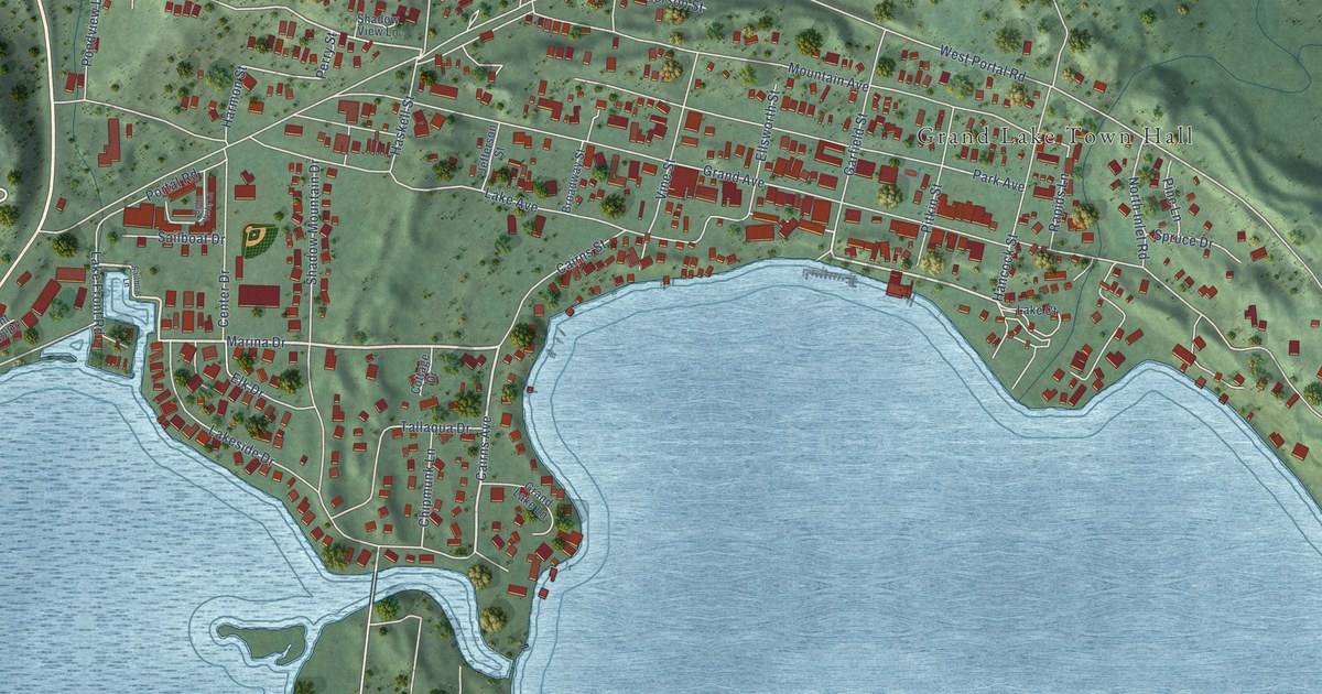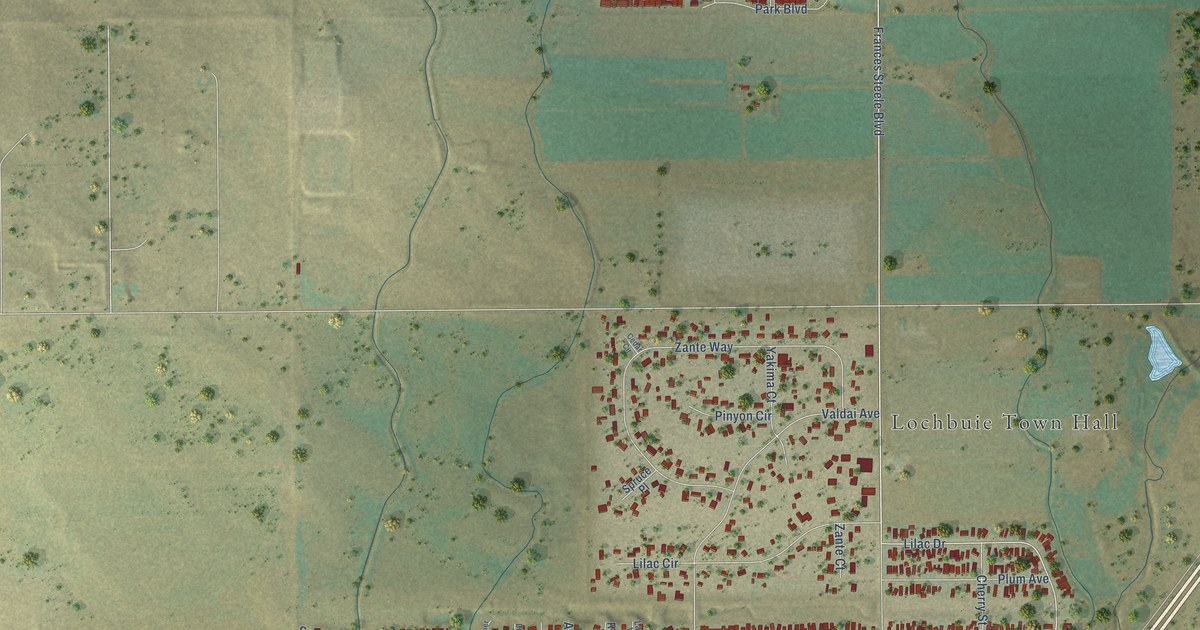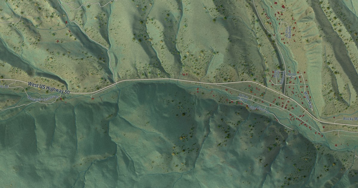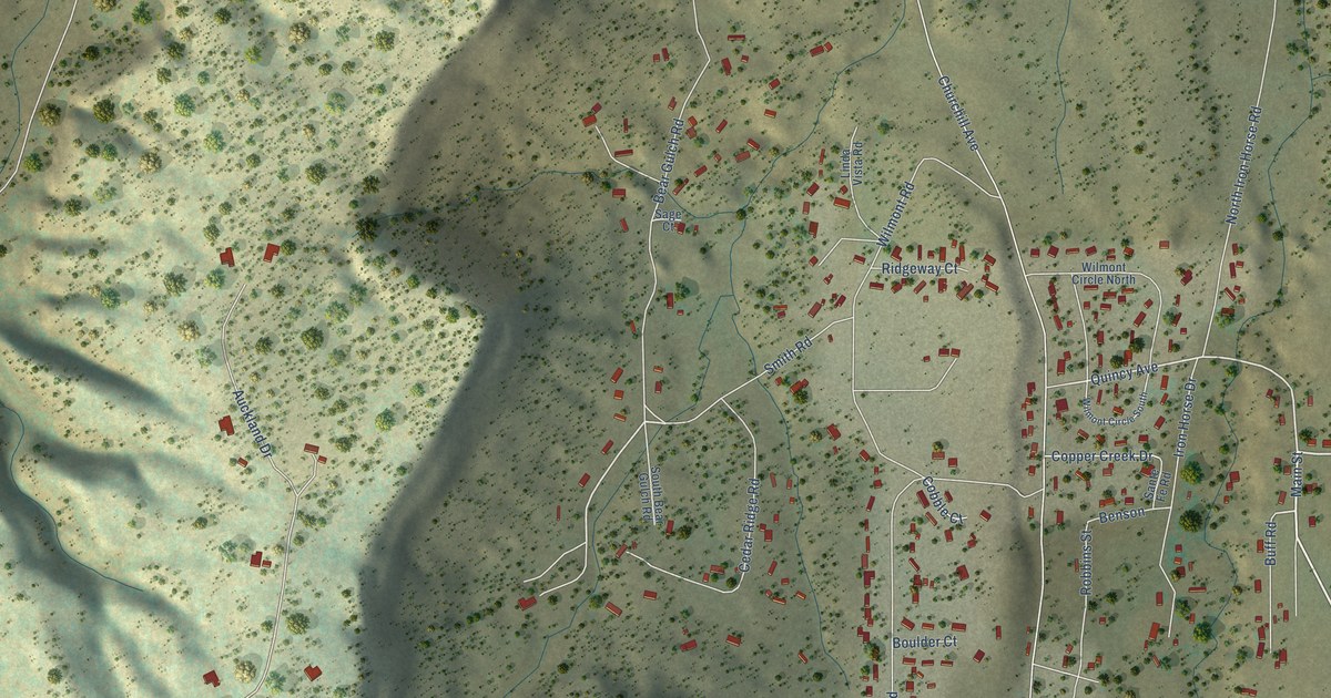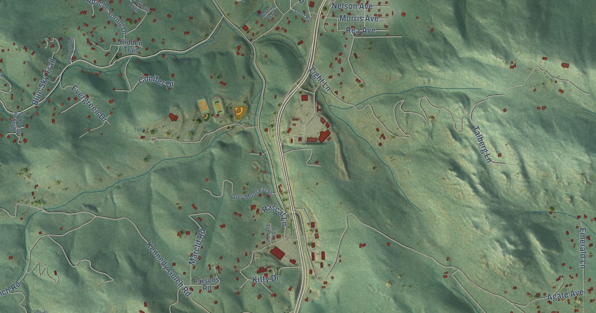
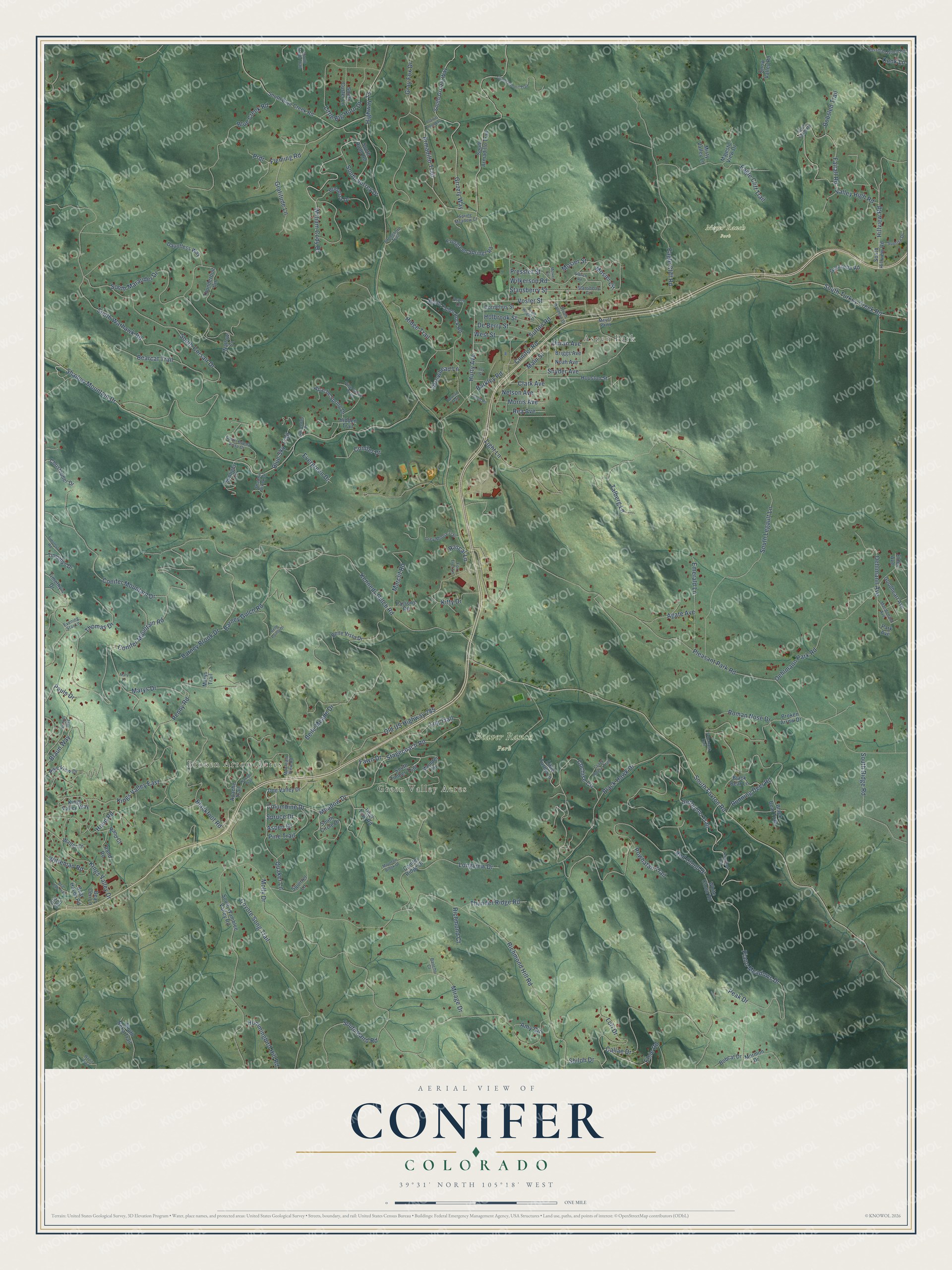
This beautifully detailed map of Conifer, Colorado was created in 2026 using aerial imagery combined with modern topographical, census, street and landmark data. It’s a one-of-a-kind view of Conifer that combines accurate data with a vintage aesthetic. The map shows every building in its true location, many of the roads carry their names, and the shaded topographic relief shows the shape of the land.
Explore an aerial view of Conifer, Colorado
On the map you’ll find Broken Arrow Acres, Aspen Park, Green Valley Acres, Beaver Ranch Park, and Meyer Ranch Park, along with Vosler Street, Hurty Avenue, Aspen Drive, Meadow Drive, Stagecoach Road, Fleming Road, Conifer Road, and more. If you look closely you can even find your house accurately drawn in its correct location. Zoom in on the preview to look for yours.
Take a closer look at the Conifer map
Names on this map
These names are printed on this map.
Places: Broken Arrow Acres, Aspen Park, Green Valley Acres, Beaver Ranch Park and Meyer Ranch Park.
Streets and roads: Vosler Street, Hurty Avenue, Aspen Drive, Meadow Drive, Stagecoach Road, Fleming Road, Conifer Road, Highway 73, Shadow Mountain Drive, Stansberry Street, South Foxton Road, Pleasant Park Road.
More street names, A to Z
Agate Avenue, Aldrich Road, Amy Circle, Apache Spring Drive, Apache Trail, Armadillo Trail, Arrowhead Lane, Aspen Lane, Barkley Road, Barney Brook Drive, Barney Gulch Road, Bearcat Trail, Bear Cub Trail, Bear Den Lane, Bear Haven Road, Belle Meade Drive, Belle Pointe Drive, Belle Vista Drive, Berrian Trail, Black Bear Lane, Black Bear Trail, Blackfoot Road, Black Hawk Drive, Blue Creek Road, Blue Sky Trail, Bobcat Drive, Bobsled Trail, Bonanza Drive, Braun Way, Briggs Avenue, Broken Arrow Drive, Callae Drive, Christopher Drive, Clark Avenue, Cochise Circle, Columbine Drive, Conifer Drive, Conifer Mountain Drive, Conifer Mountain Road, Conifer Ridge Drive, Cook Lane, Cornelius Street, Coyote Song Trail, Crazy Horse Trail, Dauntless Way, De Berry Street, Deer Trail Road, Doe Valley Drive, Duran Avenue, Eagle Cliff Road, Eagle Cliff Trail, Elder Avenue, Elsie Road, Emerald Lane, Evening Star Lane, Evergreen Drive, Evergreen Springs Road, Fairall Road, Fawn Drive, Fox Trot Lane, Geronimo Trail, Goodheart Avenue, Grand Summit Trail, Granzella Road, Gratitude Lane, Gray Fox Drive, Grey Moose Trail, Grizzly Way, Hidden Trail, Hillview Road, Holbrook Street, Hood Road, Houston Street, Hummingbird Hill Road, Joy Street, Kennedy Gulch Road, Kings Valley Drive, Kings Valley East, Kings Valley Way, Kitty Drive, Light Lane, Little Big Horn Drive, Little Turtle Lane, Log Trail, Longview Drive, Lori Drive, Macdonald Avenue, Main Street, Majestic View Drive, Marclif Road, Mary Lane, Marys Drive, Marys Trail, McIver Circle, Meyer Parkway, Mirage Drive, Misty Valley Lane, Molly Drive, Mormon Drive, Morris Avenue, Mosier Circle, Mosier Street, Mountain Brook Drive, Mountain View Road, Navajo Trail, Nelson Avenue, Nichols Way, Noah Avenue, Oehlmann Avenue, Oehlmann Park Road, Old 285, Old US Highway 285, Park Avenue, Parsons Road, Pauls Drive, Peak Drive, Penny Road, Piano Meadows Drive, Pike View Drive, Pine Grove Trail, Pine Trail, Powhatan Trail, Prairie Dog Way, Prdr, Pressler Street, Pronghorn Trail, Quaker Lane, Rancho Court, Rand Court, Rand Road, Rascal Lane, Rea Avenue, Red Cloud Drive, Richmond Court, Richmond Hill Road, Ridge Trail, Roman Nose Drive, Rossman Gulch Road, Running Deer Road, Scott Road, Shadow Brook Drive, Shiloh Drive, Snow Valley Road, Snyder Avenue, South Alsab Trail, South Armadillo Trail, South Baird Road, South Blue Creek Road, South Buena Vista Drive, South Circle Drive, South Corsair Drive, South Custer Lane, South Dallman Drive, South Fairall Road, South Fallen Rock Road, South Grizzly Way, South Hillview Road, South Legault Lane, South Marauder Drive, South Noka Trail, South Ridge Road, South Rudd Road, South Surrey Drive, South Timber Trail, South Turkey Creek Road, South Wamblee Valley Road, South Warhawk Road, South Wright Drive, Spring Meadow Court, Sprucedale Drive, Spruce Drive, Squirrel Lane, Stansberry Circle, Sunlight Lane, Sunrise Drive, Sutton Road, Talberg Lane, Tecumseh Trail, Thomas Drive, Thunderbolt Circle, Thunder Ridge Road, Timothy's Drive, Timothys Drive, Timothys Road, Tomahawk Trail, Valley High Road, Wallow Court, Walter Drive, Wapiti Trail, West Street, White Cloud Road, Wilkerson Road, William Cody Drive, Witteman Road, Wonder Drive.
See it on a wall
The Conifer map as a framed print. Swipe for more.


This beautifully detailed map of Conifer makes an attractive addition to your office, library, or den, and it can even be used to teach children the geography and history of the area. It also makes a great gift for anyone who grew up in Conifer or moved away. When you’re done exploring, click here to get your copy of the Conifer map.