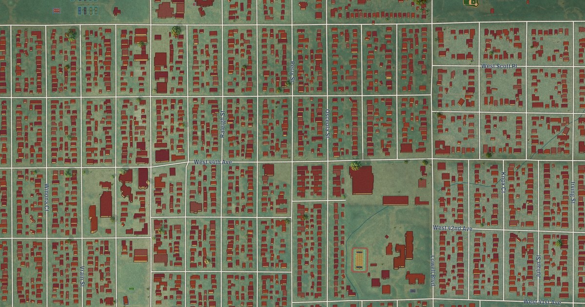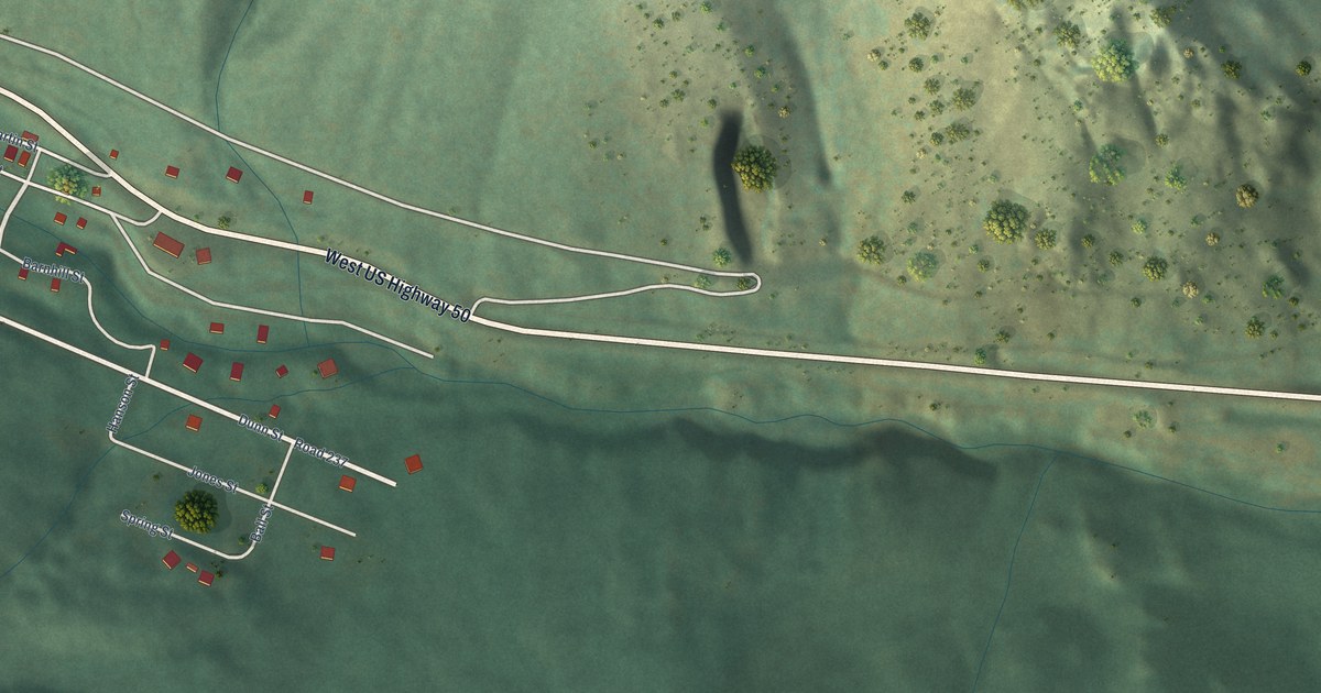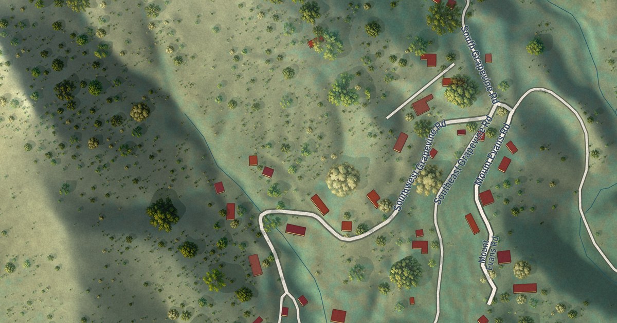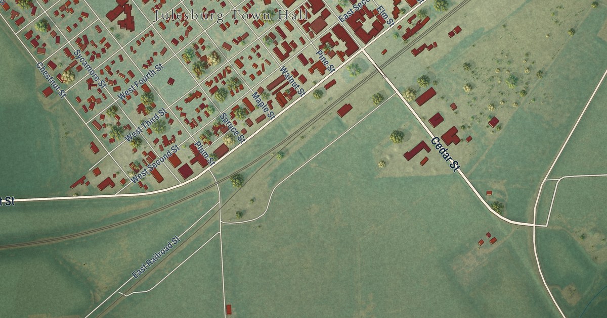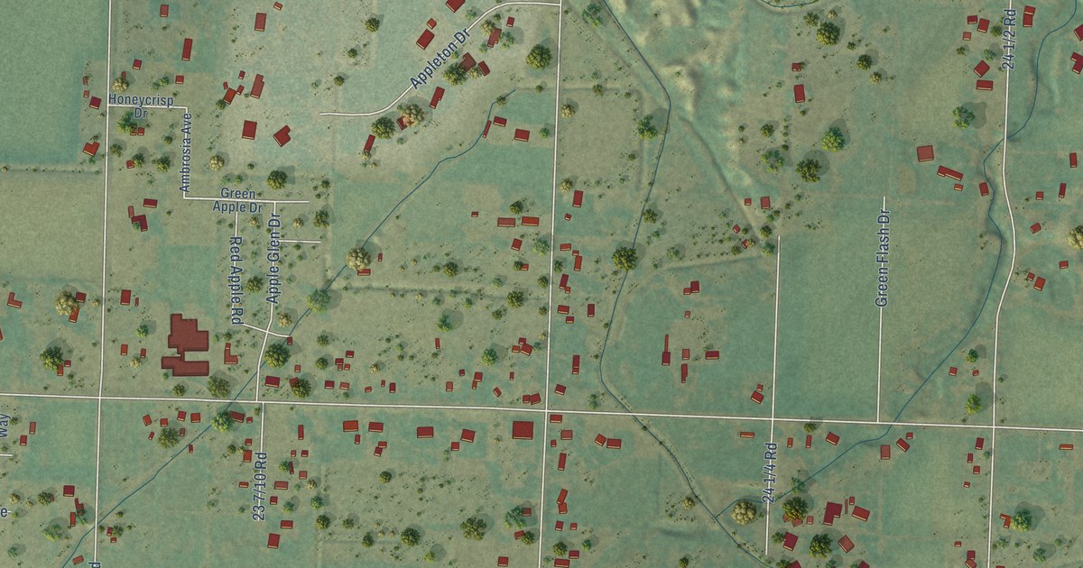
This beautifully detailed map of Appleton, Colorado was created in 2026 using aerial imagery combined with modern topographical, census, street and landmark data. It’s a one-of-a-kind view of Appleton that combines accurate data with a vintage aesthetic. The map shows every building in its true location, many of the roads carry their names, and the shaded topographic relief shows the shape of the land.
Explore an aerial view of Appleton, Colorado
On the map you’ll find Canyon View Park, along with 24 Road, Park Vista Street, Abas Drive, Lake Park Drive, Copper Crest Drive, Theresea Lane, Willow Creek Road, Adventure Lane, 23 Road, 25 Road, 24 1/2 Road, and more. If you look closely you can even find your house accurately drawn in its correct location. Zoom in on the preview to look for yours.
Did You Know?
From Internet Archive: "During her last year at school, and for a year afterward, she corresponded and vwote for Eastern papers and magazines, among them Appleton's, Peterson's and the New York Sun."
Appleton is a community in Mesa County.
Take a closer look at the Appleton map
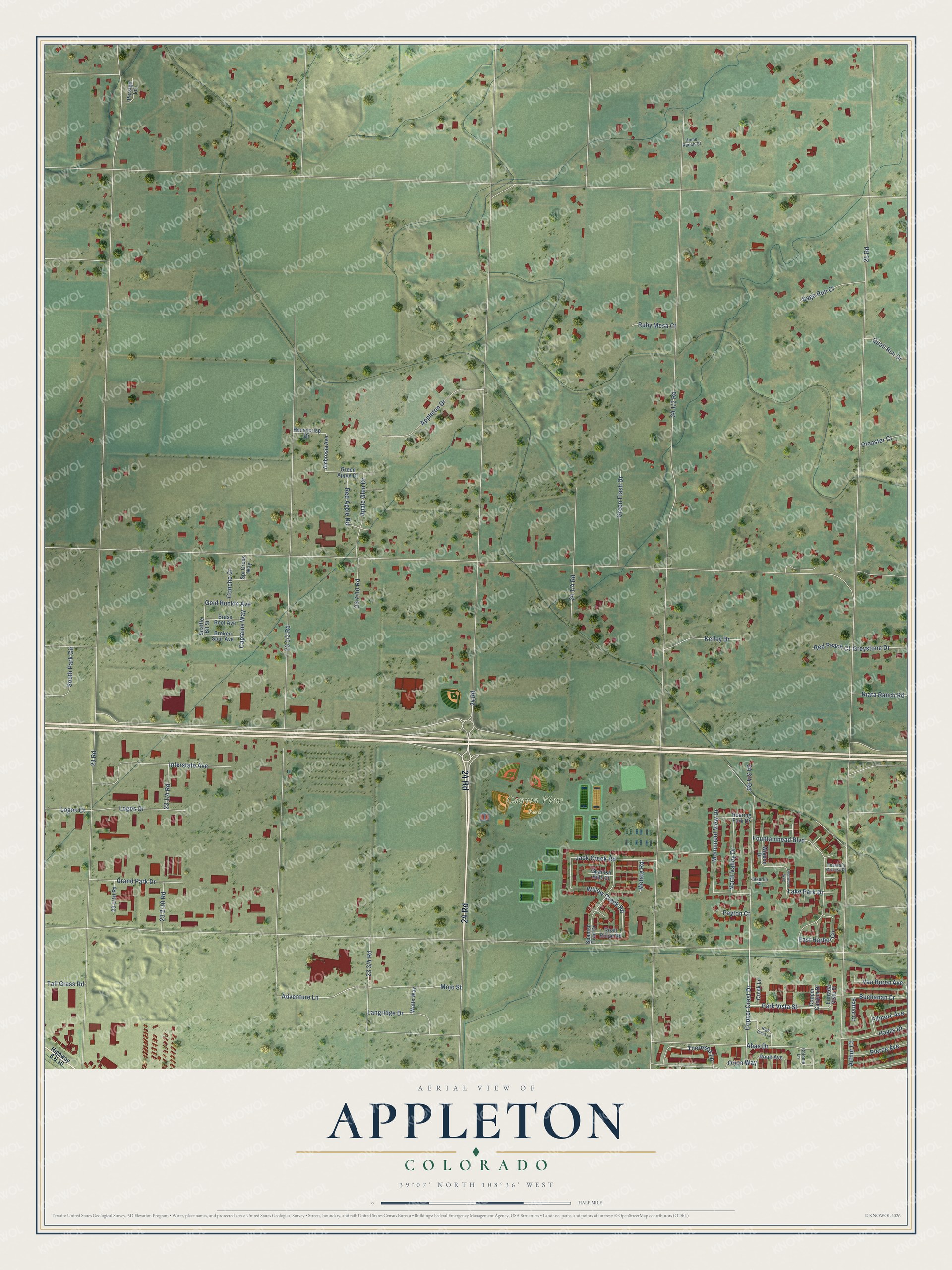
Names on this map
These names are printed on this map.
Places: Canyon View Park.
Streets and roads: 24 Road, Park Vista Street, Abas Drive, Lake Park Drive, Copper Crest Drive, Theresea Lane, Willow Creek Road, Adventure Lane, 23 Road, 25 Road, Fountainhead Boulevard, Interstate Avenue.
More street names, A to Z
Ambrosia Avenue, Apple Glen Drive, Appleton Drive, Arthur Court, Brass Boot Avenue, Broken Spur Avenue, Buchanan Drive, Captains Way, Colonia Lane, Concho Court, Copper Canyon Drive, Creek Lane, East Harbor Circle, Entrada Vista Street, Filmore Avenue, Fountain Greens Place, Gold Buckle Avenue, Grand Park Drive, Green Apple Drive, Green Flash Drive, Greystone Drive, Hayes Drive, High Pines Lane, Highway 6 & 50, Home Ranch Court, Honeycrisp Drive, Jack Creek Road, Jakarlin Court, Kelley Drive, Langridge Drive, Lochwood Way, Logos Court, Logos Drive, Metate Road, Mojo Street, Monument View Drive, North Valley Drive, Oleaster Court, Orion Way, Patriot Court, Payton Court, Persigo Lane, Pierce Avenue, Quail Run Drive, Red Apple Road, Red Peach Court, Riata Ranch Road, Roan Ridge Road, Roaring Fork Drive, Routt Avenue, Ruby Mesa Court, Sage Run Court, Snaffle Bit Street, South Park Circle, Spanish Hills Court, Spanish Trail Drive, Spr Cross Way, Tall Grass Road, Van Buren Avenue, Watts Way, Wigeon Drive.
See it on a wall
The Appleton map as a framed print. Swipe for more.


This beautifully detailed map of Appleton makes an attractive addition to your office, library, or den, and it can even be used to teach children the geography and history of the area. It also makes a great gift for anyone who grew up in Appleton or moved away. When you’re done exploring, click here to get your copy of the Appleton map.