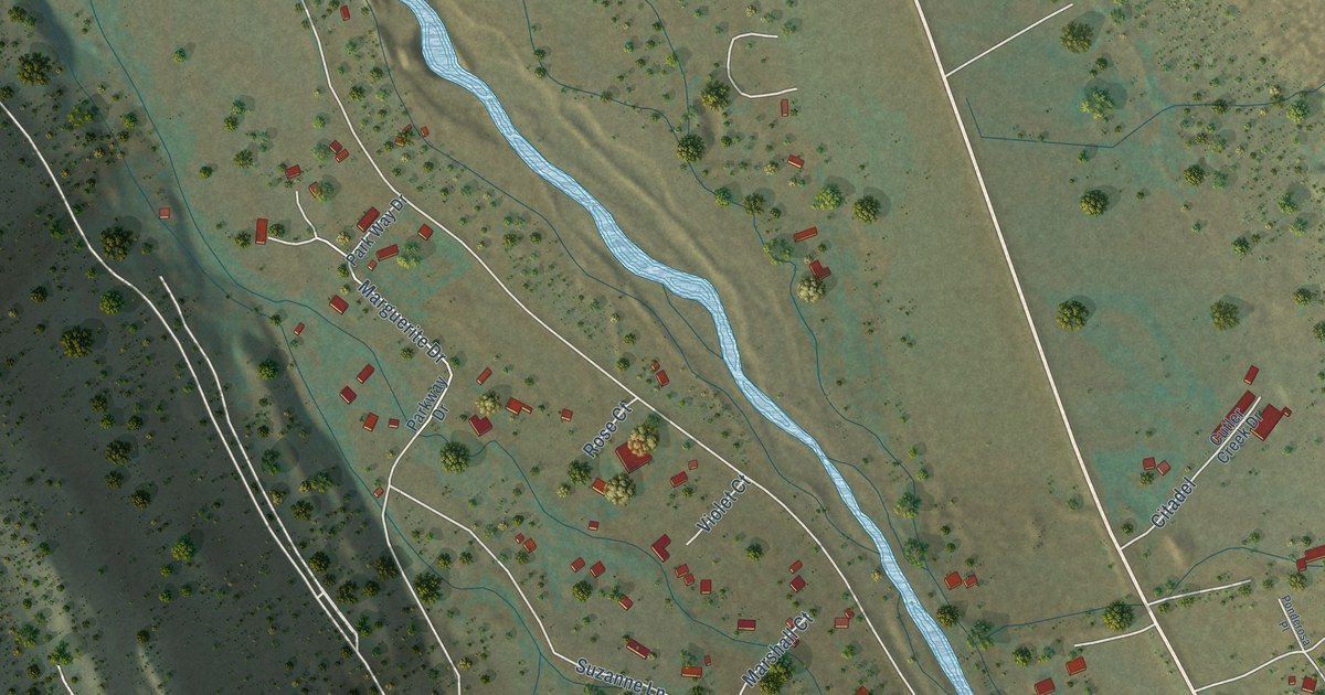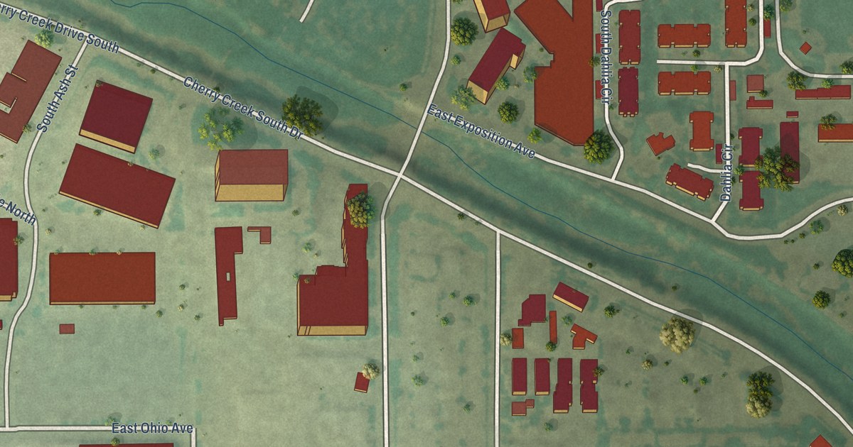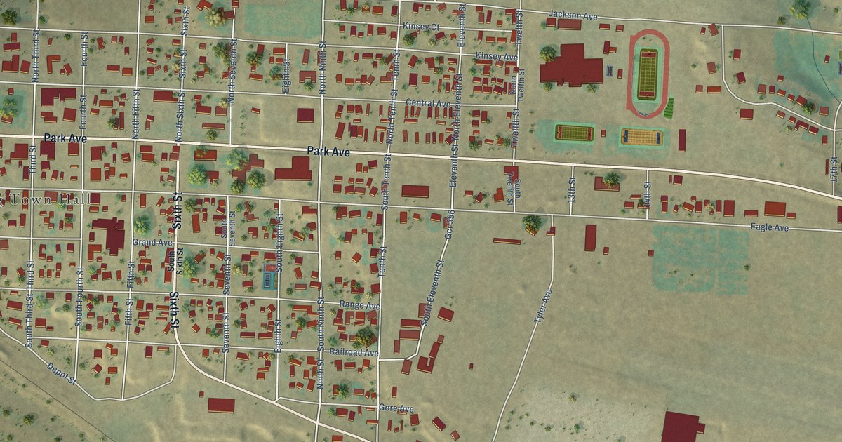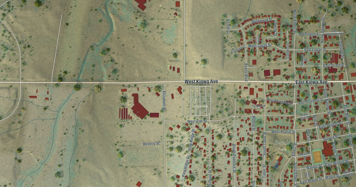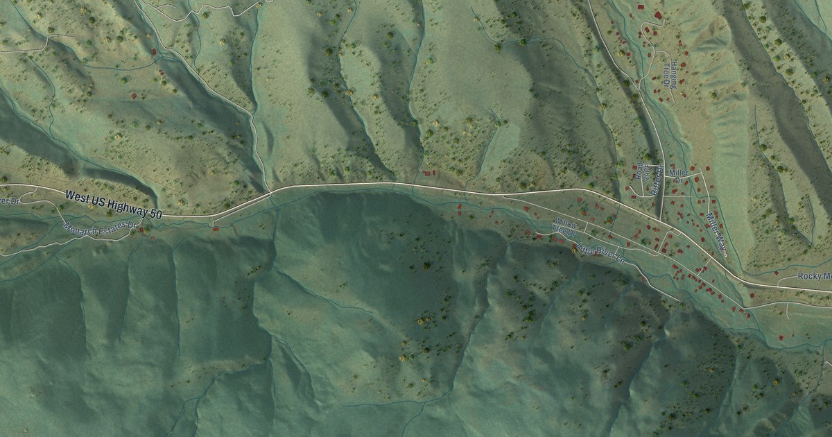
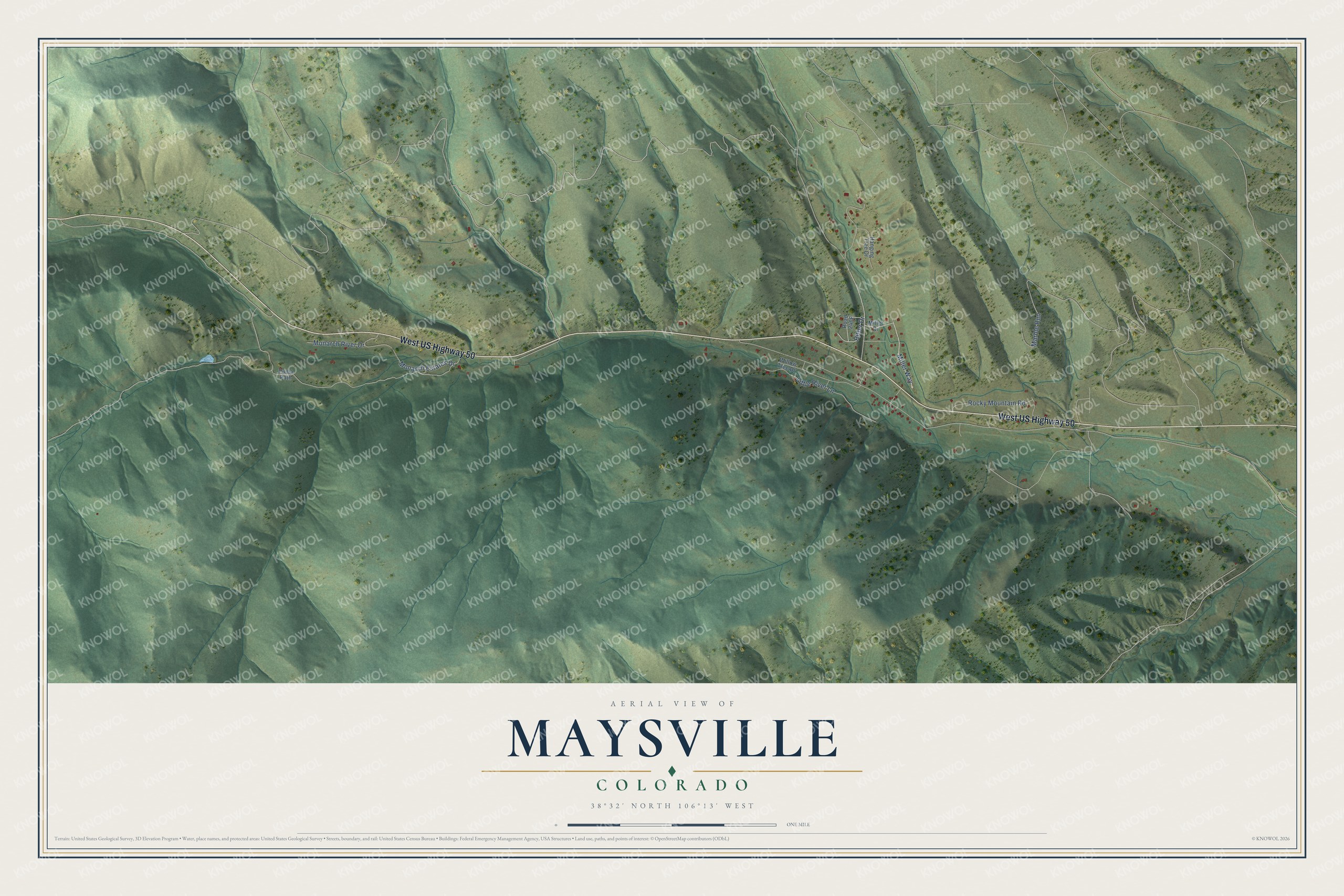
This beautifully detailed map of Maysville, Colorado was created in 2026 using aerial imagery combined with modern topographical, census, street and landmark data. It's a modern aerial view of Maysville in Chaffee County, Colorado, that combines modern data with a vintage aesthetic. The roads feature printed names, and if you look closely you can find your exact house accurately shown in its correct location.
Explore an aerial view of Maysville, Colorado
On this map you'll find West US Highway 50, Miller Way, Little River Lane, Monarch Estates Drive, Marble Run, Rocky Mountain Road, Monarch River Drive, Ritter Drive, Willow Tree Drive, Hanging Tree Drive, Road 240F, Puma Path, and more. Each red shape is a building, so zoom in on the preview and look for yours.
Here is a piece of Maysville history. Maysville began in the 1870s as a stock ranch where the North Fork meets the South Arkansas River, six miles west of Poncha Springs. Mineral strikes up toward Monarch Pass made it a mining supply town, and between 1879 and 1880 it was the fastest growing community in the area and was considered for county seat of Chaffee County. At its height the town had a hardware store, a lumber yard, two hotels, a bank and several stores, and the Denver and Rio Grande put a depot and engine house there. After the silver crash of 1893 most people moved away. That's from the National Register of Historic Places.
Maysville is a community in Chaffee County. The Census Bureau counted 173 people here in 2020.
Take a closer look at the Maysville map
Names on this map
These names are printed on this map.
Streets and roads: West US Highway 50, Miller Way, Little River Lane, Monarch Estates Drive, Marble Run, Rocky Mountain Road, Monarch River Drive, Ritter Drive, Willow Tree Drive, Hanging Tree Drive, Puma Path and Miller Drive.
See it on a wall
The Maysville map as a framed print. Swipe for more.


Created by KNOWOL in 2026. The buildings are small red shapes, the roads carry their printed names, and shaded relief shows the shape of the land. The title panel reads "AERIAL VIEW OF MAYSVILLE, COLORADO" with 38°32' NORTH 106°13' WEST.
It suits a den, a classroom or a front hall, and it makes a gift for anyone with Maysville roots. Open the preview and find the block you know. See sizes and frames for the Maysville map.