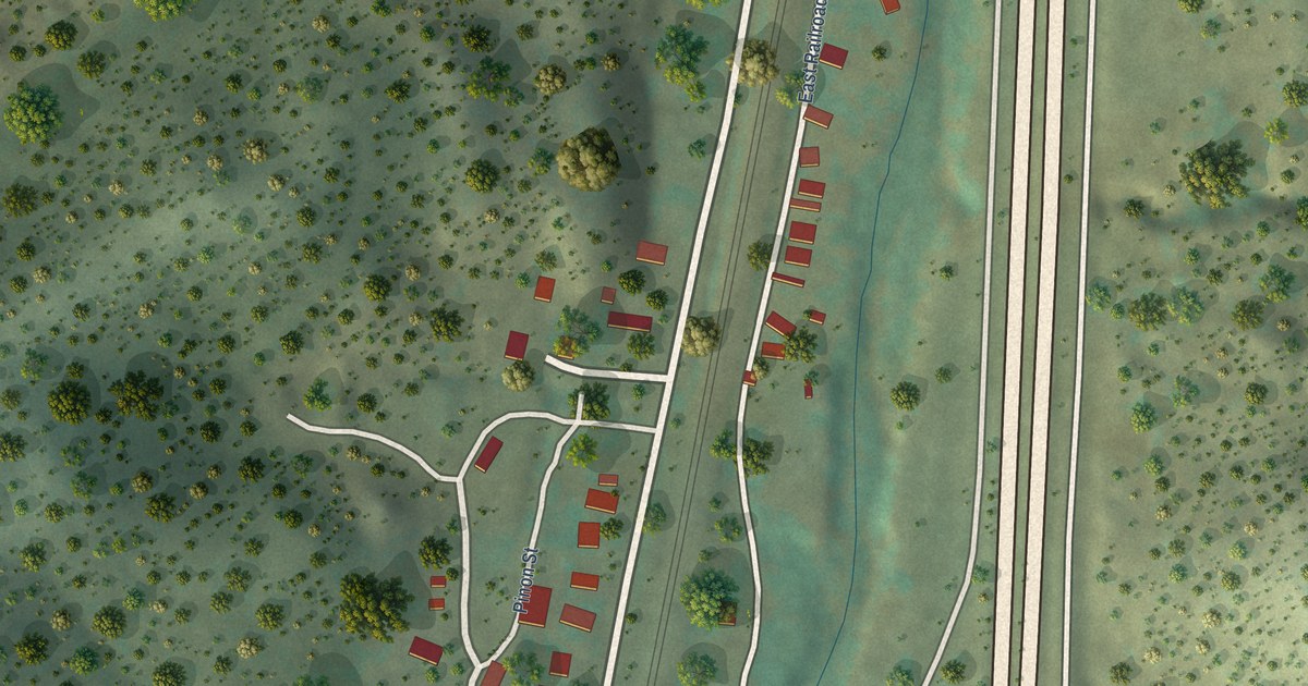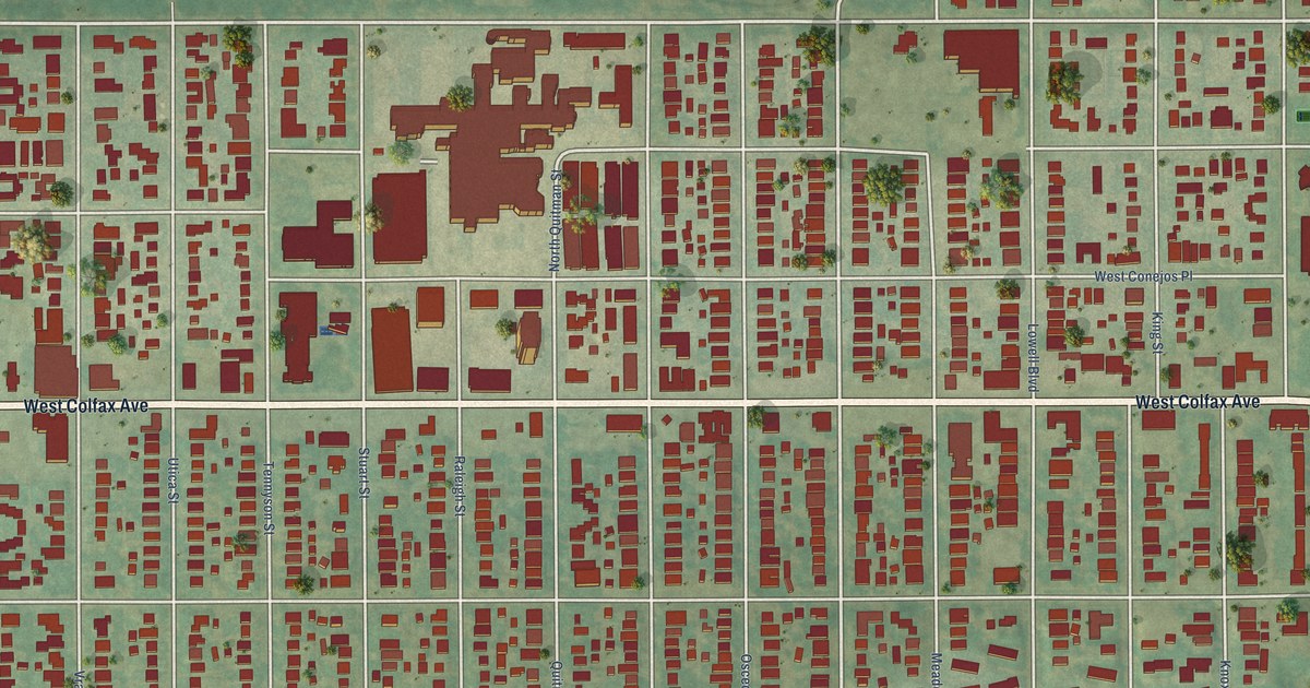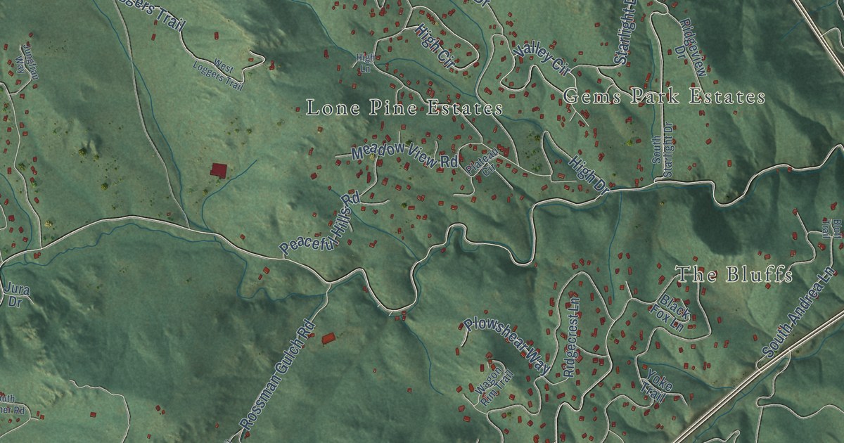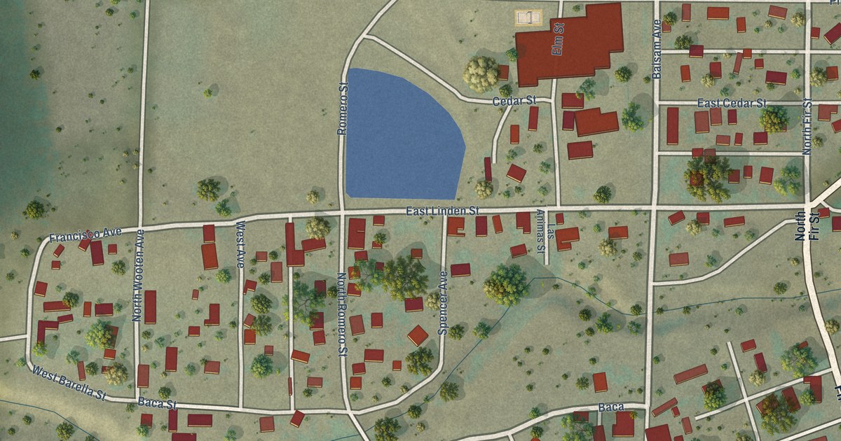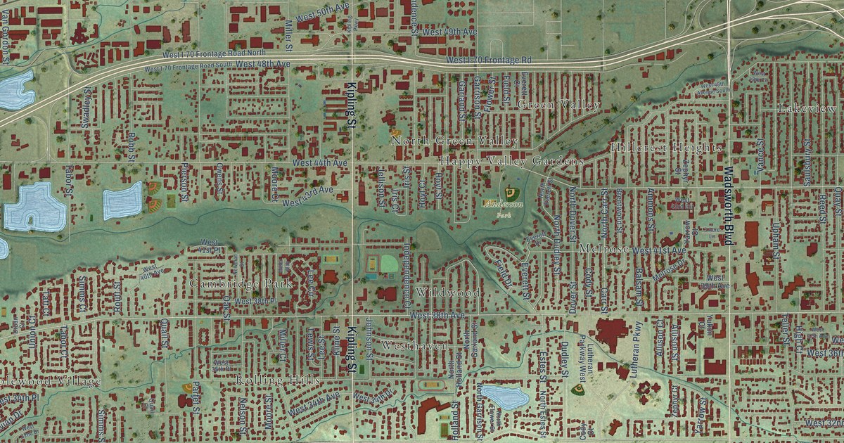
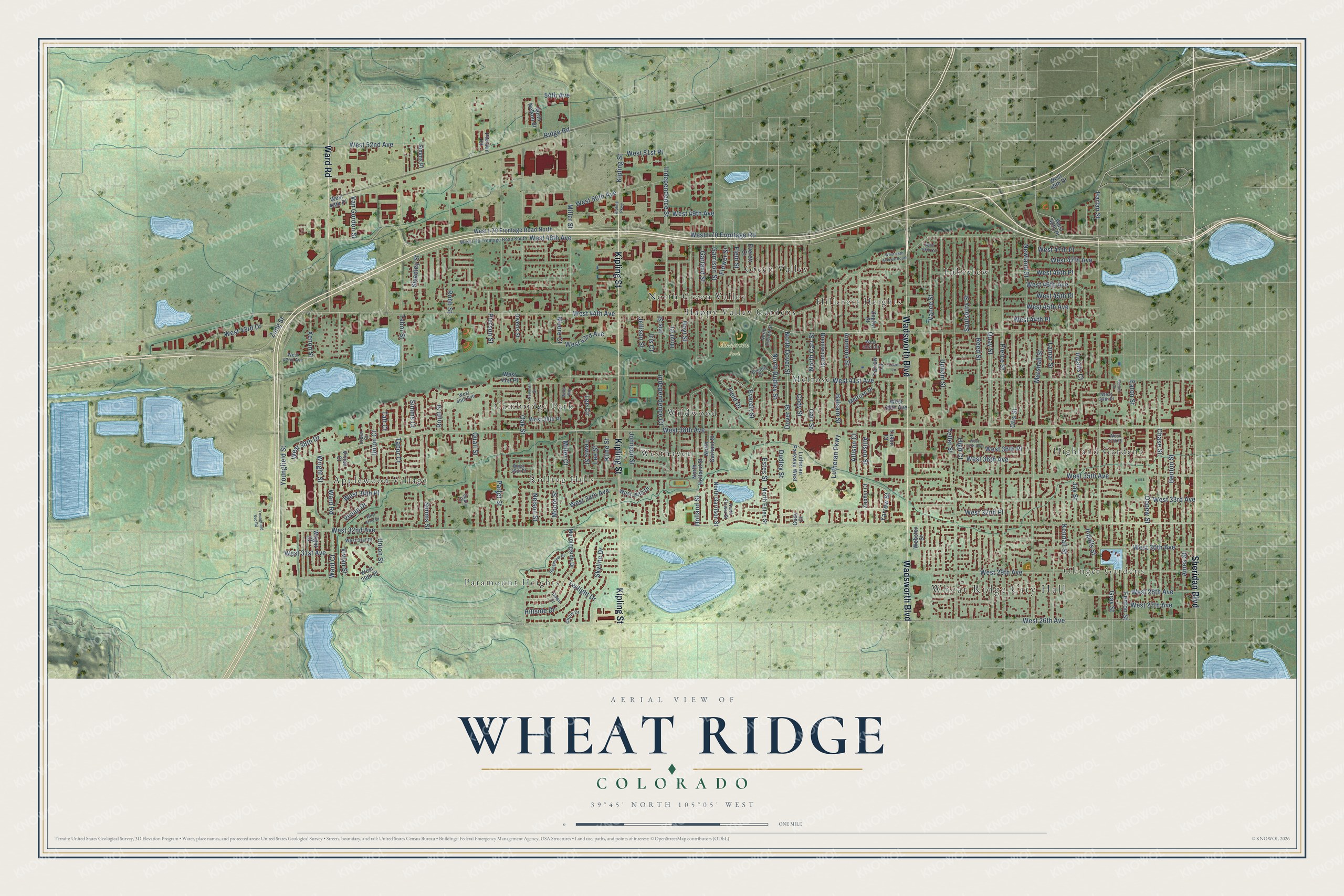
This beautifully detailed map of Wheat Ridge, Colorado was created in 2026 using aerial imagery combined with modern topographical, census, street and landmark data. It’s a one-of-a-kind view of Wheat Ridge that combines accurate data with a vintage aesthetic. The map shows every building in its true location, many of the roads carry their names, and the shaded topographic relief shows the shape of the land.
Explore an aerial view of Wheat Ridge, Colorado
On the map you’ll find Wheat Ridge City Hall, Olinger Gardens, Anderson Park, Applewood Village, Cambridge Park, Green Valley, Happy Valley Gardens, Highland Gardens, Hillcrest Heights, Lakeview, Melrose, North Green Valley, and more. If you look closely you can even find your house accurately drawn in its correct location. Zoom in on the preview to look for yours.
Did you know this piece of Wheat Ridge, Colorado history?
From the Colorado Encyclopedia: "The farms that became the basis for the town of Wheat Ridge were also established in 1859."
Take a closer look at the Wheat Ridge map
Street and place names on the Wheat Ridge, Colorado map
These names are printed on the map of Wheat Ridge, Colorado.
Places: Wheat Ridge City Hall, Olinger Gardens, Anderson Park, Applewood Village, Cambridge Park, Green Valley, Happy Valley Gardens, Highland Gardens, Hillcrest Heights, Lakeview, Melrose, North Green Valley, Paramount Heights, Rolling Hills, Westhaven and Wildwood.
Streets and roads: Wadsworth Boulevard, Kipling Street, Sheridan Boulevard, Ward Road, West 32nd Avenue, Harlan Street, West 48th Avenue, Ames Street, Chase Street, Lamar Street, West 38th Avenue, West 35th Avenue.
More street names, A to Z
3 Acre Lane, 54th Avenue, Allison Court, Allison Street, Ammons Street, Balsam Street, Benton Street, Brentwood Street, Carr Street, Circle Drive, Cody Court, Cody Street, Dawn Court, Depew Street, Dover Street, Dudley Street, Eaton Street, Estes Street, Everett Court, Everett Drive, Everett Street, Fenton Court, Fenton Street, Field Drive, Field Street, Flower Street, Garland Street, Garrison Street, Gray Street, High Court, Hillside Drive, Holland Street, Hoyt Court, Hoyt Street, Independence Court, Independence Street, Ingalls Court, Ingalls Street, Iris Court, Iris Street, Jay Street, Jellison Street, Johnson Street, Kendall Street, Kipling Parkway, Kline Street, Lee Circle, Lee Street, Lewis Street, Lutheran Parkway, Lutheran Parkway West, Marshall Street, Melrose Drive, Miller Court, Miller Street, Miller Way, Moore Court, Moore Street, Morningside Drive, Nelson Street, Newland Street, Newman Street, North Carr Street, North Dover Street, North Dudley Street, North Estes Street, North Everett Street, North Flower Street, North Garland Street, North Garrison Street, North Holland Street, North Nelson Street, Oak Street, Otis Street, Owens Street, Parfet Street, Pierce Street, Pierson Court, Pierson Street, Quail Court, Quail Street, Quay Street, Rangeview Drive, Reed Street, Ridge Road, Robb Street, Routt Street, Saulsbury Street, Simms Court, Simms Place, Simms Street, Skyline Drive, Swadley Street, Tabor Court, Tabor Street, Taft Court, Teller Street, Twilight Drive, Union Court, Union Street, Upham Street, Urban Court, Vance Street, Van Gordon Street, Vivian Court, Vivian Drive, Vivian Street, Ward Court, Webster Street, West 26th Avenue, West 27th Avenue, West 28th Avenue, West 29th Avenue, West 29th Place, West 30th Avenue, West 31st Avenue, West 31st Place, West 32nd Drive, West 32nd Place, West 33rd Avenue, West 34th Avenue, West 34th Drive, West 34th Place, West 35th Place, West 36th Avenue, West 36th Place, West 37th Avenue, West 37th Place, West 38th Drive, West 38th Place, West 39th Avenue, West 39th Place, West 40th Avenue, West 41st Avenue, West 41st Place, West 42nd Avenue, West 43rd Avenue, West 43rd Circle, West 43rd Drive, West 44th Avenue, West 44th Place, West 45th Avenue, West 45th Place, West 46th Avenue, West 46th Place, West 47th Avenue, West 47th Place, West 48th Avenue South, West 48th Circle, West 48th Place, West 49th Avenue, West 49th Drive, West 49th Place, West 50th Avenue, West 51st Place, West 52nd Avenue, West I-70 Frontage Road, West I-70 Frontage Road North, West I-70 Frontage Road South, Wright Court, Wright Street, Xenon Street, Yarrow Court, Yarrow Street, Youngfield Street, Youngfield Svc Road, Yukon Court, Zang Street, Zephyr Court, Zephyr Street.
See the Wheat Ridge, Colorado map on a wall
The Wheat Ridge map as an 18 x 24 inch print in a black frame.

This beautifully detailed map of Wheat Ridge makes an attractive addition to your office, library, or den, and it can even be used to teach children the geography and history of the area. It also makes a great gift for anyone who grew up in Wheat Ridge or moved away. When you’re done exploring, click here to get your copy of the Wheat Ridge map.