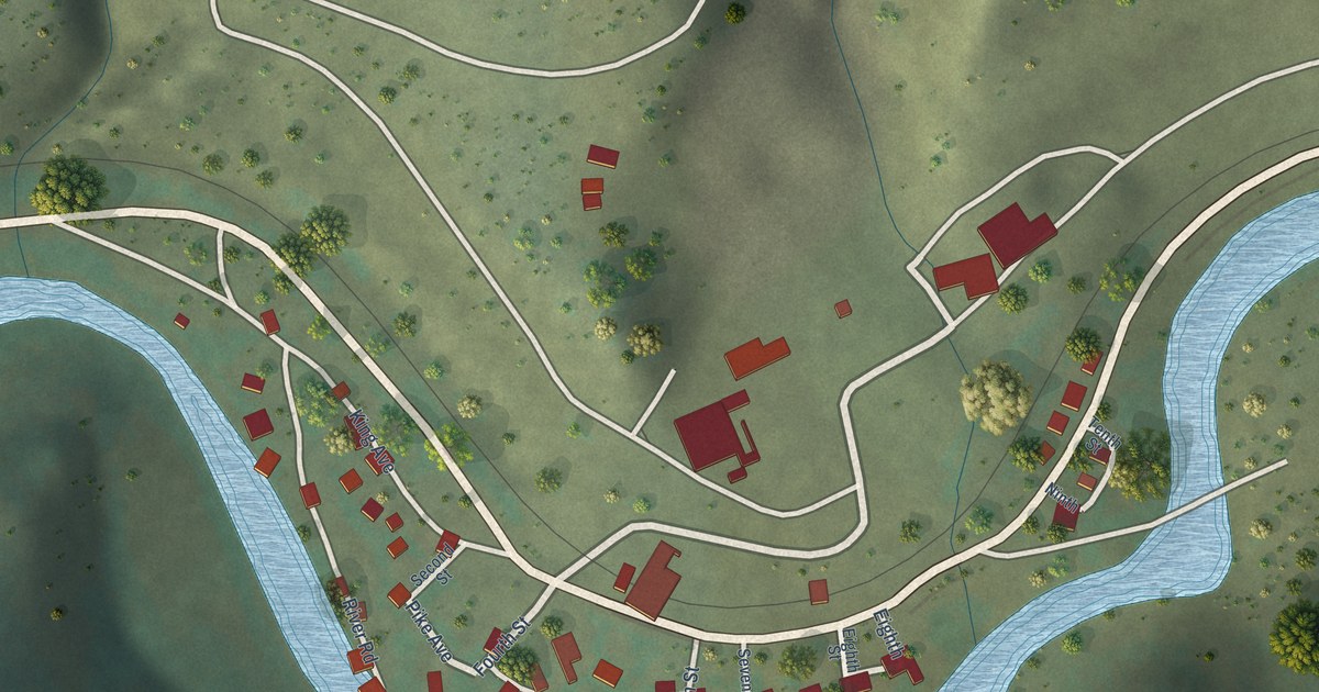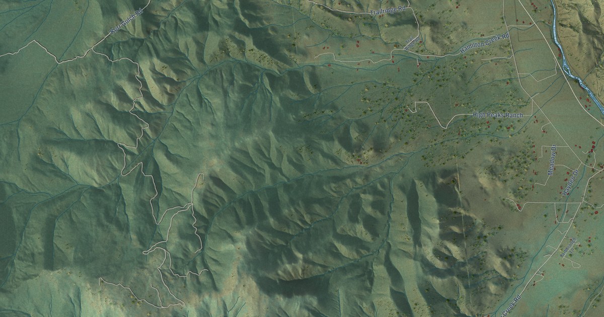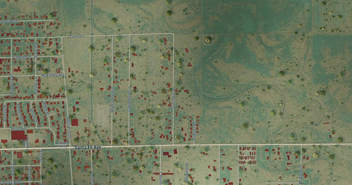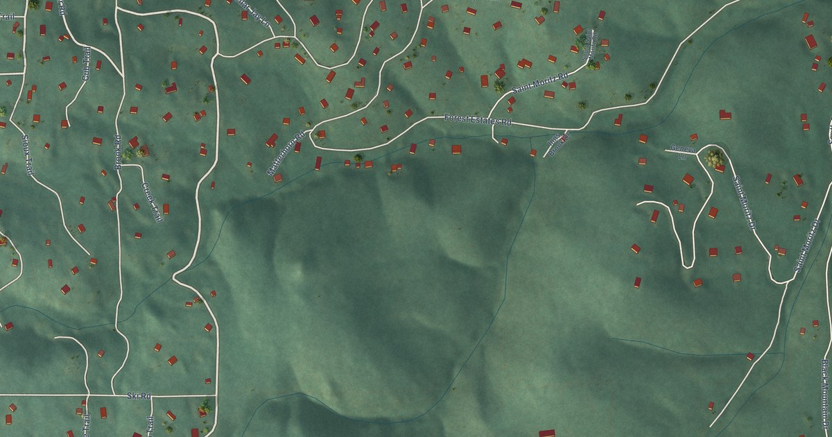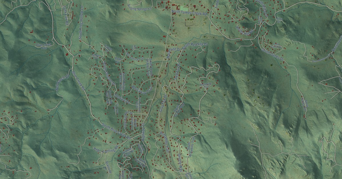
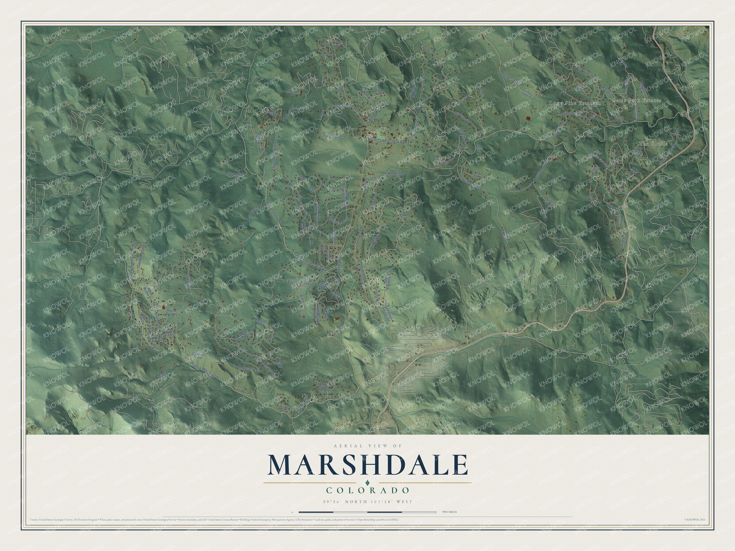
This beautifully detailed map of Marshdale, Colorado was created in 2026 using aerial imagery combined with modern topographical, census, street and landmark data. It’s a one-of-a-kind view of Marshdale that combines accurate data with a vintage aesthetic. The map shows every building in its true location, many of the roads carry their names, and the shaded topographic relief shows the shape of the land.
Explore an aerial view of Marshdale, Colorado
On the map you’ll find The Bluffs, Gems Park Estates, and Lone Pine Estates, along with Shadow Mountain Drive, South London Lane, Blue Creek Road, Bell Ranch Road, South Martin Lane, Fleming Road, North Turkey Creek Road, Armadillo Trail, South Blue Creek Road, and more. If you look closely you can even find your house accurately drawn in its correct location. Zoom in on the preview to look for yours.
Take a closer look at the Marshdale map
Names on this map
These names are printed on this map.
Places: The Bluffs, Gems Park Estates and Lone Pine Estates.
Streets and roads: Shadow Mountain Drive, South London Lane, Blue Creek Road, Bell Ranch Road, South Martin Lane, Fleming Road, North Turkey Creek Road, Armadillo Trail, South Blue Creek Road, High Drive, Rossman Gulch Road, Black Mountain Drive.
More street names, A to Z
Alabraska Drive, Alabraska Lane, Apache Spring Drive, Bearcat Trail, Berry Bush Lane, Bison Meadow Trail, Black Fox Lane, Black Widow Drive, Blue Creek Trail, Blue Jay Road, Blue Sky Trail, Bluff Trail, Bold Lane, Bonanza Drive, Cavan Lane, Centaur Drive, Cragmont Drive, Dauntless Way, Elk Path Way, Evergreen Springs Road, Falcon Ridge Drive, Fara Way, Gratitude Lane, Gray Fox Drive, Griffin Drive, Grizzly Way, Happy Hill Road, Heiter Hill Road, High Circle, High Lane, Highway 73, Hilltop Road, Hi View Drive, Hi View Road, Inspire Road, Jungfrau Drive, Jungfrau Way, Jura Drive, Krashin Drive, Lila Drive, Little Big Horn Drive, Little Cub Creek Road, Loggers Trail, London Lane, Lynx Lair Road, Malamute Drive, Marshmerry Lane, Meadow Lane, Meadow View Road, Mountain Ranch Road, Needles Trail, Northway Drive, Olympus Drive, Park Street, Peaceful Hills Road, Pioneer Way, Plateau Circle, Plowshear Way, Prdr, Priat Drive, Red Fox Drive, Ridgecrest Lane, Ridgeview Drive, Sandy Lane, Settlers Drive, Shadow Forest, Silverhorn Drive, Singing Springs Lane, Snow Valley Road, Sourdough Drive, South Alsab Trail, South Andrea Lane, South Annapurna Drive, South Armadillo Trail, South Buena Vista Drive, South Centaur Drive, South Citation Trail, South Corsair Drive, South Custer Lane, South Danks Drive, South Frog Hollow Lane, South Gartner Road, South Grizzly Way, South Jill Drive, South Julie Lane, South Kiem Road, South Kilimanjaro Drive, South Marauder Drive, South Native Dancer Trail, South Peace Chance Trail, South Prairie Lane, South Red Fox Drive, South Rex Lane, South Rudd Road, South Settlers Drive, South Starlight Drive, South Surrey Drive, South Tim Tam Trail, South Valley Drive, South Warhawk Road, South Willa Lane, South William Cody Drive, Spruce Lane, Starlight Drive, Thunderbolt Circle, Timbers Drive, Twin Ponds Trail, Valley Circle, Vito Trail, Wagon Rim Trail, Wallow Court, War Admiral Trail, West Loggers Trail, Whirlaway Trail, William Cody Drive, Wolverine Trail, Yoke Trail.
See it on a wall
The Marshdale map as a framed print. Swipe for more.


This beautifully detailed map of Marshdale makes an attractive addition to your office, library, or den, and it can even be used to teach children the geography and history of the area. It also makes a great gift for anyone with Marshdale roots. When you’re done exploring, click here to get your copy of the Marshdale map.