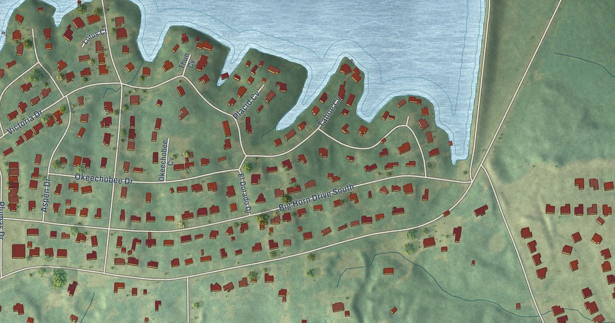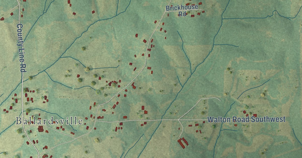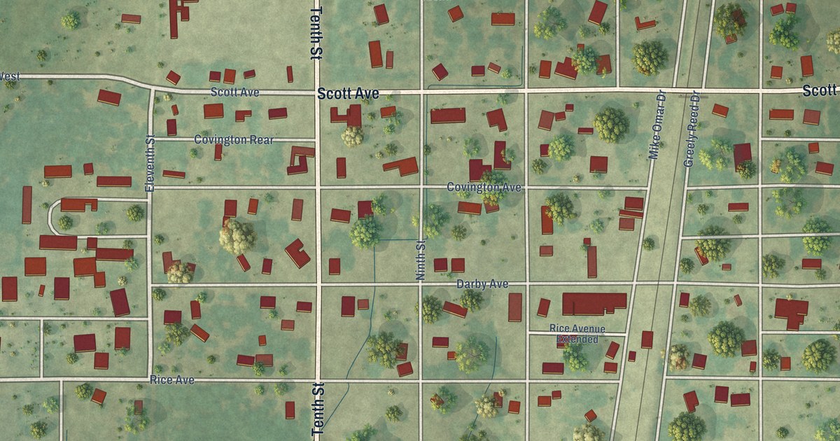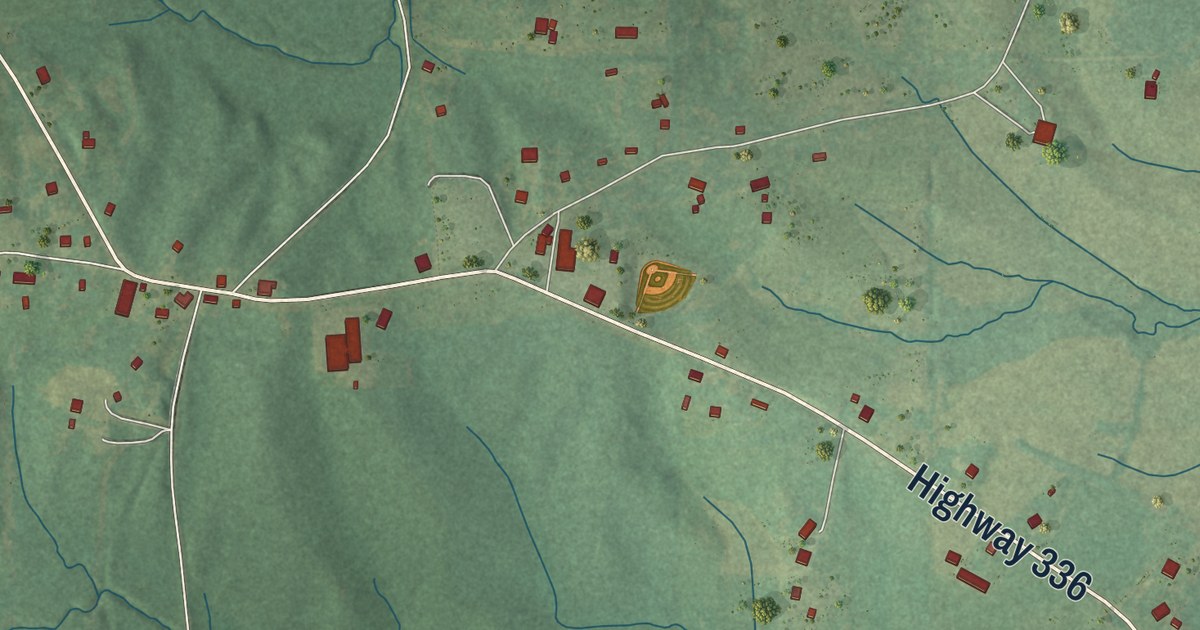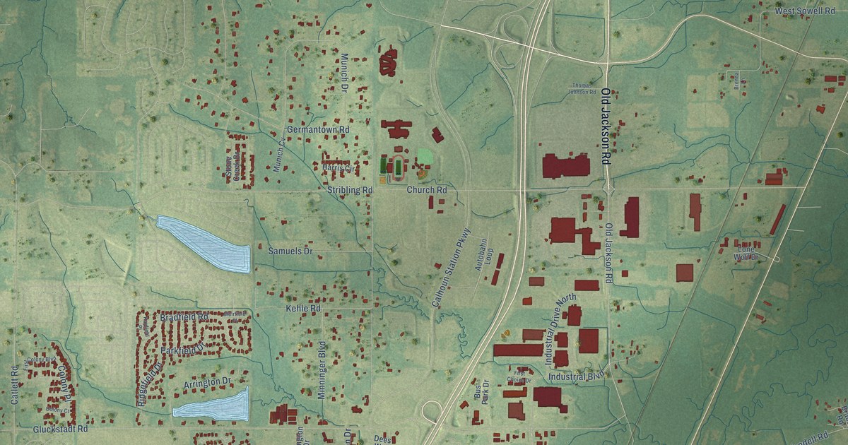
This beautifully detailed map of Gluckstadt, Mississippi was created in 2026 using aerial imagery combined with modern topographical, census, street and landmark data. It’s a one-of-a-kind view of Gluckstadt that combines accurate data with a vintage aesthetic. The map shows every building in its true location, many of the roads carry their names, and the shaded topographic relief shows the shape of the land.
Explore an aerial view of Gluckstadt, Mississippi
On the map you’ll find Deerwood Crossing, along with Old Jackson Road, Weisenberger Road, Parkway East, Gluckstadt Road, Church Road, Yandell Road, Calhoun Station Parkway, Stout Road, Germantown Road, Munich Drive, West Sowell Road, and more. If you look closely you can even find your house accurately drawn in its correct location. Zoom in on the preview to look for yours.
Did you know this piece of Gluckstadt, Mississippi history?
From the Mississippi Catholic: "The Gluckstadt community was founded in 1905 by German immigrants. Many of the descendants of the original families still attend St. Joseph."
Take a closer look at the Gluckstadt map
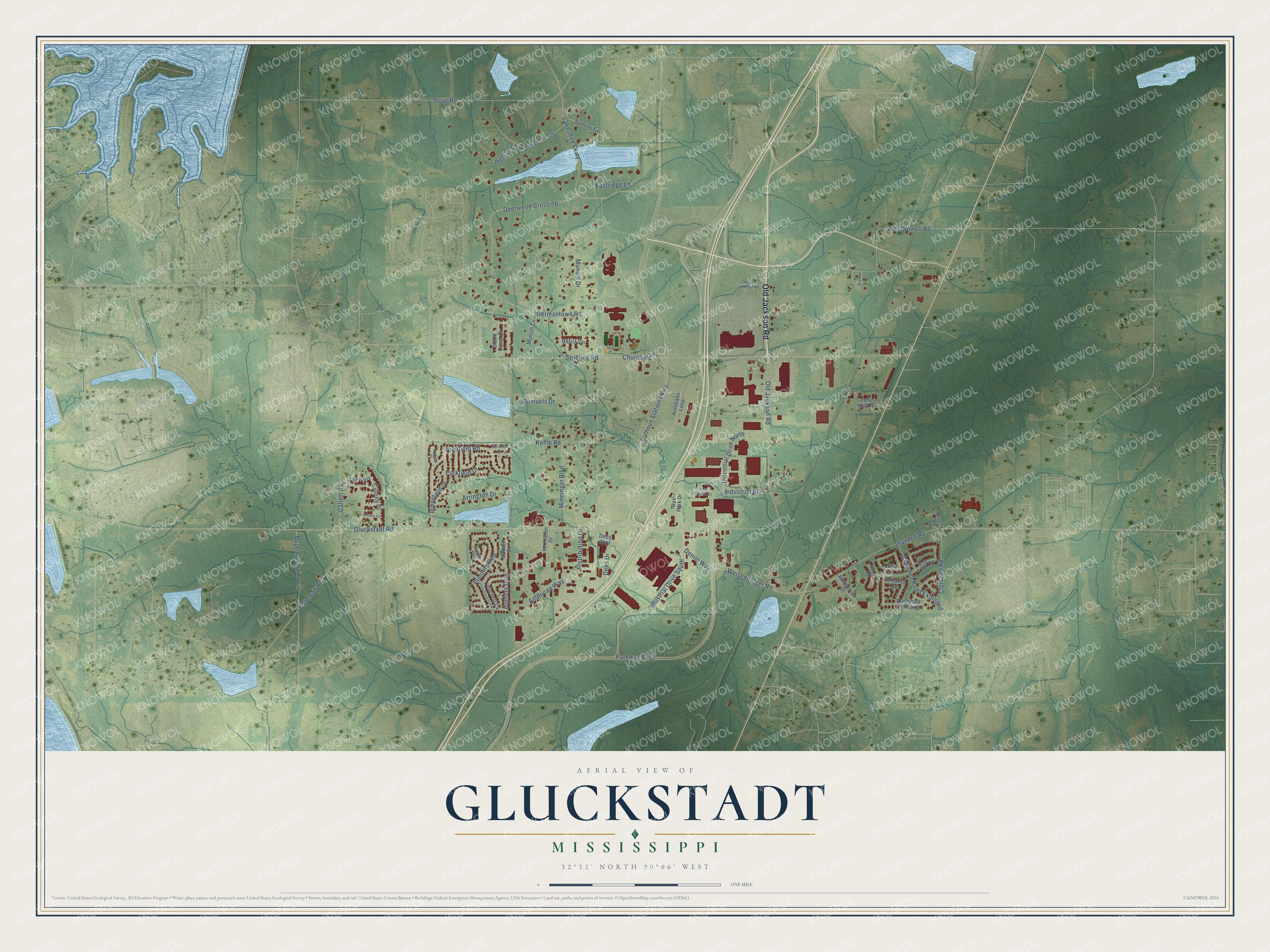
Street names on the Gluckstadt, Mississippi map
These names are printed on the map of Gluckstadt, Mississippi.
Streets and roads: Old Jackson Road, Weisenberger Road, Parkway East, Gluckstadt Road, Church Road, Yandell Road, Calhoun Station Parkway, Stout Road, Germantown Road, Deerwood Crossing, Industrial Drive South, Munich Drive.
More street names, A to Z
American Way, Arrington Drive, Aulenbrock Drive, Autobahn Loop, Bear Creek Circle, Bozeman-Paine Circle, Bozeman Road, Bracey Road, Bradfield Road, Bradshaw Crossing, Brenda Lane, Bus Park Drive, Catlett Road, Clarkdell Road, Clarkdell Road Extended, Colony Court, Colony Place, Dees Drive, Dees Way, Denim Way, Distribution Drive, Eastridge Lane, Fairchild Cv, Farmers Row, First Choice Drive, First Colony Boulevard, Harris Circle, Harvest Cv, Hunters Row, Industrial Boulevard, Industrial Drive North, Jorn Circle, Kayfield Place, Kehle Road, Lakeshire Circle, Lakeshire Cv, Lakeshire Parkway, Lexington Drive, Lone Wolf Drive, Minninger Boulevard, Muirfield Place, Munich Cv, Parkfield Drive, Planters Row, Ridgefield Drive, Saddle Cv, Samuels Drive, Stone Creek Drive, Stribling Road, Sunrise Cv, Thomas Johnson Road, Wells Court, West Sowell Road.
See the Gluckstadt, Mississippi map on a wall
The Gluckstadt map as an 18 x 24 inch print in a black frame.

This beautifully detailed map of Gluckstadt makes an attractive addition to your office, library, or den, and it can even be used to teach children the geography and history of the area. It also makes a great gift for someone who left Gluckstadt and still calls it home. When you’re done exploring, click here to get your copy of the Gluckstadt map.