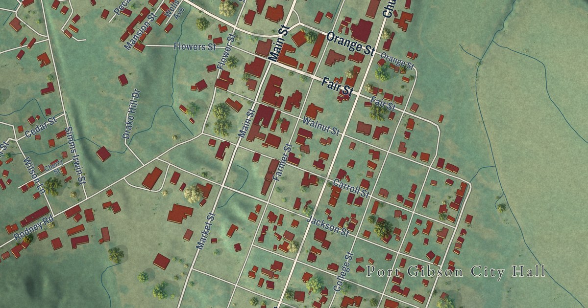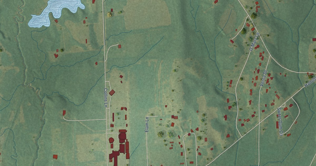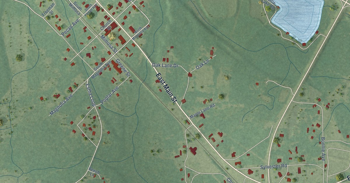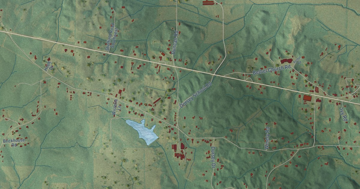
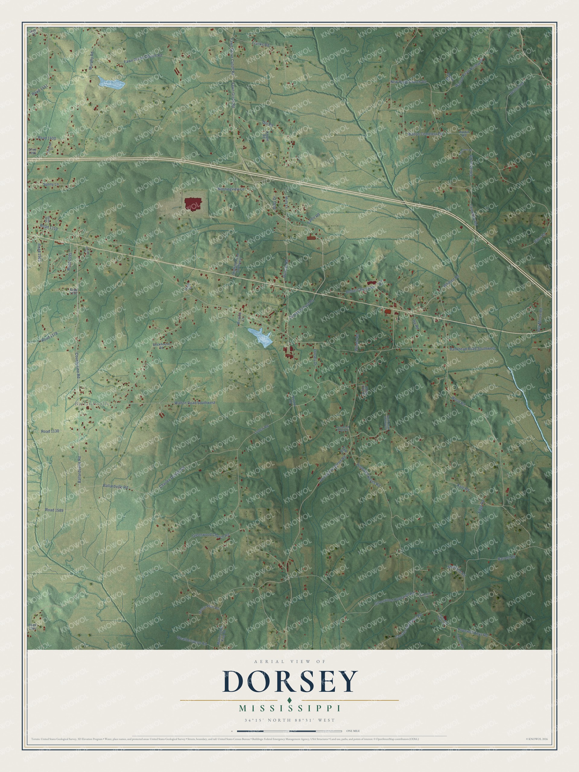
This beautifully detailed map of Dorsey, Mississippi was created in 2026 using aerial imagery combined with modern topographical, census, street and landmark data. It’s a one-of-a-kind view of Dorsey that combines accurate data with a vintage aesthetic. The map shows every building in its true location, many of the roads carry their names, and the shaded topographic relief shows the shape of the land.
Explore an aerial view of Dorsey, Mississippi
On the map you’ll find Ballardsville and Road 1589, along with Ballardsville Road, County Line Road, Fawn Grove Road, Fawn Grove Cutoff Road, Morningview Lane, Cemetery Road, Bankhead Road Southwest, Dorsey Evergreen Road, Walton Cemetery Road, Kyle Road, and more. If you look closely you can even find your house accurately drawn in its correct location. Zoom in on the preview to look for yours.
Did You Know?
From Internet Archive: "You will recall that Riggs and Dorsey said that in 1893 the earthworks of the Sheyenne River village were still distinguishable."
Dorsey is a community in Itawamba County.
Take a closer look at the Dorsey map
Names on this map
These names are printed on this map.
Places: Ballardsville.
Streets and roads: Ballardsville Road, County Line Road, Fawn Grove Road, Road 1589, Fawn Grove Cutoff Road, Morningview Lane, Cemetery Road, Bankhead Road Southwest, Dorsey Evergreen Road, Walton Cemetery Road, Kyle Road, Wood Road.
More street names, A to Z
Abby Drive, Ballardville Road, Barrett Road, Ben Moore Road, Bethel Church Road, Bethel Road, Brickhouse Road, Buford Road, Charley Donald Road, Chester Shumpert Road, Christian Road, Denton Road, Dill Road, Dorsey Drive, Dorsey School Road, Drive 1295, Drive 1396, Duncan Road, Edge Road, Farris Road, Fawn Grove Church Road, Franks Road, Gillentine Lane, Greenwood Church Road, Greenwood Hopewell Road, Harbin Road, Hope Drive, Hopewell Keyes Road, Hopewell Keygs Road, Hopewell Keys Road, Ivy Road, Jacobs Drive, Knight Road, Kyle Drive, Loden Road, Martin Luther King Road, Minnie Pearl Road, Mitchem Road, Molly Lane, Moore Road, Murphy Road, New Hope Church Road, Pinetree Drive, Riley Road, Road 1130, Road 1178, Road 1252, Road 1310, Road 1400, Road 1451, Road 1551, Road 1563, Road 1581, Road 1595, Rock City Road, Sheffield Road, Sheffield Road Southwest, Smith Road Southwest, Sunny Lane, Tomlin Road, Walton Road Northwest, Walton Road Southwest, Weatherspoon Road, Whitten Road, Winery Road, Wisteria Lane, Young Road Southwest.
See it on a wall
The Dorsey map as a framed print. Swipe for more.


This beautifully detailed map of Dorsey makes an attractive addition to your office, library, or den, and it can even be used to teach children the geography and history of the area. It also makes a great gift for anyone with Dorsey roots. When you’re done exploring, click here to get your copy of the Dorsey map.