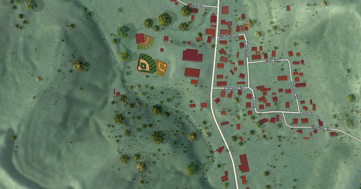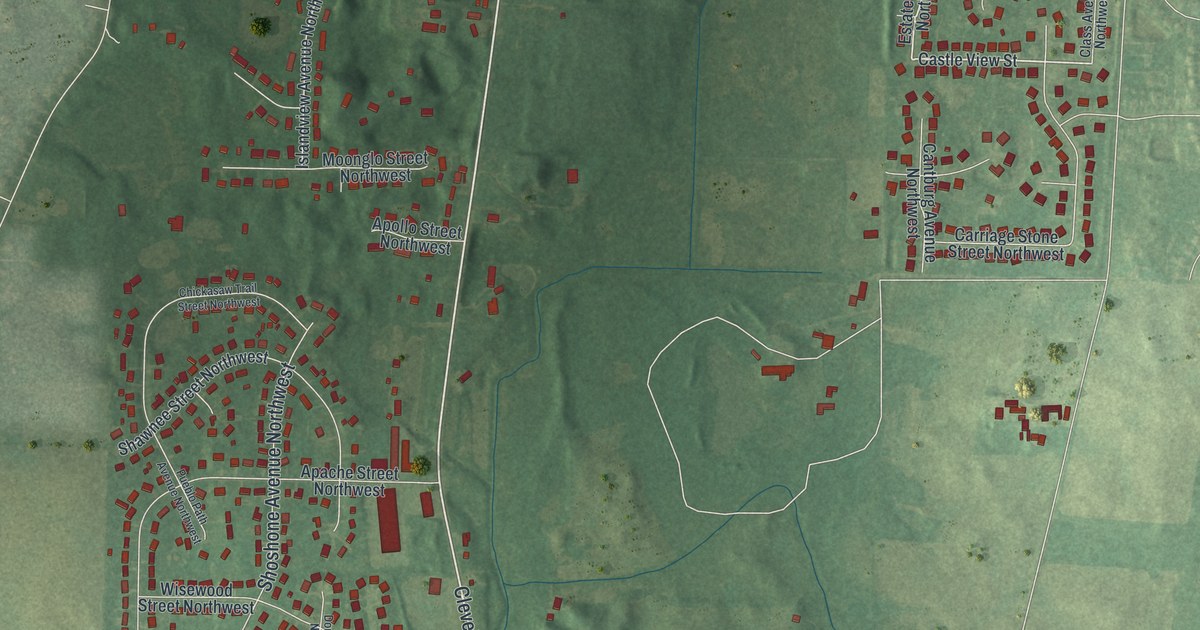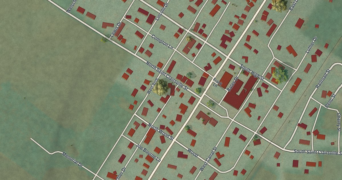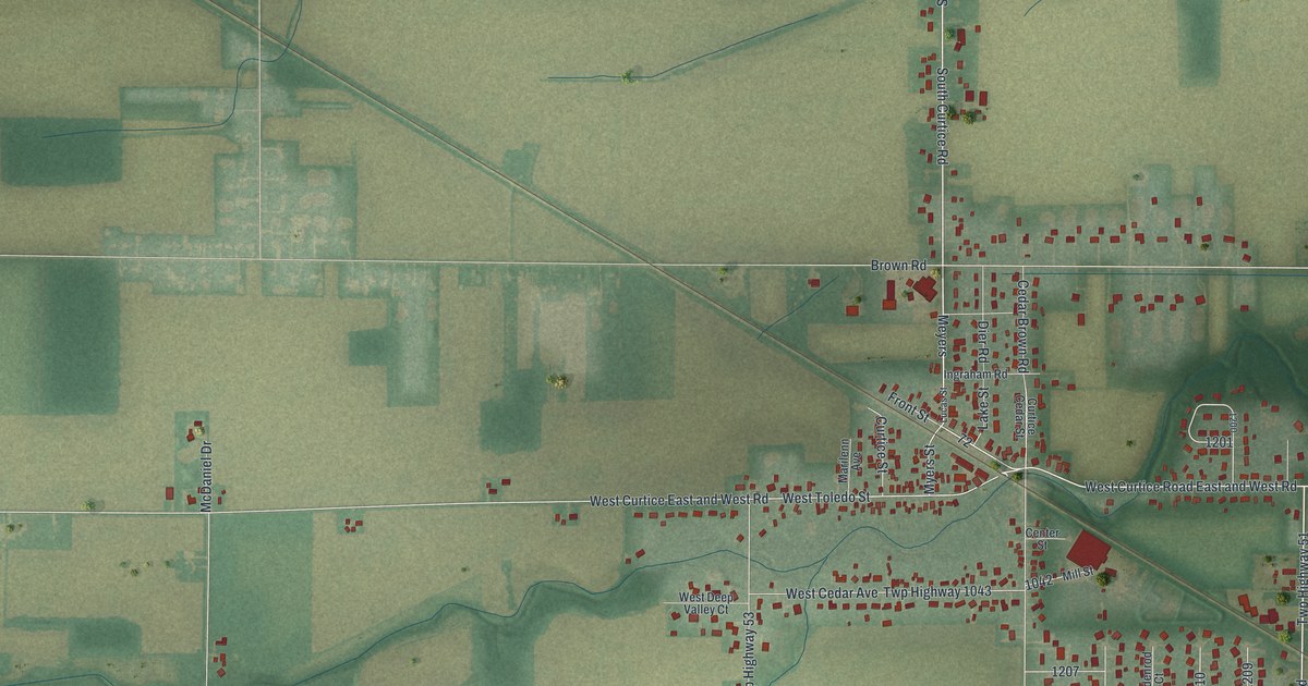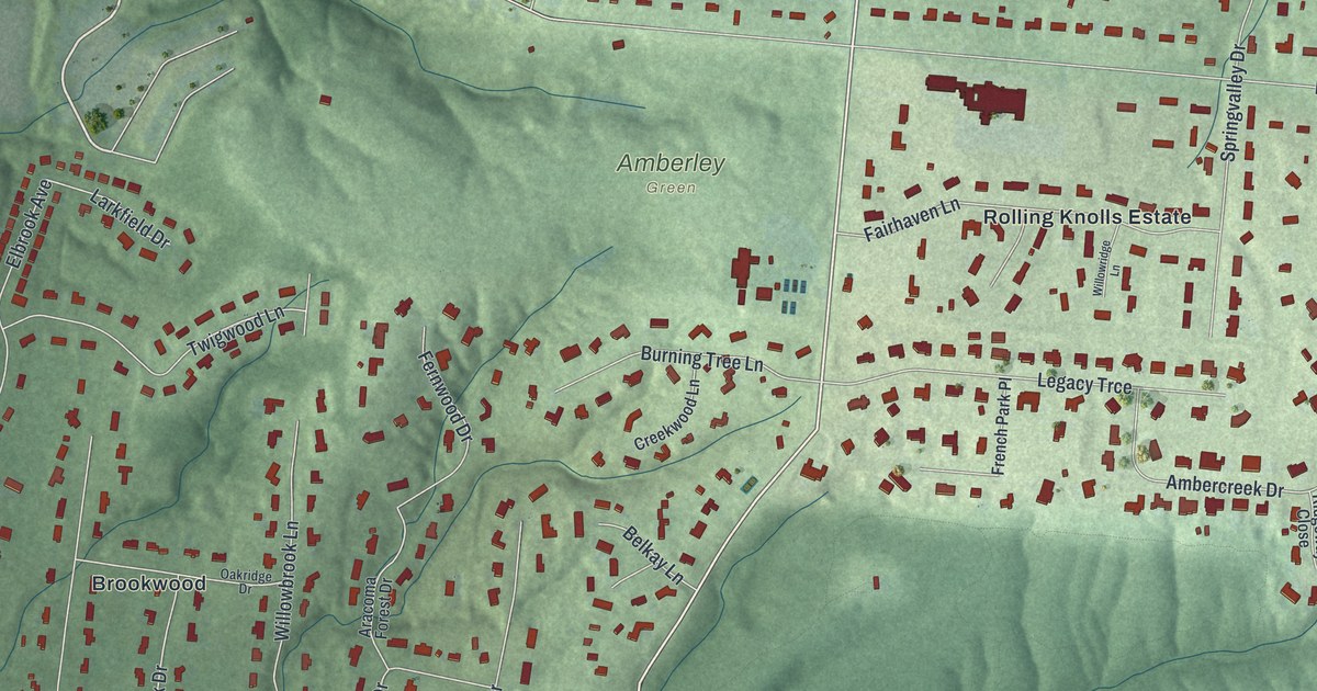
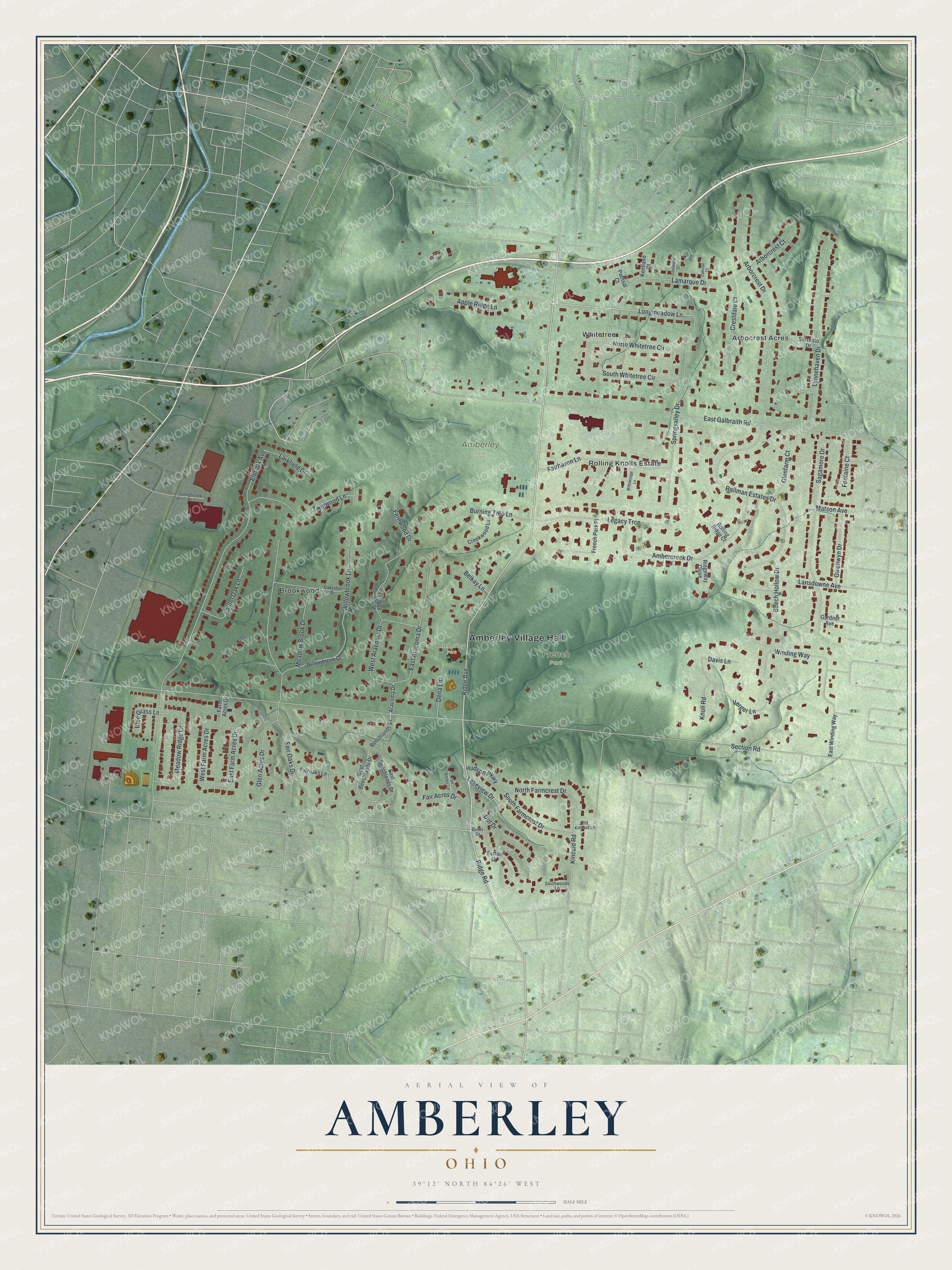
This beautifully detailed map of Amberley, Ohio was created in 2026 using aerial imagery combined with modern topographical, census, street and landmark data. It’s a one-of-a-kind view of Amberley that combines accurate data with a vintage aesthetic. The map shows every building in its true location, many of the roads carry their names, and the shaded topographic relief shows the shape of the land.
Explore an aerial view of Amberley, Ohio
On the map you’ll find Amberley Village Hall, Amberley Green, Amberley Park, French Park, Arbocrest Acres, Brookwood, Rolling Knolls Estate, and Whitetree, along with Ridge Avenue, Longmeadow Lane, Ridge Road, Section Road, and more. If you look closely you can even find your house accurately drawn in its correct location. Zoom in on the preview to look for yours.
Did you know this piece of Amberley, Ohio history?
Amberley became a village on April 5, 1940, and took its name from Amberley in West Sussex, England. After World War II, many Jewish families moved north from Cincinnati neighborhoods like Avondale and Roselawn. Large numbers settled here, and the village became a key center of the city’s suburban Jewish community.
Take a closer look at the Amberley map
Street and place names on the Amberley, Ohio map
These names are printed on the map of Amberley, Ohio.
Places: Amberley Village Hall, Amberley Green, Amberley Park, French Park, Arbocrest Acres, Brookwood, Rolling Knolls Estate and Whitetree.
Streets and roads: Ridge Avenue, Longmeadow Lane, Ridge Road, Section Road, East Galbraith Road, Elbrook Avenue, Fair Oaks Drive, Rollman Estates Drive, Arborcrest Drive, Sagamore Drive, Springvalley Drive, Lamarque Drive.
More street names, A to Z
Ambercreek Drive, Apple Ridge Lane, Aracoma Drive, Aracoma Forest Drive, Arborcrest Court, Beech Hollow Drive, Beechlands Drive, Belkay Lane, Blue Grass Lane, Burning Tree Lane, Burns Drive, Coolwood Court, Creekwood Lane, Crestdale Court, Davis Lane, Dena Lane, Dot Drive, East Aracoma Drive, East Beechlands Drive, East Farm Acres Drive, East Winding Way, Esther Drive, Fair Acres Drive, Fair Acres Lane, Fairhaven Lane, Fairoaks Lane, Farm Acres Drive, Fernwood Drive, Fontaine Court, French Park Place, Gardner Avenue, Glen Acres Drive, Glenfarm Court, Gwenwyn Drive, Hudson Parkway, Kentland Court, Kincaid Road, Knoll Road, Lakeview Drive, Lansdowne Avenue, Larkfield Drive, Laurel Oak Lane, Legacy Trce, Lynnehaven Drive, Matson Avenue, Meadow Brook Drive, Meadow Ridge Lane, North Farmcrest Drive, North Whitetree Circle, Oakridge Drive, Oakside Court, Old Kincaid Lane, Patrisal Court, Ridgeway Close, Rolling Ridge Court, Sorrento Drive, South Farmcrest Drive, South Whitetree Circle, Southwoods Lane, Sunnybrook Drive, Twigwood Lane, Verger Lane, West Aracoma Drive, West Beechlands Drive, West Farm Acres Drive, Willowbrook Drive, Willowbrook Lane, Willowridge Lane, Winding Way.
See the Amberley, Ohio map on a wall
The Amberley map as an 18 x 24 inch print in a black frame.

This beautifully detailed map of Amberley makes an attractive addition to your office, library, or den, and it can even be used to teach children the geography and history of the area. It also makes a great gift for anyone who grew up in Amberley or moved away. When you’re done exploring, click here to get your copy of the Amberley map.