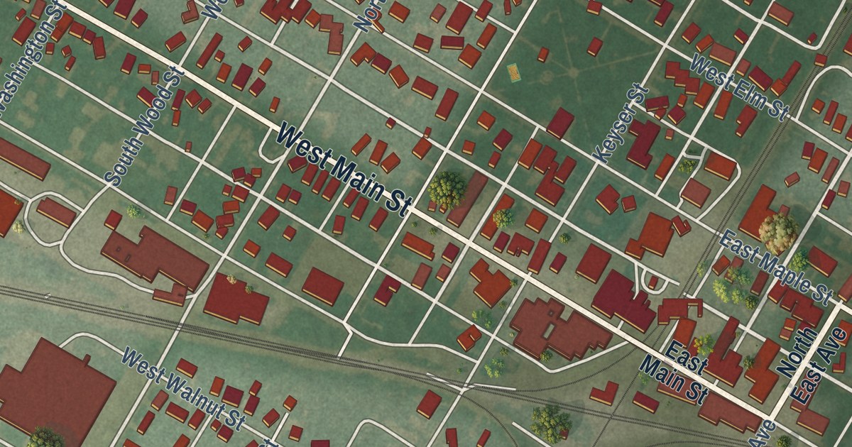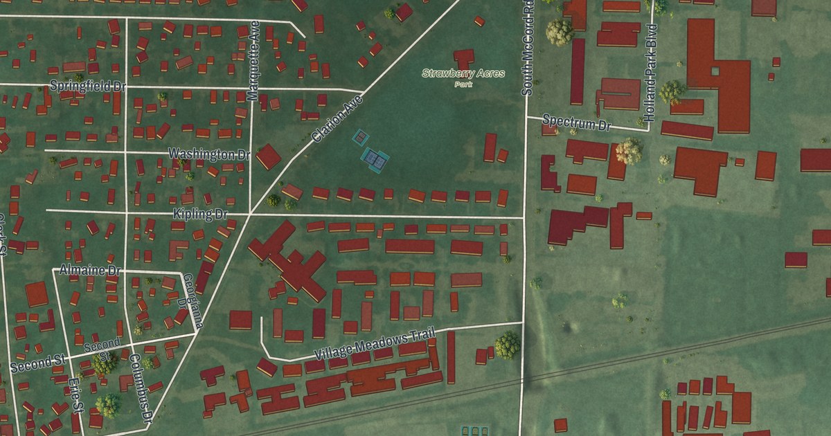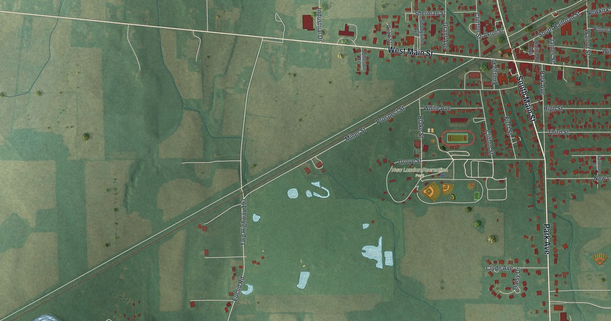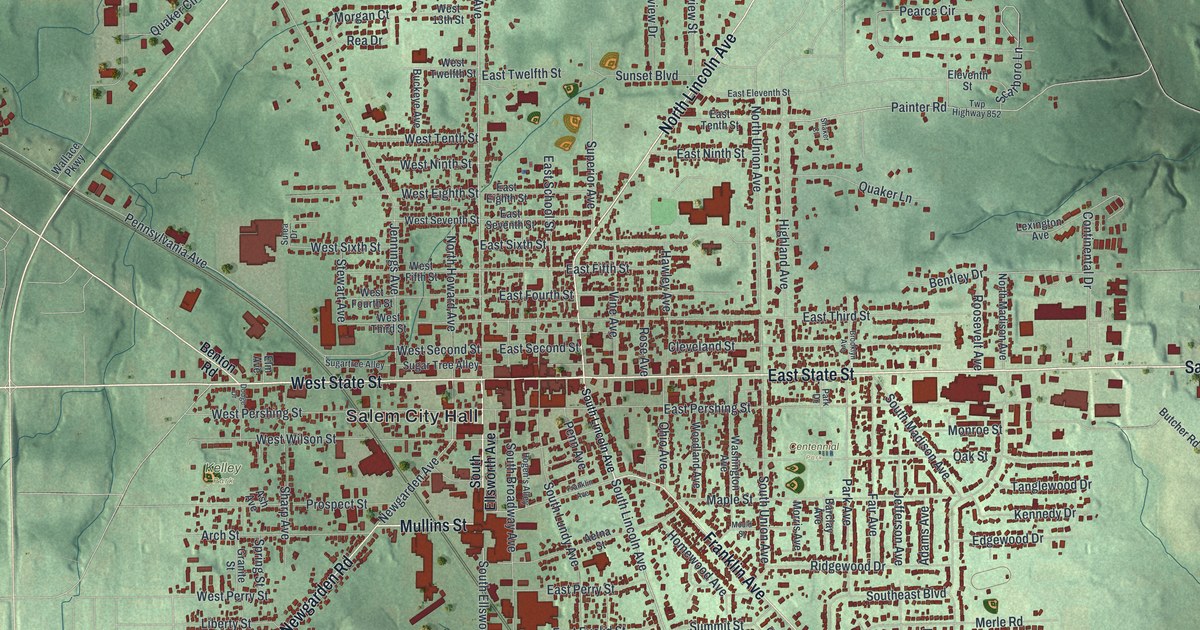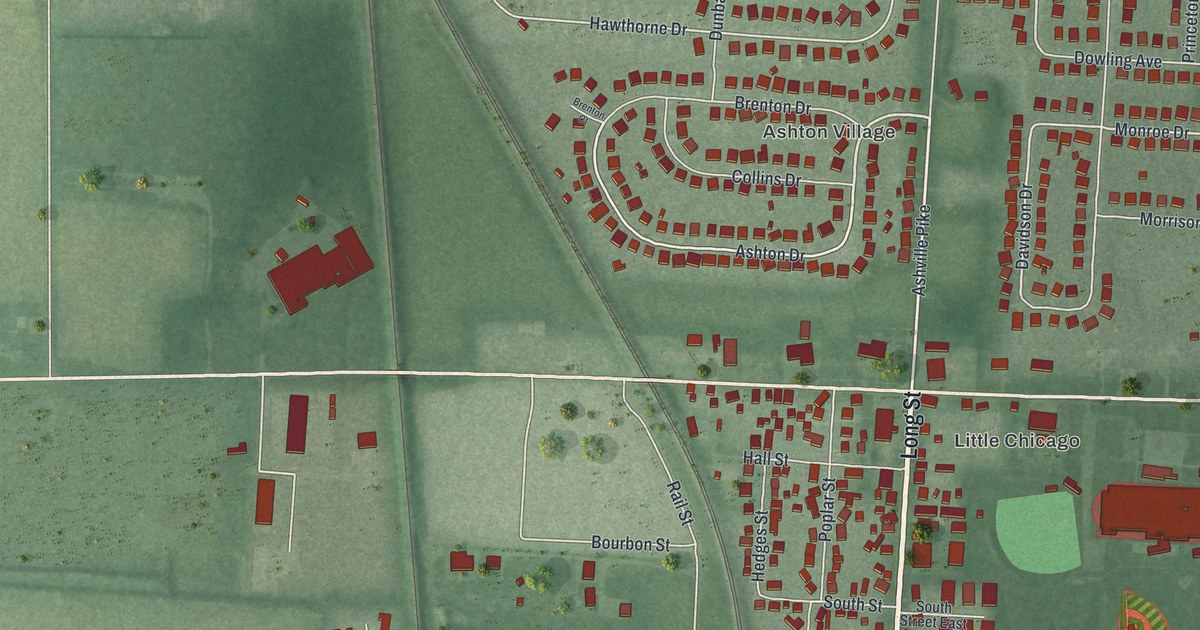
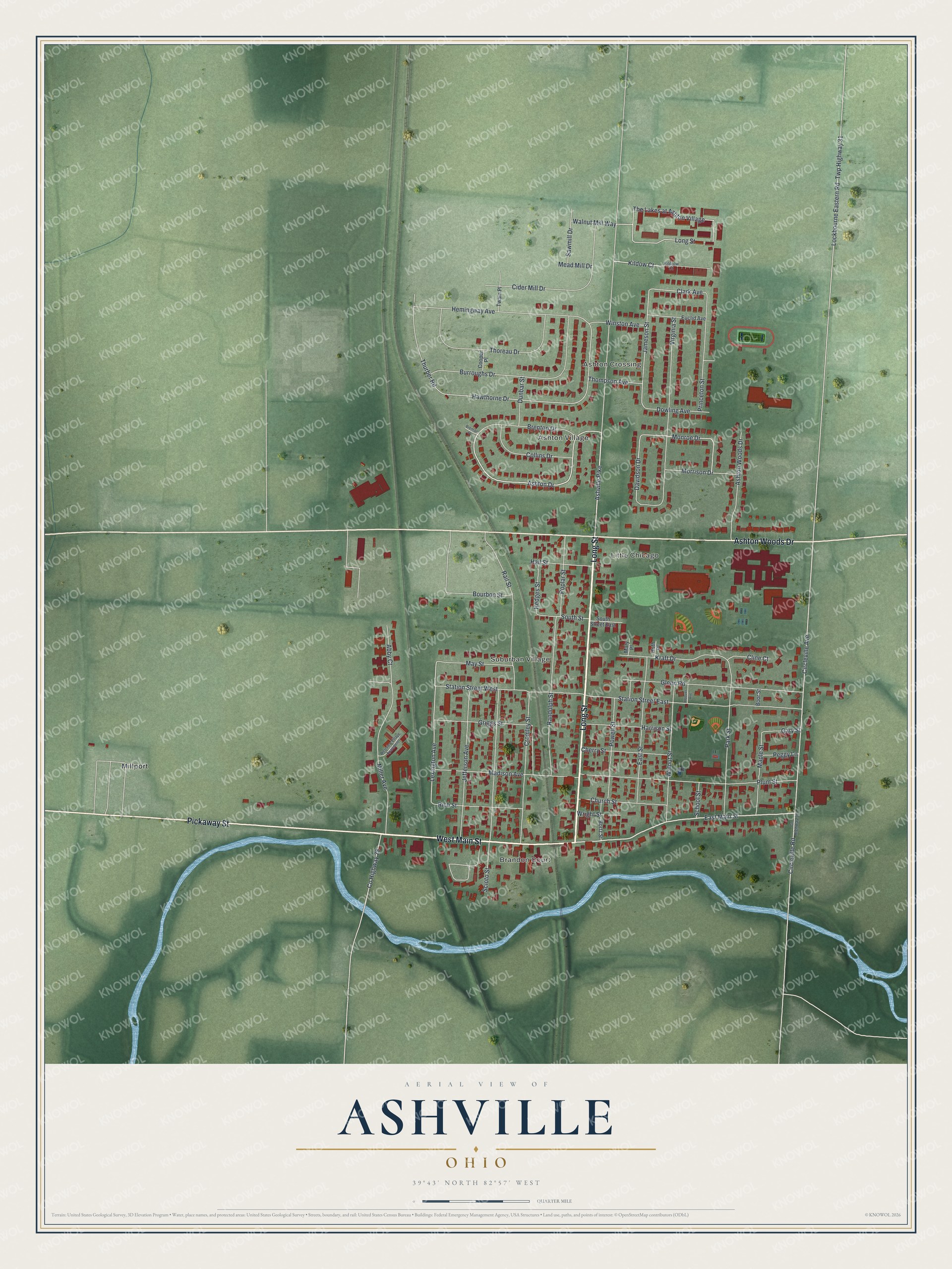
This beautifully detailed map of Ashville, Ohio was created in 2026 using aerial imagery combined with modern topographical, census, street and landmark data. It’s a one-of-a-kind view of Ashville that combines accurate data with a vintage aesthetic. The map shows every building in its true location, many of the roads carry their names, and the shaded topographic relief shows the shape of the land.
Explore an aerial view of Ashville, Ohio
On the map you’ll find Suburban Village, Ashton Village, Ashton Crossing, Little Chicago, and Millport, along with Brandon Court, Long Street, West Main Street, Pickaway Street, Ashton Woods Drive, East Main Street, Circleville Avenue, and more. If you look closely you can even find your house accurately drawn in its correct location. Zoom in on the preview to look for yours.
Did you know this piece of Ashville, Ohio history?
From the 1906 History of Pickaway County, Ohio: "In 1812 a distillery was built by William Stage, near Ashville, and in the same locality, about the same period, Richard Stage also had one."
Take a closer look at the Ashville map
Street and place names on the Ashville, Ohio map
These names are printed on the map of Ashville, Ohio.
Places: Brandon Court, Suburban Village, Ashton Village, Ashton Crossing, Little Chicago and Millport.
Streets and roads: Long Street, West Main Street, Pickaway Street, Ashton Woods Drive, East Main Street, Circleville Avenue, Ashton Drive, Jameson Street, Monroe Drive, Kildow Court, Davidson Drive, Clark Avenue.
More street names, A to Z
Abby Court, Ashville Pike, Boor Street, Bortz Street, Bourbon Street, Brenton Court, Brenton Drive, Burroughs Drive, Cherry Street, Church Street, Cider Mill Drive, Circleville Road, Cline Court, Collins Drive, Cooper Place, County Highway 28, County Highway 31, Cromley Street, Dowling Avenue, Dunbar Street, East Street, Euclid Avenue, Gary Street, Glenn Road, Griggs Street, Hall Street, Harrison Street, Hawthorne Drive, Hedges Street, Hemingway Avenue, Hoover Avenue, Jefferson Avenue, Kildrow Court, Kraft Drive, Lexington Avenue, Lockbourne Eastern Road, Madison Avenue, Maple Street, Mary Place, May Street, Mead Mill Drive, Miller Avenue, Morrison Drive, Park Street, Peggy Lane, Plum Street, Poplar Street, Powell Street, Princeton Street, Rail Street, Randolph Street, Rich Street, Ruth Place, Sawmill Drive, School Street, Scioto Street, South Street, South Street East, Station Street East, Station Street West, The Lakes at Ashton Village, Thompson Avenue, Thoreau Drive, Thurber Road, Twain Place, Twp Highway 31, Virginia Street, Walnut Mill Way, Walnut Street, Westview Village Apartments, Winston Avenue, Wright Street.
See the Ashville, Ohio map on a wall
The Ashville map as an 18 x 24 inch print in a black frame.

This beautifully detailed map of Ashville makes an attractive addition to your office, library, or den, and it can even be used to teach children the geography and history of the area. It also makes a great gift for anyone who grew up in Ashville or moved away. When you’re done exploring, click here to get your copy of the Ashville map.