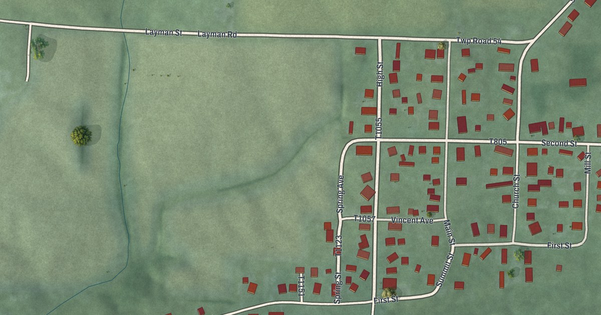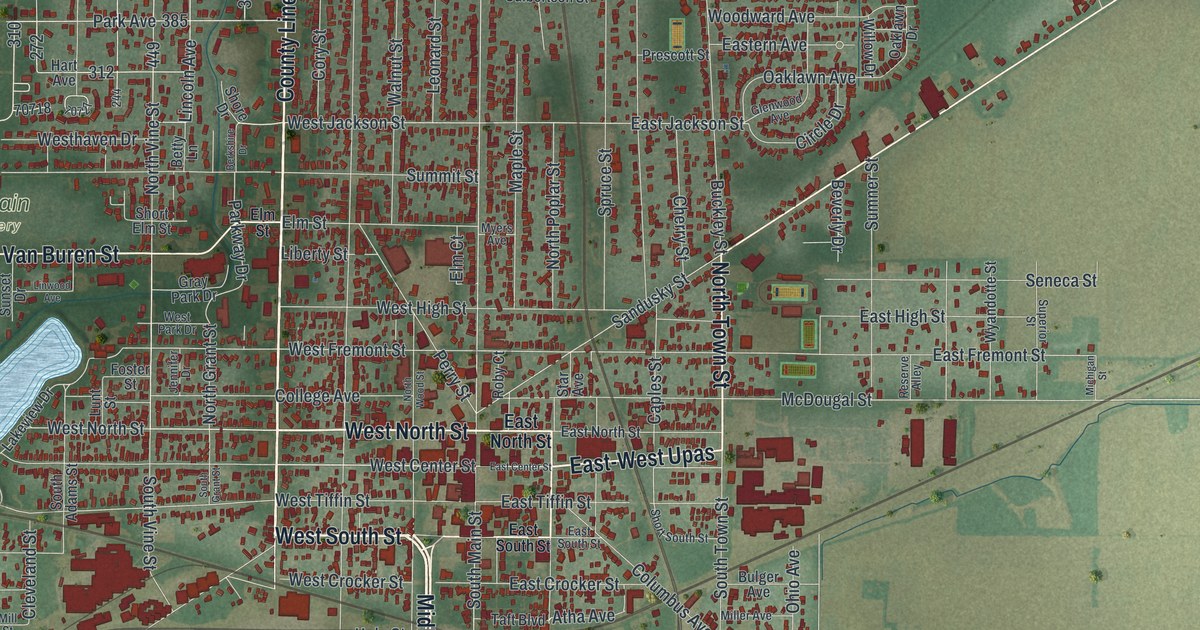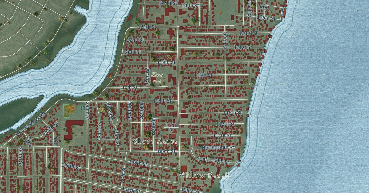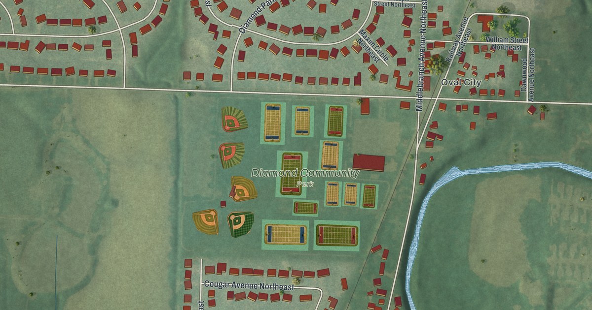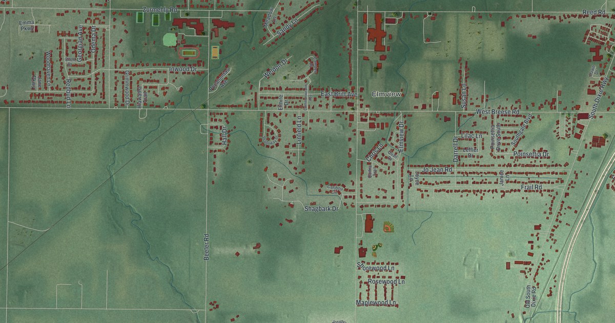
This beautifully detailed map of Fort Shawnee, Ohio was created in 2026 using aerial imagery combined with modern topographical, census, street and landmark data. It’s a one-of-a-kind view of Fort Shawnee that combines accurate data with a vintage aesthetic. The map shows every building in its true location, many of the roads carry their names, and the shaded topographic relief shows the shape of the land.
Explore an aerial view of Fort Shawnee, Ohio
On the map you’ll find Elmview, along with South Wapakoneta Road, Shagbark Drive, Oak Hill Court, Frail Road, West Breese Road, Shawnee Road, West Hume Road, Zurmehly Road, Ft Amanda Road, South Dixie Highway, Delong Road, and more. If you look closely you can even find your house accurately drawn in its correct location. Zoom in on the preview to look for yours.
Did you know this piece of Fort Shawnee, Ohio history?
Fort Shawnee was once an incorporated village beside the city of Lima. In 2012, its residents voted to dissolve the village and give up its charter. Today the Census counts Fort Shawnee as a census-designated place in Allen County.
Take a closer look at the Fort Shawnee map
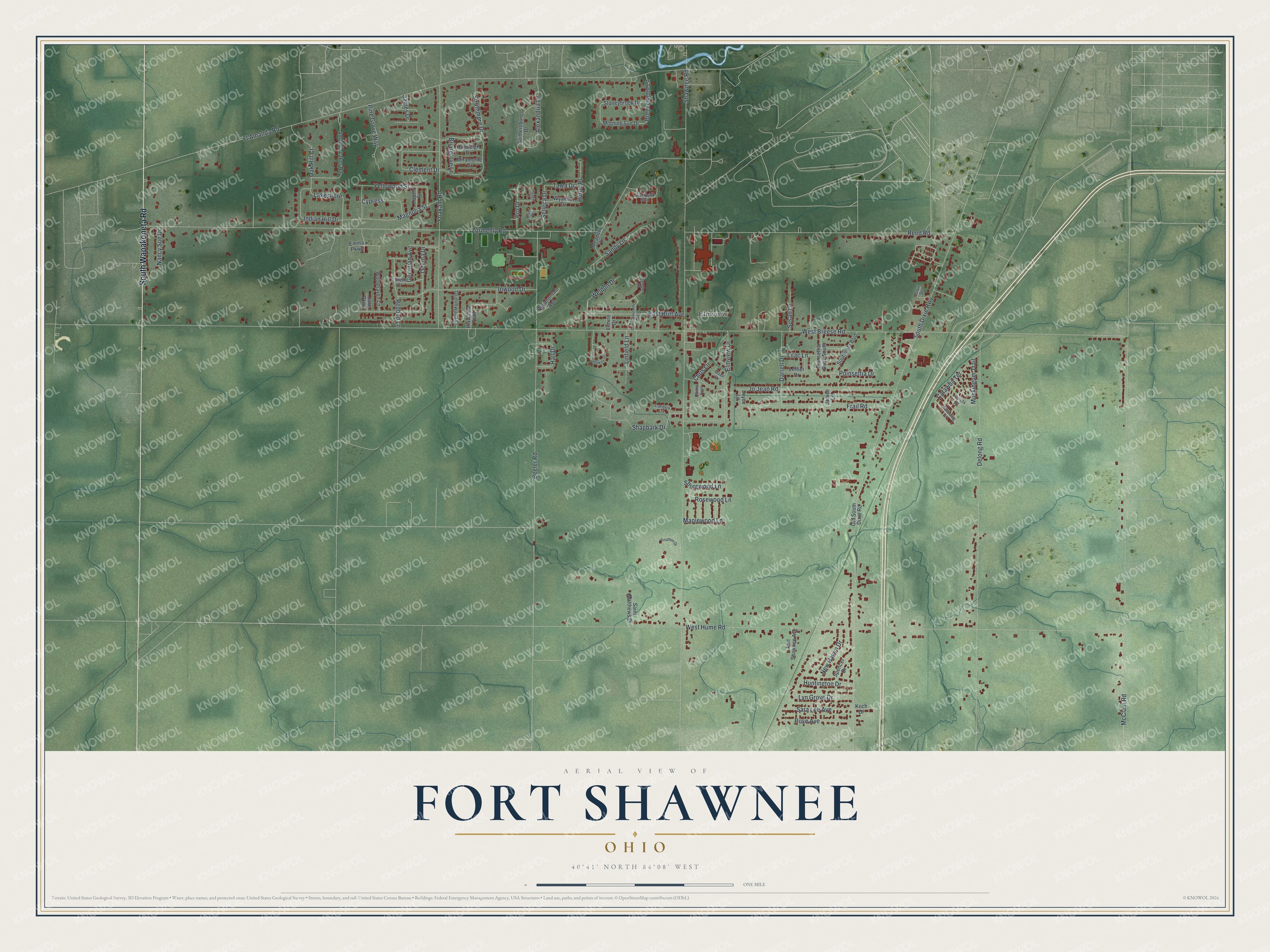
Street and place names on the Fort Shawnee, Ohio map
These names are printed on the map of Fort Shawnee, Ohio.
Places: Elmview.
Streets and roads: South Wapakoneta Road, Shagbark Drive, Oak Hill Court, Frail Road, West Breese Road, Shawnee Road, West Hume Road, Zurmehly Road, Ft Amanda Road, South Dixie Highway, Delong Road, Beeler Road.
More street names, A to Z
Alexandria Drive, Amanda Lakes Road, Breezewood Lane, Briargrove Lane, Camden Place, Caribou Circle, Catawba Terrace, Chris Lane, Clement Drive, Commonwealth Avenue, Cypress, Darrell Drive, Dawn Drive, East Britt Avenue, Ellen Drive, Elmire Drive, Elmview Drive, Emma Parkway, Fort Shawnee Avenue, Gaithersburg Drive, Georgian Avenue, Grimmwood Drive, Hall Drive, Hiawatha Trail, Huntington Drive, Huntleigh Drive, Huron Place, Indian Hill Drive, Inwood Drive, James Drive, Jane Parkway, Janice Lane, Jo Jean Road, Jonathon Drive, Joyce Lane, Koch Drive, Koneta Drive, Lakeshore, Leffler Drive, Lilac Lane, Linfield Lane, Lyn Grove Drive, Magnolia Street, Mahoning Drive, Maplewood Lane, McClain Road, Meadow Lane, Miami Place, Miramonte Drive, Morning Sun Drive, Muskingum Trail, Nancy Sue Drive, New Haven Drive, Odema Drive, Old South Dixie Road, Pine Grove Way, Pocahontas Avenue, Poinsettia Drive, Poinsettia Drive South, Pro Drive, Quail Drive, Quilna Trail, Redbud Lane, Reed Road, Riverwalk Boulevard, Rose Avenue, Rosewood Lane, Ruskin Court, Saint Matthews Drive, Sandy Lane, Sara Lee Avenue, Seneca Drive, Shalloway Drive, Shorewood Lane, Southgate Boulevard, Spencer Drive, Stoneybrook Drive, Struthmore Drive, Susan Lane, Tawa Drive, Tupelo Street, Weldon Drive, Woodhaven Lane, Wyandot Drive, Yellowood Street, Yoakam Road.
See the Fort Shawnee, Ohio map on a wall
The Fort Shawnee map as an 18 x 24 inch print in a black frame.

This beautifully detailed map of Fort Shawnee makes an attractive addition to your office, library, or den, and it can even be used to teach children the geography and history of the area. It also makes a great gift for someone who left Fort Shawnee and still calls it home. When you’re done exploring, click here to get your copy of the Fort Shawnee map.