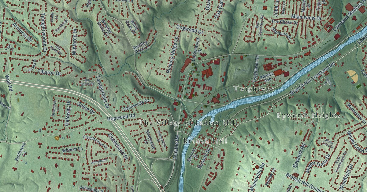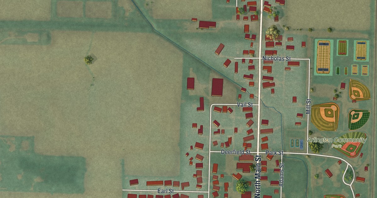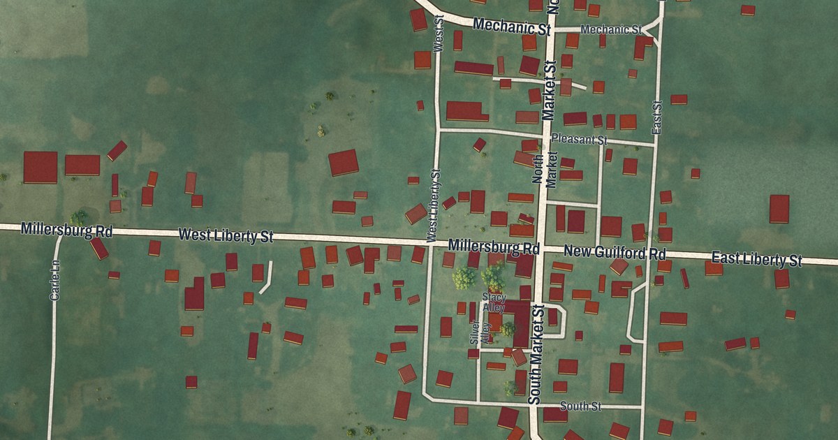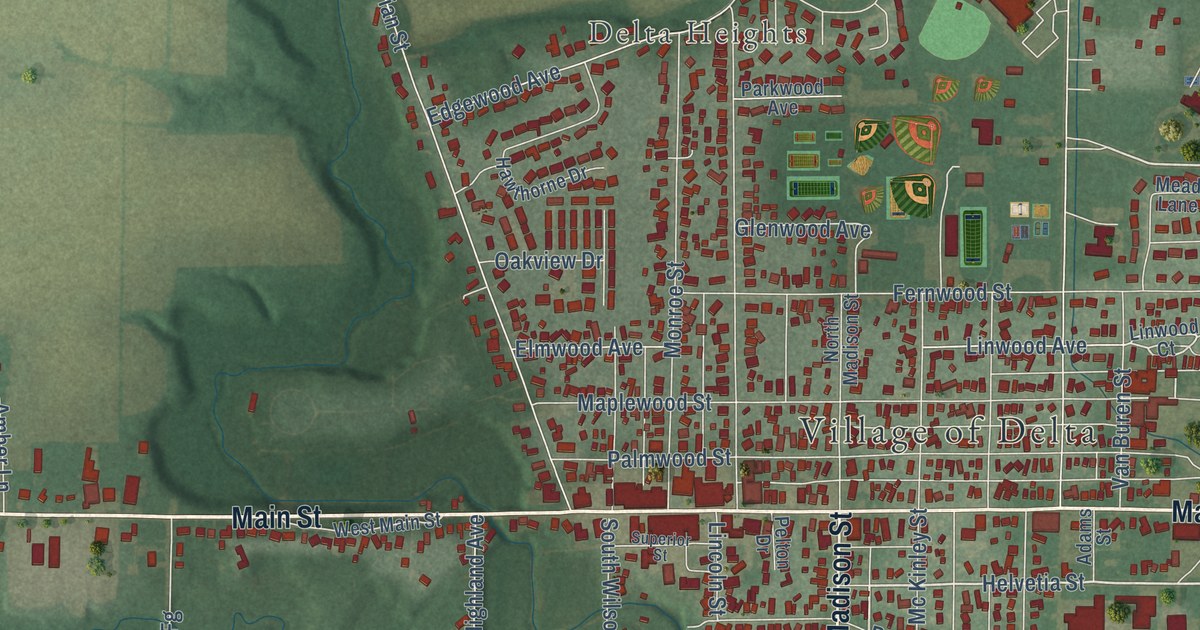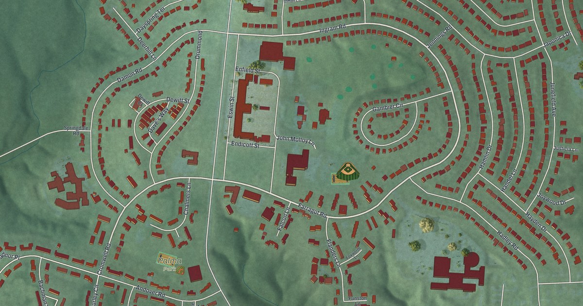
This beautifully detailed map of Greenhills, Ohio was created in 2026 using aerial imagery combined with modern topographical, census, street and landmark data. It’s a one-of-a-kind view of Greenhills that combines accurate data with a vintage aesthetic. The map shows every building in its true location, many of the roads carry their names, and the shaded topographic relief shows the shape of the land.
Explore an aerial view of Greenhills, Ohio
On the map you’ll find Greenhills Municipal Building, Palma Park, and Burley Circle 1, along with Farragut Road, Ingram Road, Cromwell Road, Jewel Lane, Lake Forest Circle Drive, Winton Road, West Sharon Road, Ireland Avenue, Junefield Avenue, and more. If you look closely you can even find your house accurately drawn in its correct location. Zoom in on the preview to look for yours.
Did you know this piece of Greenhills, Ohio history?
From the Ohio History Connection: "The original federally built center of Greenhills was added to the National Register of Historic Places in 1989."
Take a closer look at the Greenhills map
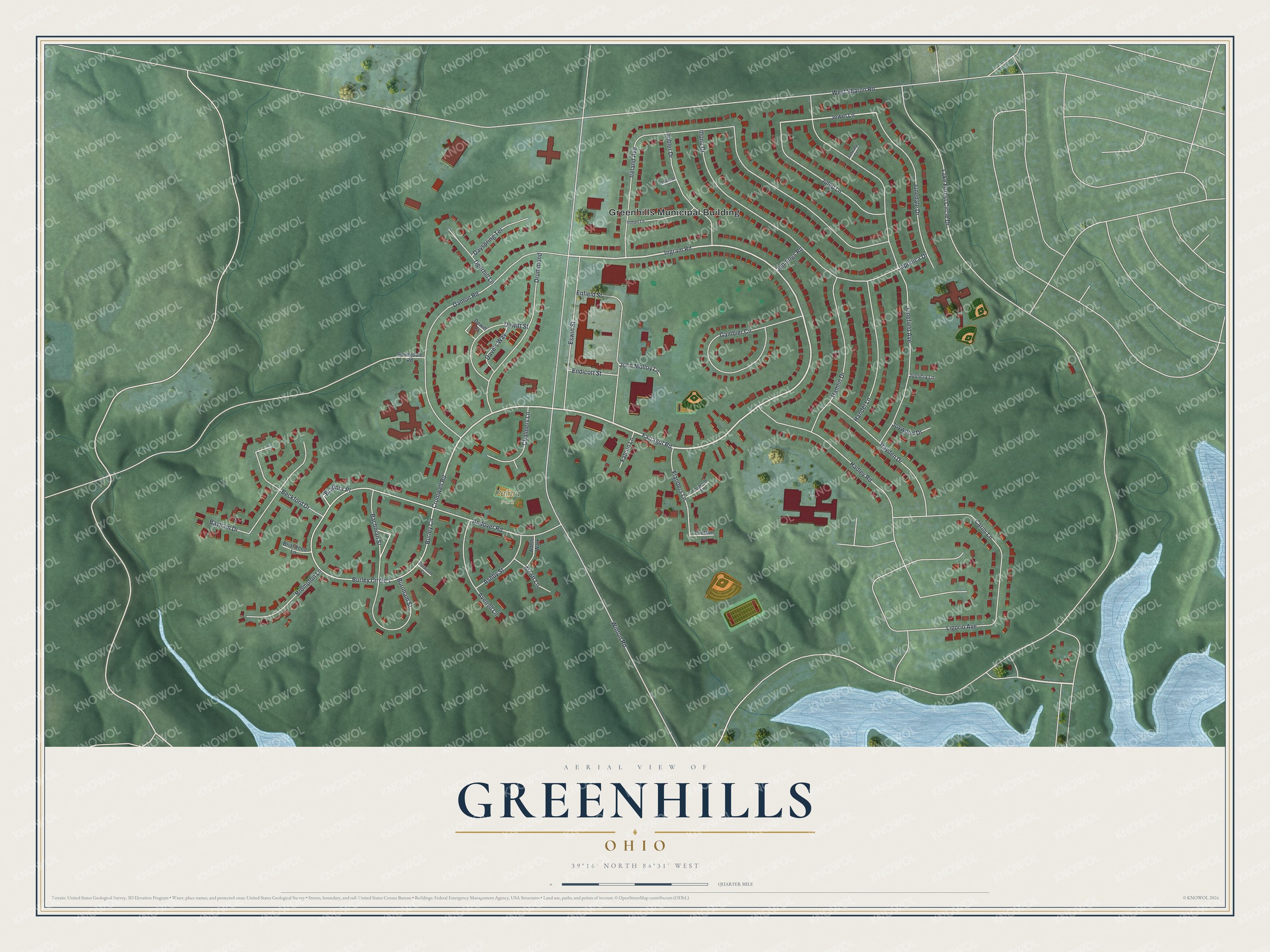
Street and place names on the Greenhills, Ohio map
These names are printed on the map of Greenhills, Ohio.
Places: Greenhills Municipal Building and Palma Park.
Streets and roads: Farragut Road, Ingram Road, Cromwell Road, Jewel Lane, Lake Forest Circle Drive, Winton Road, West Sharon Road, Ireland Avenue, Junefield Avenue, Burley Circle 1, Burley Circle, Damon Road.
More street names, A to Z
Adelle Walk, Alcott Lane, Andover Road, Ashby Street, Avenell Lane, Bachman Street, Bayham Drive, Beckford Drive, Bradnor Place, Briarwood Lane, Brompton Lane, Burnham Street, Burwood Court, Carini Lane, Chalmers Lane, Dave's Way, Dayspring Terrace, Deerhill Lane, Dewitt Court, Dewitt Street, Drummond, Endicott Street, Enfield Street, Eswin Street, Falcon Lane, Flanders Lane, Foxworth Lane, Funston Lane, Gambier Circle, Hadley Road, Hamlin Drive, Handel Lane, Hayden Drive, Illona Drive, Imbler Drive, Imboden Court, Inman Lane, January Court, Japonica Drive, Jennings Road, John Molloy Lane, Joywood Drive, Julep Lane, Junedale Drive, Justicia Lane, Ligorio Avenue, Springdale Road.
See the Greenhills, Ohio map on a wall
The Greenhills map as an 18 x 24 inch print in a black frame.

This beautifully detailed map of Greenhills makes an attractive addition to your office, library, or den, and it can even be used to teach children the geography and history of the area. It also makes a great gift for anyone with Greenhills roots. When you’re done exploring, click here to get your copy of the Greenhills map.