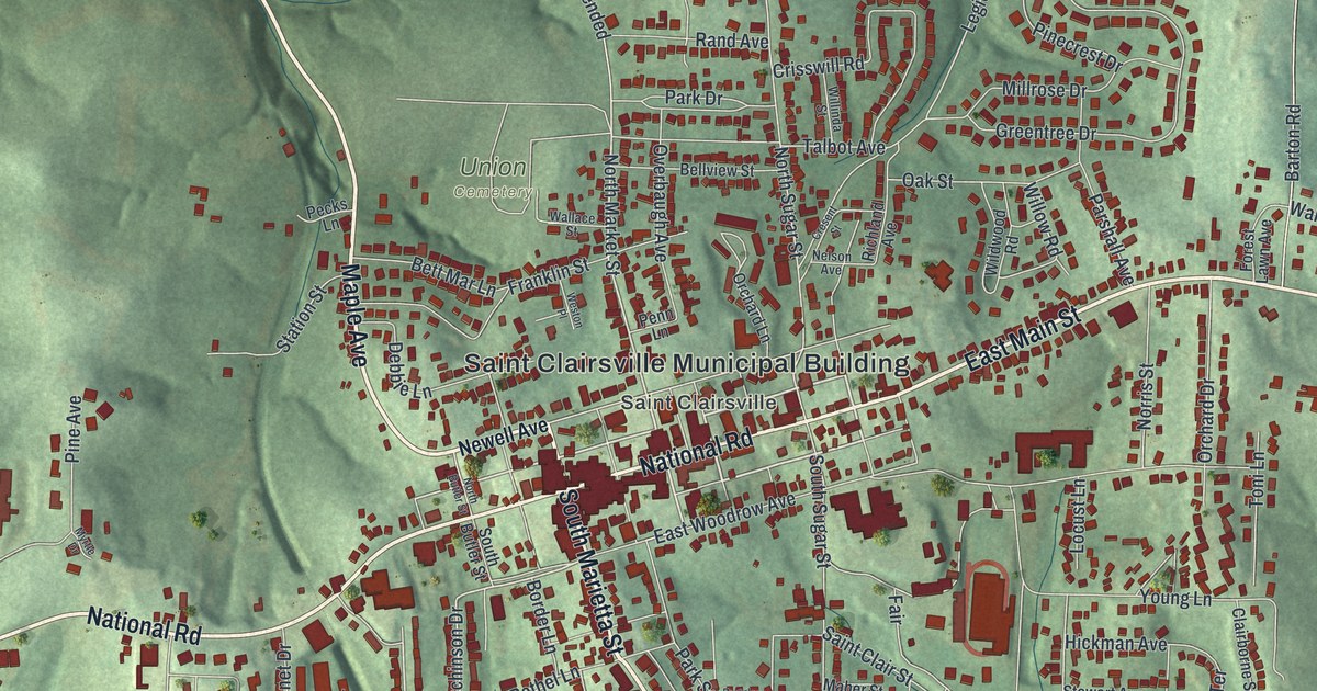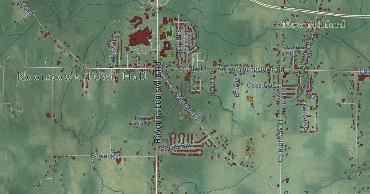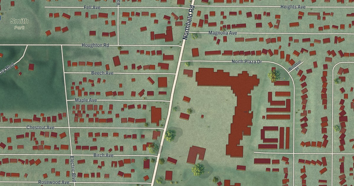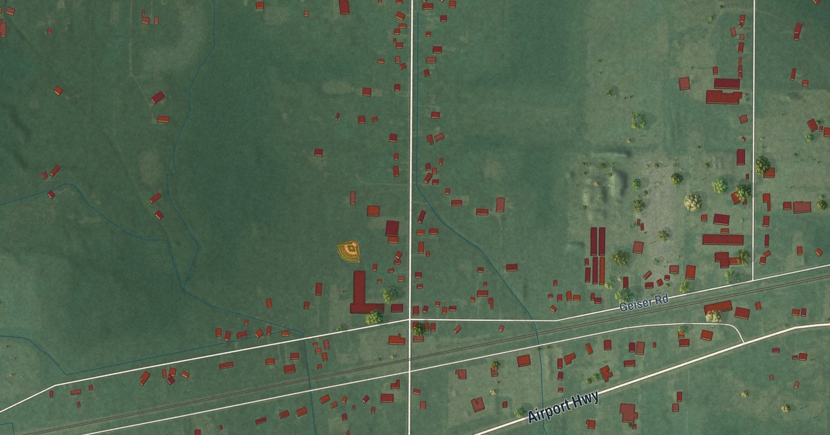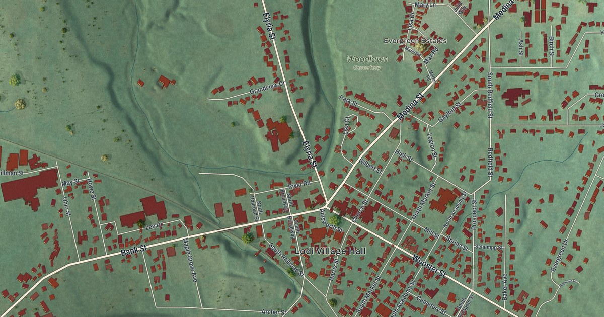
This beautifully detailed map of Lodi, Ohio was created in 2026 using aerial imagery combined with modern topographical, census, street and landmark data. It’s a one-of-a-kind view of Lodi that combines accurate data with a vintage aesthetic. The map shows every building in its true location, many of the roads carry their names, and the shaded topographic relief shows the shape of the land.
Explore an aerial view of Lodi, Ohio
On the map you’ll find Lodi Village Hall, Pine Villas, Evergreen Estates, and Woodlawn Cemetery, along with Medina Street, Lafayette Road, Wooster Street, Elyria Street, Bank Street, Avon Lake Road, Redfield Street, Prospect Street, and more. If you look closely you can even find your house accurately drawn in its correct location. Zoom in on the preview to look for yours.
Did you know this about Lodi, Ohio?
Lodi’s name indirectly honors Napoleon Bonaparte. A mail conflict prompted residents to meet, and a poem about the Battle of Lodi in Italy inspired their choice. That’s from the Village of Lodi.
Take a closer look at the Lodi map
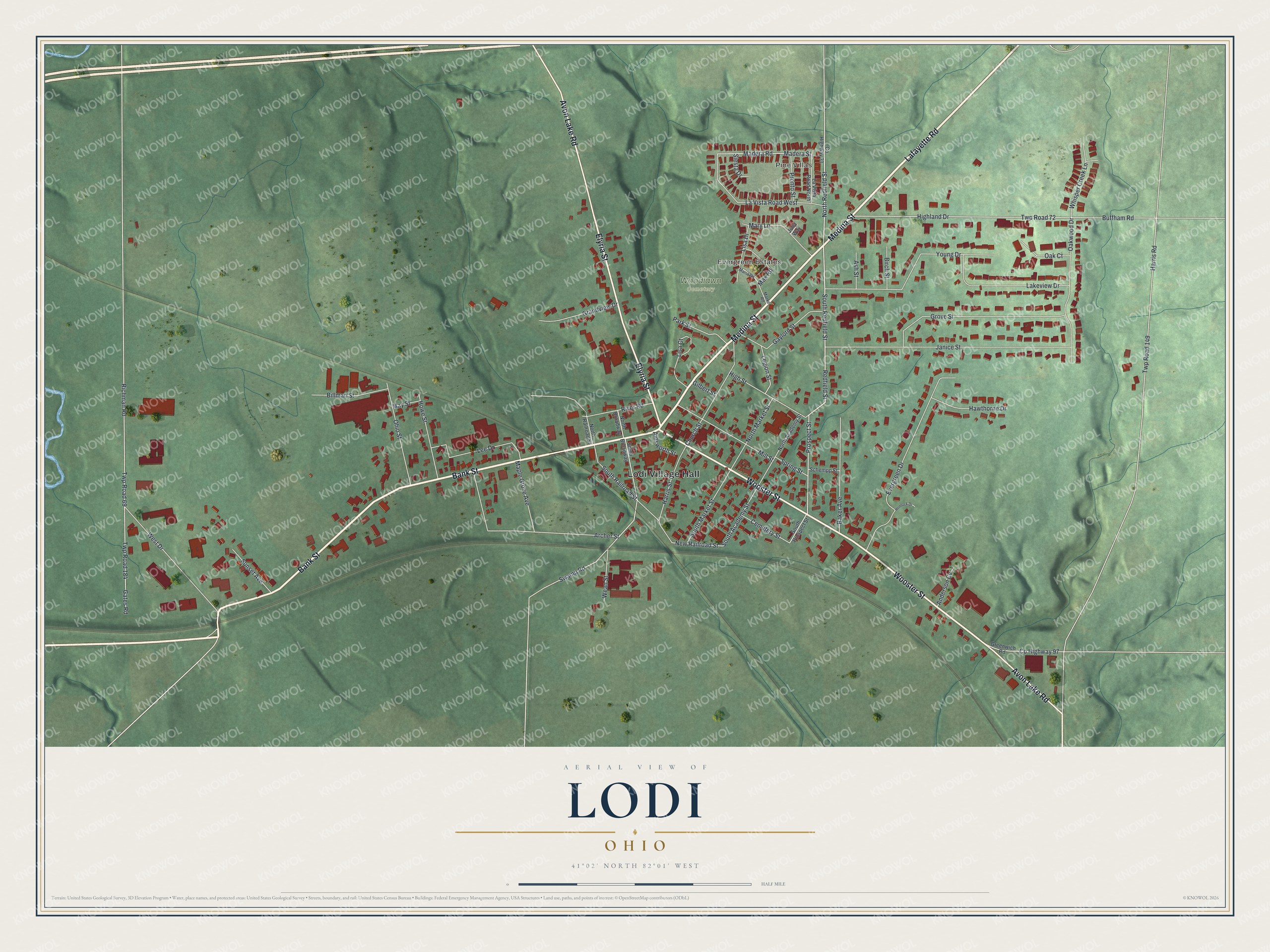
Street and place names on the Lodi, Ohio map
These names are printed on the map of Lodi, Ohio.
Places: Lodi Village Hall, Pine Villas, Evergreen Estates and Woodlawn Cemetery.
Streets and roads: Medina Street, Lafayette Road, Wooster Street, Elyria Street, Bank Street, Avon Lake Road, Redfield Street, Prospect Street, North Redfield Street, South Academy Street, New Railroad Street, Swamp Road.
More street names, A to Z
Ainsworth Street, Anderson Cv, Archer Street, Ash Street, Baker Avenue, Billman Street, Birch Street, Buffham Road, Cemetery Street, Church Street, County Highway 31, County Highway 97, Evergreen Drive, Gates Road, Gaylord Street, Gilbert Street, Grandview Drive, Greenwich Road, Grove Street, Harris Road, Harris Street, Hawthorne Drive, Hemlock Drive, Highland Drive, High Street, Howe Street, Janice Street, Julia Way, Lakeview Drive, La Vista Road North, La Vista Road West, Lee Drive, Legion Street, Lisa Court, Lisa Drive, Madera Road, Madera Street, Maple Grove Avenue, Maria Road, Marks Road, Mary Lane, Max Road, May Street, Mill Street, North Academy Street, North Broadway, North Market Street, North Railroad Street, Oak Court, Oakwood Drive, Ohio Street, Park Street, Pronto Street, Richman Road, River Road, Schempp Street, Siesta Drive, South Broadway, South Market Street, South Prospect Street, South Railroad Street, South Redfield Street, Spring Street, Sunset Avenue, Twp Road 69, Twp Road 72, Twp Road 149, Twp Road 184, Wean Street, West Drive, Whisper Creek Lane, Young Drive.
See the Lodi, Ohio map on a wall
The Lodi map as an 18 x 24 inch print in a black frame.

This beautifully detailed map of Lodi makes an attractive addition to your office, library, or den, and it can even be used to teach children the geography and history of the area. It also makes a great gift for someone who left Lodi and still calls it home. When you’re done exploring, click here to get your copy of the Lodi map.