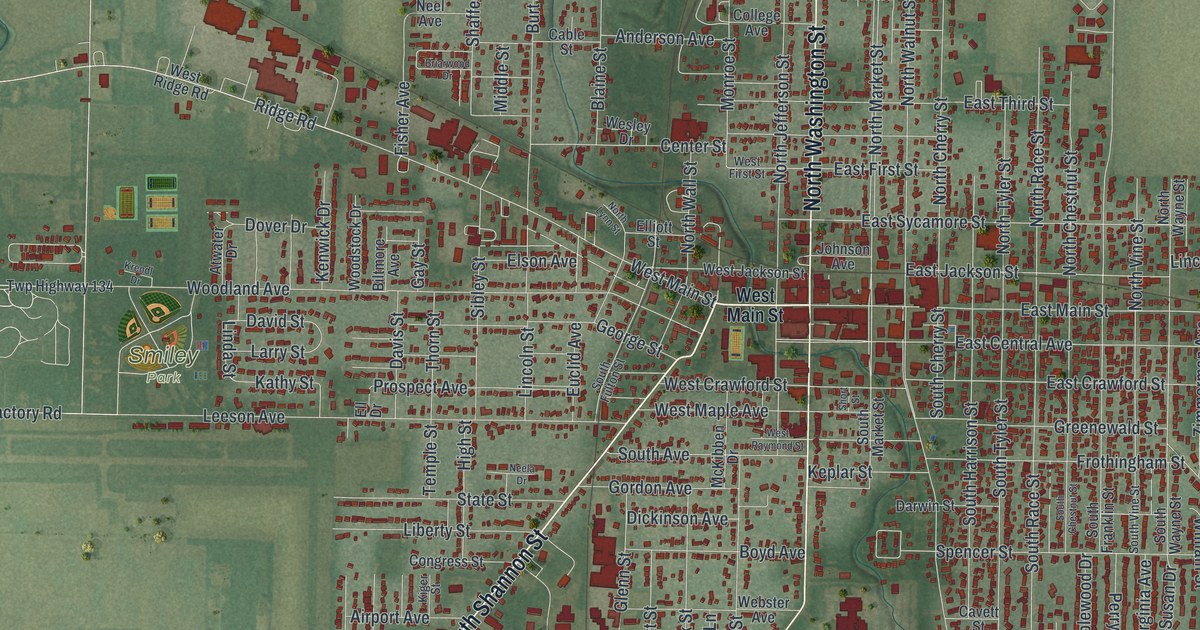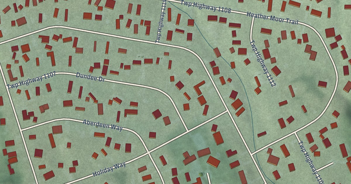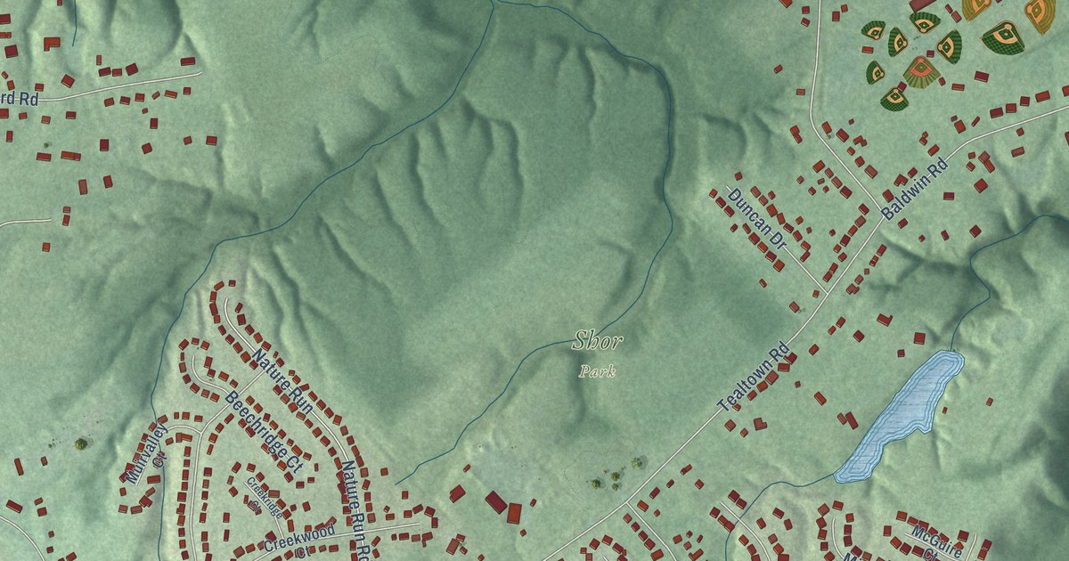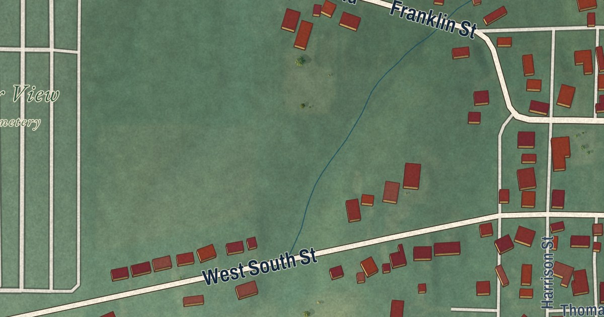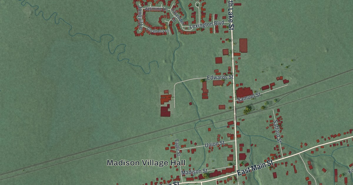
This beautifully detailed map of Madison, Ohio was created in 2026 using aerial imagery combined with modern topographical, census, street and landmark data. It’s a one-of-a-kind view of Madison that combines accurate data with a vintage aesthetic. The map shows every building in its true location, many of the roads carry their names, and the shaded topographic relief shows the shape of the land.
Explore an aerial view of Madison, Ohio
On the map you’ll find Madison Village Hall, Genung Corners, and Fairview Cemetery, along with North Lake Street, County Highway 7, Hubbard Road, South Madison Road, West Main Street, East Main Street, River Street, Warner Road, South Lake Street, and more. If you look closely you can even find your house accurately drawn in its correct location. Zoom in on the preview to look for yours.
Did you know this piece of Madison, Ohio history?
A. A. Genung opened a foundry in Madison in 1842, casting sad irons and other small goods. His brother William H. Genung took it over in 1851. In April 1858 the foundry burned, leaving William broke and six hundred dollars in debt. He went right to work, rebuilt that summer, and poured his first new iron in October. That’s from the 1879 History of Geauga and Lake Counties, Ohio.
Take a closer look at the Madison map
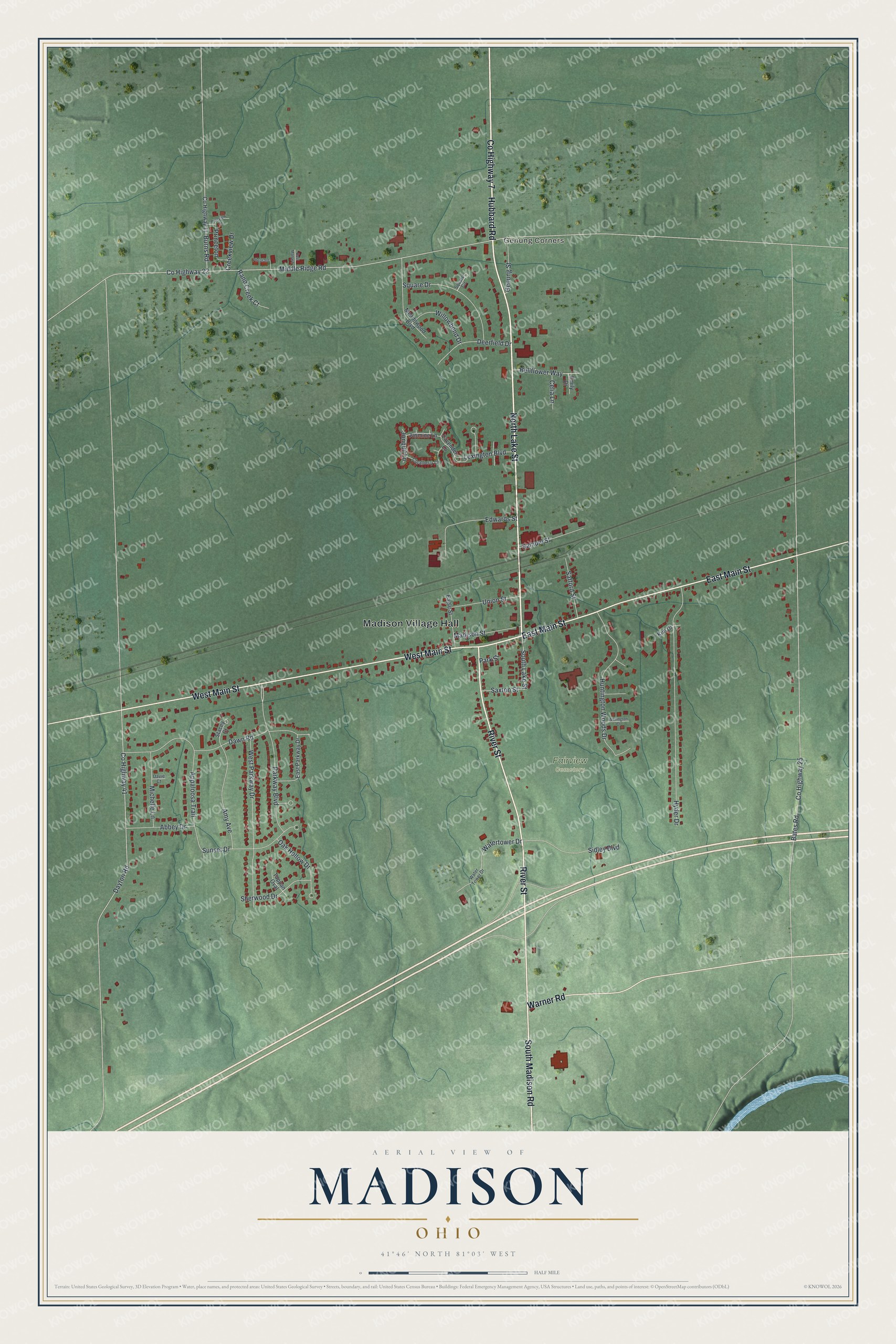
Street and place names on the Madison, Ohio map
These names are printed on the map of Madison, Ohio.
Places: Madison Village Hall, Genung Corners and Fairview Cemetery.
Streets and roads: North Lake Street, County Highway 7, Hubbard Road, South Madison Road, West Main Street, East Main Street, River Street, Warner Road, South Lake Street, Watertower Drive, Parkway Boulevard, County Highway 41.
More street names, A to Z
Abbey Drive, Amy Avenue, Appaloosa Trail, Bates Road, Bellflower Way, Burns Road, Celia Lane, Coralberry Lane, County Highway 11, County Highway 22, County Highway 25, Creekview Drive, Davie Court, Dawn Road, Dayton Road, Deerfield Drive, Eagle Street, East Mallard, East Parkway Drive, Edwards Street, Emily Drive, Genung Street, Huntington Woods Drive, Hyder Drive, Jasmine Lane, Jonquil Lane, Kim Drive, Lavender Lane, Lexington Boulevard, Madison Street, Meadowood Boulevard, Michelle Lane, Middle Ridge Road, Oak Hollow Drive, Park Street, Pheasant, Pineview Drive, Princeton, Rand Creek Court, Safford Street, Samuel Street, Saxton Street, Sherwood Drive, Sidley Boulevard, Square Circle, Square Drive, Stacey Court, Sunset Drive, Tappan Oval, Union Street, Water Tower Drive, Wellington Court, West Parkway Drive, Willowbend Drive.
See the Madison, Ohio map on a wall
The Madison map as an 18 x 24 inch print in a black frame.

This beautifully detailed map of Madison makes an attractive addition to your office, library, or den, and it can even be used to teach children the geography and history of the area. It also makes a great gift for anyone with Madison roots. When you’re done exploring, click here to get your copy of the Madison map.