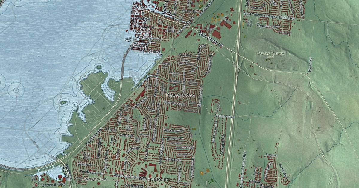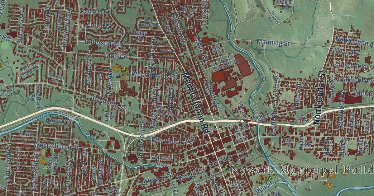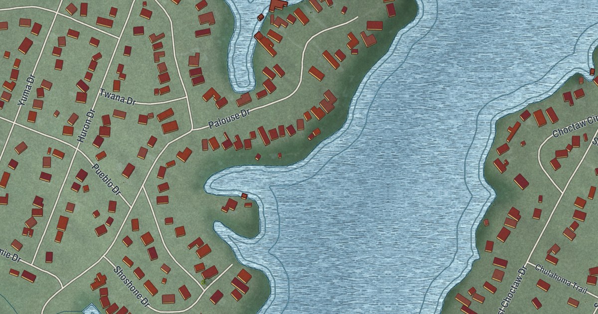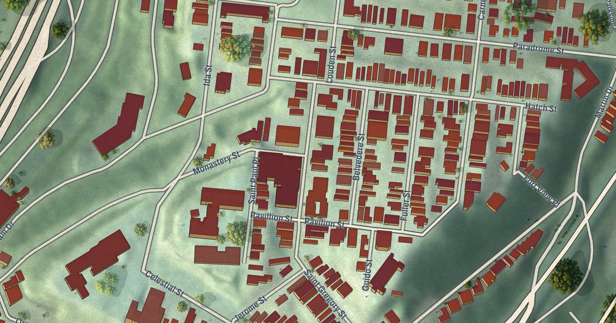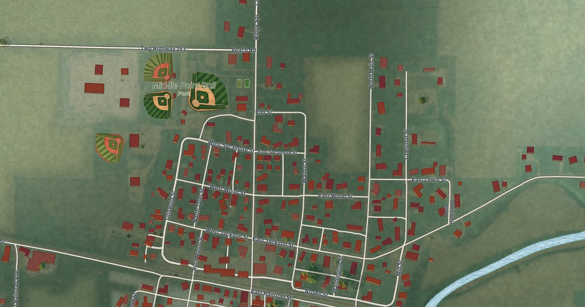
This beautifully detailed map of Middle Point, Ohio was created in 2026 using aerial imagery combined with modern topographical, census, street and landmark data. It’s a one-of-a-kind view of Middle Point that combines accurate data with a vintage aesthetic. The map shows every building in its true location, many of the roads carry their names, and the shaded topographic relief shows the shape of the land.
Explore an aerial view of Middle Point, Ohio
On the map you’ll find Middle Point Ball Park, along with Brown Street, Griswold Street, East Bellis Road, West Sycamore Street, Mill Street, Bellis Road, West Bellis Road, South Adams Street, Scott Road, West Railroad Street, Foster Road, and more. If you look closely you can even find your house accurately drawn in its correct location. Zoom in on the preview to look for yours.
Did you know this piece of Middle Point, Ohio history?
From the 1906 History of Van Wert County, Ohio: "MIDDLEPOINT. This village is situated on the Pittsburgh, Fort Wayne & Chicago Railway, half way between Van Wert and Delphos. It was laid out in 1852 by L. B. and Id. N. Sykes, and since then there have been several additions added to it."
Take a closer look at the Middle Point map
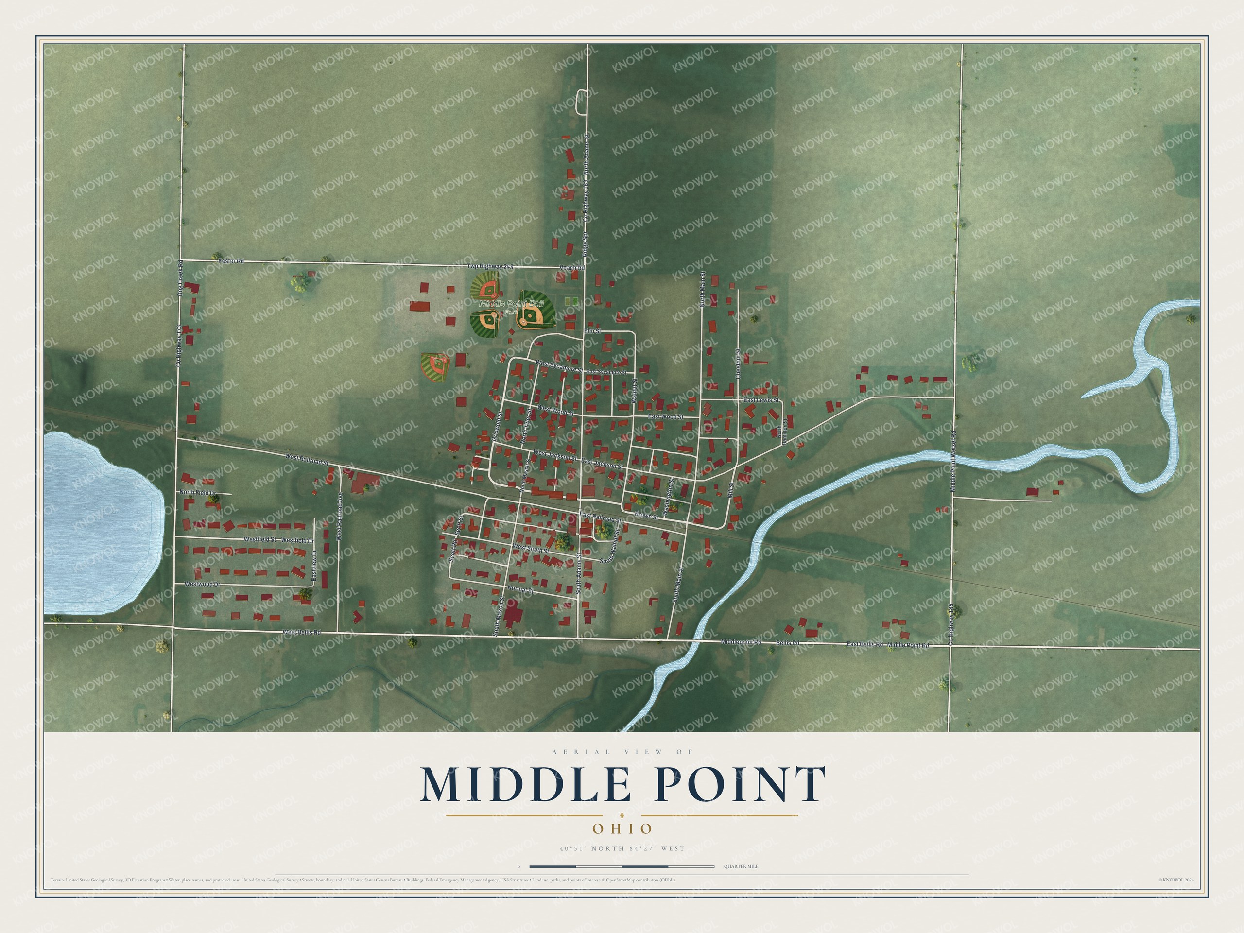
Street and place names on the Middle Point, Ohio map
These names are printed on the map of Middle Point, Ohio.
Places: Middle Point Ball Park.
Streets and roads: Brown Street, Griswold Street, East Bellis Road, West Sycamore Street, Mill Street, Bellis Road, West Bellis Road, South Adams Street, Scott Road, West Railroad Street, Foster Road, Twp Highway 243.
More street names, A to Z
Chestnut Street, County Highway 173, County Highway 183, County Highway 185, Dog Creek Road, East Jackson Street, East Lewis Street, East Railroad Street, East Sycamore Street, Eastview Drive, East Wood Street, Elm Street, Middle Point Road, Middlepoint Road, Middle Point Wetzel Road, Normal Street, North Adams Street, North Field Drive, North Hamilton Street, North Main Street, North Mason Street, North Tyler Street, Ridge Spr, Scott Street, South Main Street, South Mason Street, South Walnut Street, Veach Road, Walnut Street, Washington Street, Westfield Drive, Westfield Street, West Jackson Street, West Railroad Avenue, West South Street, Westwood Drive, West Wood Street.
See the Middle Point, Ohio map on a wall
The Middle Point map as an 18 x 24 inch print in a black frame.

This beautifully detailed map of Middle Point makes an attractive addition to your office, library, or den, and it can even be used to teach children the geography and history of the area. It also makes a great gift for anyone with Middle Point roots. When you’re done exploring, click here to get your copy of the Middle Point map.