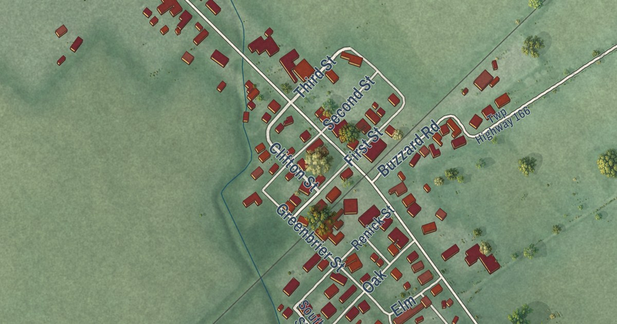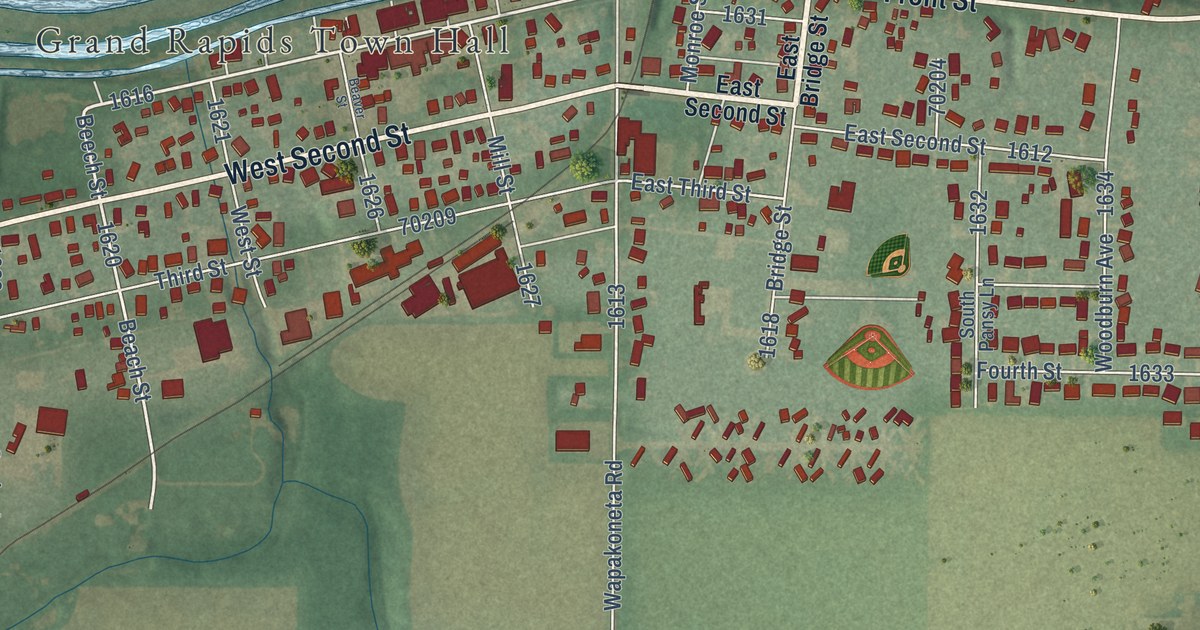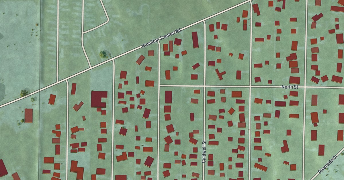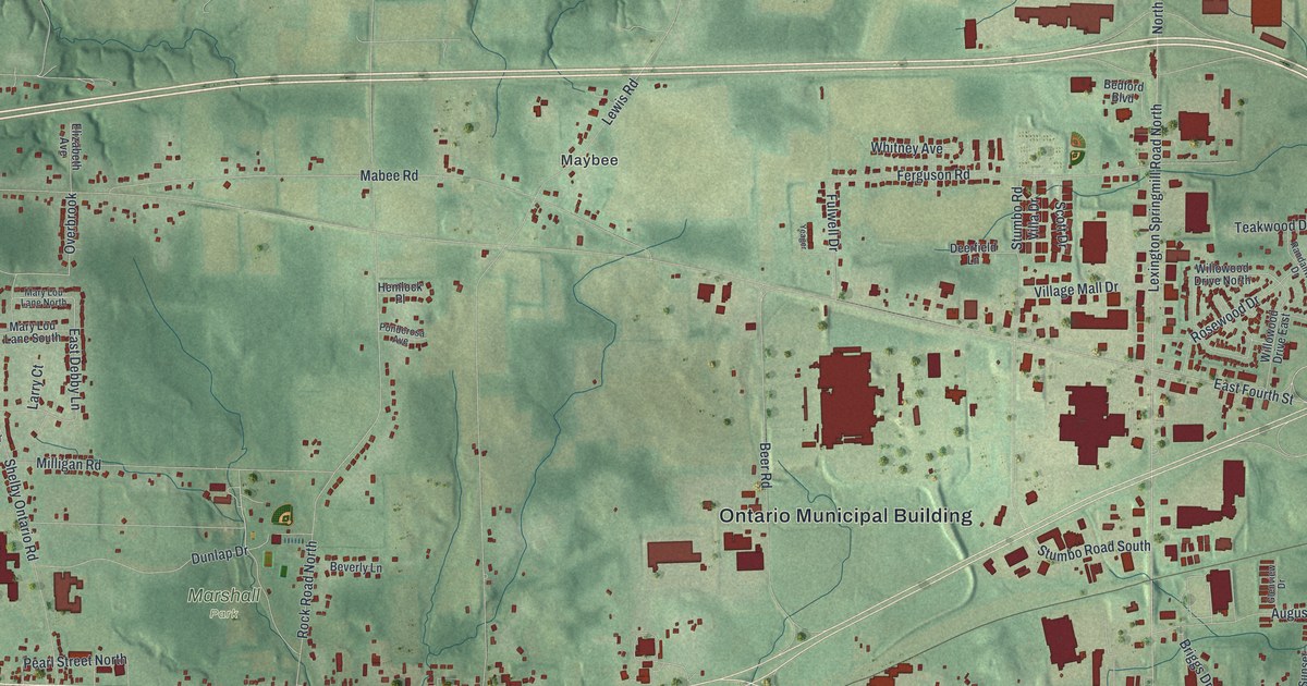
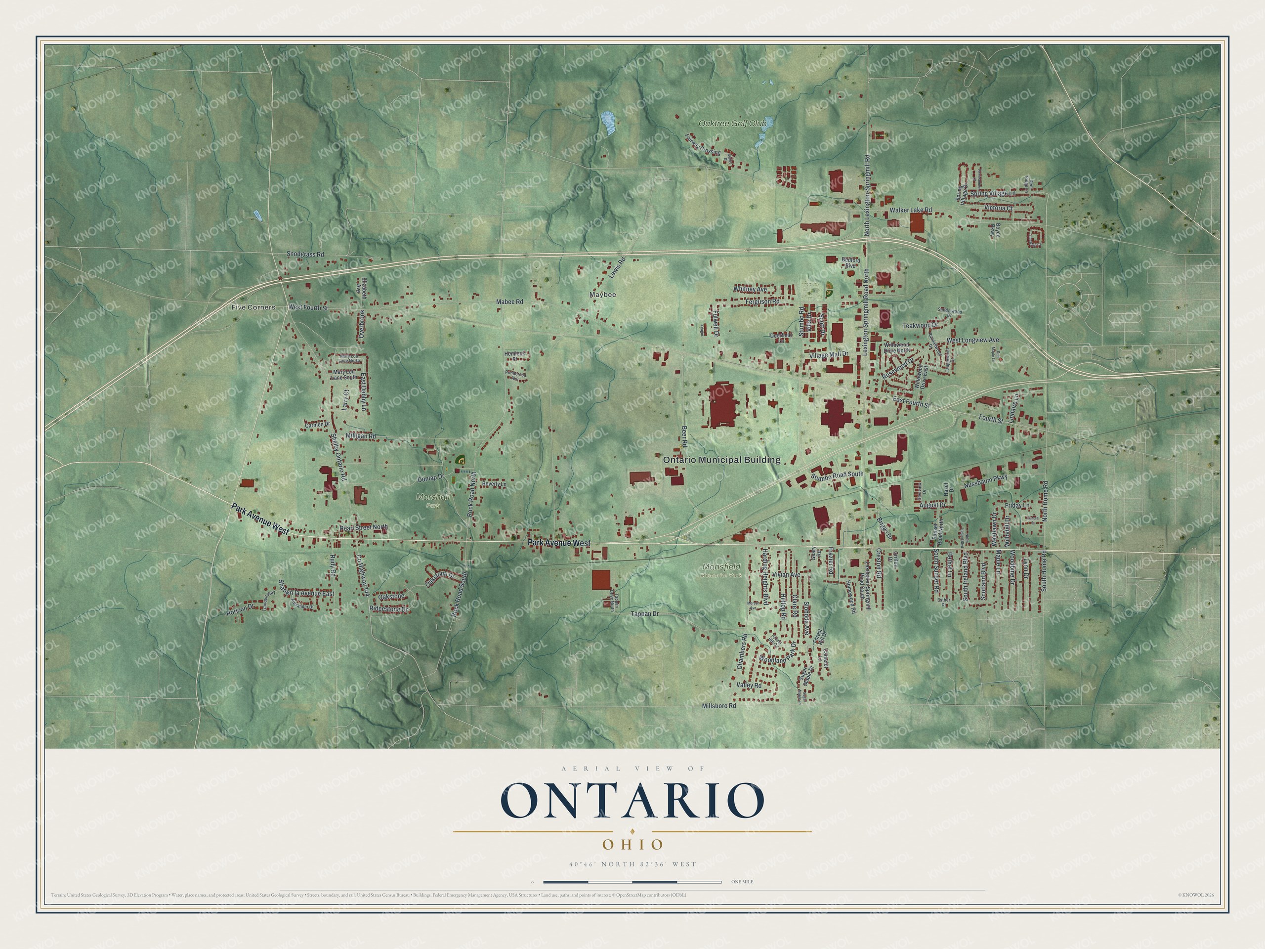
This beautifully detailed map of Ontario, Ohio was created in 2026 using aerial imagery combined with modern topographical, census, street and landmark data. It’s a one-of-a-kind view of Ontario that combines accurate data with a vintage aesthetic. The map shows every building in its true location, many of the roads carry their names, and the shaded topographic relief shows the shape of the land.
Explore an aerial view of Ontario, Ohio
On the map you’ll find Ontario Municipal Building, Five Corners, Maybee, Mansfield Memorial Park, Marshall Park, Oaktree Golf Club, and Overbrook, along with Park Avenue West, East Debby Lane, East Fourth Street, Rock Road North, West Fourth Street, and more. If you look closely you can even find your house accurately drawn in its correct location. Zoom in on the preview to look for yours.
Did you know this piece of Ontario, Ohio history?
From the 1880 History of Richland County, Ohio: "The original members of the first organization at Ontario were Samuel G. Craig, wife and daughter, John Finney, Dr. Samuel G. Miller and wife, James C. Robinson and wife, and Mrs. Joseph Roe."
Take a closer look at the Ontario map
Street and place names on the Ontario, Ohio map
These names are printed on the map of Ontario, Ohio.
Places: Ontario Municipal Building, Five Corners, Maybee, Mansfield Memorial Park, Marshall Park and Oaktree Golf Club.
Streets and roads: Park Avenue West, East Debby Lane, Overbrook, East Fourth Street, Rock Road North, West Fourth Street, Lexington Springmill Road North, North Lexington-Springmill Road, Walker Lake Road, North Home Road, Lewis Road, Mabee Road.
More street names, A to Z
Alexander Drive, August Drive, Bedford Boulevard, Beer Road, Benbrandon Court, Bethel Lane, Beverly Lane, Bogey Drive, Boyce Parkway, Briggs Drive, Camelot Lane, Carmen Drive, Chambers Road, Clare Road, County Highway 144, Creston Road, Deerfield Lane, Deer Ridge Lane, Dunlap Drive, Elizabeth Avenue, Esther Drive, Fairway Crossing, Ferguson Road, Forest Hill Circle, Forest Hill Drive, Fourth Street, Frazier Road, Friday Lane, Fulwell Drive, Geary Road, Glenview Drive, Griffon Drive, Harding Heights Boulevard, Hazel Drive, Hemlock Place, Hilltop Road, Homewood Road, Horizon Drive, Landings Court, Larry Court, Lexington-Springmill Road South, Lindaire Lane, Lynn Drive, Maple Lane, Mary Lou Lane North, Mary Lou Lane South, Mercer Avenue, Milligan Road, Millsboro Road, North Ireland Boulevard, Nussbaum Parkway, Oakstone, Oakstone Drive, Oxford Street, Pearl Street North, Ponderosa Avenue, Randallwood Drive, Red Maple Lane, Ridgestone Drive, Rock Road South, Rosewood Drive, Rudy Road, Sandelwood Drive, Scotland Boulevard, Scott Drive, Shangri la Avenue East, Shelby Ontario Road, Sloboda Avenue, Snodgrass Road, South Home Road, South Ireland Boulevard, South Sunset Road, Spring Village Drive, Spring Village Lane, Stumbo Road, Stumbo Road South, Sugar Maple Drive, Sugar Maple Lane, Sunset Road North, Tanglewood Drive, Tappan Drive, Tappan Drive North, Teakwood Drive, Tranquil Way, Valley Road, Victoria Court, Villa Drive, Village Mall Drive, Vivian Avenue, Westlawn Drive, West Longview Avenue, Whitney Avenue, Willodell Drive, Willowood Drive East, Willowood Drive North, Woodbine Drive, Woodland Park Drive, Yeager.
See the Ontario, Ohio map on a wall
The Ontario map as an 18 x 24 inch print in a black frame.

This beautifully detailed map of Ontario makes an attractive addition to your office, library, or den, and it can even be used to teach children the geography and history of the area. It also makes a great gift for anyone who grew up in Ontario or moved away. When you’re done exploring, click here to get your copy of the Ontario map.