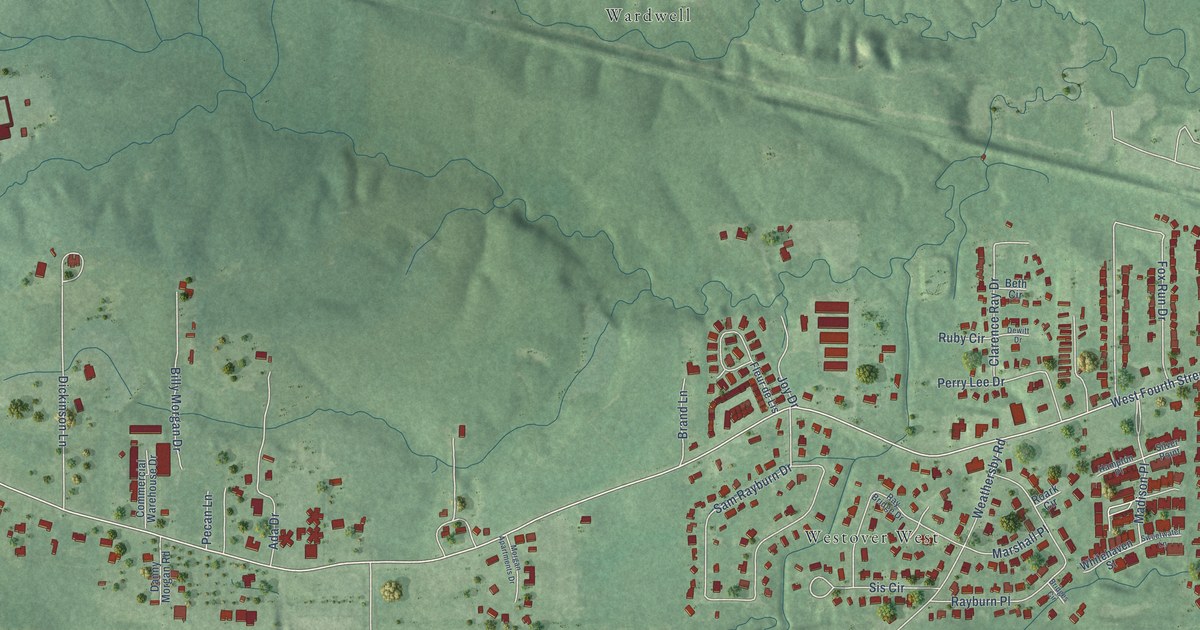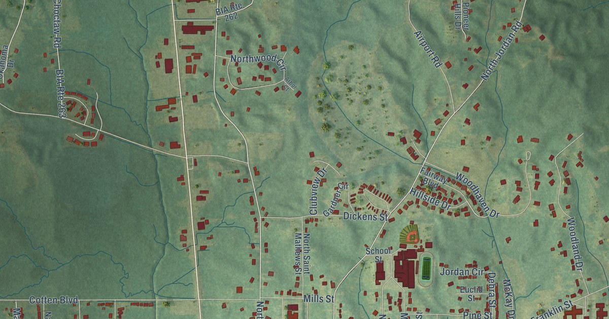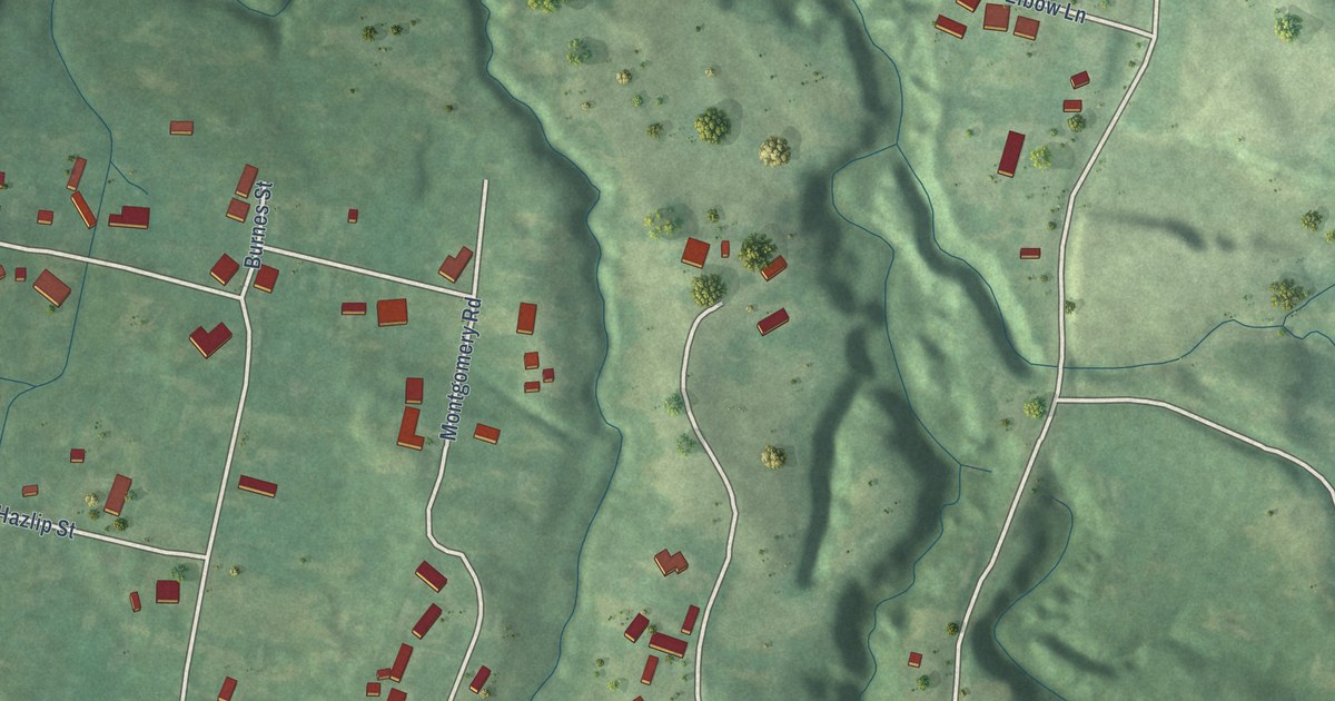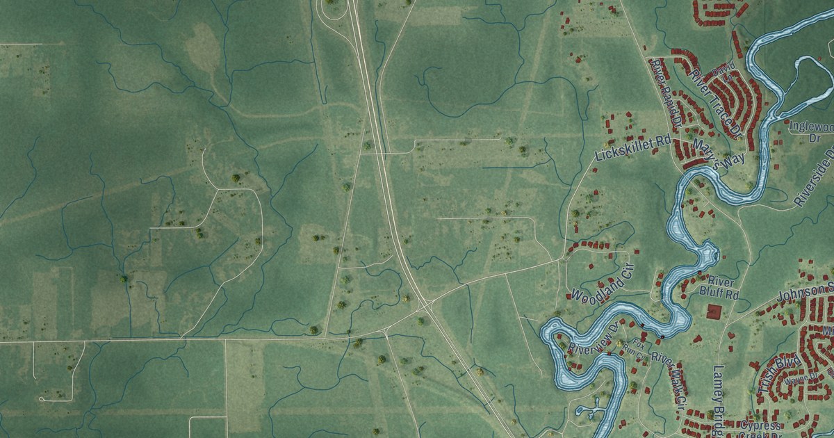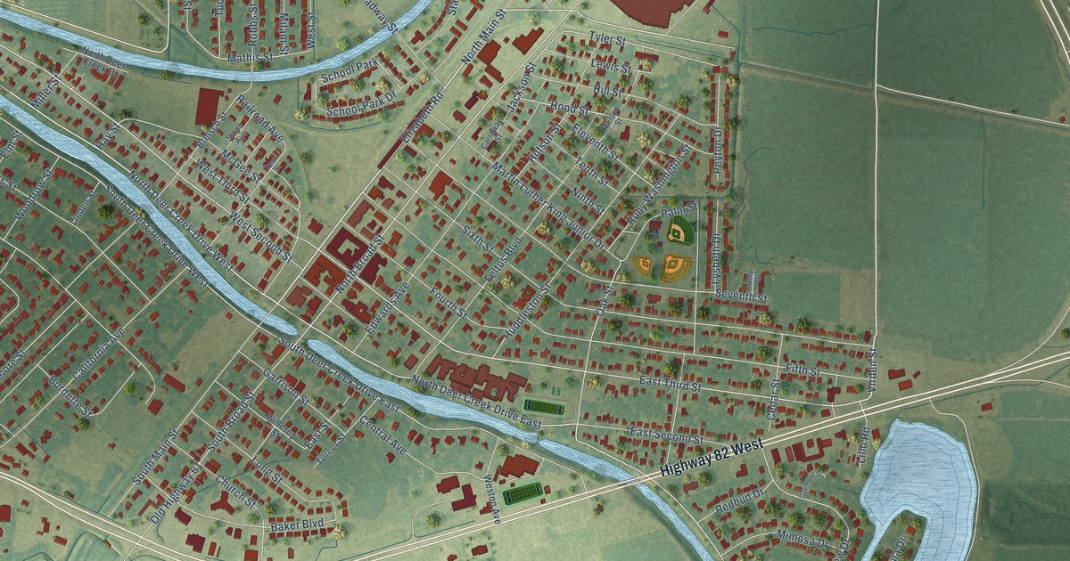
This beautifully detailed map of Leland, Mississippi was created in 2026 using aerial imagery combined with modern topographical, census, street and landmark data. It’s a one-of-a-kind view of Leland that combines accurate data with a vintage aesthetic. The map shows every building in its true location, many of the roads carry their names, and the shaded topographic relief shows the shape of the land.
Explore an aerial view of Leland, Mississippi
On the map you’ll find Highway 82 West, Virden Street, North Main Street, East Third Street, West Second Street, Jackson Street, North Broad Street, Tyler Street, Oak Street, Baker Boulevard, Railroad Avenue, Mathis Street, and more. If you look closely you can even find your house accurately drawn in its correct location. Zoom in on the preview to look for yours.
Did you know this piece of Leland, Mississippi history?
From Dunbar Rowland’s 1907 encyclopedia of Mississippi history: "The Leland Cotton Co., organized in 1903 for the purpose of selling cotton, is the only organization of its kind in existence."
Take a closer look at the Leland map
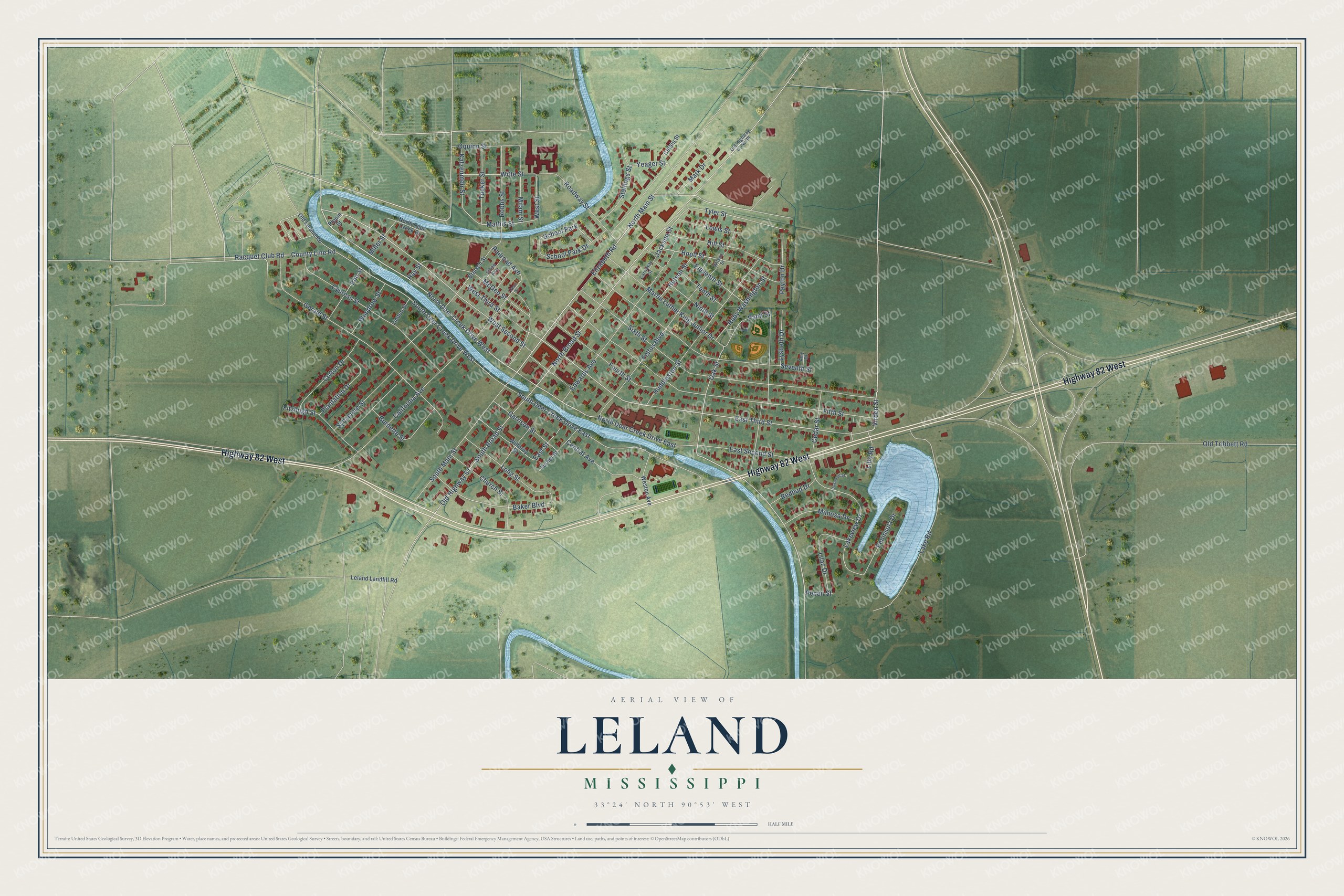
Street and place names on the Leland, Mississippi map
These names are printed on the map of Leland, Mississippi.
Places: School Park.
Streets and roads: Highway 82 West, Virden Street, North Deer Creek Drive West, North Main Street, North Deer Creek Drive East, East Third Street, West Second Street, Jackson Street, South Deer Creek Drive West, North Broad Street, Tyler Street, Oak Street.
More street names, A to Z
Amy Drive, Baker Boulevard, Breisch Street, Burdette Street, California Avenue, Carraway Street, Cedar Street, Cefalu Street, Central Avenue, Church Street, Cotton Drive, County Line Road, Cypress Street, Dean Street, Dogwood Street, East Second Street, East Street, Edwards Avenue, Eleventh Street, Elizabeth Road, Elm Street, Feltus Boulevard, Fifth Street, Fitzhugh Street, Fourth Street, Garrison Street, Gerald Street, Hay Street, Hill Street, Hood Street, Huddleston Street, Hutson Street, Katzenmeir Street, Lake Road, Lakeview Drive, Leland Landfill Road, Lewis Street, Lilac Drive, Lillo Road, Linden Street, Long Street, Lysbeth Drive, Mark Drive, Martin Luther King Junior Drive, Mathis Street, McGee Street, Milam Street, Miller Street, Mimosa Drive, Ninth Street, North Deer Creek Drive, Old Highway 61, Old Highway 61 North, Old Leland Road, Old Tribbett Road, Oquinn Street, Palm Street, Pecan Street, Peninsula Drive, Peyton Drive, Pippin Street, Plantation Drive, Racquet Club Road, Railroad Avenue, Redbud Drive, Roadway Street, Robbs Street, Ruby Washington Street, School Park Drive, Seventh Street, Sixth Street, South Broad Street, South Deer Creek Drive East, South Main Street, Stallings Street, Stone Avenue, Sycamore Street, Tenth Street, Tucker Street, Turner Street, Weston Avenue, West Street, West Third Street, Willeroy Street, Wilson Street, Witte Street, Woodrow Street, Yeager Street.
See the Leland, Mississippi map on a wall
The Leland map as an 18 x 24 inch print in a black frame.

This beautifully detailed map of Leland makes an attractive addition to your office, library, or den, and it can even be used to teach children the geography and history of the area. It also makes a great gift for anyone who grew up in Leland or moved away. When you’re done exploring, click here to get your copy of the Leland map.