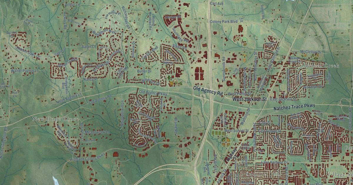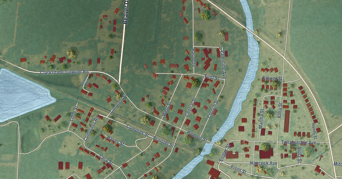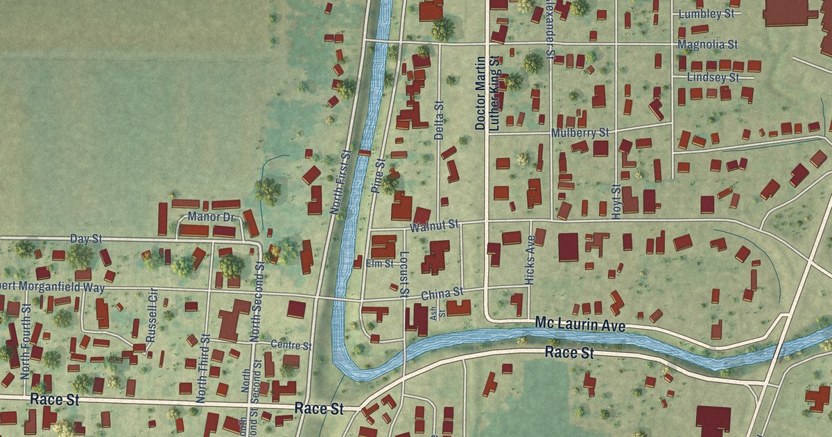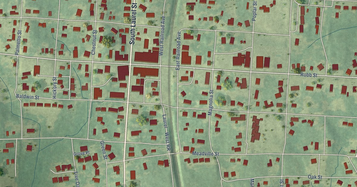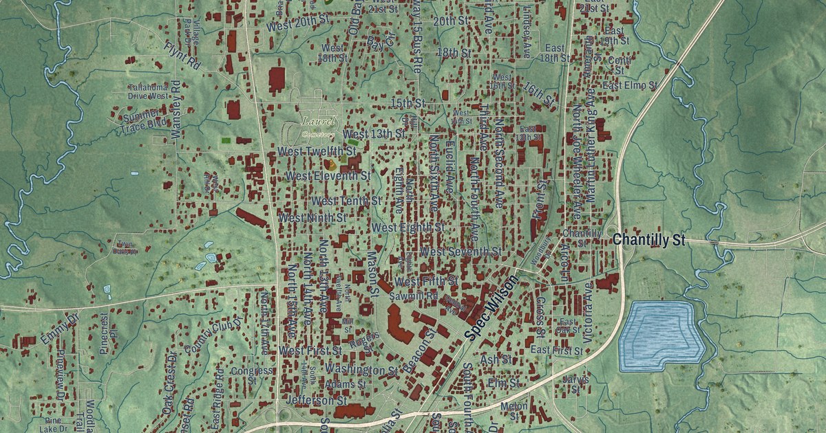
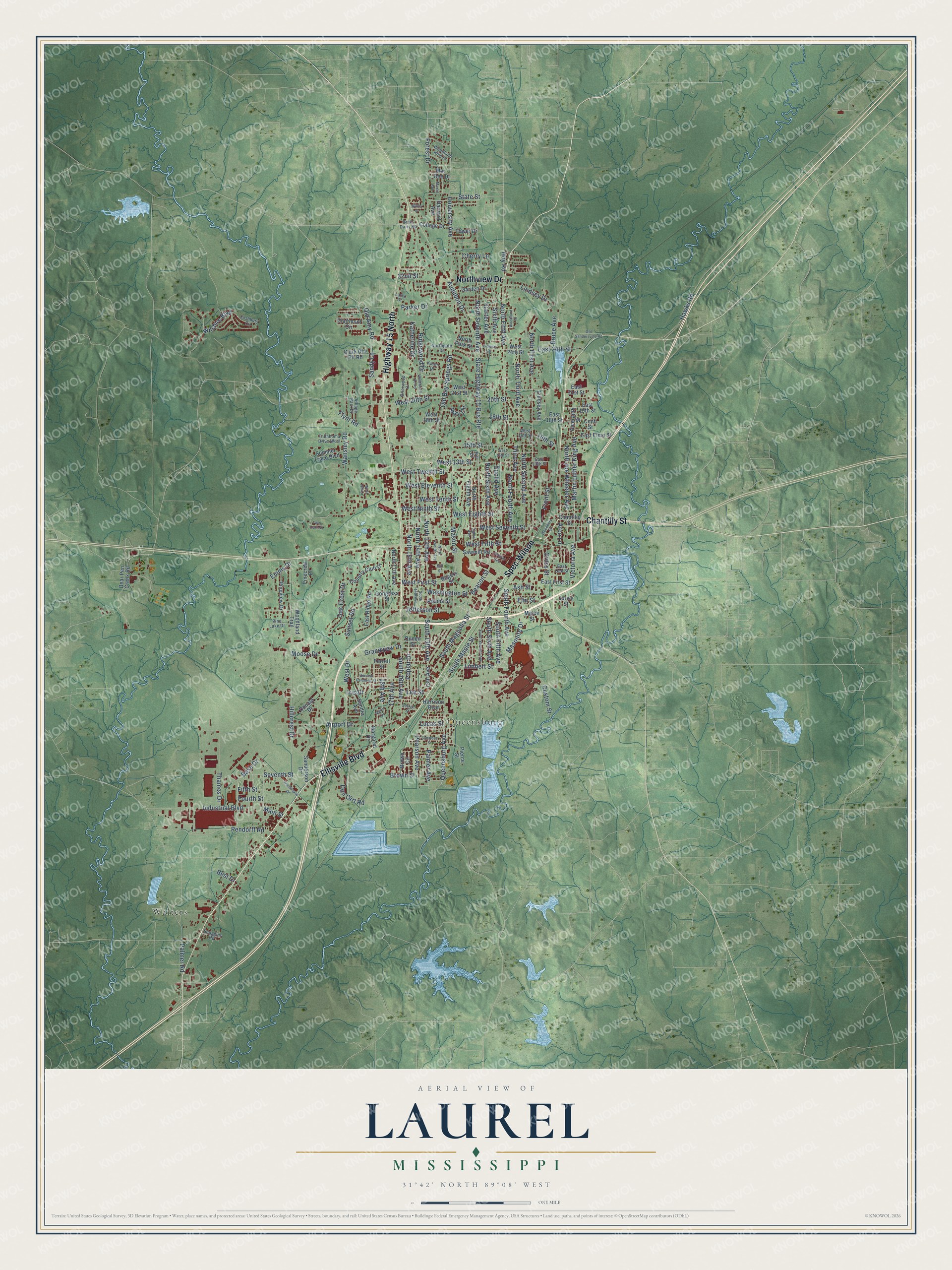
This beautifully detailed map of Laurel, Mississippi was created in 2026 using aerial imagery combined with modern topographical, census, street and landmark data. It’s a one-of-a-kind view of Laurel that combines accurate data with a vintage aesthetic. The map shows every building in its true location, many of the roads carry their names, and the shaded topographic relief shows the shape of the land.
Explore an aerial view of Laurel, Mississippi
On the map you’ll find Laurel Cemetery, Queensburg, Walters, and Spec Wilson, along with Chantilly Street, Ellisville Boulevard, Northview Drive, Highway 15 North, South Fourth Avenue, West Twelfth Street, Queensburg Avenue, West 13th Street, and more. If you look closely you can even find your house accurately drawn in its correct location. Zoom in on the preview to look for yours.
Did you know this piece of Laurel, Mississippi history?
From Mississippiencyclopedia.org: "Beginning in the 1920s Jones County became an important location for the arts. In 1923 the Lauren Rogers Museum of Art was established in Laurel. It features an exciting combination of American, European, and Japanese art and is currently the state’s oldest art museum. In 1922 Laurel teacher Ernestine Clayton Deavours edited and published Mississippi Poets, the first substantial literary anthology of Mississippi writers."
Take a closer look at the Laurel map
Street and place names on the Laurel, Mississippi map
These names are printed on the map of Laurel, Mississippi.
Places: Laurel Cemetery, Queensburg and Walters.
Streets and roads: Chantilly Street, Spec Wilson, Ellisville Boulevard, Northview Drive, Highway 15 North, South Fourth Avenue, West Twelfth Street, Queensburg Avenue, West 13th Street, Hawks Road, South 16th Avenue, West Fifth Street.
More street names, A to Z
13th Avenue, 15th Street, 16th Street, 17th Avenue, 18th Avenue, 18th Street, 20th Street, 32nd Street, Adams Street, Airport Drive, Ameranth Street, Arco Lane, Ash Street, Audubon Drive, Base Drive, Bay Circle, Beacon Street, Bear Pen Creek Road, Best Drive, Briarwood Drive, Brown Circle, Brown Street, Bruce Avenue, Bush Dairy Road, Carter Avenue, Central Avenue, Cherry Lane, Clairmont Circle, Clark Dirt Pit Road, College Drive, Congress Street, Conti Street, Country Club Drive, Cross Street, Custom Street, Donald Drive, Don Curt Road, East 13th Street, East 18th Street, East 19th Street, East 21st Street, East 24th Street, East Elmo Street, East First Street, East Oak Street, East Ridge Road, Eighth Avenue, Elm Street, Emmy Drive, Euclid Avenue, Ferrell Street, Fifth Street, Flowers Drive, Flynt Road, Forest Drive, Fourth Street, Front Street, Garden Drive, General Pershing Street, George Street, Grandview Drive, Harrison Boulevard, Harvard Avenue, Hillcrest Drive, Hill Drive, Hoy Road, Industrial Boulevard, Iris Drive, Jarvis Street, Jefferson Street, Joshbury Circle, Karen Drive, Katherine Drive, Larry Drive, Lee Street, Limbert Street, Lindsey Avenue, Lindsey Drive, Lucas Street, Main Street, Mar - Ree Drive, Margaret Drive, Marie Drive, Martin Avenue, Martin Luther King Avenue, Masonite Drive, Mason Street, Melon Street, Mill Street, Moose Drive, North 13th Avenue, North 14th Avenue, North 15th Avenue, North 17th Avenue, North Eighth Avenue, North Fifth Avenue, North First Avenue, North Fourth Avenue, Northgate Drive, North Joe Wheeler Avenue, North Park Street, North Second Avenue, North Seventh Avenue, North Sixth Avenue, North Third Avenue, North Twelfth Avenue, Oak Crest Drive, Old Amy Road, Old Bay Springs Road, Old Sandersville Road, Palmer Avenue, Palmer Road, Parker Drive, Pearson Avenue, Pendorff Road, Pierce Street, Pinecrest Place, Pine Lake Drive, Pineview Drive, Poplar Drive, Queen Street, Ridgewood Drive, Rogers Street, Sanderson Drive, Sandra Avenue, Sandy Lane, Sawmill Road, Scoggins Road, Seventh Street, Simmons Street, Sixth Avenue, South 13th Avenue, South 14th Avenue, South Fifth Avenue, South Magnolia Street, South Maple Street, South Seventh Avenue, South Sixth Avenue, State Highway 15 Bus Route, State Street, Summer Trace Boulevard, Sunset Road, Tallahoma Drive West, Thames Drive, Third Avenue, Tower Drive, Twin Oaks Place, University Avenue, Victoria Avenue, Village Park Drive, Wansley Road, Warehouse Drive, Washington Street, West 14th Street, West 16th Street, West 18th Street, West 20th Street, West 21st Street, West 24th Street, West Drive, West Eighth Street, West Eleventh Street, West First Street, West Hill Drive, West Ninth Street, West Seventh Street, West Tenth Street, Westwood Acres, Willus Drive, Wilshire Boulevard, Woodbury Drive, Woodland Drive, Woodland Hills Drive, Woodland Trail.
See the Laurel, Mississippi map on a wall
The Laurel map as an 18 x 24 inch print in a black frame.

This beautifully detailed map of Laurel makes an attractive addition to your office, library, or den, and it can even be used to teach children the geography and history of the area. It also makes a great gift for anyone who grew up in Laurel or moved away. When you’re done exploring, click here to get your copy of the Laurel map.