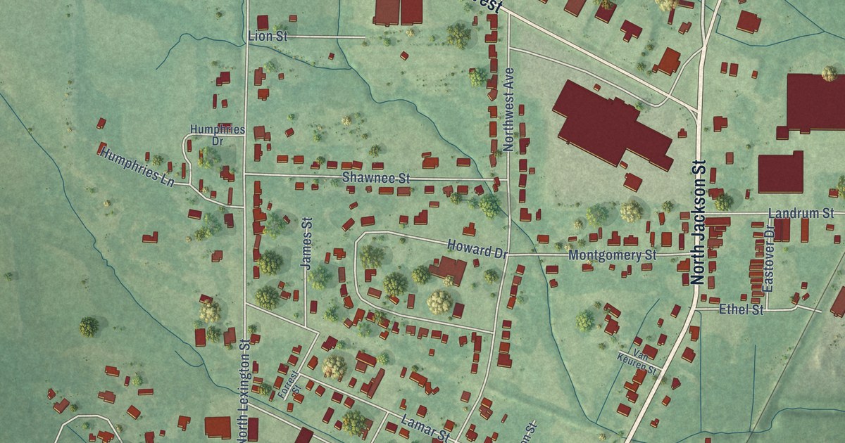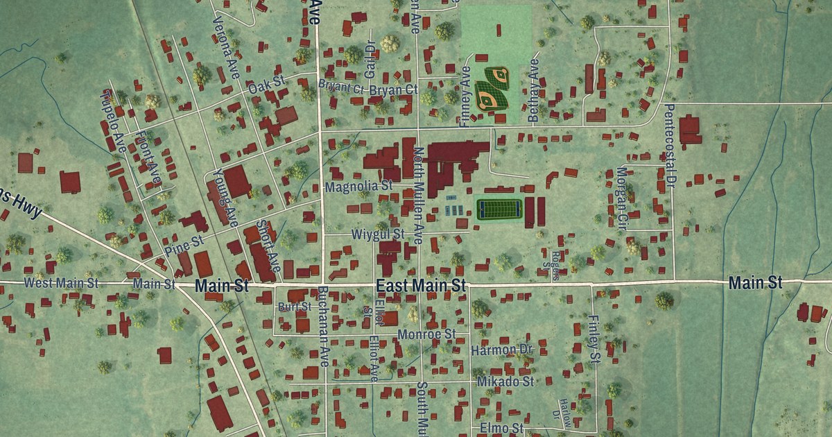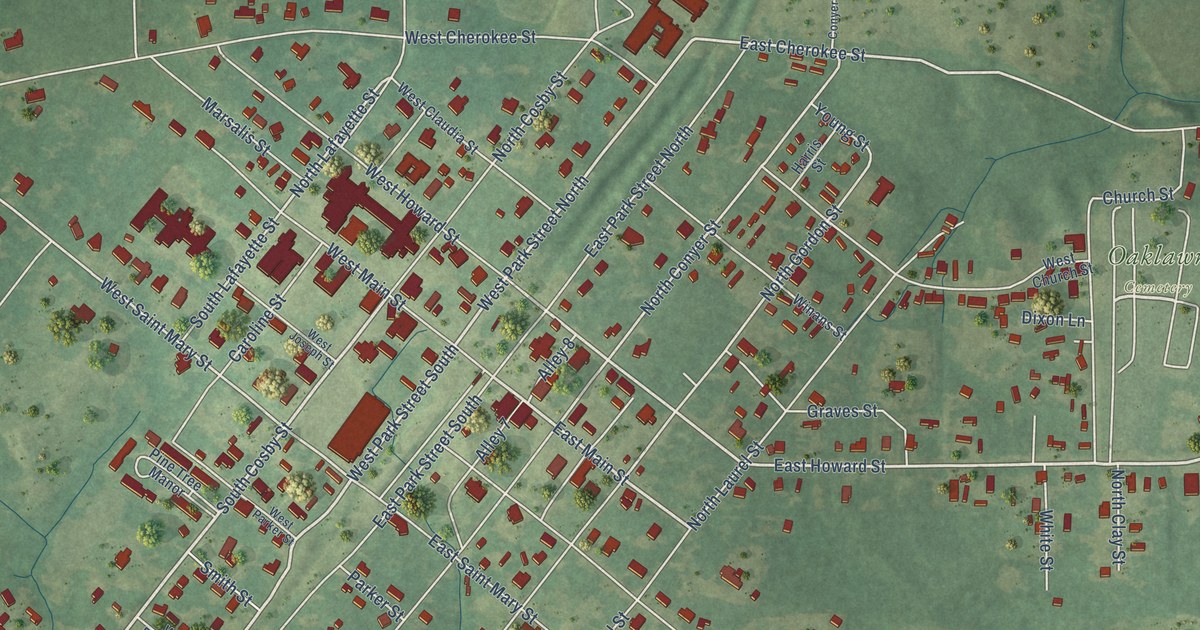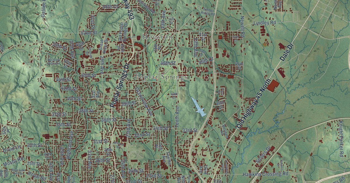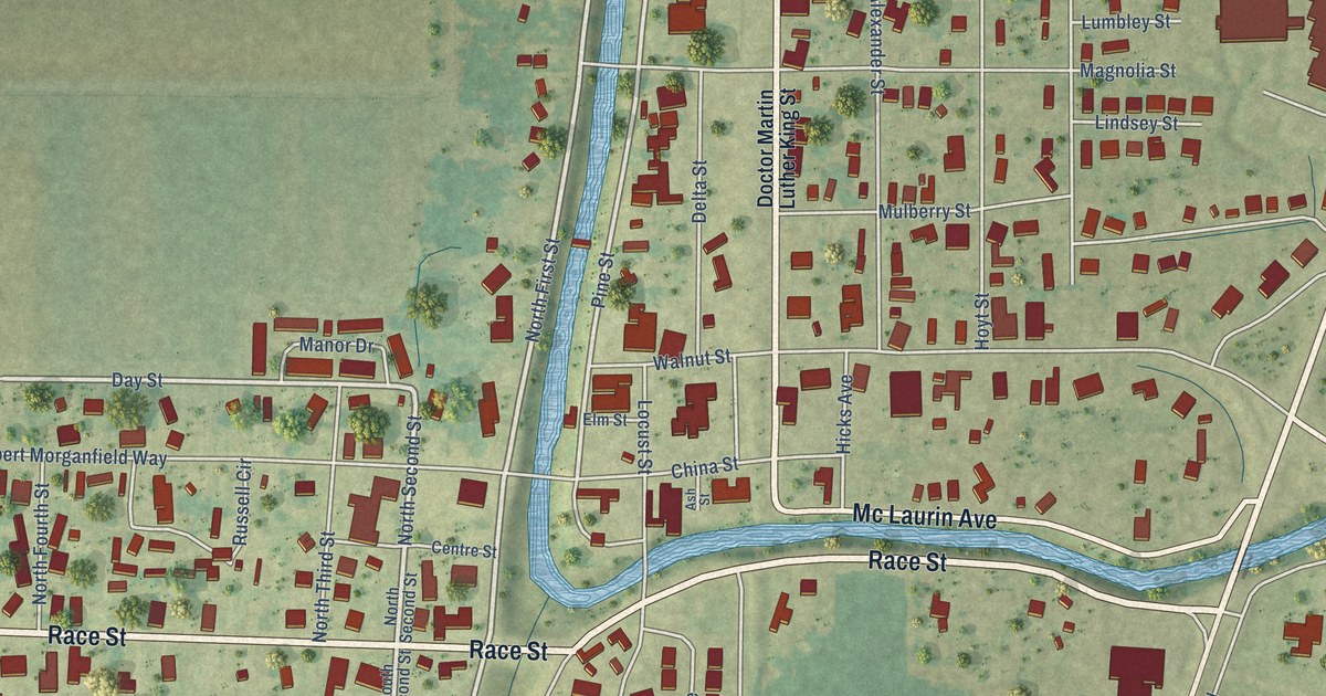
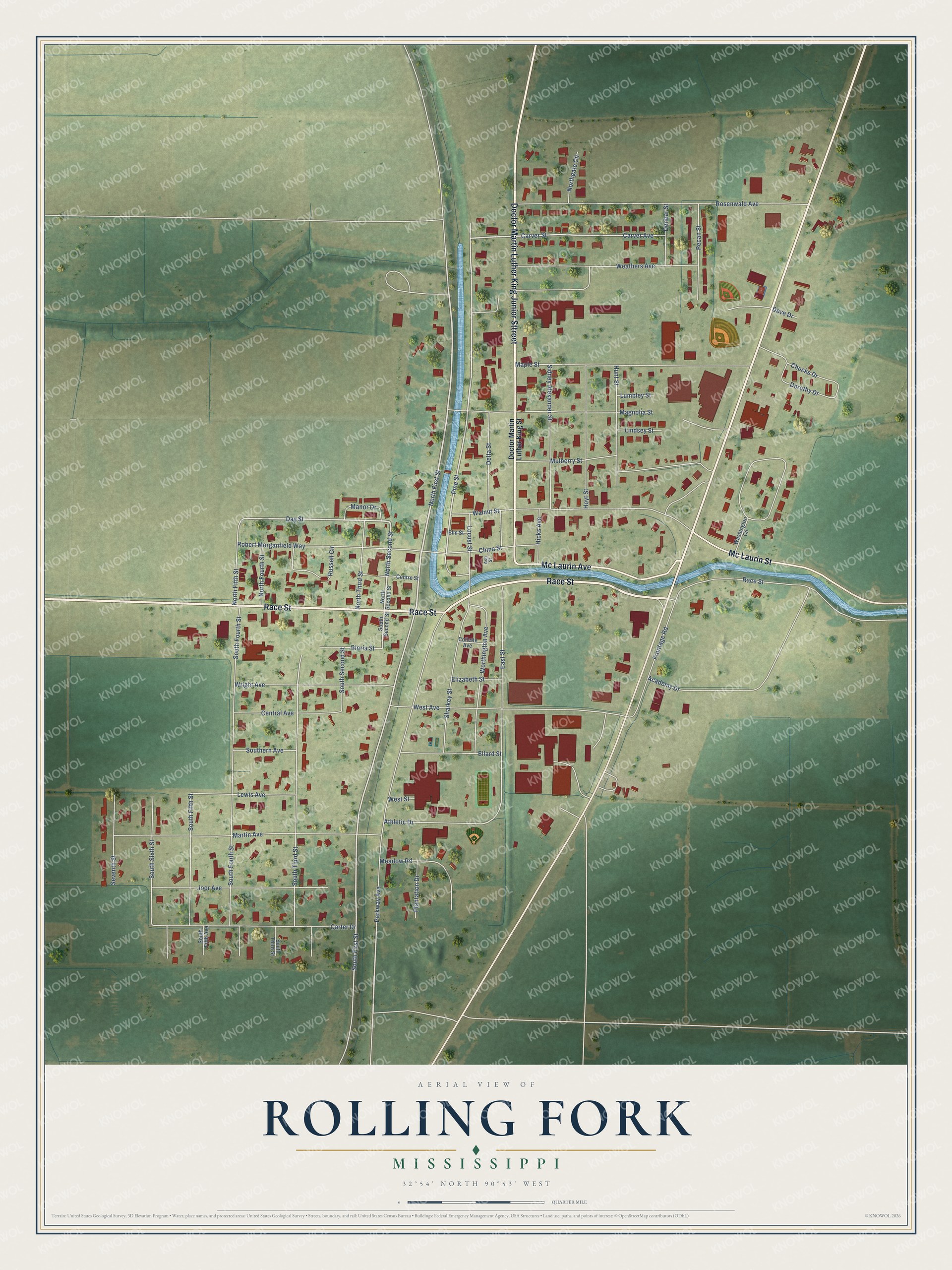
This beautifully detailed map of Rolling Fork, Mississippi was created in 2026 using aerial imagery combined with modern topographical, census, street and landmark data. It's a modern aerial view of Rolling Fork in Sharkey County, Mississippi, that combines modern data with a vintage aesthetic. The roads feature printed names, and if you look closely you can find your exact house accurately shown in its correct location.
Explore an aerial view of Rolling Fork, Mississippi
On this map you'll find Race Street, Doctor Martin Luther King Junior Sttreet, Mc Laurin Avenue, Mc Laurin Street, North Second Street, North First Street, Day Street, South First Street, Pine Street, Carver Street, Parkway Avenue, Rosenwald Avenue, and more. Each red shape is a building, so zoom in on the preview and look for yours.
Every town has a first chapter, and Rolling Fork is no exception. The record at mississippiencyclopedia.org puts it this way: "Gospel singer Willie Mae Ford Smith was born in Rolling Fork in 1904 and like Muddy Waters traveled widely before and during her musical career."
Rolling Fork is a city in Sharkey County. The Census Bureau counted 1,883 people here in 2020.
Take a closer look at the Rolling Fork map
Names on this map
These names are printed on this map.
Streets and roads: Race Street, Doctor Martin Luther King Junior Sttreet, Mc Laurin Avenue, Mc Laurin Street, North Second Street, North First Street, Day Street, South First Street, Pine Street, Carver Street, Parkway Avenue, Rosenwald Avenue.
More street names, A to Z
Academy Drive, Ash Street, Athletic Drive, Carter Drive, Carver Avenue, Central Avenue, Centre Street, China Street, Chucks Drive, Collette Avenue, Delta Street, Doctor Martin Luther King Street, Dorothy Drive, Dove Drive, Dunbar Street, East Street, Elizabeth Street, Ellard Street, Elm Street, Frontage Road, Gloria Street, Hicks Avenue, Hoyt Street, Hunt Street, Joor Avenue, Lewis Avenue, Lindsey Street, Locust Street, Lumbley Street, Magnolia Street, Manor Drive, Maple Street, Martin Avenue, Meadow Road, Mulberry Street, North Fifth Street, North Fourth Street, Northgate Circle, North Third Street, Pecan Street, Plantation Drive, Robert Morganfield Way, Russell Circle, Seventh Street, Sharkey Street, Sidney Alexander Street, Southern Avenue, South Fifth Avenue, South Fifth Street, South Fourth Street, South Fouth Street, South Second Street, South Sixth Street, South Third Street, Walnut Street, Washington Circle, Weathers Avenue, West Avenue, West Street, Worthington Avenue, Wright Avenue.
See it on a wall
The Rolling Fork map as a framed print. Swipe for more.


Created by KNOWOL in 2026. The buildings are small red shapes, the roads carry their printed names, and shaded relief shows the shape of the land. The title panel reads "AERIAL VIEW OF ROLLING FORK, MISSISSIPPI" with 32°54' NORTH 90°53' WEST.
Hang it in the hallway, the office or the cabin, or give it to someone who left Rolling Fork and still calls it home. Open the preview and look for a street you know. See sizes and frames for the Rolling Fork map.