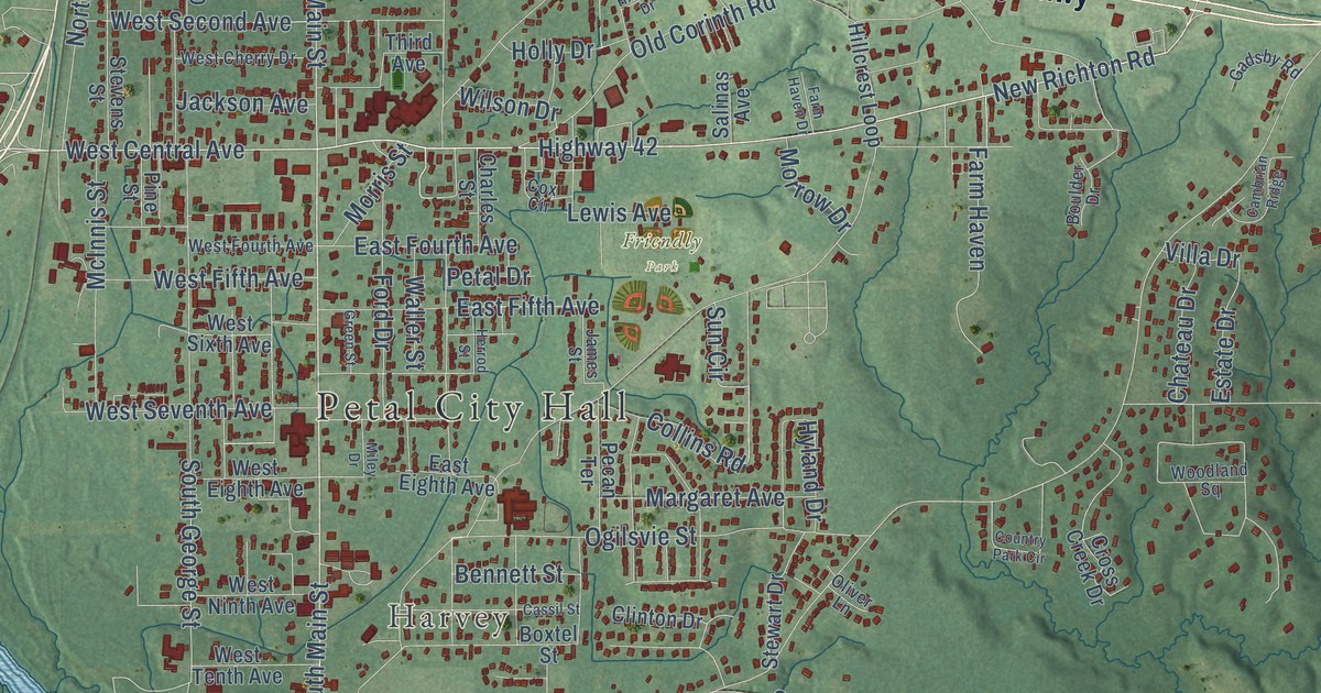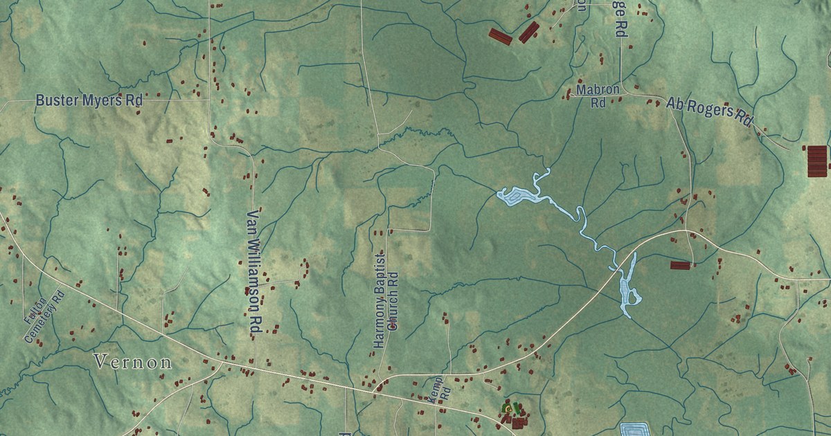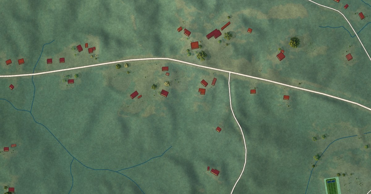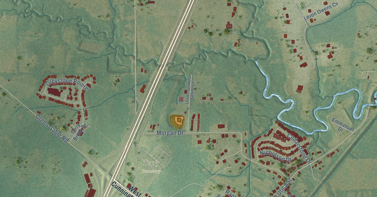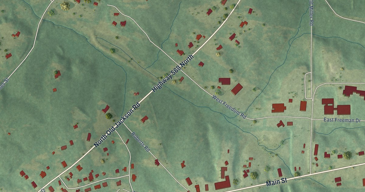
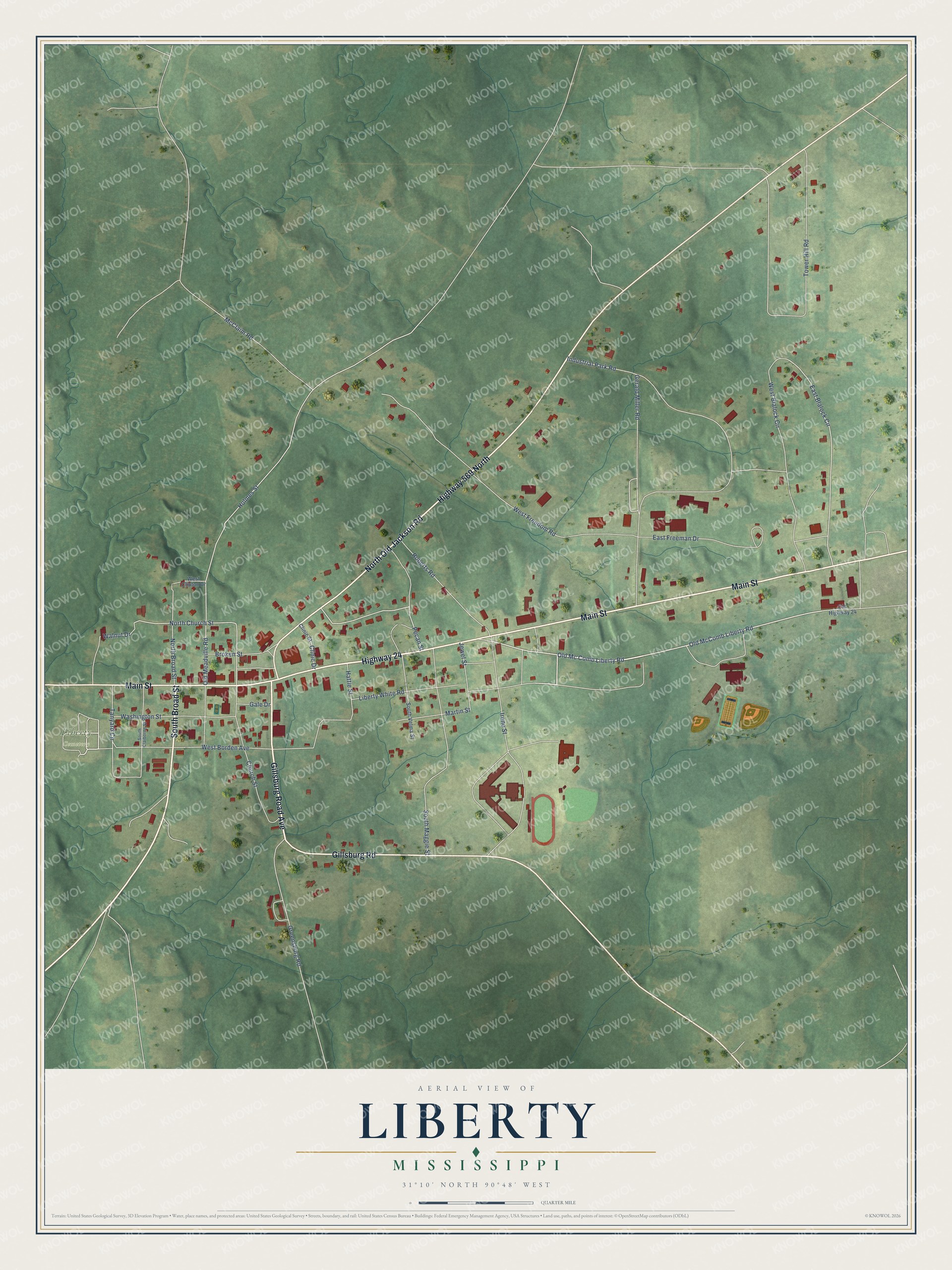
This beautifully detailed map of Liberty, Mississippi was created in 2026 using aerial imagery combined with modern topographical, census, street and landmark data. It’s a one-of-a-kind view of Liberty that combines accurate data with a vintage aesthetic. The map shows every building in its true location, many of the roads carry their names, and the shaded topographic relief shows the shape of the land.
Explore an aerial view of Liberty, Mississippi
On the map you’ll find Liberty Cemetery, along with Gillsburg Road Avenue, Highway 24, Main Street, North Old Jackson Road, Highway 569 North, Gillsburg Road, South Broad Street, Old Mc Comb Liberty Road, Pecan Street, East Blalock Circle, and more. If you look closely you can even find your house accurately drawn in its correct location. Zoom in on the preview to look for yours.
Did you know this piece of Liberty, Mississippi history?
In spring 1863, Union troops under Colonel Benjamin Grierson burned the Amite Female Seminary in Liberty. Grierson, a former music teacher, was ready to burn its music building too. Then he recognized the music director, Milton Shirk, as a classmate from New York. The building was spared and still stands.
Take a closer look at the Liberty map
Street and place names on the Liberty, Mississippi map
These names are printed on the map of Liberty, Mississippi.
Places: Liberty Cemetery.
Streets and roads: Gillsburg Road Avenue, Highway 24, Main Street, North Old Jackson Road, Highway 569 North, Gillsburg Road, South Broad Street, Old Mc Comb Liberty Road, Old McComb Liberty Road, Pecan Street, East Blalock Circle, North Church Street.
More street names, A to Z
Broken Street, Church Street, Clinic Drive, Clinic Street, East Freeman Drive, Gale Drive, Gerald Miller Road, Greensburg Road, Hattie Street, Holmes Street, Industrial Park Road, Irene Street, Jewel Street, Liberty White Road, Martin Street, McClaim Road, North Broad Street, Old Highway 24, Old Meadville Road, Roberts Road, South Claiborne Street, South Maggie Street, South Velma Street, Tanyard Circle, Tower Hill Road, Walnut Drive, Washington Street, West Blalock Circle, West Borden Avenue, West Clinton Drive, West Freedom Road.
See the Liberty, Mississippi map on a wall
The Liberty map as an 18 x 24 inch print in a black frame.

This beautifully detailed map of Liberty makes an attractive addition to your office, library, or den, and it can even be used to teach children the geography and history of the area. It also makes a great gift for someone who left Liberty and still calls it home. When you’re done exploring, click here to get your copy of the Liberty map.