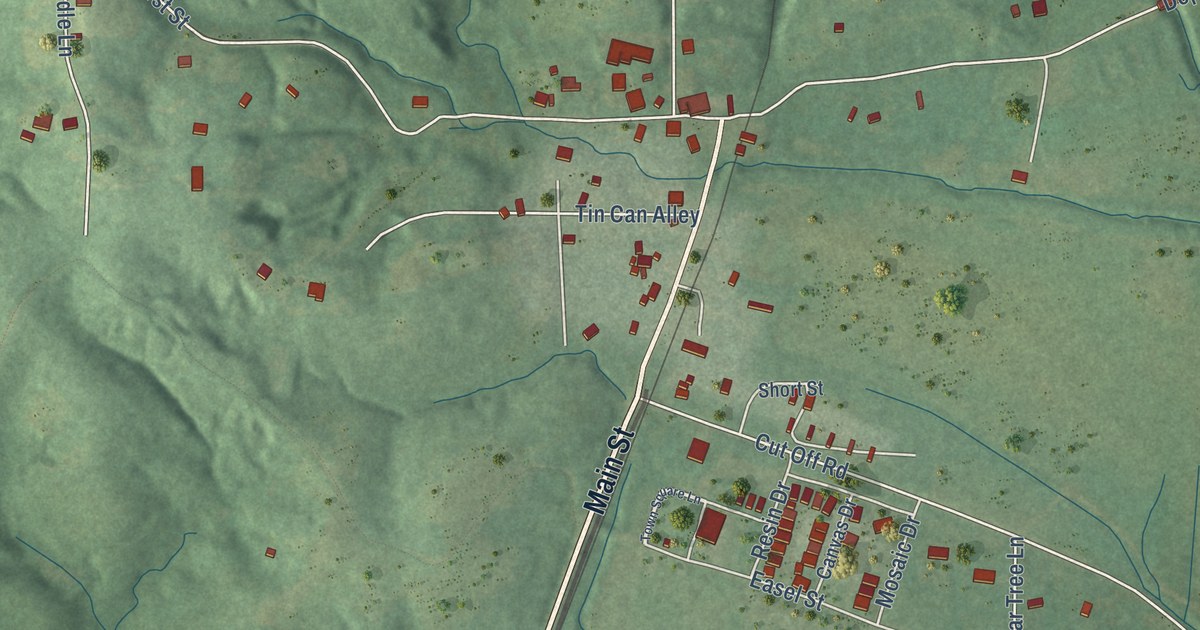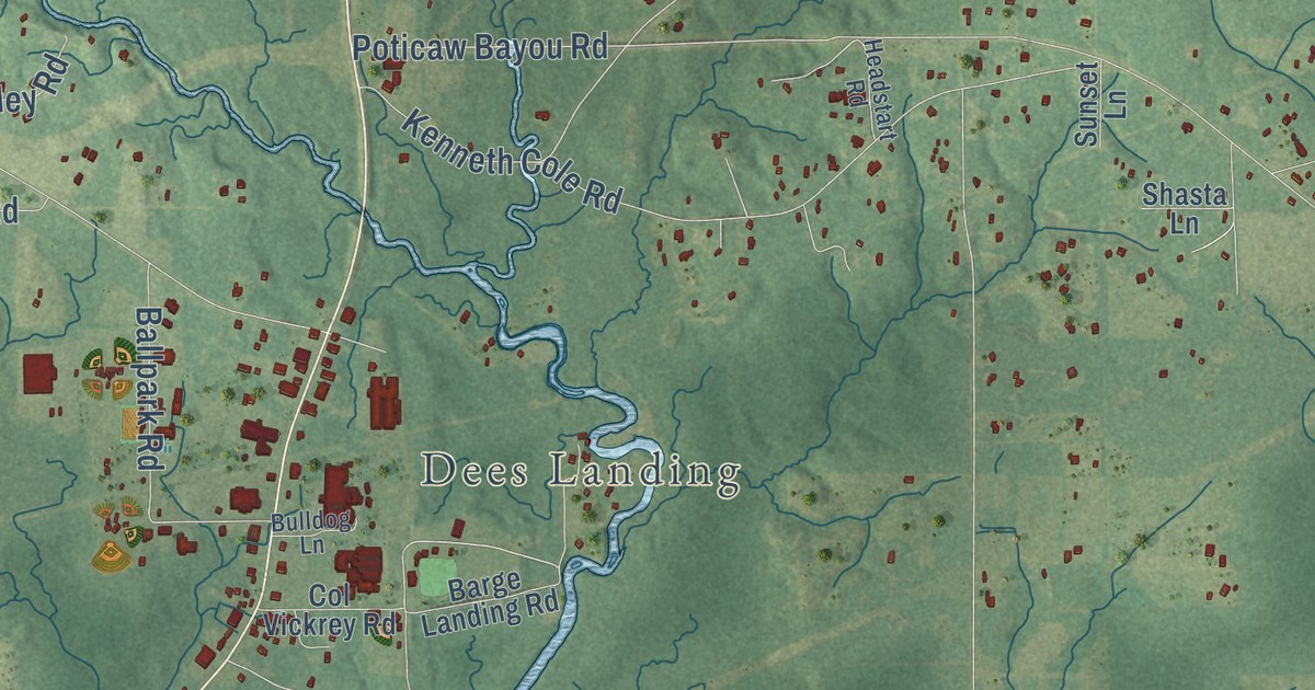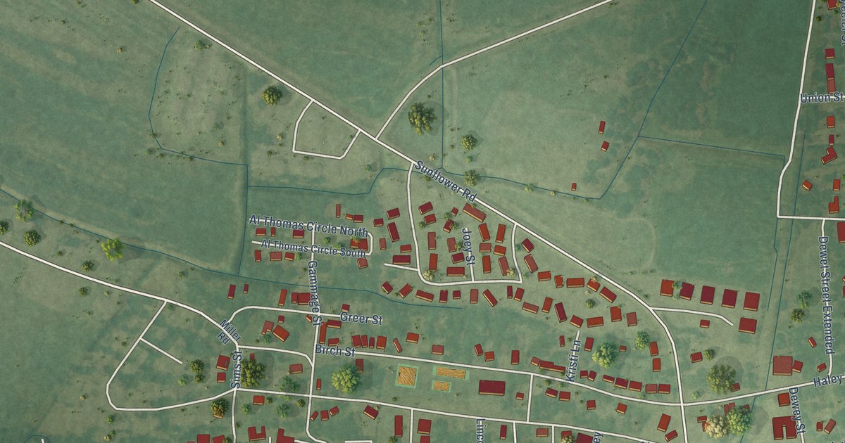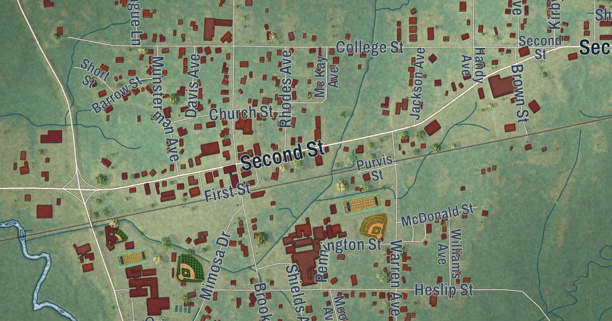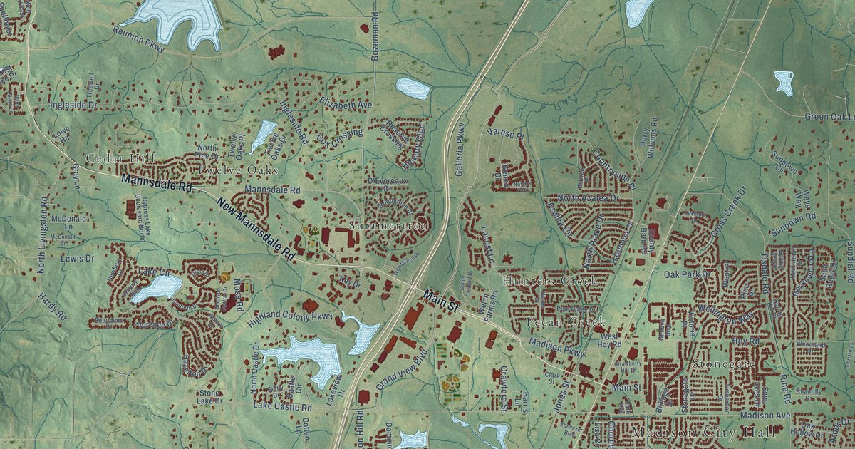
This beautifully detailed map of Madison, Mississippi was created in 2026 using aerial imagery combined with modern topographical, census, street and landmark data. It’s a one-of-a-kind view of Madison that combines accurate data with a vintage aesthetic. The map shows every building in its true location, many of the roads carry their names, and the shaded topographic relief shows the shape of the land.
Explore an aerial view of Madison, Mississippi
On the map you’ll find Madison City Hall, Treasure Cove, Annandale, Cedar Hill, Hunters Creek, Natchez Trace Village, Pecan Creek, Sandalwood, Stonegate, Summertree, Tidewater, Traceland North, and more. If you look closely you can even find your house accurately drawn in its correct location. Zoom in on the preview to look for yours.
Did you know this piece of Madison, Mississippi history?
From the Historical Marker Database: "The community of Madison was founded in 1856 following the arrival of the New Orleans, Jackson and Great Northern Railroad. Originally known as Madison Station, it was named for President James Madison."
Take a closer look at the Madison map
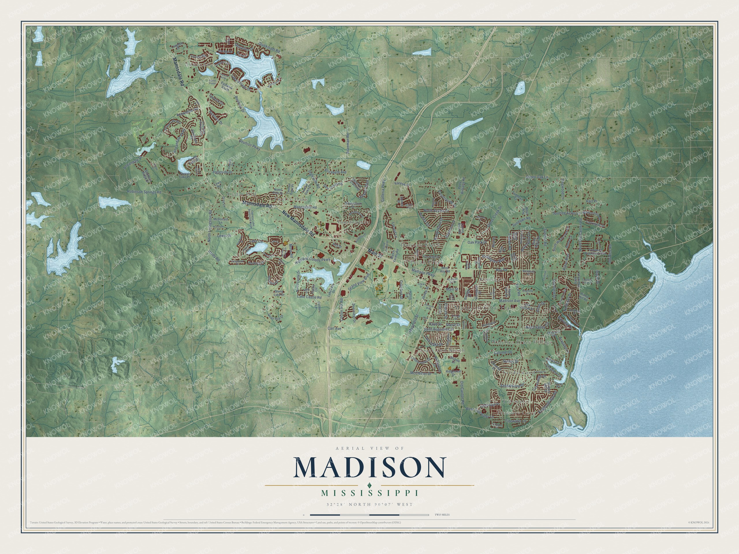
Street and place names on the Madison, Mississippi map
These names are printed on the map of Madison, Mississippi.
Places: Madison City Hall, Treasure Cove, Annandale, Cedar Hill, Hunters Creek, Natchez Trace Village, Pecan Creek, Sandalwood, Stonegate, Summertree, Tidewater, Traceland North and Twelve Oaks.
Streets and roads: Mannsdale Road, Main Street, New Mannsdale Road, Grand View Boulevard, Galleria Parkway, Annandale Parkway, Madison Avenue, North Old Canton Road, Hoy Road, Saint Augustine Drive, Reunion Parkway, Rice Road.
More street names, A to Z
Anna Cv, Annandale Drive, Annandale Parkway East, Annandale Road, Arapaho Lane, Arbor Drive, Azalea Circle, Bayview Drive, Beaumont Drive, Bozeman Road, Brisage Drive, Bristol Court, Bristol Drive, Brookstone Drive, Calumet Drive, Cambridge Drive, Carl Avenue, Carrick Avenue, Carrington Drive, Castle Circle, Cavanaugh Drive, Chadwyck Place, Chantilly Drive, Chestnut Drive, Cheyenne Lane, Christmas Lane, Church Street, Clark Street, Cobblestone Drive, Cotten Lane, Cotton Hill Road, Country Club Drive, Country Cove Lane, Countryside Place, County Barn Road, Cox Crossing, Crawford Street, Cross Creek Drive, Cypress Lake Boulevard North, D'Evereaux Drive, Dalton Pointe, Danforth Drive, David Drive, Deerfield Drive, Dixie Lane, Dogwood Lane, Dominican Drive, Eastwick North, Eastwick South, Ebenezer Boulevard, Elizabeth Avenue, Fairway Lane, Fenwick Circle, Florence Drive, Forest Lake Drive, Forest Lake Place, Geneva Boulevard, Genoa Drive, Gluckstadt Road, Gray Lane, Grayling Boulevard, Green Oak Lane, Hardy Road, Harris Lane, Hart Place, Hawthorne Drive, Hazelton Drive, Herron Street, Hickory Glen, Highland Colony Parkway, Highleadon Place, Honours Drive, Huntington Drive, Ingleside Drive, Ingleside Road, Ironwood Drive, Ironwood Plantation Boulevard, Jennifer Court, Jones Street, Kaye Street, Key Drive, Kiowa Drive, Klaas Boulevard, Knightsbridge Road, Lake Castle Road, Lake Circle, Lakeview Drive, Lake Village Drive, Langdon Drive, Lewis Drive, Lisa Circle, Locust Lane, Long Cove Drive, Longwood Trail, Lowe Road, Madison Central Drive, Madison Parkway, Magnolia Street, McClellan Drive, McDonald Drive, McDonald Lane, Mescalero Way, Mockingbird Lane, Moss Road, Napa Valley Circle, Newbury Drive, Nichols Drive, North Azalea Drive, Northbay Drive, Northbay Place, North Castle Drive, Northlake Drive, North Livingston Road, North Pine Drive, North Place Drive, Novara Trail, Oak Hollow Drive, Oakmont Drive, Oak Park Drive, Old Canton Road, Old Rice Road, Park Avenue, Pawnee Way, Perry Williams Road, Picnic Hill Road, Pine Place, Pine Ridge Drive, Quail Run Drive, Reserve Crossing, Reunion Drive, Ridgecrest Drive, Robinson Springs Road, Rosedowne Drive, Saint Charles Place, Saint Ives Drive, Saint Regis Drive, Sandalwood Drive, Selby Drive, Sheryl Drive, Shoreline Drive, Southern Ridge Drive, South Woodcreek Road, Spotted Acres Lane, Spring Grove, Spring Hill Drive, Stonegate Drive, Stone Lake Drive, Strawberry Hill Drive, Sumac Drive, Sundial Road, Sundown Cv, Sundown Road, Sunflower Road, Sunny Orchard Drive, Tidewater Circle, Tidewater Lane, Tifton Drive, Timberline Drive, Tisdale Road, Tredwell Drive, Twelve Oaks Drive, Twelve Oaks Place, Twin Oaks Drive, Varese Place, Victoria Place, Village Drive, Vinings Drive, Vintage Drive, Violet Drive, Warren Place, Waters Drive, Ways Way, Welch Farms Road, Wellington Way, West Hoy Road, West Place, West Tidewater Lane, Wethersfield Drive, Whisper Lake Boulevard, Wind Dance Drive, Woodbury Park Place, Woodgreen Drive, Woodgreen Place, Woodland Drive, Wrights Mill Drive.
See the Madison, Mississippi map on a wall
The Madison map as an 18 x 24 inch print in a black frame.

This beautifully detailed map of Madison makes an attractive addition to your office, library, or den, and it can even be used to teach children the geography and history of the area. It also makes a great gift for anyone who grew up in Madison or moved away. When you’re done exploring, click here to get your copy of the Madison map.