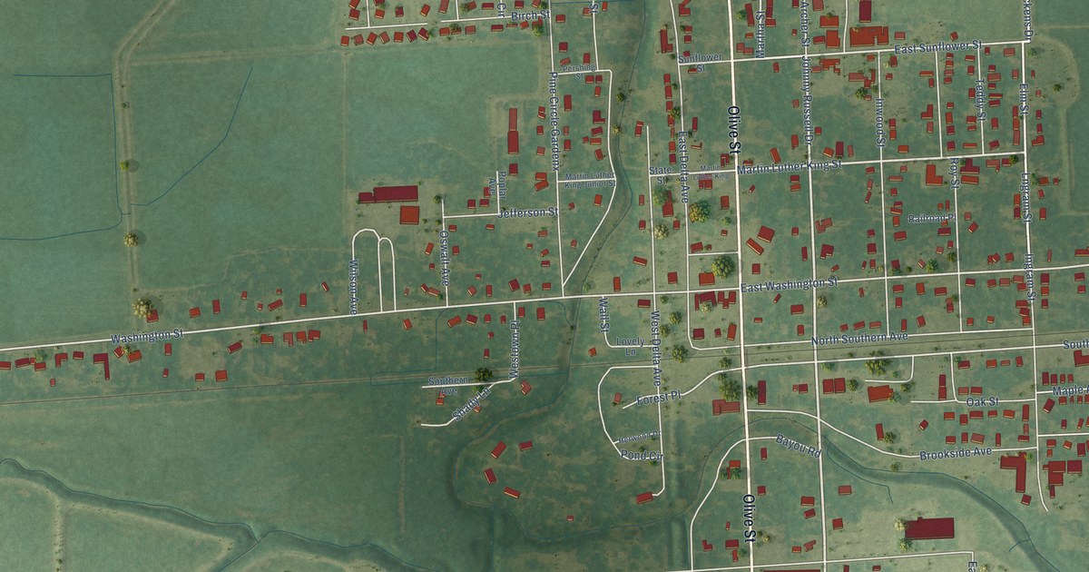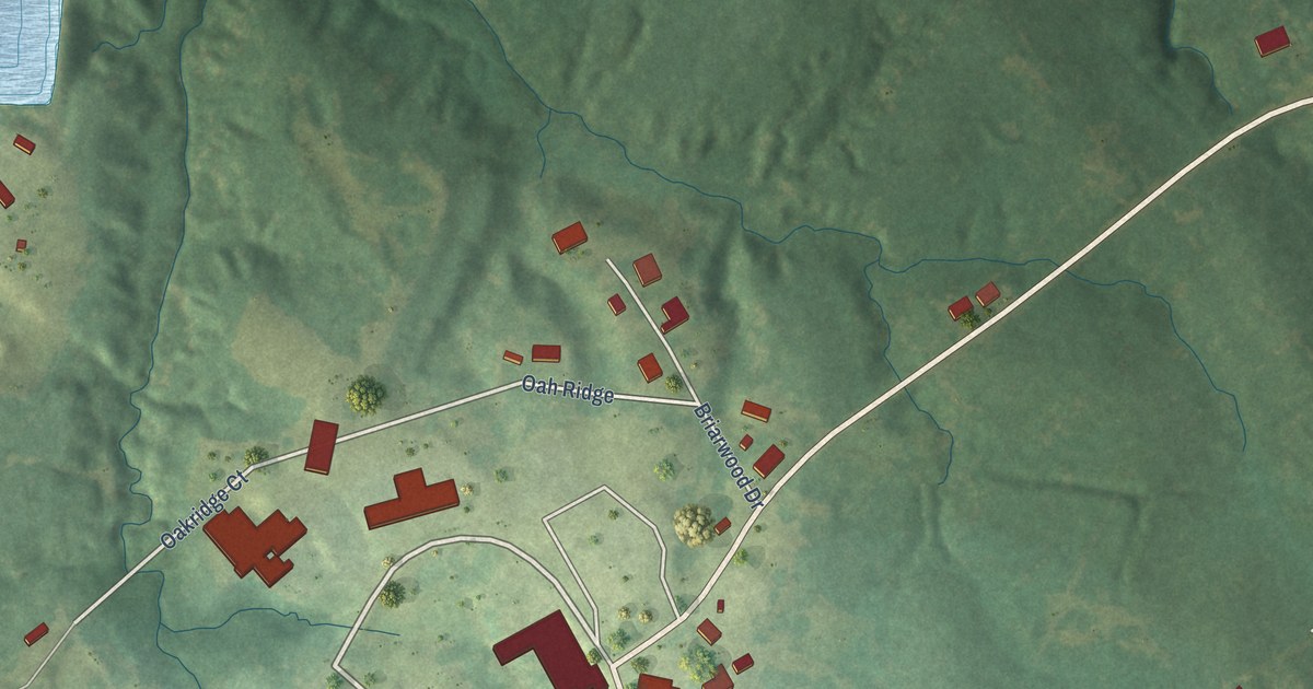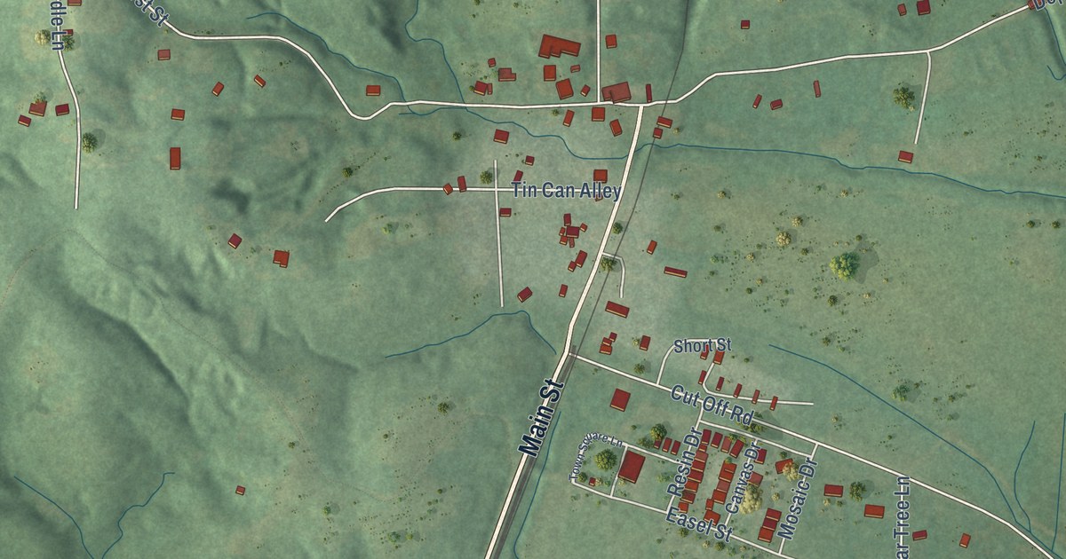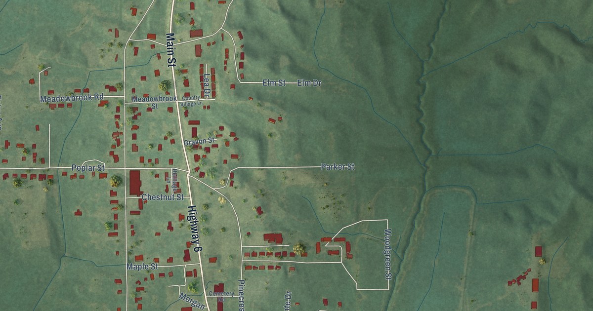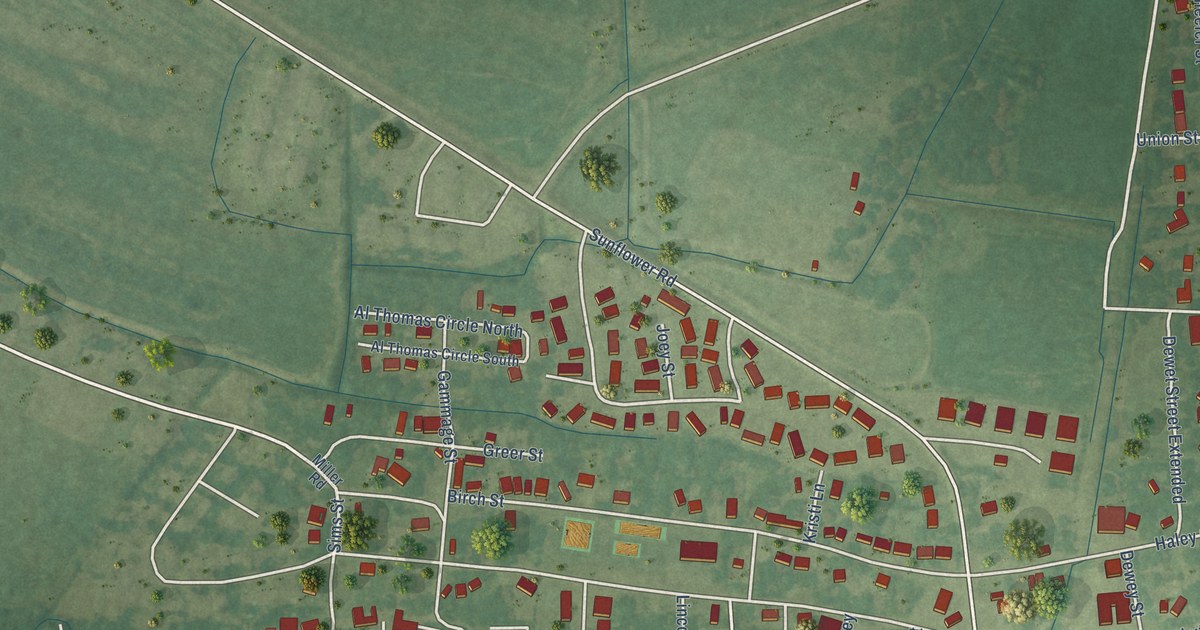
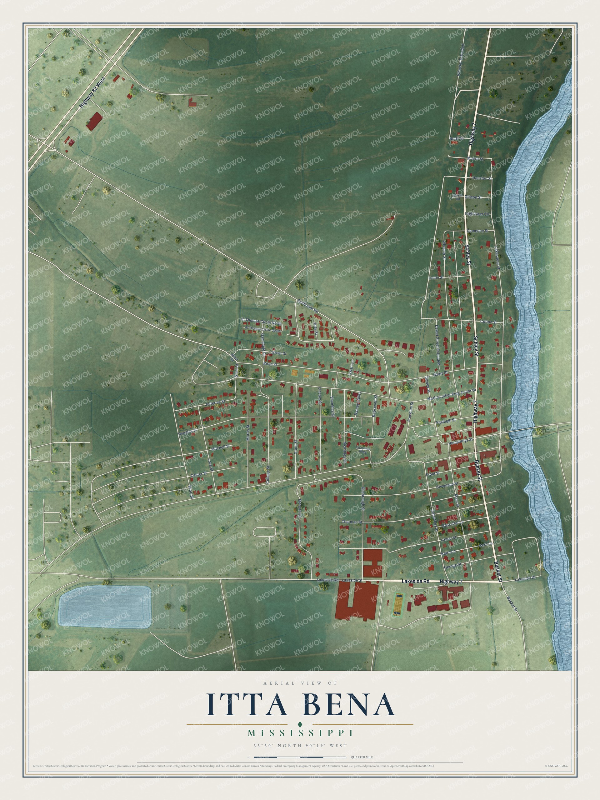
This beautifully detailed map of Itta Bena, Mississippi was created in 2026 using aerial imagery combined with modern topographical, census, street and landmark data. It’s a one-of-a-kind view of Itta Bena that combines accurate data with a vintage aesthetic. The map shows every building in its true location, many of the roads carry their names, and the shaded topographic relief shows the shape of the land.
Explore an aerial view of Itta Bena, Mississippi
On the map you’ll find Wheeler Extended, along with Schley Street, Basket Street, Lakeside Road, Highway 7, Highway 82 West, Lakeside Drive, Humphreys Street, Sims Street, Lakeshore Street, Catchings Street, Lakeside Street, and more. If you look closely you can even find your house accurately drawn in its correct location. Zoom in on the preview to look for yours.
Did you know this piece of Itta Bena, Mississippi history?
State senator Benjamin Grubb Humphreys is credited with founding Itta Bena. After crop failures in the 1850s, he had enslaved workers clear land near Roebuck Lake for cotton. He named his 1857 home Itta Bena, Choctaw for camp in the woods. The village took the same name, and Humphreys later became governor.
Take a closer look at the Itta Bena map
Street names on the Itta Bena, Mississippi map
These names are printed on the map of Itta Bena, Mississippi.
Streets and roads: Schley Street, Basket Street, Lakeside Road, Highway 7, Highway 82 West, Wheeler Extended, Lakeside Drive, Humphreys Street, Sims Street, Lakeshore Street, Catchings Street, Lakeside Street.
More street names, A to Z
Al Thomas Circle North, Al Thomas Circle South, Bass Clef Lane, Birch Street, Cemetery Street, Center Street, Chapman Alley, Cleveland Street, College Street, Cotton Street, Dewet Street Extended, Dewey Street, Douglas Street, Fitzhugh Street, Freedom Street, Front Street, Gammage Street, George Street, Gibson Road, Gibson Street, Grant Street, Greer Street, Haley Street, Hightower Circle, Houston Street, Jefferies Street, Joey Street, Keirn Lane, Kern Lane, Kimbrough Street, Kristi Lane, Lamar Street, Lincoln Street, Love Street, Main Street, Martin Luther King Junior Drive, McKinley Street, Miller Road, Mitchell Street, Moore Street, Morgan Lane, Morris Street, North Street, Raineys Alley, Roosevelt Street, Shankles Street, Short Street, Sunflower Road, Thurman Street, Union Street, Wheeler Street.
See the Itta Bena, Mississippi map on a wall
The Itta Bena map as an 18 x 24 inch print in a black frame.

This beautifully detailed map of Itta Bena makes an attractive addition to your office, library, or den, and it can even be used to teach children the geography and history of the area. It also makes a great gift for anyone with Itta Bena roots. When you’re done exploring, click here to get your copy of the Itta Bena map.