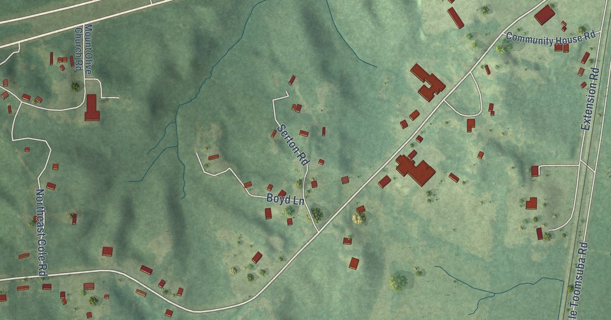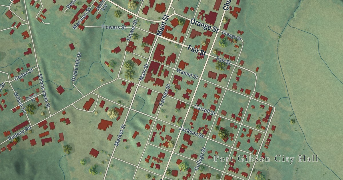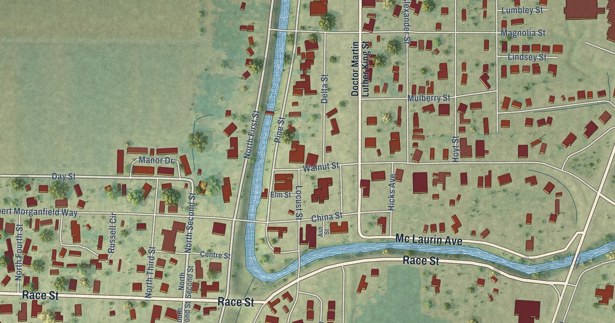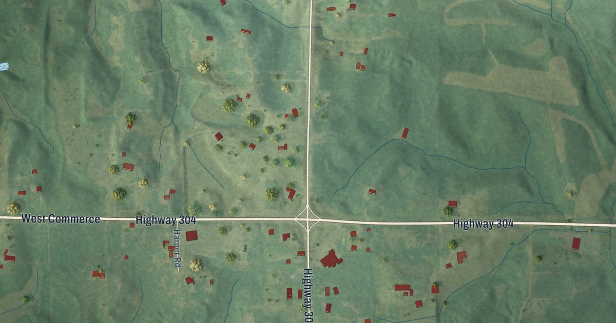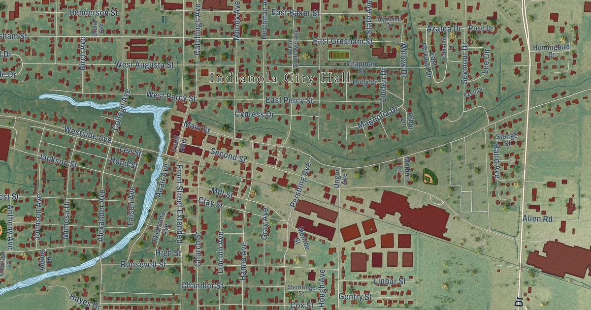
This beautifully detailed map of Indianola, Mississippi was created in 2026 using aerial imagery combined with modern topographical, census, street and landmark data. It’s a one-of-a-kind view of Indianola that combines accurate data with a vintage aesthetic. The map shows every building in its true location, many of the roads carry their names, and the shaded topographic relief shows the shape of the land.
Explore an aerial view of Indianola, Mississippi
On the map you’ll find Indianola City Hall and Chism Park, along with North Martin Luther King Drive, North Sunflower Avenue, West Gresham Street, East Gresham Street, Magnolia Drive, Willow Drive, Marie Road, Patricia Drive, Morningside Drive, Julianne Drive, and more. If you look closely you can even find your house accurately drawn in its correct location. Zoom in on the preview to look for yours.
Did you know this piece of Indianola, Mississippi history?
From Dunbar Rowland’s 1907 encyclopedia of Mississippi history: "The town was incorporated in 1886 as Indianola. It lies in the rich delta section, and the surrounding region raises large quantities of cotton and corn."
Take a closer look at the Indianola map
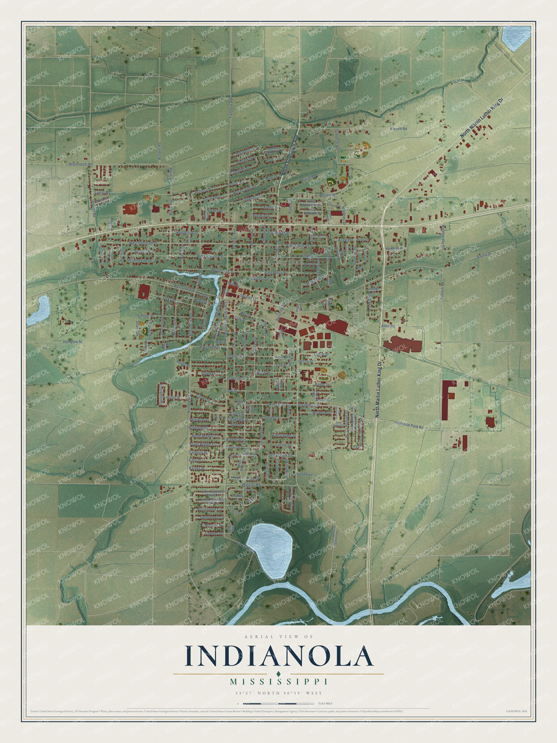
Street and place names on the Indianola, Mississippi map
These names are printed on the map of Indianola, Mississippi.
Places: Indianola City Hall and Chism Park.
Streets and roads: North Martin Luther King Drive, North Sunflower Avenue, West Gresham Street, East Gresham Street, Magnolia Drive, Willow Drive, Marie Road, Patricia Drive, Morningside Drive, Julianne Drive, Sunset Drive, West Augusta Street.
More street names, A to Z
Academy Drive, Adair Avenue, Adkins Drive, Airport Road, Alexander Avenue, Allen Road, Anthony Avenue, Aquarius Circle, Arbor Lane, Austin Road, Azalea Drive, Baird Avenue, Barnes Street, Bates Avenue, Battle Street, Bayou Drive, Beaverdam Road, Bellevue Drive, Birch Avenue, Birdsong Street, Brantley Circle, Broadmoor Drive, Camellia Lane, Campbell Drive, Carefree Drive, Carver Street, Catchings Avenue, Chandler Street, Chapman Street, Choctaw Lane, Church Street, Clay Street, Cleveland Street, Clover Drive, Coates Street, College Avenue, Coolidge Street, Cox Street, Curtis Street, Cypress Drive, Davis Cv, Delta Blues Street, Dorsett Drive, Duke Avenue, East Baker Street, East Herman Johnson Road, Eastover Road, East Parkway Drive, East Percy Street, Eastwood Drive, Easy Street, Elaine Street, Ethel Waters Drive, Ezell Drive, Faison Avenue, Faisonia Avenue, Fifth Avenue, First Avenue, Forrest Street, Fountain Avenue, Fourth Avenue, French Road, French Street, Front Avenue, Front Street Extended, Fugitt Circle, Fuller Drive, Galaxie Road, Gardner Street, Garrard Avenue, Gentry Street, Gillespie Drive, Grand Avenue, Gray Avenue, Grove Park Drive, Hampton Street, Hanna Avenue, Hayes Drive, Heathman Avenue, Henderson Street, Henry Rossier Drive, Heron Street, Highland Drive, High Street, Holly Drive, Hood Street, Hoover Street, Hough Avenue, Hull Circle, Humingbird Drive, Industrial Park Road, Jackson Street, Jake Ayers Cv, Janet Davis Circle, Jeff Davis Drive, Jefferson Street, Johnson Avenue, Jordan Drive, Kentwood Lane, Kinlock Road, Lamar Road, Lee Circle, Lee Street, Lewis Circle, Linbar Street, Lincoln Avenue, Linden Drive, Longswitch Road, Lucille Street, Lunar Circle, Mabelle Street, Main Street, Marie Avenue, McPherson Street, Mill Street, Mimosa Drive, Modern Lane, Monroe Street, Moody Avenue, North Avenue, North Davis Circle, North Elmwood Circle, North Macarthur Circle, North Southwest Plaza Circle, North Walker Circle, Oak Street, Oklahoma Avenue, Paris Drive, Park Avenue, Pershing Avenue, Pollock Road, Porter Drive, Quick Circle, Randle Lane, Riverside Memorial Garden Road, Roberts Road, Roosevelt Street, Rose Drive, Sandy Avenue, Second Street, Seymour Drive, Shaw Avenue, Short Bayou Drive, Shortridge Street, Sledge Street, Slim Street, Somerset Road, South Davis Circle, South Elmwood Circle, South Macarthur Circle, South Southwest Plaza Circle, South Walker Circle, Spoonbill Court, Spruce Street, State Avenue, Stonewall Drive, Terrace Drive, Third Avenue, Torino Drive, Unger Avenue, Virginia Street, Waldell Road, Walker Street, Weathersby Road, West Bates Avenue, West Clover Drive, West Hermon Johnson Road, West Percy Street, Westside Avenue, Whinery Street, Whittington Drive, Wiggins Road, Woodbine Lane.
See the Indianola, Mississippi map on a wall
The Indianola map as an 18 x 24 inch print in a black frame.

This beautifully detailed map of Indianola makes an attractive addition to your office, library, or den, and it can even be used to teach children the geography and history of the area. It also makes a great gift for someone who left Indianola and still calls it home. When you’re done exploring, click here to get your copy of the Indianola map.