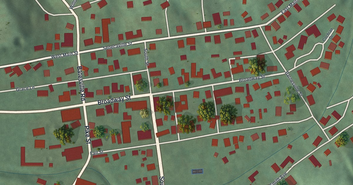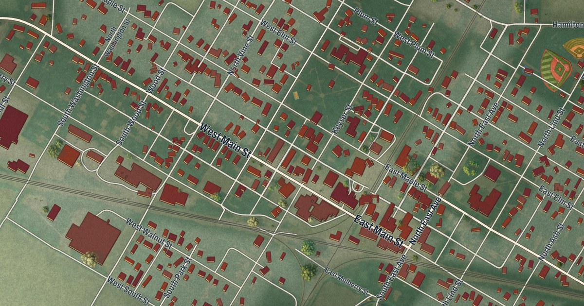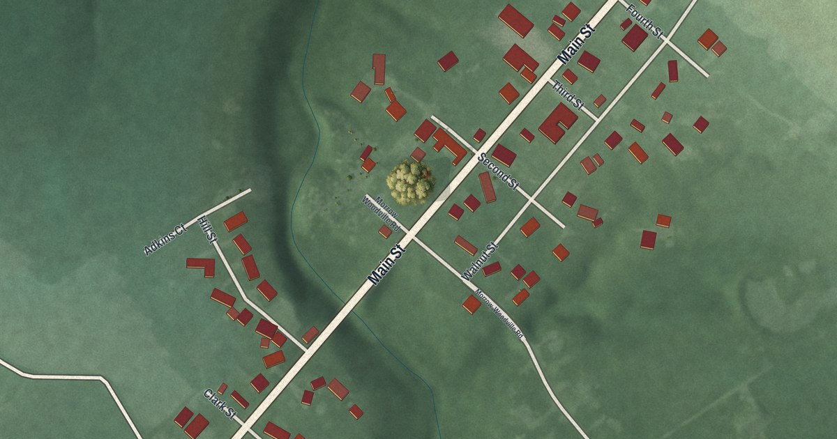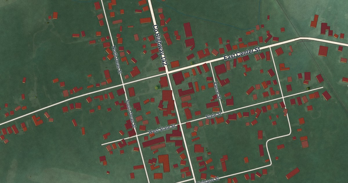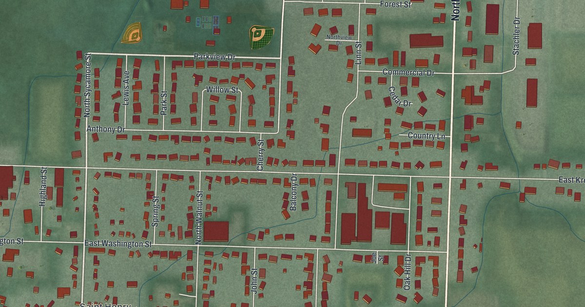
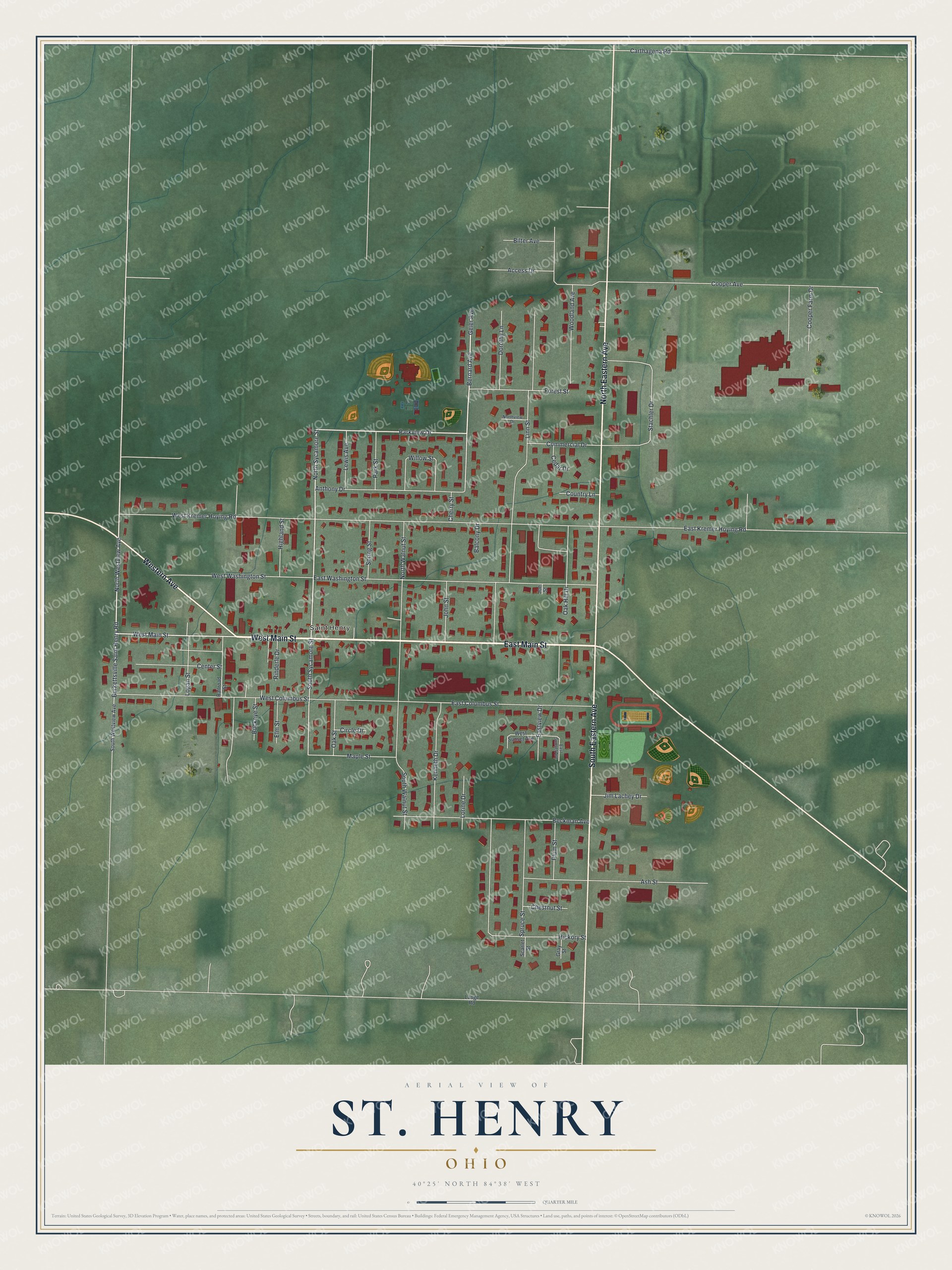
This beautifully detailed map of St. Henry, Ohio was created in 2026 using aerial imagery combined with modern topographical, census, street and landmark data. It's a modern aerial view of St. Henry in Mercer County, Ohio, that combines modern data with a vintage aesthetic. The roads feature printed names, and if you look closely you can find your exact house accurately shown in its correct location.
Explore an aerial view of St. Henry, Ohio
On this map you'll find Saint Henry, West Main Street, East Main Street, North Eastern Avenue, South Eastern Avenue, Western Avenue, North Sycamore Street, Parkview Drive, North Westview Avenue, Geier Avenue, Bernard Avenue, South Sycamore Street, and more. Each red shape is a building, so zoom in on the preview and look for yours.
Here is a piece of St. Henry history, in the words of the record. The Internet Archive puts it this way: "ST. HENRY.
In the northern part of Granville township is located the thriving and
prosperous village of St. Henry, which was laid out by Henry Romer in 1837,
AND REPRESENTATIVE CITIZENS
197
the plat being recorded on July 13th."
St. Henry is a village in Mercer County. The Census Bureau counted 2,596 people here in 2020.
Take a closer look at the St. Henry map
Names on this map
These names are printed on this map.
Places: Saint Henry.
Streets and roads: West Main Street, East Main Street, North Eastern Avenue, South Eastern Avenue, Western Avenue, North Sycamore Street, Parkview Drive, North Westview Avenue, Geier Avenue, Bernard Avenue, South Sycamore Street, Stachler Drive.
More street names, A to Z
Access Drive, Anthony Drive, Ash Street, Balcony Drive, Beckman Avenue, Bilter Avenue, Buckeye Street, Burkettsville Saint Henry Road, Carthagena Road, Cedar Drive, Center Street, Cherry Street, Chestnut Street, Circle Drive, Commercial Drive, Cooper Avenue, Cooper Farm Drive, Country Lane, Dorothy Lane, East Columbus Street, East Kremer Hoying Road, East Sunset Avenue, Eastview Drive, East Washington Street, Elm Street, Forest Street, Gray Street, Hickory Street, Highland Street, Jim Lachey Drive, Joe Street, John Street, Kenneth Drive, Lange Road, Lewis Avenue, Linn Street, Logan Street, Lorine Drive, Maple Street, Northview Drive, North Walnut Street, Oak Hill Drive, Oak Street, Park Street, Plum Street, Railroad Street, Rinderle Drive, Scarlet Street, South Walnut Street, South Westview Avenue, Spring Street, Spruce Street, West Columbus Street, West Kremer Hoying Road, West Sunset Avenue, West Washington Street, Willow Street, Woodland Avenue.
Created by KNOWOL in 2026. The buildings are small red shapes, the roads carry their printed names, and shaded relief shows the shape of the land. The title panel reads "AERIAL VIEW OF ST. HENRY OHIO" with 4, 0, °, 2, 5, ', , N, O, R, T, H, , 8, 4, °, 3, 8, ', , W, E, S, T.
It suits a den, a classroom or a front hall, and it makes a gift for anyone with St. Henry roots. Open the preview and find the block you know. See sizes and frames for the St. Henry map.