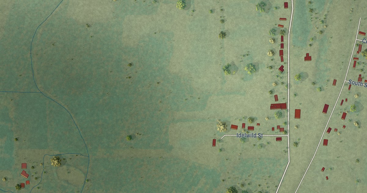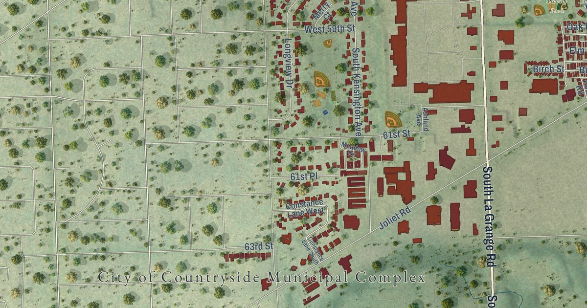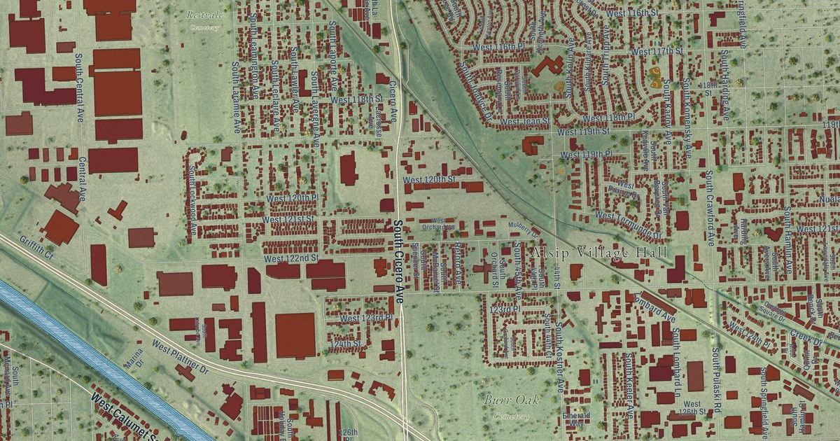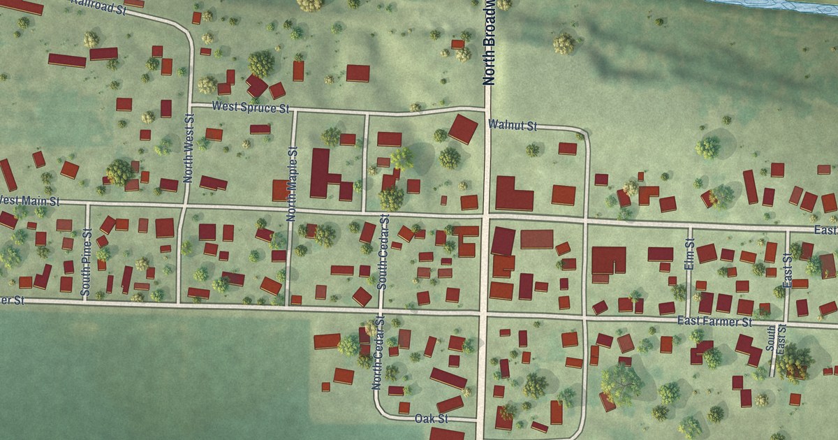
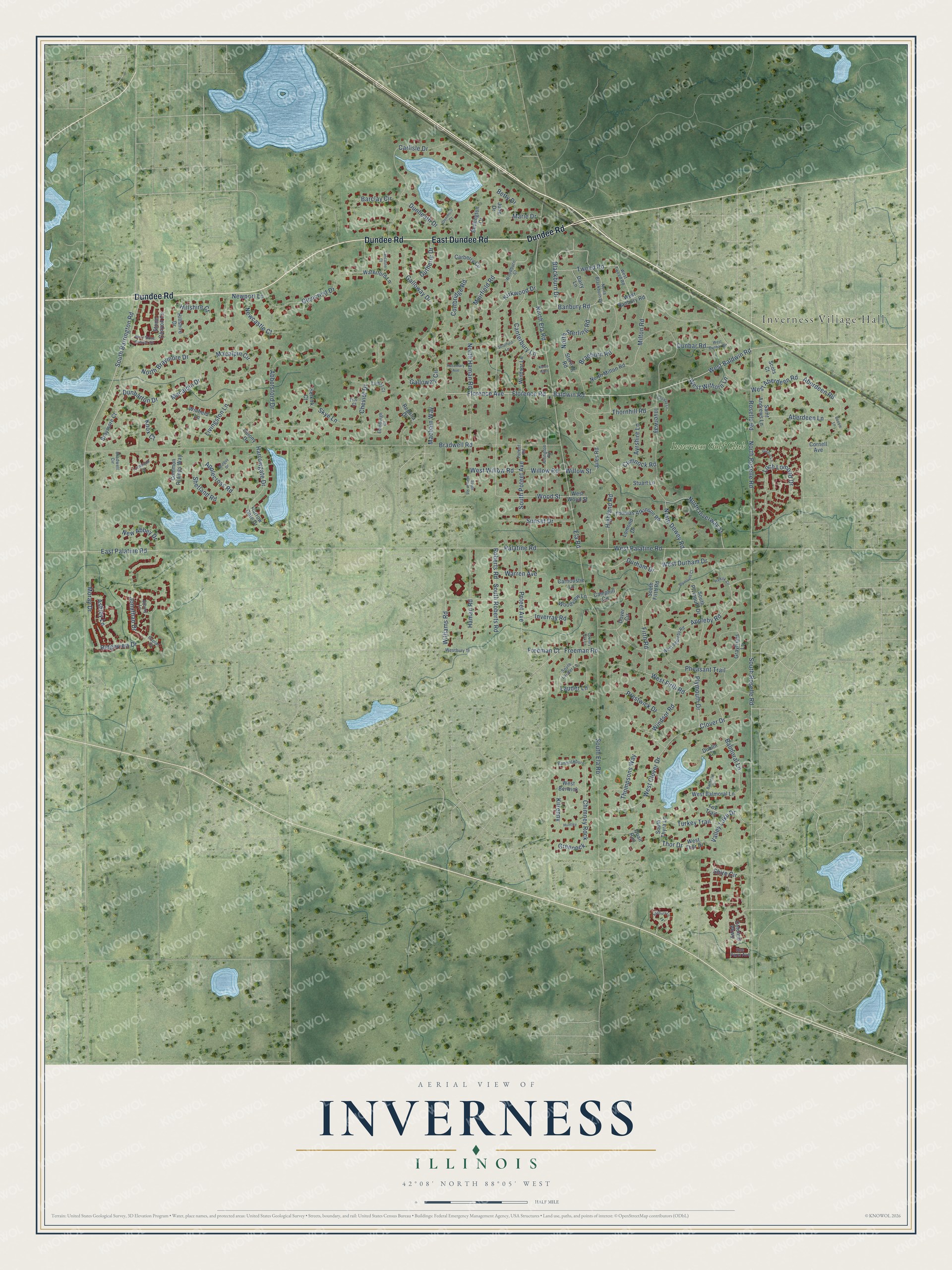
This beautifully detailed map of Inverness, Illinois was created in 2026 using aerial imagery combined with modern topographical, census, street and landmark data. It's a modern aerial view of Inverness in Cook County, Illinois, that combines modern data with a vintage aesthetic. The roads feature printed names, and if you look closely you can find your exact house accurately shown in its correct location.
Explore an aerial view of Inverness, Illinois
On this map you'll find Inverness Village Hall, Inverness Golf Club, East Dundee Road, Dundee Road, South Barrington Road, Baldwin Road, West Baldwin Road, East Palatine Road, South Roselle Road, North Roselle Road, Roselle Road, Blackburn Drive, and more. Each red shape is a building, so zoom in on the preview and look for yours.
Inverness is a village in Cook County. The Census Bureau counted 7,616 people here in 2020. The map prints the town name in its title panel, with the coordinates below it.
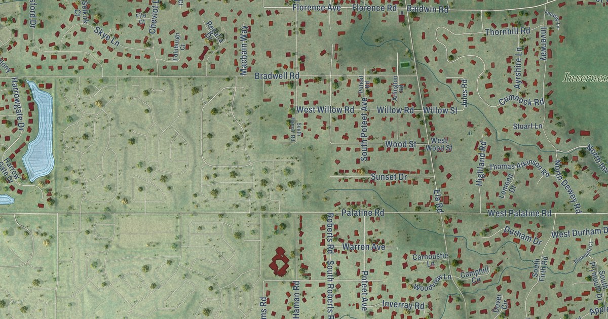
Take a closer look at the Inverness map
Names on this map
These names are printed on this map.
Places: Inverness Village Hall and Inverness Golf Club.
Streets and roads: East Dundee Road, Dundee Road, South Barrington Road, Baldwin Road, West Baldwin Road, East Palatine Road, South Roselle Road, North Roselle Road, Roselle Road, Blackburn Drive, Florence Avenue, Florence Road.
More street names, A to Z
Abbotsford Drive, Aberdeen Lane, Aberdeen Road, Appleby Road, Applecross Road, Arlington Road, Ashbury Lane, Ashley Lane, Ayrshire Lane, Balmoral Circle, Balmoral Lane, Banbury Road, Bannockburn, Barclay Circle, Bedlington Drive, Betty Drive, Bibury Lane, Bonnie Lane, Bradwell Circle, Bradwell Road, Braeburn Road, Braymore Court, Camphill Circle, Canterbury Lane, Carberry Circle, Carlisle Drive, Carnoustie Lane, Cheviot Drive, Chimney Rock, Clover Drive, Colonial Parkway, Colony Drive, Common Ridings Way, Cornell Avenue, Cortbridge Road, Country Oak Lane, Cumnock Road, Dairy Lane, Dover Circle, Dublin Court, Dunbar Road, Dunbarton Drive, Dunheath Drive, Durham Drive, Edinburgh Court, Ela Road, Fairway Lane, Fife Court, Firth Road, Fox Trail, Freeman Court, Freeman Road, Galloway Circle, Galloway Drive, Glamis Lane, Glencrest Drive, Glenmore Court, Grayfriars Lane, Greenock, Gutherie Drive, Halkirk Circle, Haman Road, Harrowgate Drive, Harrow Gate Drive, Highland Road, Hillshire Court, Hillshire Drive, Huntley, Inverray Road, Inverway, Jonathan Drive, Jules Road, Julie Drive, Kelso Glen, Kilrenny, Kirkwood Drive, Knox Court, Lancaster Court, Lauder Lane, Livingston Lane, Lochbrook Lane, Loch Lomond Drive, Lomond Drive, Macalpin Circle, Macalpin Drive, Macbain Way, Marie Drive, Milton Road, Moray Drive, Muirfield Road, Mulguy Drive, New Abbey Drive, Newcastle Court, Newport Lane, North Blackburn Drive, North Braymore Drive, North Dewey Road, North Ela Road, North Haman Road, North Inverway Street, North Milton Road, North Sterling Road, Palatine Road, Pheasant Trail, Plymouth Court, Plymouth Drive, Poplar Court, Poteet Avenue, Poteet Road, Prestwick Drive, Quail Run, Regalia Drive, Ridgeview Drive, Roberts Road, Rosemary Avenue, Rue Paris Avenue, Saint Andrews Lane, Scots Court, Selkirk Court, Shetland Road, Shire Circle, Skye Lane, South Ela Road, South Firth Road, South Haman Road, South Lauder Lane, South Plymouth Drive, South Poteet Avenue, South Roberts Road, South Thyra Lane, Sterling Road, Stone Canyon Circle, Stratford Lane, Stuart Lane, Sunset Drive, Tarbat Court, Thomas Atkinson Road, Thompsons Way, Thor Drive, Thornhill Road, Turkey Trail, Tweed Road, Valley Lake Drive, Warren Avenue, Waterford Lane, West Aberdeen Road, West Appleby Road, West Balmoral Lane, West Banbury Road, West Berwick, Westbury Drive, West Clover Drive, West Dunbar Road, West Durham Drive, West Firth Road, West Palatine Road, West Stone Canyon Circle, West Thor Drive, West Tweed Road, West Willow Road, West Withorn Lane, West Wood Street, Williams Road, Willow Road, Willow Street, Windsor Lane, Windsor Road, Winfield Lane, Woodburn Court, Wood Street, Woodview Lane.
Created by KNOWOL in 2026. The buildings are small red shapes, the roads carry their printed names, and shaded relief shows the shape of the land. The title panel reads "AERIAL VIEW OF INVERNESS ILLINOIS" with 42°08' NORTH 88°05' WEST.
It suits a den, a classroom or a front hall, and it makes a gift for anyone with Inverness roots. Open the preview and find the block you know. See sizes and frames for the Inverness map.