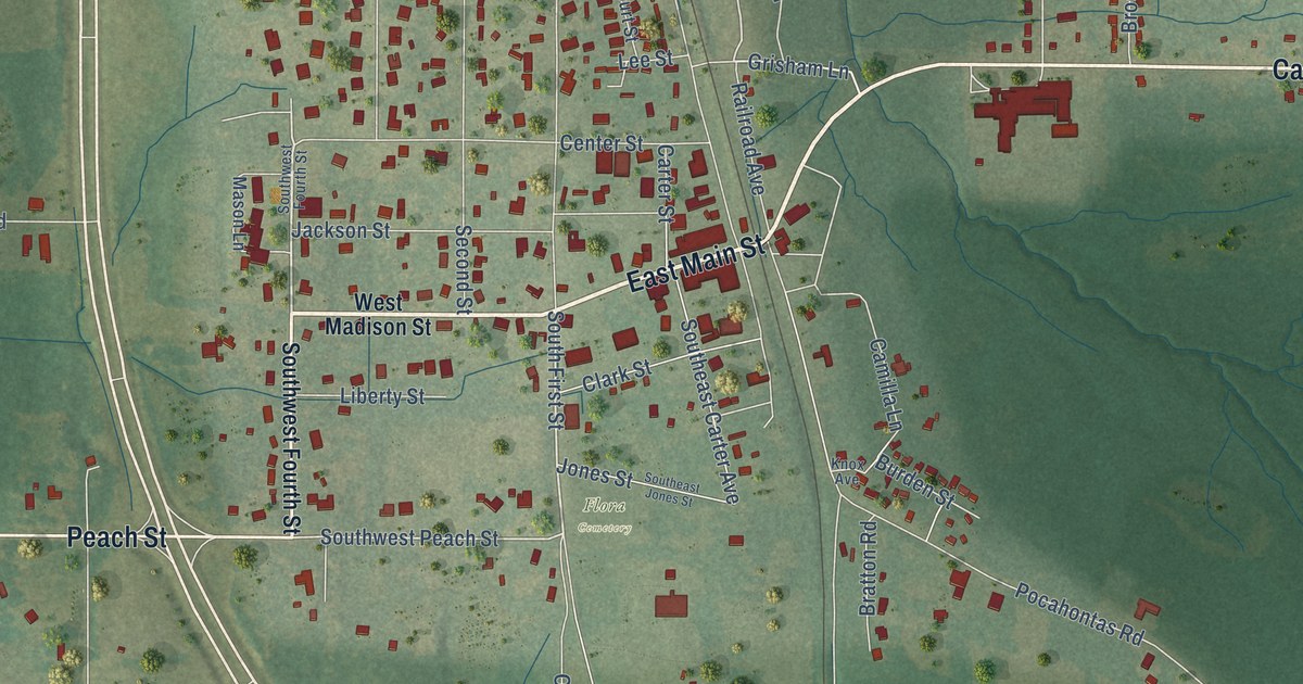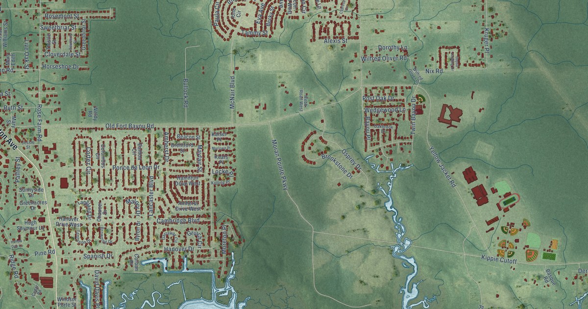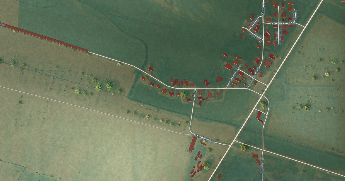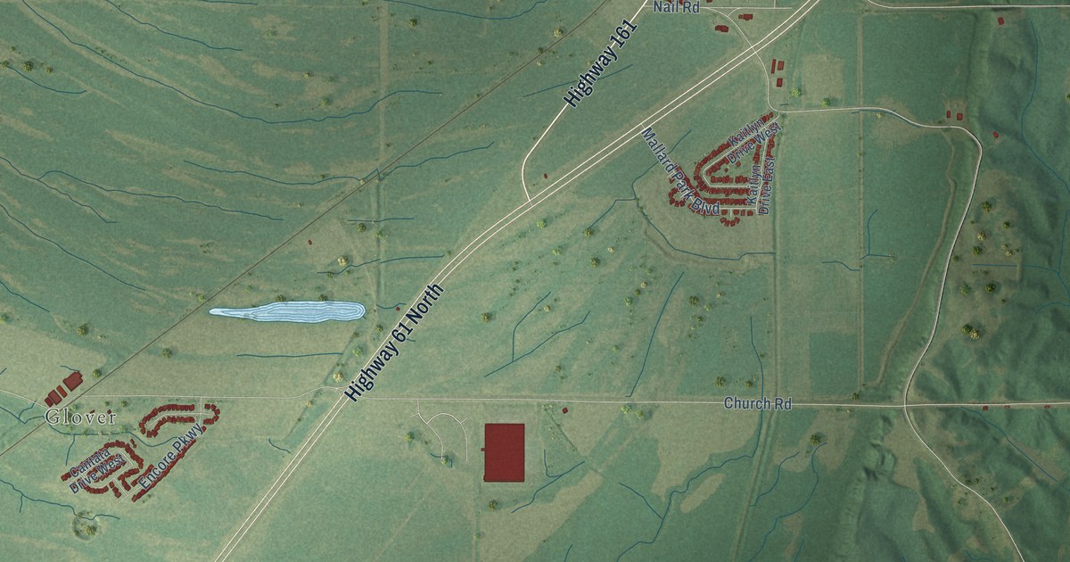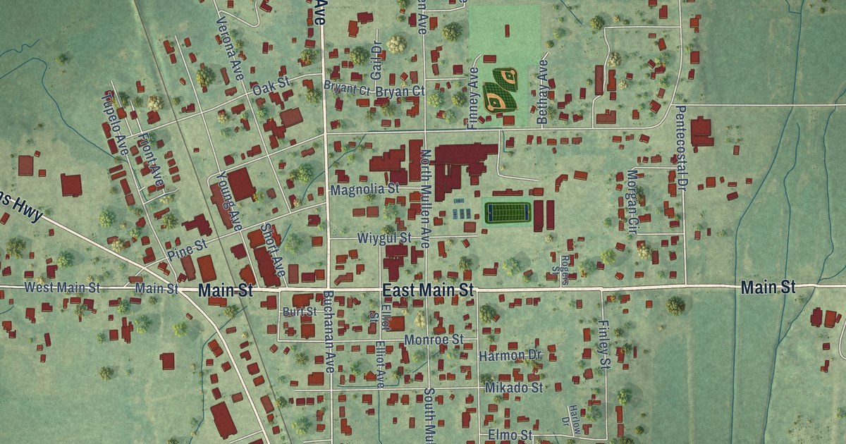
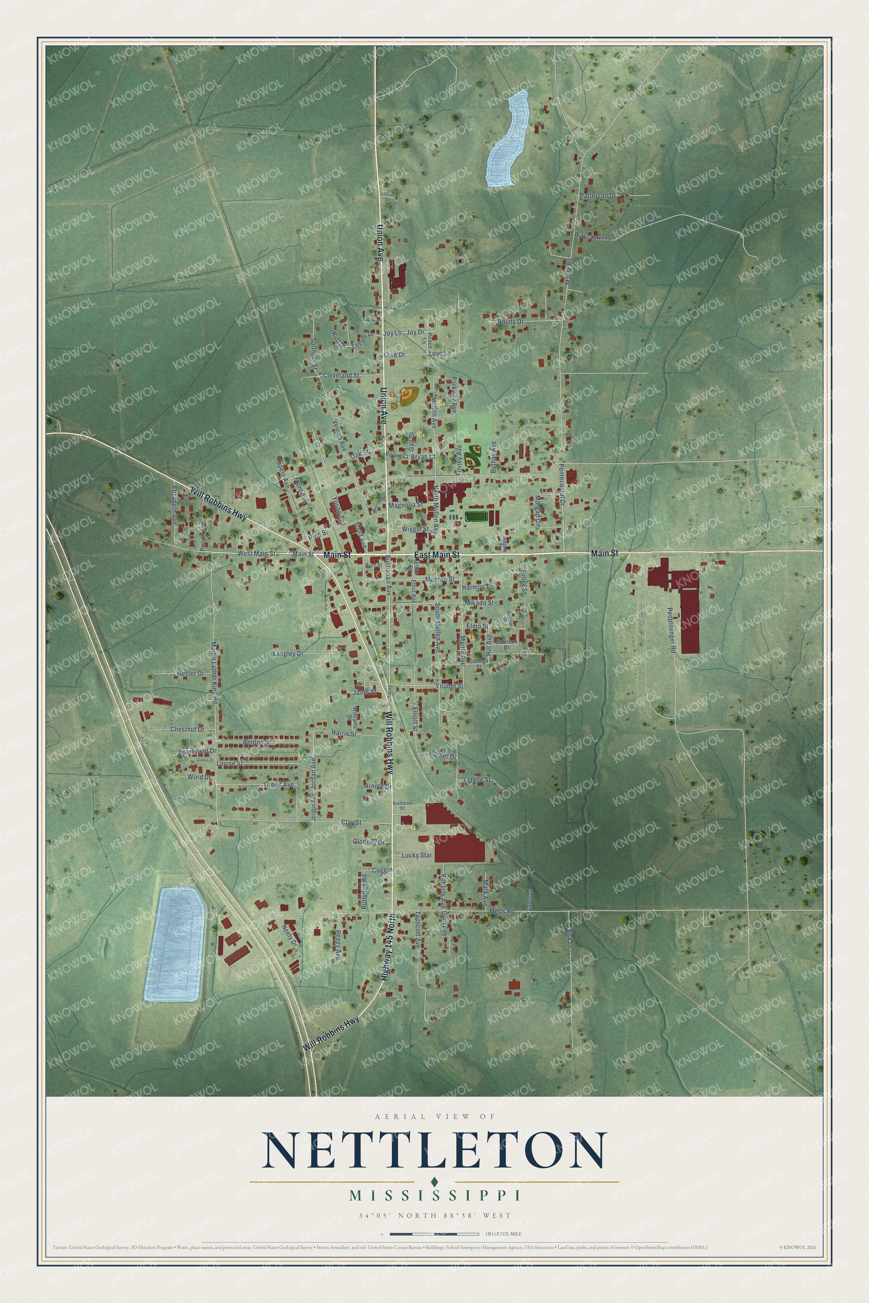
This beautifully detailed map of Nettleton, Mississippi was created in 2026 using aerial imagery combined with modern topographical, census, street and landmark data. It’s a one-of-a-kind view of Nettleton that combines accurate data with a vintage aesthetic. The map shows every building in its true location, many of the roads carry their names, and the shaded topographic relief shows the shape of the land.
Explore an aerial view of Nettleton, Mississippi
On the map you’ll find Main Street, East Main Street, Union Avenue, Will Robbins Highway, Highway 145 North, West Main Street, Buchanan Avenue, Pentecostal Drive, Youbet Street, Love Drive, Joy Drive, Martin Luther King Road, and more. If you look closely you can even find your house accurately drawn in its correct location. Zoom in on the preview to look for yours.
Did you know this piece of Nettleton, Mississippi history?
Nettleton was incorporated in 1888. It was named for George Henry Nettleton, the Kansas City, Memphis and Birmingham Railroad’s president. The city lies on the line between Lee and Monroe counties, with roughly equal parts in each.
Take a closer look at the Nettleton map
Street names on the Nettleton, Mississippi map
These names are printed on the map of Nettleton, Mississippi.
Streets and roads: Main Street, East Main Street, Union Avenue, Will Robbins Highway, Highway 145 North, West Main Street, Buchanan Avenue, Pentecostal Drive, Youbet Street, Love Drive, Joy Drive, Martin Luther King Road.
More street names, A to Z
Apartment Drive, Arnold Drive, Benton Street, Bethay Avenue, Biodiesel Drive, Bryan Court, Bryant Court, Buchanan, Burt Street, Chaney Drive, Chestnut Drive, Clay Street, Cleveland Street, Coggin, College Street, Elizabeth Avenue, Elliot Avenue, Elliot Street, Elliott Street, Elmo Street, Estelle Street, Finley Street, Finney Avenue, Front Avenue, Gail Drive, Gladney Drive, Gladys Drive, Green Avenue, Guin Avenue, Harlow Drive, Harmon Drive, Harper Drive, Harris Street, Hester Drive, Hill Avenue, Janet Street, Johnson Drive, Jordan Avenue, Jordon Avenue, Joy Lane, Karen Lane, Langley Drive, Leeper Drive, Louise Street, Love Lane, Lucky Star, Magnolia Street, Maple Road, Mark Avenue, Metts Road, Mikado Street, Monroe Street, Morgan Circle, Mullen Avenue, Myrtle Avenue, Neely Drive, North Mullen Avenue, Oak Street, Parkway Avenue, Patterson Drive, Peace Lane, Pecan Avenue, Peggy Avenue, Peoplounger Road, Pine Street, Rhudy Drive, Roberts Avenue, Rogers Street, Ruff Drive, Rutledge Road, Short Avenue, Sisk Drive, South Mullen Avenue, Springer Street, Tapscott Avenue, Tupelo Avenue, Verona Avenue, Waycaster Drive, Williams Drive, Wiygul Street, Word Drive, Young Avenue.
See the Nettleton, Mississippi map on a wall
The Nettleton map as an 18 x 24 inch print in a black frame.

This beautifully detailed map of Nettleton makes an attractive addition to your office, library, or den, and it can even be used to teach children the geography and history of the area. It also makes a great gift for someone who left Nettleton and still calls it home. When you’re done exploring, click here to get your copy of the Nettleton map.