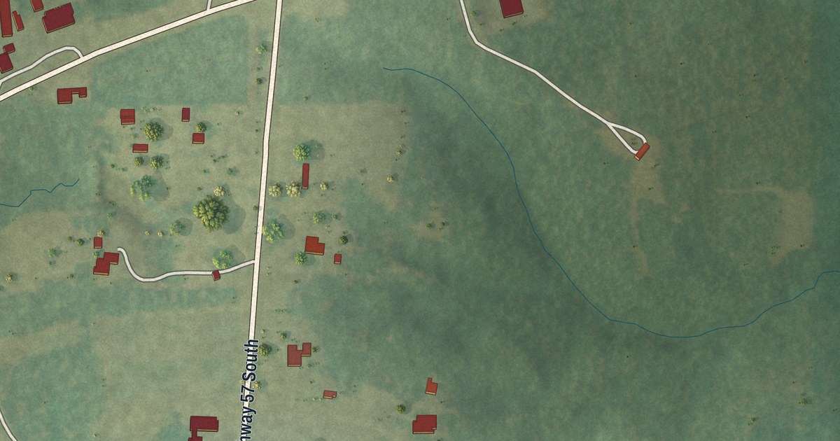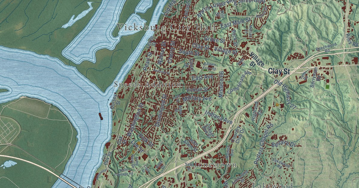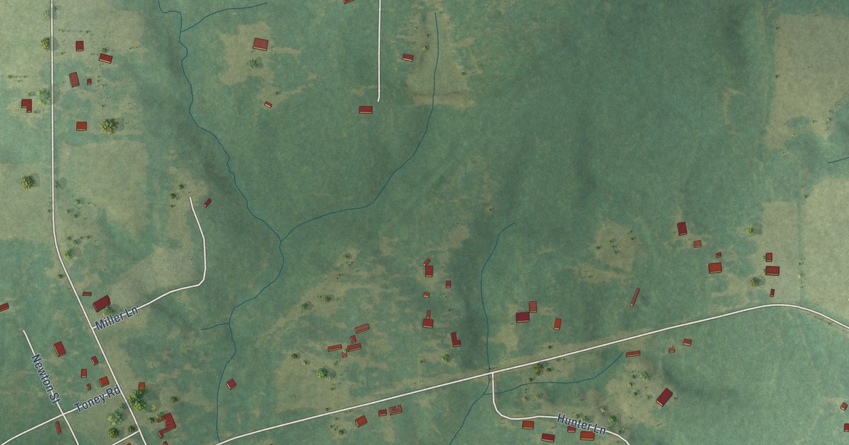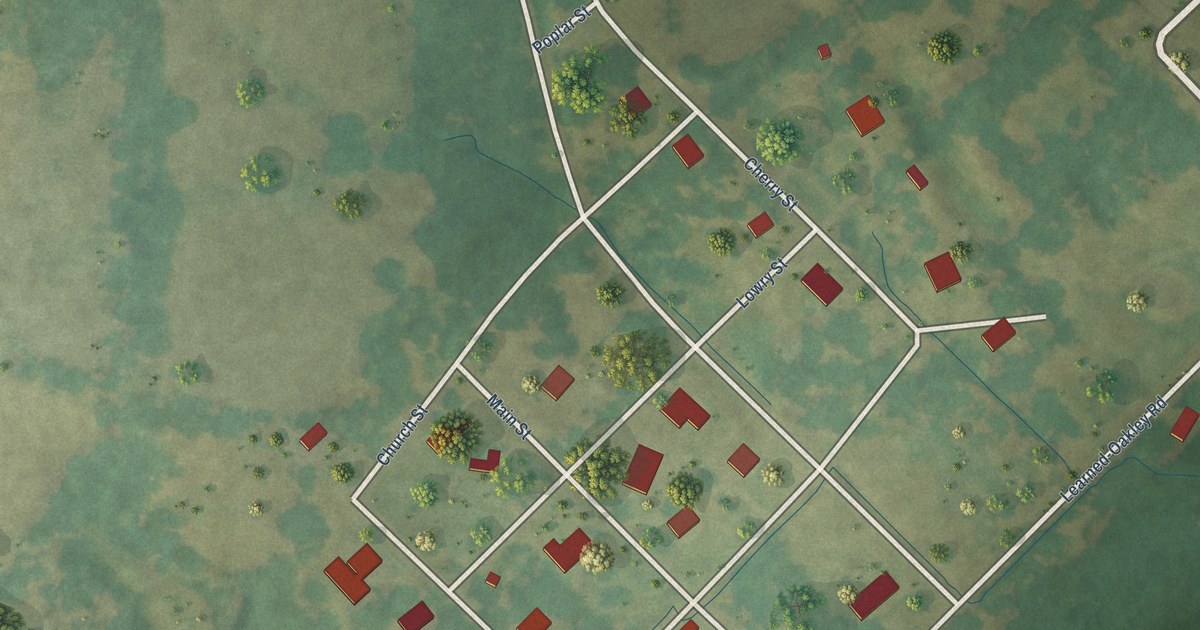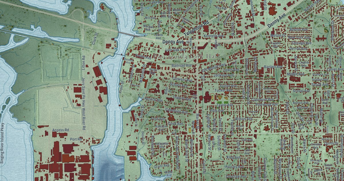
This beautifully detailed map of Pascagoula, Mississippi was created in 2026 using aerial imagery combined with modern topographical, census, street and landmark data. It’s a one-of-a-kind view of Pascagoula that combines accurate data with a vintage aesthetic. The map shows every building in its true location, many of the roads carry their names, and the shaded topographic relief shows the shape of the land.
Explore an aerial view of Pascagoula, Mississippi
On the map you’ll find Pascagoula City Hall, East Side, South Pascagoula, and East Pascagoula, along with Telephone Road, Denny Avenue, Industrial Highway 63, Access Road, Jerry Saint Pe Highway, Convent Avenue, Jefferson Avenue, 24th Street, and more. If you look closely you can even find your house accurately drawn in its correct location. Zoom in on the preview to look for yours.
Did you know this piece of Pascagoula, Mississippi history?
From Mississippiencyclopedia.org: "A cotton depot opened in Jackson County in 1819, the Round Island Lighthouse began its work in 1832, and Pascagoula was a popular steamboat stop."
Take a closer look at the Pascagoula map
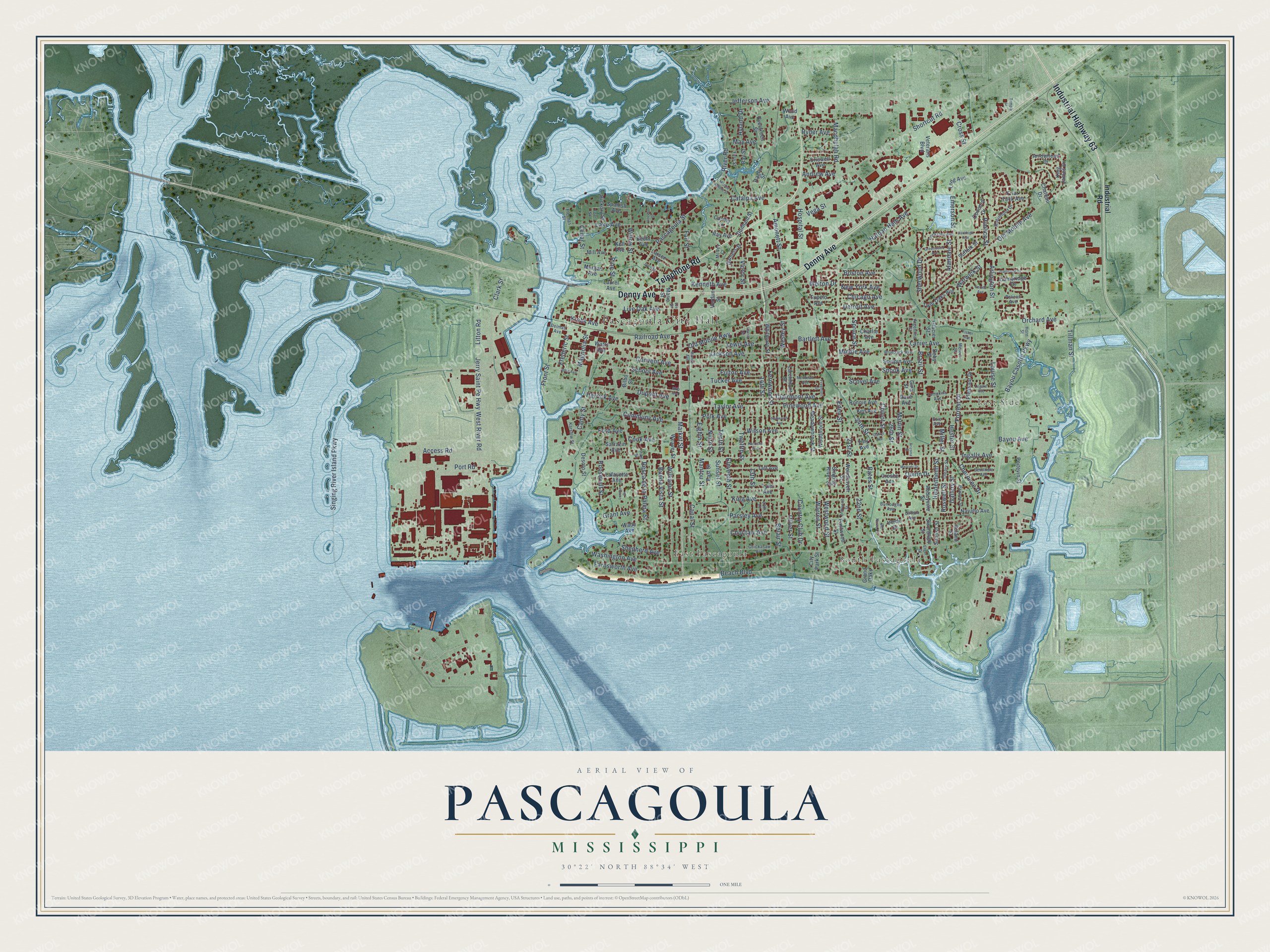
Street and place names on the Pascagoula, Mississippi map
These names are printed on the map of Pascagoula, Mississippi.
Places: Pascagoula City Hall, East Side, South Pascagoula and East Pascagoula.
Streets and roads: Telephone Road, Denny Avenue, Industrial Highway 63, Access Road, Jerry Saint Pe Highway, Convent Avenue, Jefferson Avenue, 24th Street, Pascagoula Street, Lake Avenue, Cedar Street, Martin Street.
More street names, A to Z
13th Court, 13th Street, 14th Street, 21st Street, 22nd Street, 26th Street, Abbeyville Street, Alandale Street, Amonett Street, Andrew Avenue, Argentina Street, Arizona Street, Arlington Street, Arrowhead Drive, Bartlett Avenue, Bates Street, Bayou Avenue, Bayou Casotte Parkway, Bay Street, Beach Boulevard, Becht Avenue, Belair Street, Bilbo Street, Blueback Avenue, Boston Avenue, Brazil Street, Buena Vista Street, Burroughs Avenue, Cambridge Drive, Canal Street, Canty Street, Catalpa Avenue, Cauley Lane, Charlie Avenue, Chateau Drive, Cherokee Drive, Chicago Avenue, Chickasaw Avenue, Chicot Street, Choctaw Avenue, City Park Street, Clairmont Avenue, Clark Street, Clifton Avenue, Communy Avenue, Concord Drive, Cook Avenue, Country Club Drive, Criswell Avenue, Crosby Avenue, Cross Street, Dace Avenue, Daniels Street, Darryl Avenue, Delmas Avenue, Del Norte Circle, Desoto Street, Detroit Avenue, Doby Street, Driftwood Street, Dunham Street, Dupont Avenue, East Street, Eastwood Street, Eden Street, Eighth Street, Eleventh Street, Emerson Street, Enger Drive, Evergreen Street, Evie Avenue, Fair Street, Farnsworth Avenue, Fern Street, Fernwood Street, Ferrell Avenue, Fisher Avenue, Flechas Street, Ford Avenue, Forrest Drive, Fort Street, Frederic Street, Freemont Street, Friar Tuck Avenue, Front Street, Fulton Avenue, Gallery Street, Gina Street, Glacier Street, Grand Oaks, Grant Avenue, Greenwood Avenue, Harrison Avenue, Harris Street, Heidenheim Street, Herrick Avenue, Hester Street, Hickory Street, Horn Street, Hospital Street, Hyland Drive, Industrial Road, Ingalls Avenue, Jackson Avenue, Joe Avenue, John Avenue, Karslow Street, Kell Avenue, Ken Avenue, Kenneth Avenue, King Avenue, King James Drive, Krebs Avenue, Lafayette Avenue, Lanier Avenue, Larchmont Street, Larsen Avenue, Laurel Avenue, Lee Street, Legare Avenue, Lewis Avenue, Litton Road, Live Oak Avenue, Locksley Avenue, Long Avenue, Louise Street, Lureco Drive, Macphelah Road, Magnolia Street, Mantou Street, Margie Moore Street, Marie Street, Marion Avenue, Market Street, May Avenue, McVey Court, Meadowbrook Street, Melton Drive, Mercier Drive, Meteor Street, Middle Avenue, Mill Avenue, Miller Street, Montclair Avenue, Morgan Avenue, Nathan Hale Avenue, Navaho Avenue, New York Avenue, Ninth Street, Old Mobile Avenue, Old Mobile Highway, Oleary Street, Oliver Street, Orchard Avenue, Parsley Avenue, Pawnee Street, Pelican Avenue, Pike Street, Pimlico Street, Pine Street, Pinewood Avenue, Pleasant Drive, Poitevin Street, Polk Avenue, Port Road, Quinn Drive, Ragby Street, Railroad Avenue, Ray Avenue, Redwood Avenue, Resca de la Palma Street, River Road, Robinhood Drive, Ronnie Avenue, Roosevelt Street, Roswell Street, Ruland Street, Ryder Avenue, Saratoga Avenue, Sarrazin Avenue, School Avenue, Scovel Avenue, Sculpin Avenue, Seminole Avenue, Shepherd Avenue, Sherwood Drive, Shortcut Road, Singing River Island Parkway, Singing River Street, Skip Avenue, Snook Avenue, Spanish Avenue, Spruce Street, Suffolk Street, Sunfish Street, Sunset Street, Swordfish Street, Taft Avenue, Taylor Avenue, Temple Street, Tenth Street, Tillman Street, Tiny Avenue, Tompkins Avenue, Trailwood Drive, Tucker Avenue, Tupelo Avenue, Twelfth Street, Twin Oaks Avenue, Tyler Avenue, Vega Street, Verde Drive, Verdun Street, Veterans Boulevard, Victor Street, Vincent Street, Wade Avenue, Warren Street, Warwick Street, Washington Avenue, Watts Avenue, Weaver Street, Wesley Street, West River Road, Westwood Street, Whitmore Street, Williams Street, Willow Street, Wilson Avenue, Wood Avenue, Woodhaven Street, Woodmont Street.
See the Pascagoula, Mississippi map on a wall
The Pascagoula map as an 18 x 24 inch print in a black frame.

This beautifully detailed map of Pascagoula makes an attractive addition to your office, library, or den, and it can even be used to teach children the geography and history of the area. It also makes a great gift for anyone with Pascagoula roots. When you’re done exploring, click here to get your copy of the Pascagoula map.