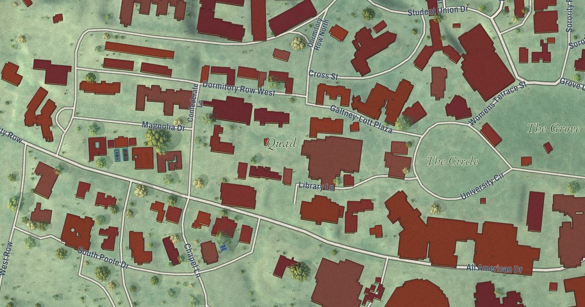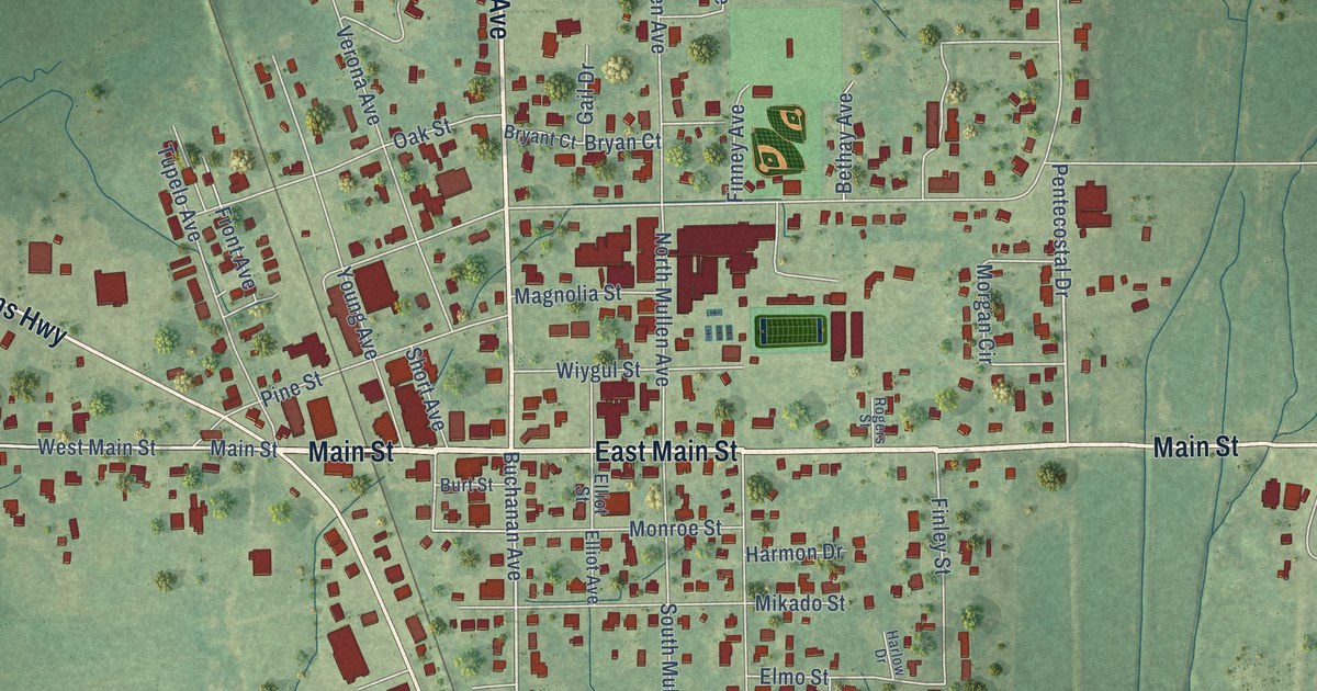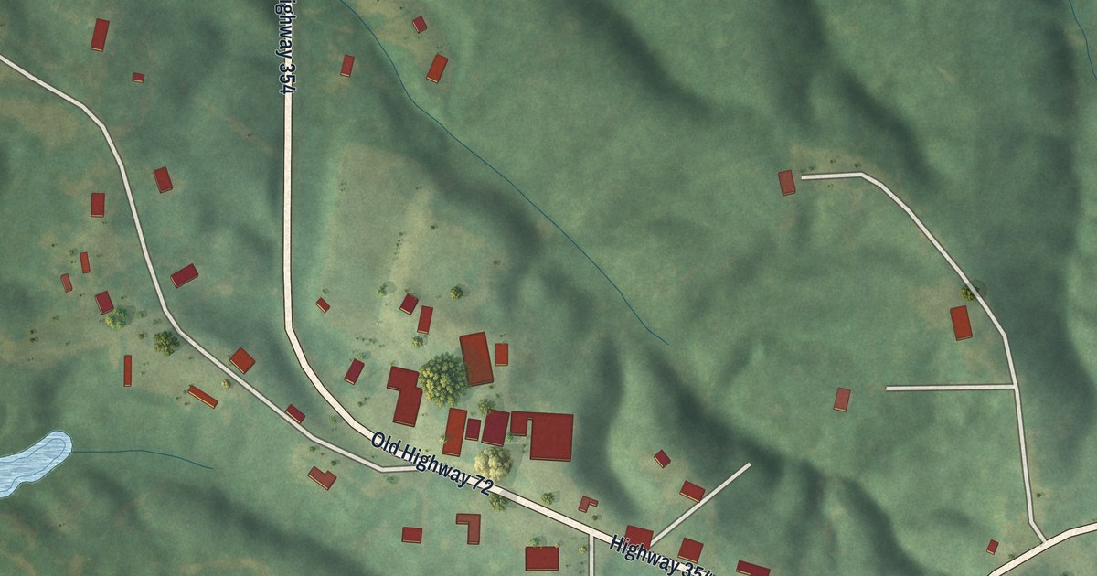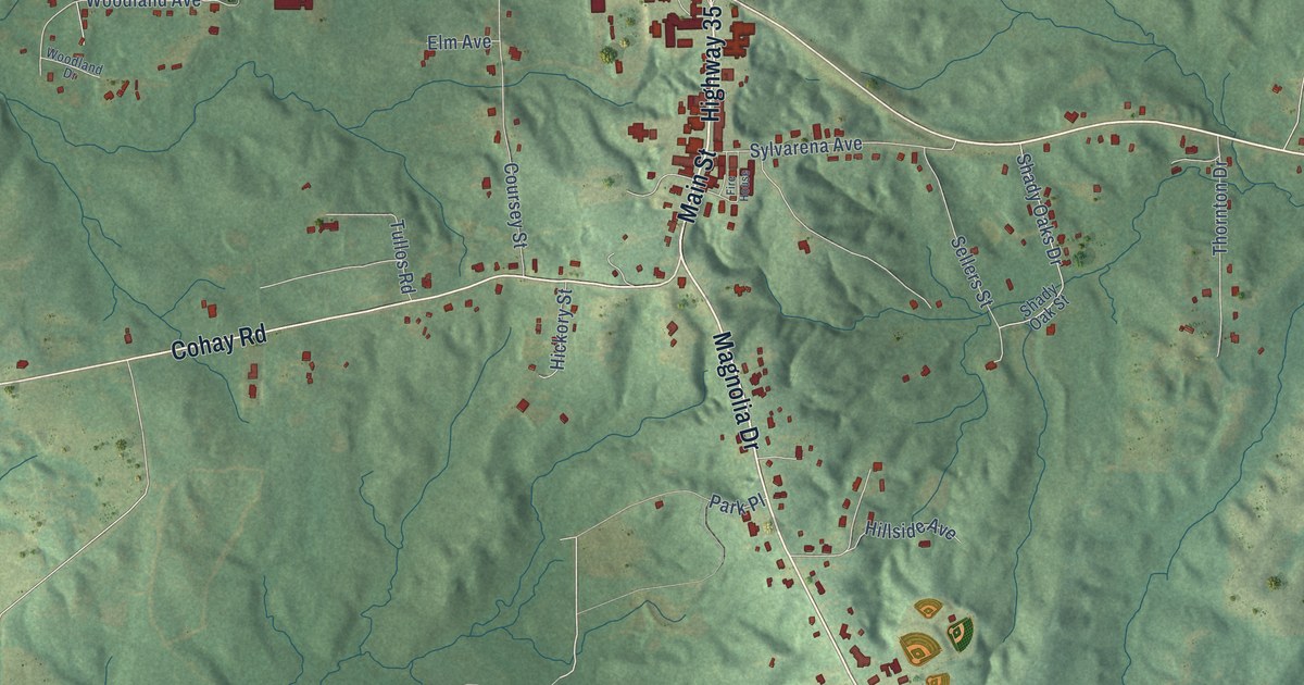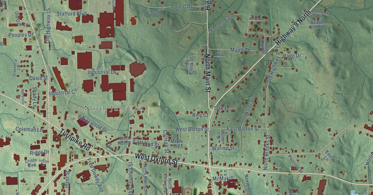
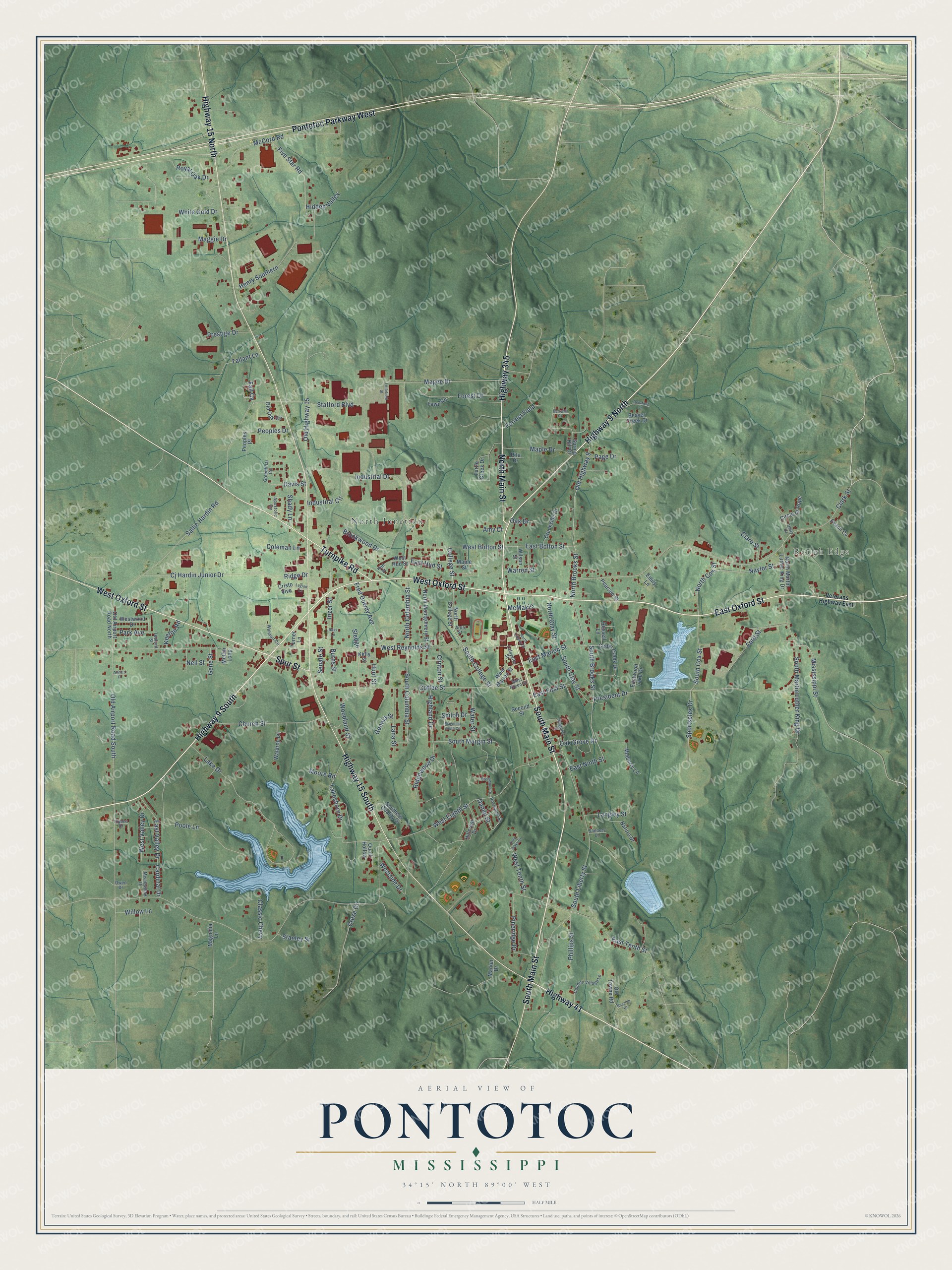
This beautifully detailed map of Pontotoc, Mississippi was created in 2026 using aerial imagery combined with modern topographical, census, street and landmark data. It’s a one-of-a-kind view of Pontotoc that combines accurate data with a vintage aesthetic. The map shows every building in its true location, many of the roads carry their names, and the shaded topographic relief shows the shape of the land.
Explore an aerial view of Pontotoc, Mississippi
On the map you’ll find Rough Edge and North Junction, along with East Oxford Street, Highway 9 North, Highway 9 South, West Oxford Street, North Main Street, Highway 15 North, Pontotoc Parkway West, Highway 15 South, South Main Street, Turnpike Road, and more. If you look closely you can even find your house accurately drawn in its correct location. Zoom in on the preview to look for yours.
Did you know this piece of Pontotoc, Mississippi history?
From Mississippiencyclopedia.org: "Born in 1922, novelist Borden Deal used his Pontotoc County roots in many of his works, including Dunbar’s Cove, a novel about the Tennessee Valley Authority."
Take a closer look at the Pontotoc map
Street and place names on the Pontotoc, Mississippi map
These names are printed on the map of Pontotoc, Mississippi.
Places: Rough Edge and North Junction.
Streets and roads: East Oxford Street, Highway 9 North, Highway 9 South, West Oxford Street, North Main Street, Highway 15 North, Pontotoc Parkway West, Highway 15 South, South Main Street, Turnpike Road, Highway 345, Highway 41.
More street names, A to Z
Amy Court, Anita's Place, Apostolic Circle, Aron Street, Beaver Creek Drive, Berryhill Cv, Brentwood Drive, Brookwood Drive, Burns Street, Cardinal Drive, Cedar Creek Drive, Church Street, Circle of Hope, Cj Hardin Junior Drive, Clare Street, Clark Street, Classic Chevy, Clinton Street, Coffee Street, Coleman Lane, College Street, Country Village Lane, Creekside Drive, Cristo Vive, Cruse Drive, Daniel Street, Davis Street, Deerfield Lane, East Bolton Street, East First Street, East Hud Street, East Marion Street, East Ninth Street, East Tenth Street, East Valley Drive, Eastwood Lake Drive, Emily Lane, Evann Cv, Fall Cv, Fawn Circle, Five Star Road, Ford Street, Forest Drive, Forrest Field, Fred Dowdy Avenue, Gene Street, Genola Street, Greenbriar Circle, Henry Southern, Hidden Valley, Highland Drive, Hillcrest Drive, Hospital Drive, Hud Street, Hunt Street, Illyana Drive, Industrial Circle, Industrial Drive, Inzer Street, Keeton Road, Kelly Street, Lafayette Street, Lake Drive, Lakeshore Drive, Lana Street, Langley Street, Legion Lane, Littlefield Street, Magee Drive, Maggie Drive, Magnolia Lane, Magnolia South Circle, Maple Drive, Maple Street, Market Drive, McCord Road, McGar Loop, McMakin, Meadowlark Drive, Mississippi Street, Moore Road, Mulberry Lane, Nature Drive, Naylor Street, Nell Street, North Brooks Street, North Clay Street, North College Street, North Columbia Street, North Cox Street, North Liberty Street, North Martin Luther King Drive, North Montgomery Street, Oak Drive, Oak Grove Drive, Old Airport Road North, Old Airport Road South, Old Highway 9, Old Highway 15, Old Oak Circle, Old Towne Road, Owen Drive, Page Drive, Park Avenue, Pearson Street, Peoples Drive, Peoples Place, Phillips Street, Pineridge Drive, Poole Lane, President Drive, Prestige Drive, Quail Hollow, Ridge Drive, Ridgewood Drive, Rita Drive, Rosalee Drive, Roseanne Street, Ross Lane, Royal Oak Drive, Russell Lane, Sallie Hardin Road, Sanders Lane, Second Street, Senate Street, Shady Lane, Shiloh Drive, Sledge, South Brooks Street, South Clay Street, South College Street, South Columbia Street, South Cox Street, Southern Quality Drive, South Liberty Street, South Margin Street, South Martin Luther King Drive, Sportsplex Drive, Spring Hill Drive, Spur Street, Stafford Boulevard, Stanley Street, Tallant Lane, Tedford Street, Turner Lane, Turtle Creek Drive, Twin Oaks Drive, Unity Drive, Veterans Highway East, Waldrop Lane, Walmart Circle, Warren Street, Water Street, West Bolton Street, West Eighth Street, West Green Street, West Hud Street, West Marion Street, West Reynolds Street, Westside Drive, West Tenth Street, West Valley Drive, Westwood Drive, White Gold Drive, Willow Lane, Wilson Street, Woodland Street.
See the Pontotoc, Mississippi map on a wall
The Pontotoc map as an 18 x 24 inch print in a black frame.

This beautifully detailed map of Pontotoc makes an attractive addition to your office, library, or den, and it can even be used to teach children the geography and history of the area. It also makes a great gift for anyone who grew up in Pontotoc or moved away. When you’re done exploring, click here to get your copy of the Pontotoc map.