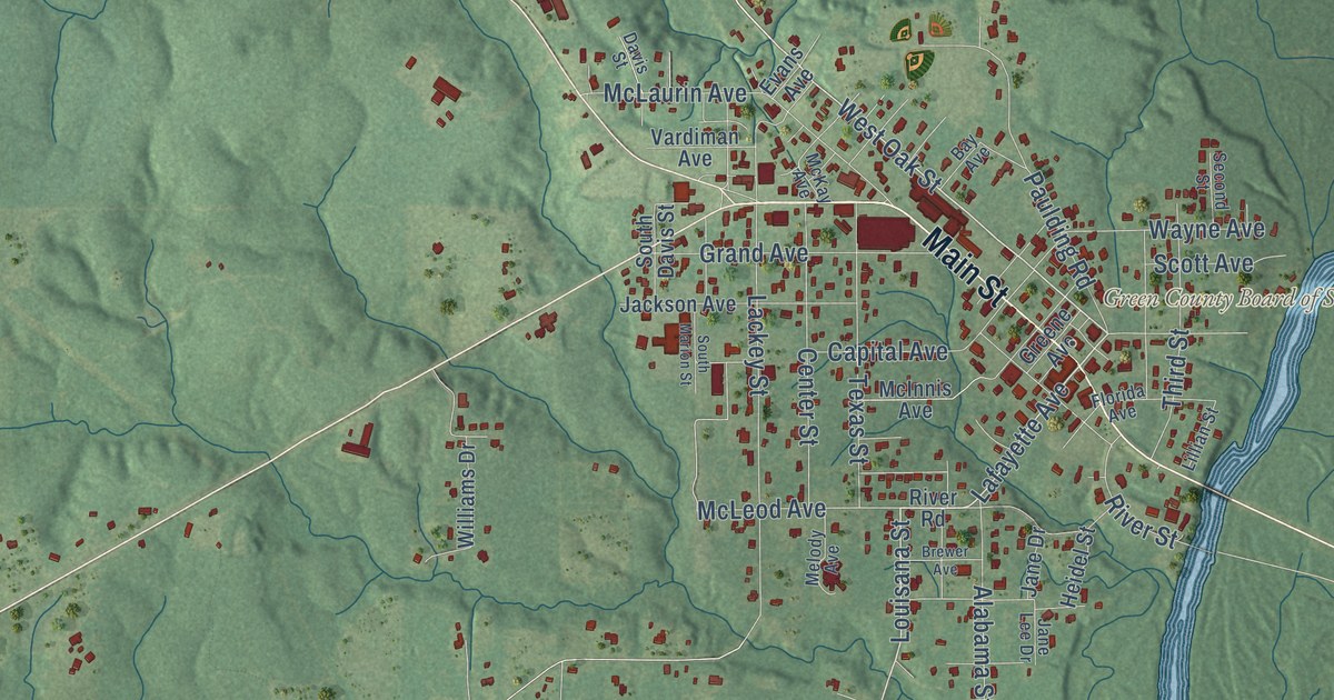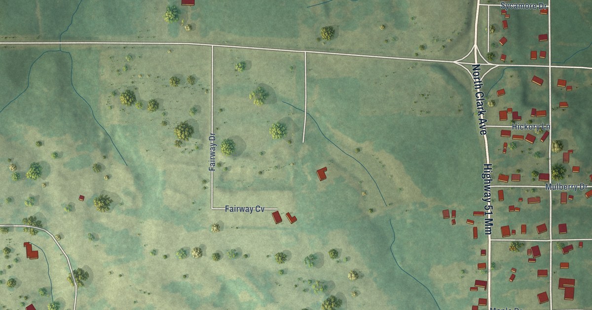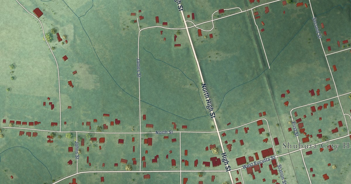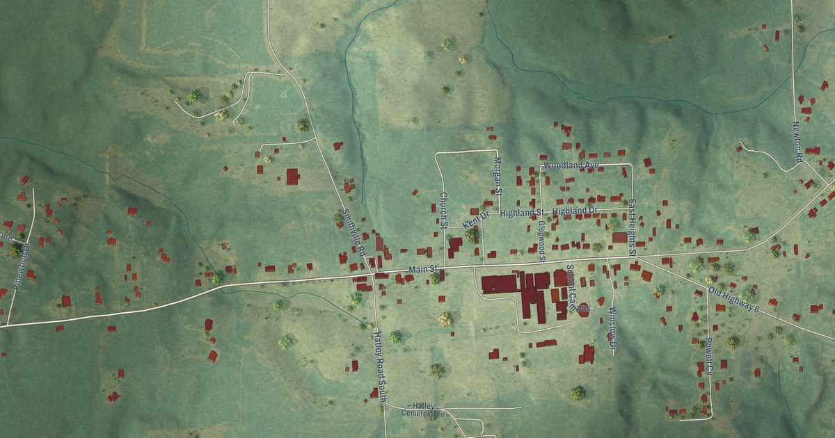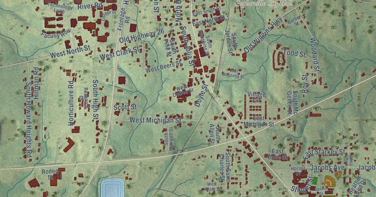
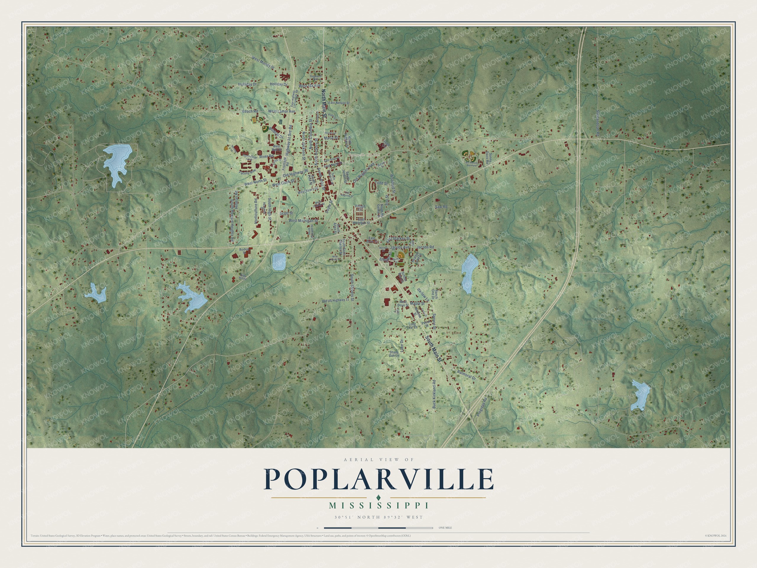
This beautifully detailed map of Poplarville, Mississippi was created in 2026 using aerial imagery combined with modern topographical, census, street and landmark data. It’s a one-of-a-kind view of Poplarville that combines accurate data with a vintage aesthetic. The map shows every building in its true location, many of the roads carry their names, and the shaded topographic relief shows the shape of the land.
Explore an aerial view of Poplarville, Mississippi
On the map you’ll find Poplarville City Hall, along with North Main Street, South Main Street, West North Street, Wildcat Drive, Highway 11 Svc Road, Jacobs Road, Old Highway 26, Spruce Street, Lake Drive, Horticulture Road, West Michigan Street, and more. If you look closely you can even find your house accurately drawn in its correct location. Zoom in on the preview to look for yours.
Did you know this piece of Poplarville, Mississippi history?
From the Mississippi Cyclopedia: "Poplarville, the county seat of Pearl River county, located on the New Orleans and North Eastern R. R. 71 miles northeast of New Orleans, was named for Poplar creek which heads at or near the center of the town."
Take a closer look at the Poplarville map
Street and place names on the Poplarville, Mississippi map
These names are printed on the map of Poplarville, Mississippi.
Places: Poplarville City Hall and Bill Watson Ball Park.
Streets and roads: North Main Street, South Main Street, West North Street, Wildcat Drive, Highway 11 Svc Road, Old Highway 26, Jacobs Road, Spruce Street, Lake Drive, Horticulture Road, West Michigan Street, Maria Street.
More street names, A to Z
Anna Street, Balmoral Drive, Barber Street, Barlow Lane, Beach Road, Bilbo Hill Drive, Buck Kirkland Road, Cedar Street, College Drive, Dogwood Avenue, Doyle Street, East Dove Street, East Highway 11 Frontage Road, East Magnolia Street, East Michigan Street, East Nelson Street, East North Street, East Smith Street, East Starkey Street, Faculiy Row, Frontage Road, Heather Land Drive, Hillman Road, Holiday Drive, Holliday Drive, Hornet Drive, Jacobs Avenue, Long Leaf Lane, Maple Street, McVay Drive, Mimosa Street, Morris Lane, North Columbia Street, North Hickory Street, North Hughes Street, North Jackson Street, Nursing Lane, Old US Highway 11, Old Wiggins Highway, Pecan Street, Poplar Drive, Progress Road, Quail Street, Ranch One Drive, Research Drive, River Road, Rodeo Street, Roy Street, Saw Road, School Bus Circle, Scott Street, Shady Oak Lane, Shenandoah Road, Sonny Davis Road, South Allen Street, South Dauphine Street, South High Street, South Howard Heights Road, South Jordan Street, South Julia Street, South Maxwell Street, South Mc Gehee Street, South Pine Street, South Saint Charles Street, South Shivers Street, Sports Street, Stinger Street, Technology Loop, Todd Circle, Todd Street, Village Circle, West Beers Street, West Bell Street, West Church Street, West Clark Street, West Dove Street, West Ida Avenue, West Lamar Avenue, West Moody Street, West Rouse Street, Woodard Street.
See the Poplarville, Mississippi map on a wall
The Poplarville map as an 18 x 24 inch print in a black frame.

This beautifully detailed map of Poplarville makes an attractive addition to your office, library, or den, and it can even be used to teach children the geography and history of the area. It also makes a great gift for anyone who grew up in Poplarville or moved away. When you’re done exploring, click here to get your copy of the Poplarville map.