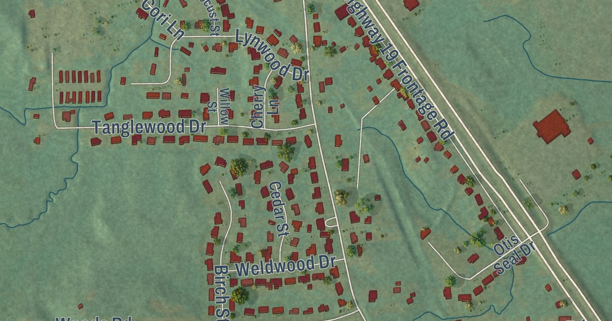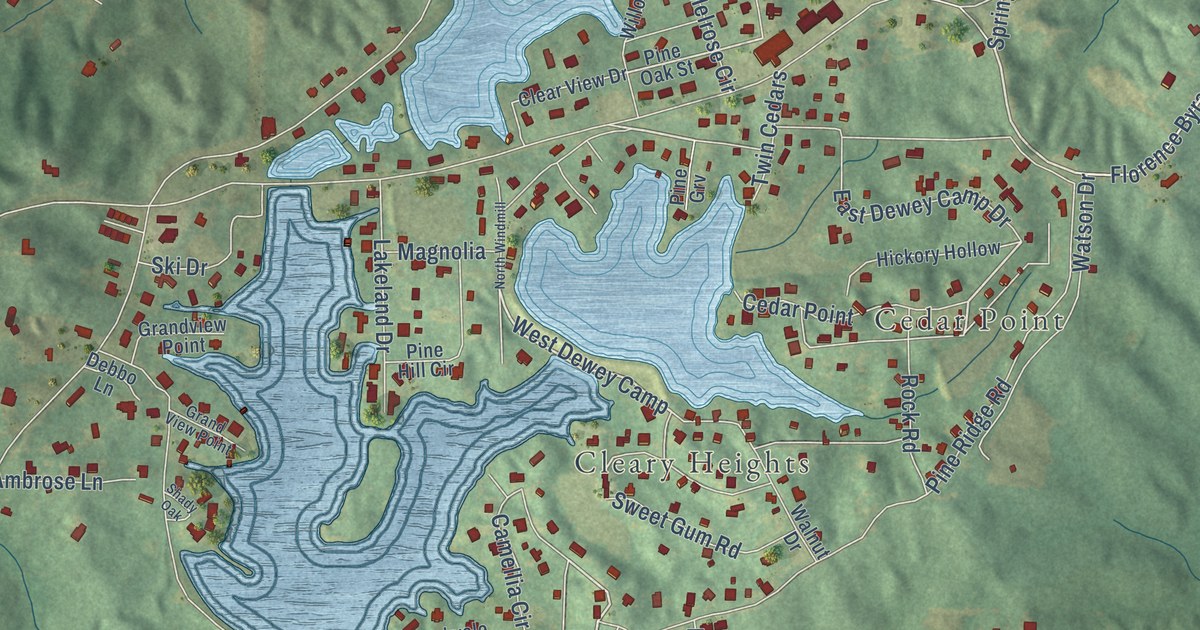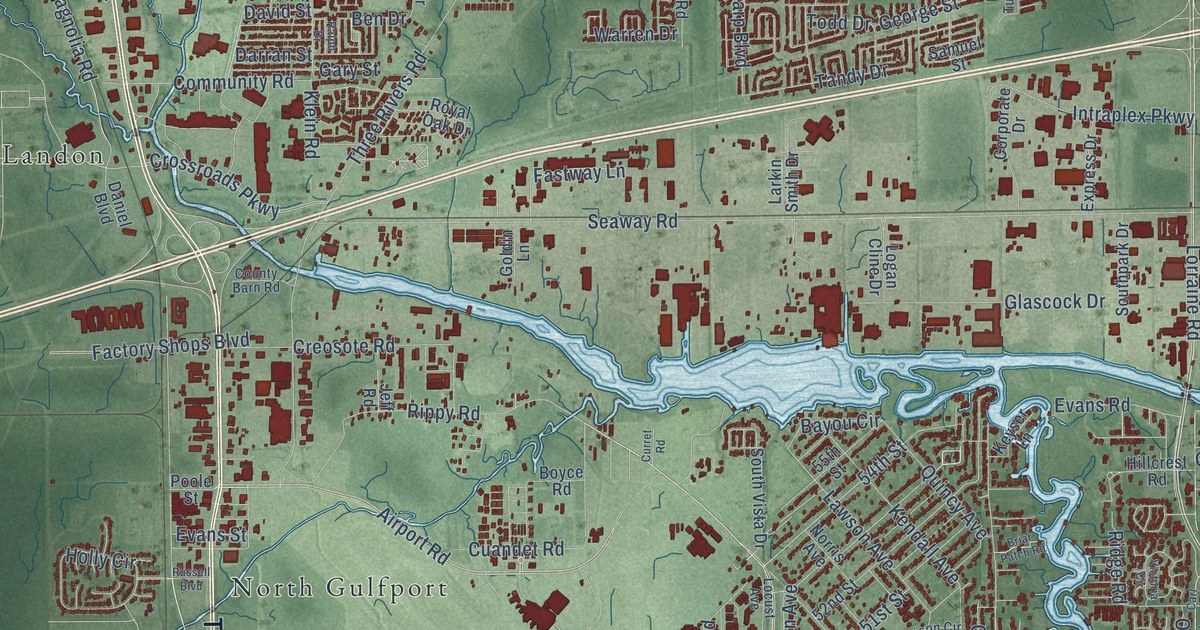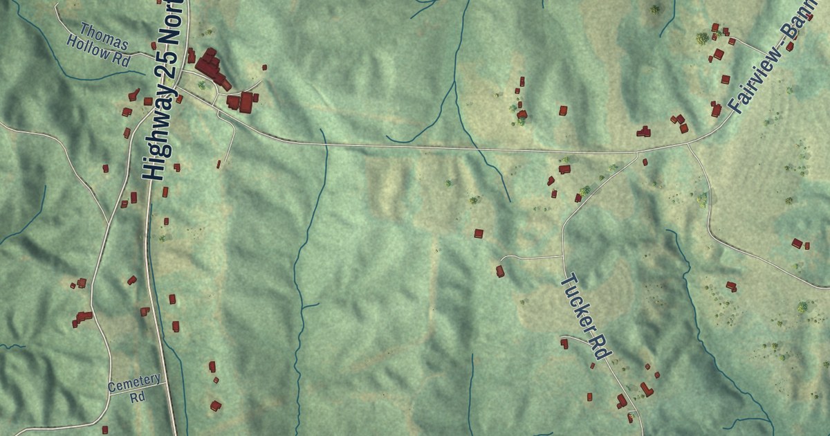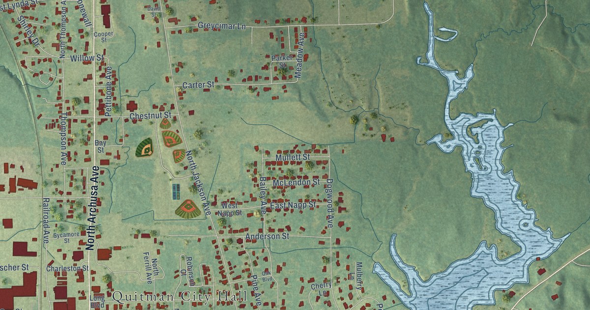
This beautifully detailed map of Quitman, Mississippi was created in 2026 using aerial imagery combined with modern topographical, census, street and landmark data. It’s a one-of-a-kind view of Quitman that combines accurate data with a vintage aesthetic. The map shows every building in its true location, many of the roads carry their names, and the shaded topographic relief shows the shape of the land.
Explore an aerial view of Quitman, Mississippi
On the map you’ll find Quitman City Hall and Quitman Cemetery, along with East Franklin Street, South Archusa Avenue, North Archusa Avenue, West Donald Street, West Church Street, East Church Street, Meadow Avenue, Terral Lane, North Jackson Avenue, Harris Avenue, and more. If you look closely you can even find your house accurately drawn in its correct location. Zoom in on the preview to look for yours.
Did you know this piece of Quitman, Mississippi history?
From the Mississippi A Guide to the Magnolia State: "Before the war Quitman had traded with Enterprise and the Gulf Coast by means of the Chickasawhay River, until the sinking of a river freighter stopped navigation."
Take a closer look at the Quitman map
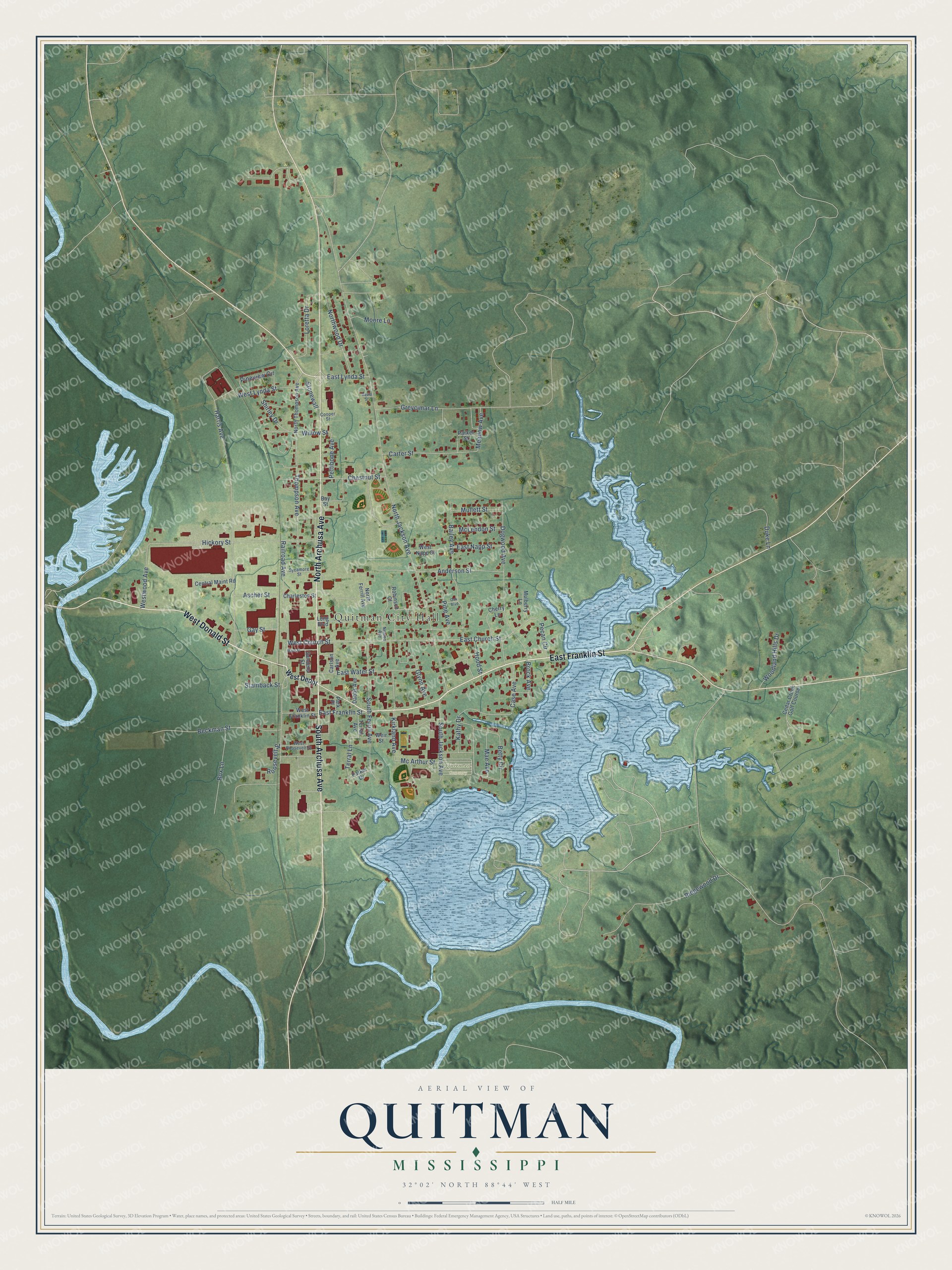
Street and place names on the Quitman, Mississippi map
These names are printed on the map of Quitman, Mississippi.
Places: Quitman City Hall, Quitman Cemetery and Cedar Creek Golf Course.
Streets and roads: East Franklin Street, South Archusa Avenue, North Archusa Avenue, West Donald Street, West Church Street, East Church Street, Meadow Avenue, Terral Lane, North Jackson Avenue, Harris Avenue, Railroad Avenue, Dogwood Avenue.
More street names, A to Z
Anderson Street, Ascher Street, Bailey Avenue, Bay Street, Beckman Street, Betty Circle, Box Lane, Brock Avenue, Carlson Avenue, Carter Street, Case Avenue, Central Maint Road, Charleston Street, Cherry Lane, Chestnut Street, Cooper Street, Dabbs Avenue, David Street, Duke Lane, East Lynda Street, East Napp Street, East Water Street, Gay Street, Glynn Avenue, Greycimar Lane, Hickory Street, Hood Street, Kathy Drive, Kirkland Avenue, Long Boulevard, Loretta Drive, Mae Avenue, Main Street, Mc Arthur Street, McLendon Street, Moore Lane, Mulberry Lane, Mullett Street, Nelson Avenue, North Ferrill Avenue, North Thompson Avenue, Northwood Drive, Oak Boulevard, Parker Drive, Parker Street, Park Place, Pecan Circle, Pettibone Avenue, Pine Avenue, Pineview Circle, Ridgewood Drive, Robinson Court, Roosevelt Street, Sanders Street, Shirley Drive, South Ferrill Avenue, South Jackson Avenue, Stainback Street, Stonewall, Sycamore Street, Terral Avenue, Thompson Avenue, Weir Street, West Depot, West Franklin Street, West Lynda Street, West Napp Street, West Roosevelt Street, Westwood Avenue, Willow Street, Woodland Hills Drive.
See the Quitman, Mississippi map on a wall
The Quitman map as an 18 x 24 inch print in a black frame.

This beautifully detailed map of Quitman makes an attractive addition to your office, library, or den, and it can even be used to teach children the geography and history of the area. It also makes a great gift for anyone with Quitman roots. When you’re done exploring, click here to get your copy of the Quitman map.