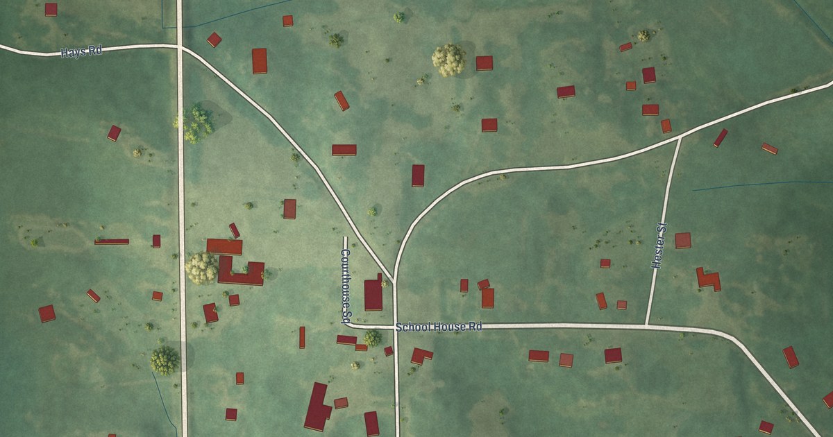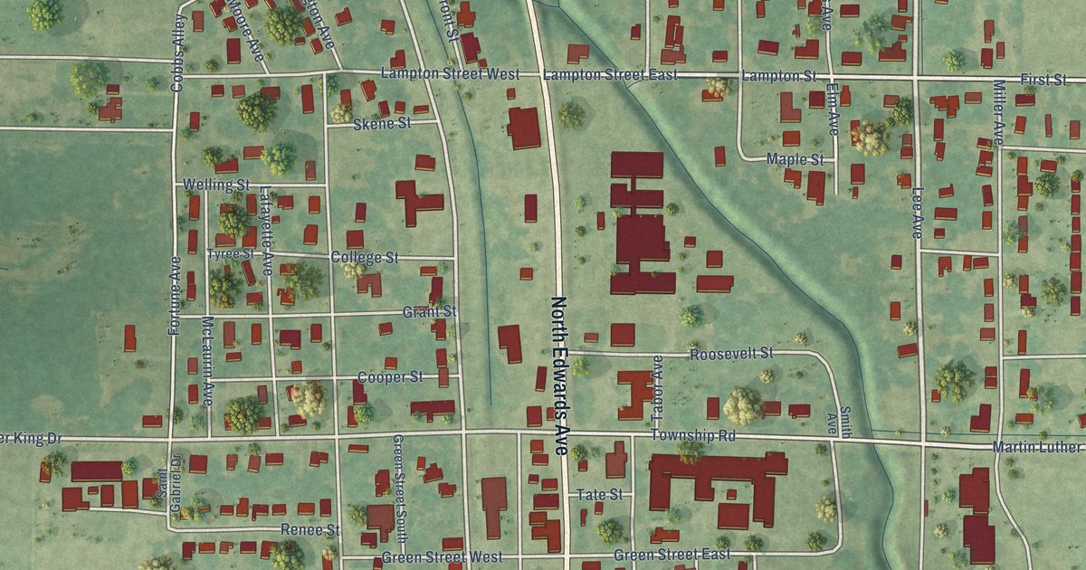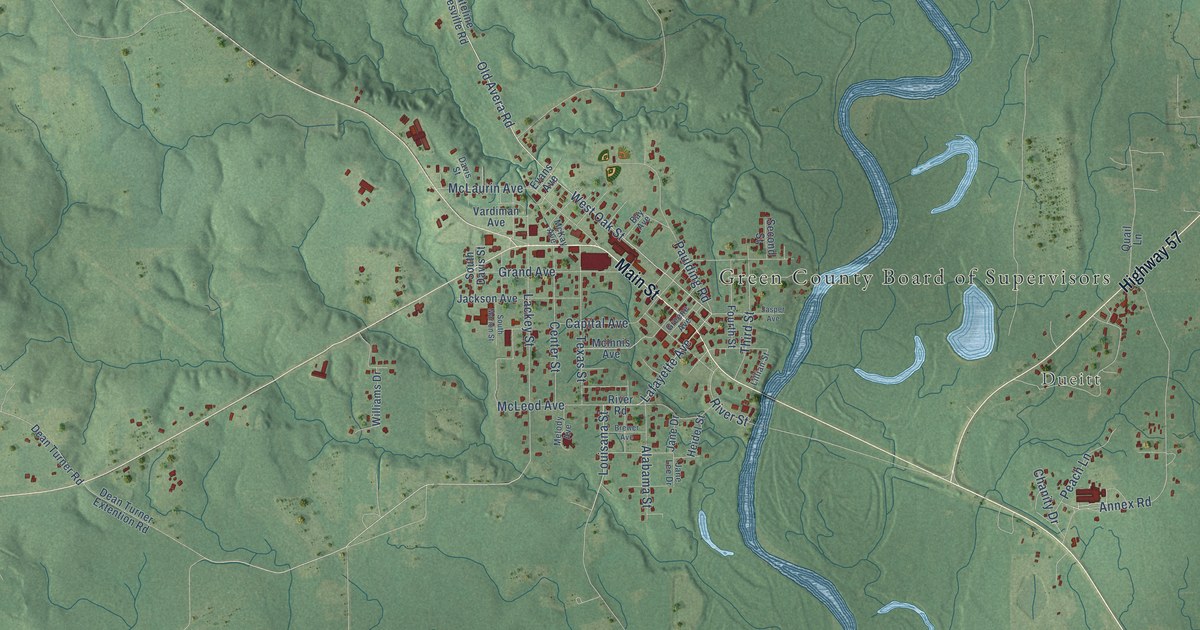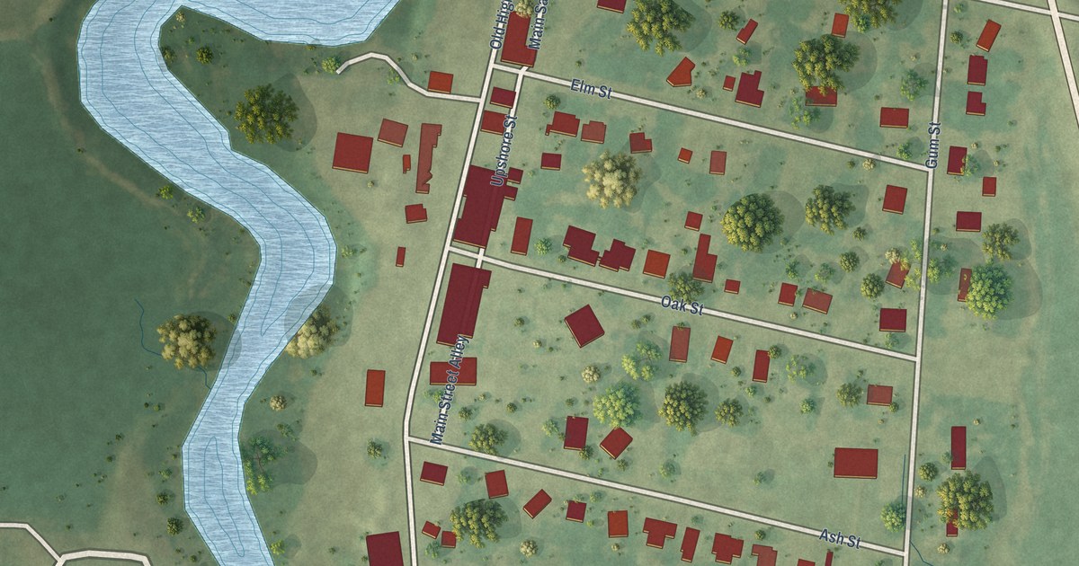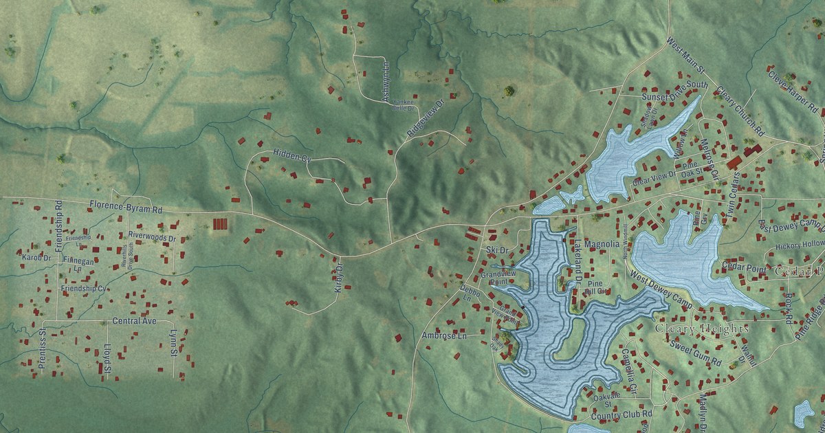
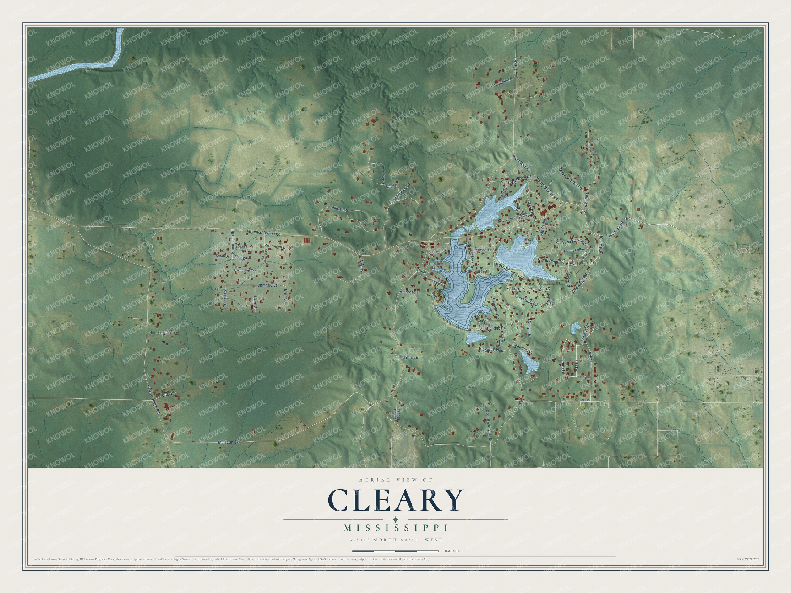
This beautifully detailed map of Cleary, Mississippi was created in 2026 using aerial imagery combined with modern topographical, census, street and landmark data. It's a modern aerial view of Cleary in Rankin County, Mississippi, that combines modern data with a vintage aesthetic. The roads feature printed names, and if you look closely you can find your exact house accurately shown in its correct location.
Explore an aerial view of Cleary, Mississippi
On this map you'll find Cedar Point, Cleary Heights, Zelma Lane, Trudy Lane, Ella Lane, Camellia Circle, West Dewey Camp, Florence Byram Road, Cleary Road, Central Avenue, Mullican Cv, Florence-Byram Road, and more. Each red shape is a building, so zoom in on the preview and look for yours.
Cleary is a community in Rankin County. The Census Bureau counted 1,688 people here in 2020. Cleary sits about 4 miles west of Florence, 5 miles southwest of Richland and 6 miles southeast of Byram. The map prints the town name in its title panel, with the coordinates below it.
Take a closer look at the Cleary map
Names on this map
These names are printed on this map.
Places: Cedar Point and Cleary Heights.
Streets and roads: Zelma Lane, Trudy Lane, Ella Lane, Camellia Circle, West Dewey Camp, Florence Byram Road, Cleary Road, Central Avenue, Mullican Cv, Florence-Byram Road, Pine Ridge Road, Hickory Ridge Road.
More street names, A to Z
Ambrose Lane, Ashwyn Lane, Boteler Bend, Britton Lane, Browning Drive, Clear View Drive, Cleary Church Road, Cleve Harper Road, Country Club Road, Cousin Love Drive, Dear Place, Debbo Lane, Dogwood Drive, East Dewey Camp Drive, Finnegan Lane, Foy Drive, Friendship Cv, Friendship Lane, Friendship Road, Grandview Point, Grand View Point, Hickory Hollow, Hickory Ridge, Hickory Ridge Trail, Hidden Cv, Karob Drive, Kirby Drive, Lakeland Drive, Little Lane, Lloyd Street, Lynn Street, Madlyn Drive, Magnolia, Melrose Circle, Mildred Circle, Mullican Road, North Eagle Ridge Drive, North Windmill, Oakvale Street, Pine Grv, Pine Hill Circle, Pine Oak Street, Prentiss Street, Ridgeview Drive, Riverhills Drive South, Riverwoods Drive, Rock Road, Shadow Lawn Drive, Shady Oak, Ski Drive, Spring Hill Drive, Sunset Drive South, Sweet Gum Road, Trudy Drive, Twin Cedars, Walnut Drive, Watson Drive, West Main Street, Willow Lane, Yankee Belle Drive.
See it on a wall
The Cleary map as a framed print. Swipe for more.


Created by KNOWOL in 2026. The buildings are small red shapes, the roads carry their printed names, and shaded relief shows the shape of the land. The title panel reads "AERIAL VIEW OF CLEARY, MISSISSIPPI" with 32°10' NORTH 90°11' WEST.
Hang it in the hallway, the office or the cabin, or give it to someone who left Cleary and still calls it home. Open the preview and look for a street you know. See sizes and frames for the Cleary map.