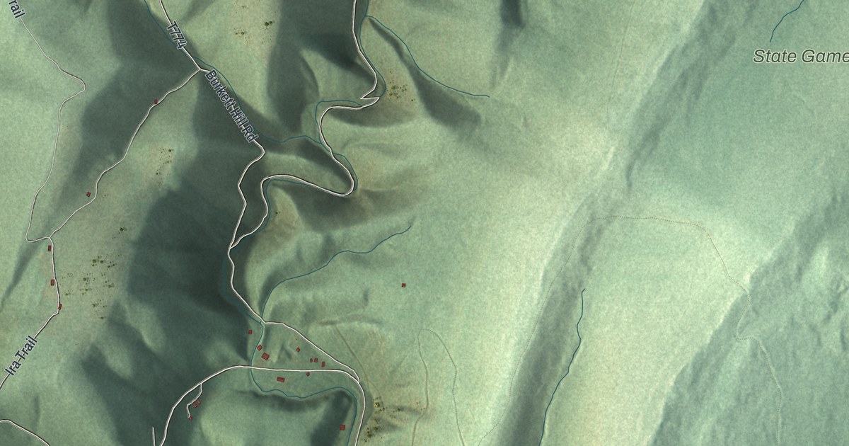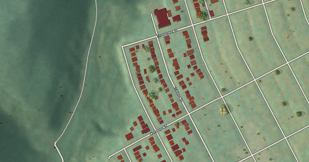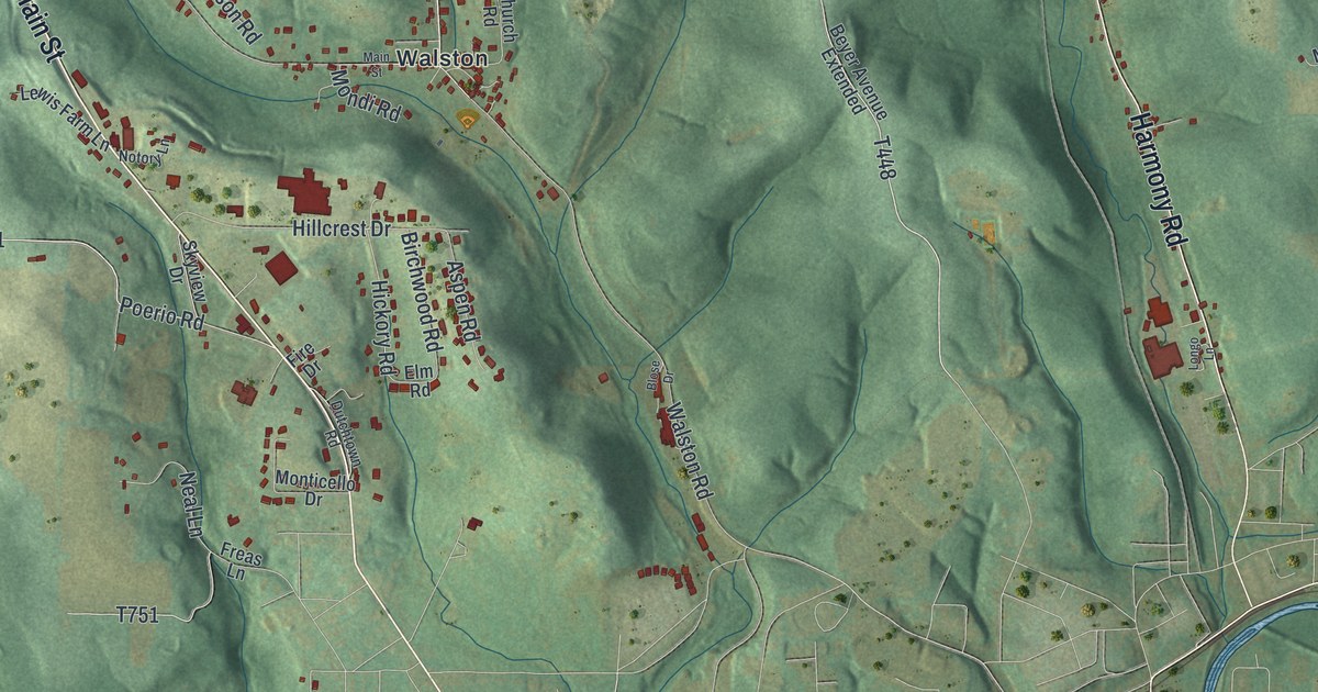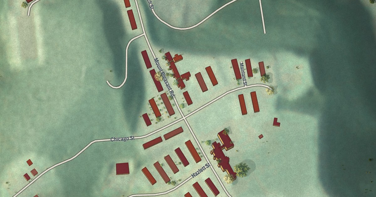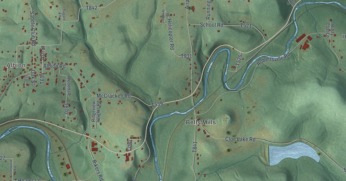
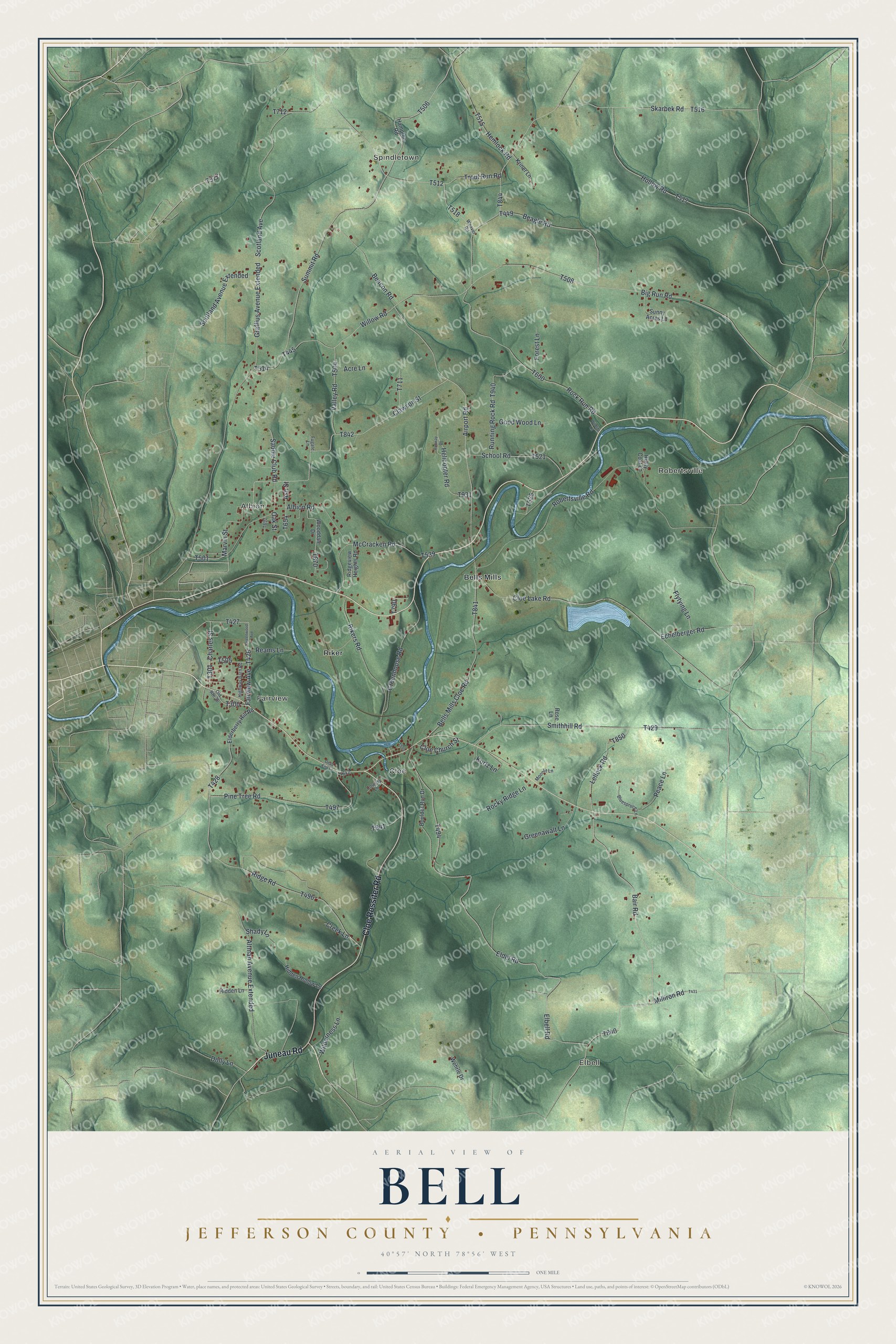
This beautifully detailed map of Bell, Jefferson County, Pennsylvania was created in 2026 using aerial imagery combined with modern topographical, census, street and landmark data. It's a modern aerial view of Bell, Jefferson County in Jefferson County, Pennsylvania, that combines modern data with a vintage aesthetic. The roads feature printed names, and if you look closely you can find your exact house accurately shown in its correct location.
Explore an aerial view of Bell, Jefferson County, Pennsylvania
On this map you'll find Elbell, Spindletown, Robertsville, Fairview, Albion, Bells Mills, Cloe, Riker, Juneau Road, Cloe Rossiter Road, T426, Hollow Road, and more. Each red shape is a building, so zoom in on the preview and look for yours.
Here is a piece of Bell, Jefferson County history, in the words of the record. The Internet Archive puts it this way: "Bowersock, and
the first grist-mill was erected in 1833, at what is now Bell's Mill Station, on
the Buffalo, Rochester and Pittsburgh railroad."
Bell, Jefferson County is a place in Jefferson County. The Census Bureau counted 2,010 people here in 2020.
Take a closer look at the Bell, Jefferson County map
Names on this map
These names are printed on this map.
Places: Elbell, Spindletown, Robertsville, Fairview, Albion, Bells Mills, Cloe and Riker.
Streets and roads: Juneau Road, Cloe Rossiter Road, Hollow Road, Bair Road, Marvin Street, Airport Road, Graffius Avenue Extended, Elbell Road, Clawson Street, Robertsville Road, Cloe Lake Road, Summit Road.
More street names, A to Z
Acre Lane, Albion Road, Altman Avenue Extended, Ash Street, Beacon Road, Beagle Road, Bells Mills Cloe Road, Big Run Road, Bluespruce Lane, Boulder Run Drive, Charles Street, Cloe Church Street, Country Lane, Creek Lane, Dead End Lane, Dolly Lane, Echelberger Road, Eldel Road, Elderberry Hill Road, Fairview Avenue, Flytying Lane, Forest Lane, Fugate Lane, Good Wood Lane, Greenawalt Lane, Greenhouse Road, Greenwood Avenue, Hampton Road, Helicopter Road, Hemlock Road, Hidden Hollow Lane, Hidden Lane, Highway Barn Road, Kriner Lane, Kurtz Lane, Lellock Road, McCracken Road, Milliron Road, Moonlit Lane, Oak Street, Old Route 36, Peace Lane, Pine Tree Road, Reams Lane, Ridge Road, Ridgeview Heights Road, Rikers Road, Rock Run Road, Rocky Ridge Lane, Rose Lane, Running Rock Road, Runway Drive, Rusty Coat Lane, Saddle Club Road, School Road, Scotland Avenue, Scotland Avenue Extended, Shady Lane, Skarbek Road, Smithhill Road, Sunny Acres Lane, Trout Run Road, Valley Road, Weaver Road, Wehrle Drive, Wilderness Lane, Wildlife Lane, Willow Road, Wooddale Drive.
Created by KNOWOL in 2026. The buildings are small red shapes, the roads carry their printed names, and shaded relief shows the shape of the land. The title panel reads "AERIAL VIEW OF BELL JEFFERSON COUNTY • PENNSYLVANIA" with 4, 0, °, 5, 7, ', , N, O, R, T, H, , 7, 8, °, 5, 6, ', , W, E, S, T.
It suits a den, a classroom or a front hall, and it makes a gift for anyone with Bell, Jefferson County roots. Open the preview and find the block you know. See sizes and frames for the Bell, Jefferson County map.