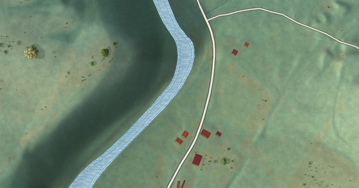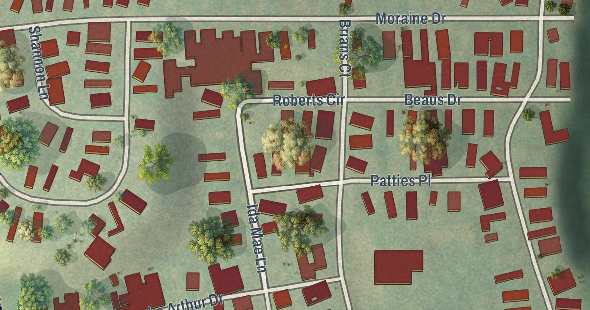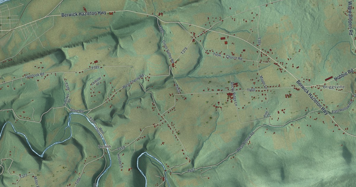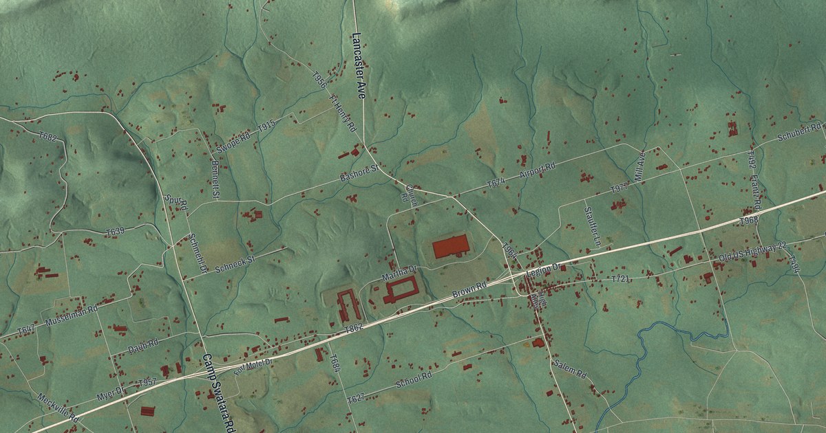
This beautifully detailed map of Bethel, Berks County, Pennsylvania was created in 2026 using aerial imagery combined with modern topographical, census, street and landmark data. It’s a one-of-a-kind view of Bethel that combines accurate data with a vintage aesthetic. The map shows every building in its true location, many of the roads carry their names, and the shaded topographic relief shows the shape of the land.
Explore an aerial view of Bethel, Berks County, Pennsylvania
On the map you’ll find Schubert, Crosskill Mills, Frystown, Meckville, and Round Head, along with Lancaster Avenue, Camp Swatara Road, Four Point Road, Musselman Road, Schmehl Drive, and more. If you look closely you can even find your house accurately drawn in its correct location. Zoom in on the preview to look for yours.
Did you know this piece of Bethel, Berks County, Pennsylvania history?
From the Pennsylvania Historical and Museum Commission: "Built 1756; garrisoned during the French and Indian War by troops under Capt. Christian Busse. Pennsylvania's major frontier defense east of Ft. Augusta (Sunbury). The site is 3/4 mile to the northwest."
Take a closer look at the Bethel, Berks County map
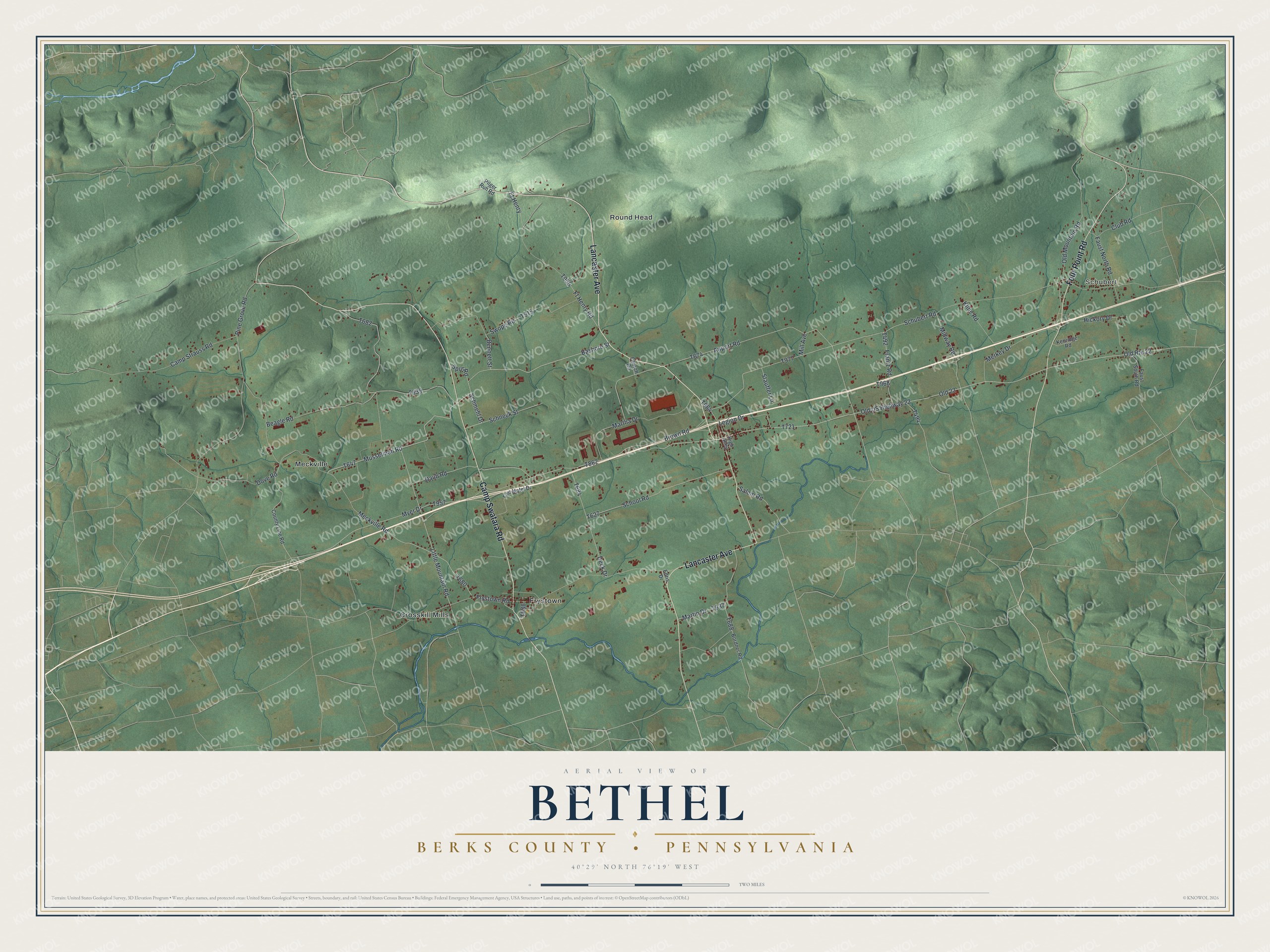
Street and place names on the Bethel, Berks County, Pennsylvania map
These names are printed on the map of Bethel, Berks County, Pennsylvania.
Places: Schubert, Crosskill Mills, Frystown, Meckville and Round Head.
Streets and roads: Lancaster Avenue, Camp Swatara Road, Four Point Road, Musselman Road, Schmehl Drive, Bashore Street, Old Route 22, Old 22, Old US Highway 22, Airport Road, Schubert Road, Little Mountain Road.
More street names, A to Z
Beagle Road, Bennett Street, Bordner Road, Brown Road, Camp Strauss Road, Church Road, Club Road, County Line Road, Daub Road, Deck Drive, Dove Road, Edris Drive, Faust North Road, Faust South Road, Fort Motel Drive, Frantz Road, Frystown Road, Ft Henry, Ft Henry Road, Hickory Drive, High Alley, Kenridge Road, Kline Road, Legion Drive, Martha Drive, Martin Drive, Meckville Road, Merkey Drive, Midway Road, Mill Avenue, Myer Drive, Old Mountain Road, Pilger Ruh Road, Pine Grove Road, Salem Road, Schneck Street, School Road, Spur Road, Stauffer Lane, Swope Road.
See the Bethel, Berks County, Pennsylvania map on a wall
The Bethel, Berks County map as an 18 x 24 inch print in a black frame.

This beautifully detailed map of Bethel, Berks County makes an attractive addition to your office, library, or den, and it can even be used to teach children the geography and history of the area. It also makes a great gift for someone who left Bethel and still calls it home. When you’re done exploring, click here to get your copy of the Bethel, Berks County map.