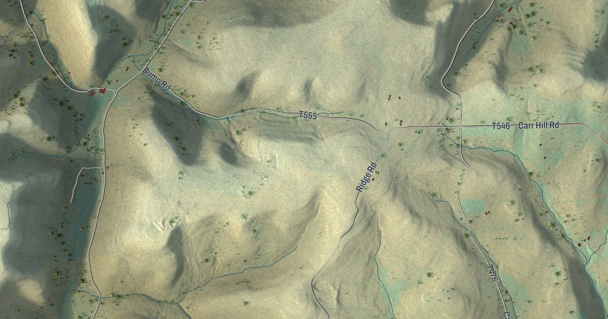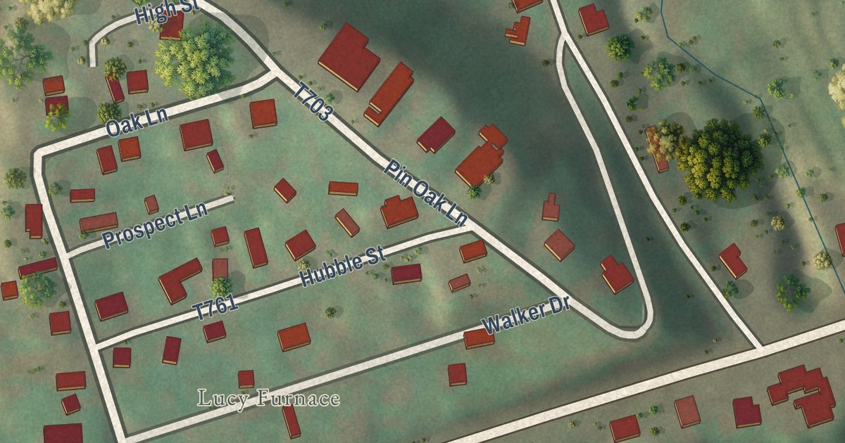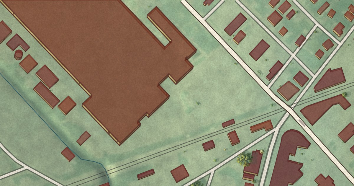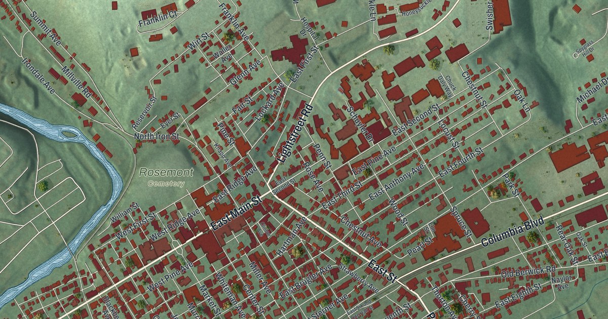
This beautifully detailed map of Bloomsburg, Pennsylvania was created in 2026 using aerial imagery combined with modern topographical, census, street and landmark data. It’s a one-of-a-kind view of Bloomsburg that combines accurate data with a vintage aesthetic. The map shows every building in its true location, many of the roads carry their names, and the shaded topographic relief shows the shape of the land.
Explore an aerial view of Bloomsburg, Pennsylvania
On the map you’ll find Bloomsburg Town Park, Streater Park, and Rosemont Cemetery, along with West Main Street, East Street, Poplar Street, East Main Street, Lightstreet Road, Ferry Avenue, Columbia Boulevard, East Tenth Street, Center Street, and more. If you look closely you can even find your house accurately drawn in its correct location. Zoom in on the preview to look for yours.
Did you know this piece of Bloomsburg, Pennsylvania history?
From the Pennsylvania Historical and Museum Commission: "Early in 1781 the McClure house was stockaded by the noted Indian fighter, Moses Van Campen, to protect settlers in this region after destruction of Fort Jenkins in 1780. Site on the north bank of the Susquehanna in present Bloomsburg."
Take a closer look at the Bloomsburg map
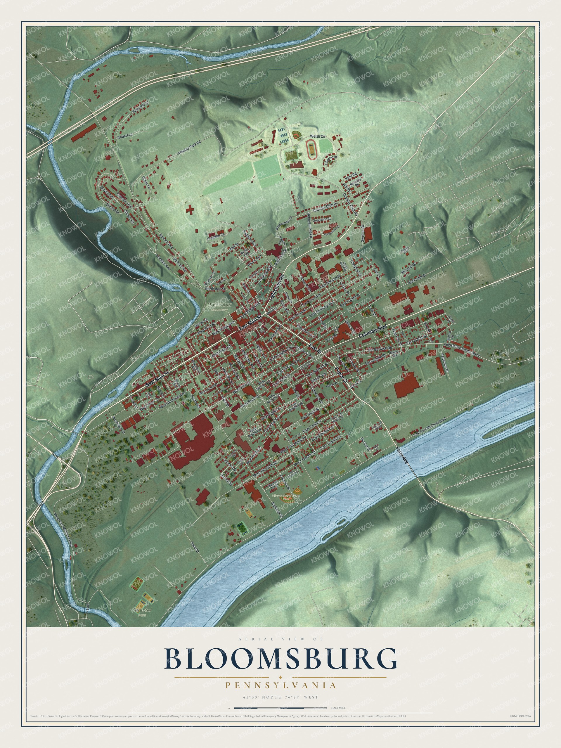
Street and place names on the Bloomsburg, Pennsylvania map
These names are printed on the map of Bloomsburg, Pennsylvania.
Places: Bloomsburg Town Park, Streater Park and Rosemont Cemetery.
Streets and roads: West Main Street, East Street, Poplar Street, East Main Street, Lightstreet Road, Ferry Avenue, Columbia Boulevard, East Tenth Street, Center Street, East Sixth Street, East Seventh Street, Market Street.
More street names, A to Z
Arbutus Park Road, Barton Avenue, Barton Street, Blackberry Avenue, Canal Street, Catherine Street, Cherry Street, Chestnut Avenue, Chestnut Street, Chuck Daly Way, Clinton Avenue, Clints Lane, Clover Avenue, Clover Court, Colonial Street, Columbia Avenue, Country Club Drive, Country Club Road, Creasy Avenue, East Anthony Avenue, East Brugler Avenue, East Eighth Street, East Eleventh Street, East Fifth Street, East First Street, East Fort McClure Boulevard, East Fourth Street, East Middle Avenue, East Ninth Street, East Pine Avenue, East Port Noble Drive, East Ridge Avenue, East Second Street, East Six and One Half Street, East Sterner Avenue, East Third Street, East Twelfth Street, Edwards Drive, Elm Street, Eyer Street, Fair Street, Franklin Avenue, Franklin Court, Glenn Avenue, Greystone Court, Harriet Street, Hartman Avenue, Hazel Street, Hemlock Lane, Hill Road, Honeysuckle Court, Honeysuckle Lane, Hospital Drive, Irondale Avenue, Iron Street, James Avenue, Jefferson Street, Kent Road, Knapp Avenue, Kressler Avenue, Legislative Route 19117, Leonard Street, Lockard Avenue, Locust Street, Maple Street, Mary Avenue, McGuire Road, Michael Drive, Miller Avenue, Millville Road, Murray Avenue, Naylor Avenue, Ninth Street, North Iron Street, Oak Lane, Oak Street, Old Berwick Road, Orchard Street, Oyer Avenue, Park Place, Park Street, Patterson Drive, Peach Avenue, Pearl Street, Penn Street, Pine Street, Railroad Street, Rear Oak Street, Reichart Avenue, Reservoir Street, Robert Lane, Rose Avenue, Sand Street, Schuyler Drive, Scott Avenue, Spruce Street, Spyglass Hill Drive, Strawberry Avenue, Summit Avenue, Sunset Drive, Swisher Drive, Thorton Avenue, Town Park Village, Vine Street, Waller Avenue, Walnut Street, Washington Street, Welsh Circle, West Anthony Avenue, West Brugler Avenue, West Eighth Street, West Eleventh Street, West Fifth Street, West First Street, West Fort McClure Boulevard, West Fourth Street, West Middle Avenue, Westminster Drive, West Ninth Street, West Pine Avenue, West Port Noble Drive, West Ridge Avenue, West Seventh Street, West Sixth Street, West Sterner Avenue, West Street, West Tenth Street, West Third Street, West Thirteenth Street, West Twelfth Street, Whiteman Avenue, William Street, Wirt Street, Wood Street.
See the Bloomsburg, Pennsylvania map on a wall
The Bloomsburg map as an 18 x 24 inch print in a black frame.

This beautifully detailed map of Bloomsburg makes an attractive addition to your office, library, or den, and it can even be used to teach children the geography and history of the area. It also makes a great gift for anyone with Bloomsburg roots. When you’re done exploring, click here to get your copy of the Bloomsburg map.